Buffalo Pass
Total Miles
7.6
Technical Rating
Best Time
Summer, Fall
Trail Type
Full-Width Road
Accessible By
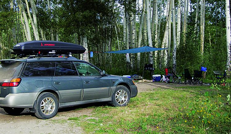
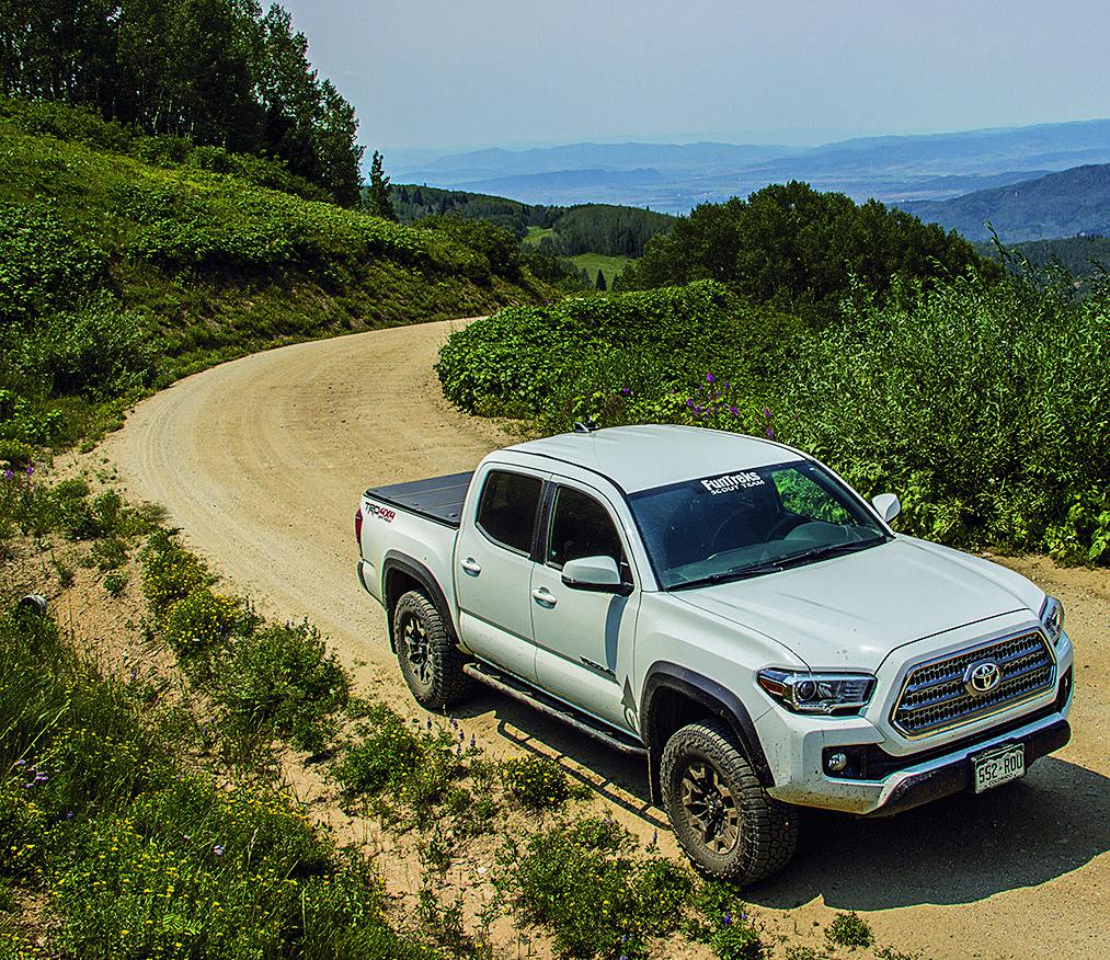
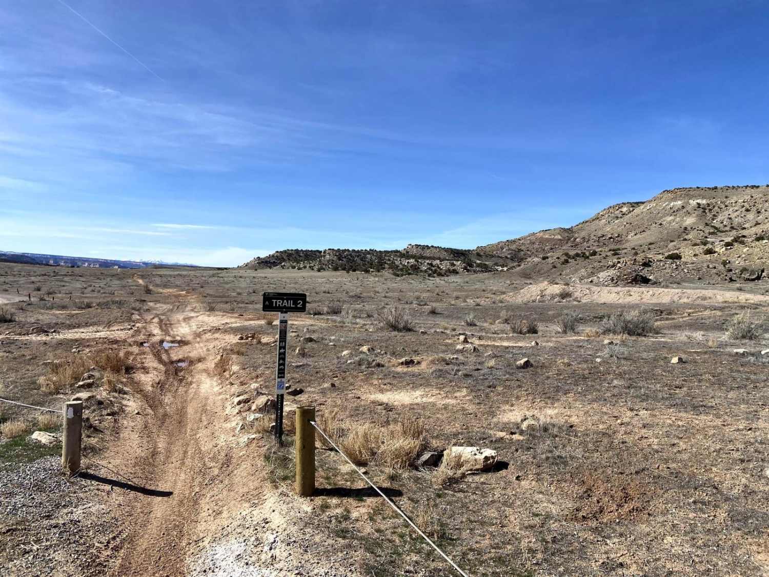
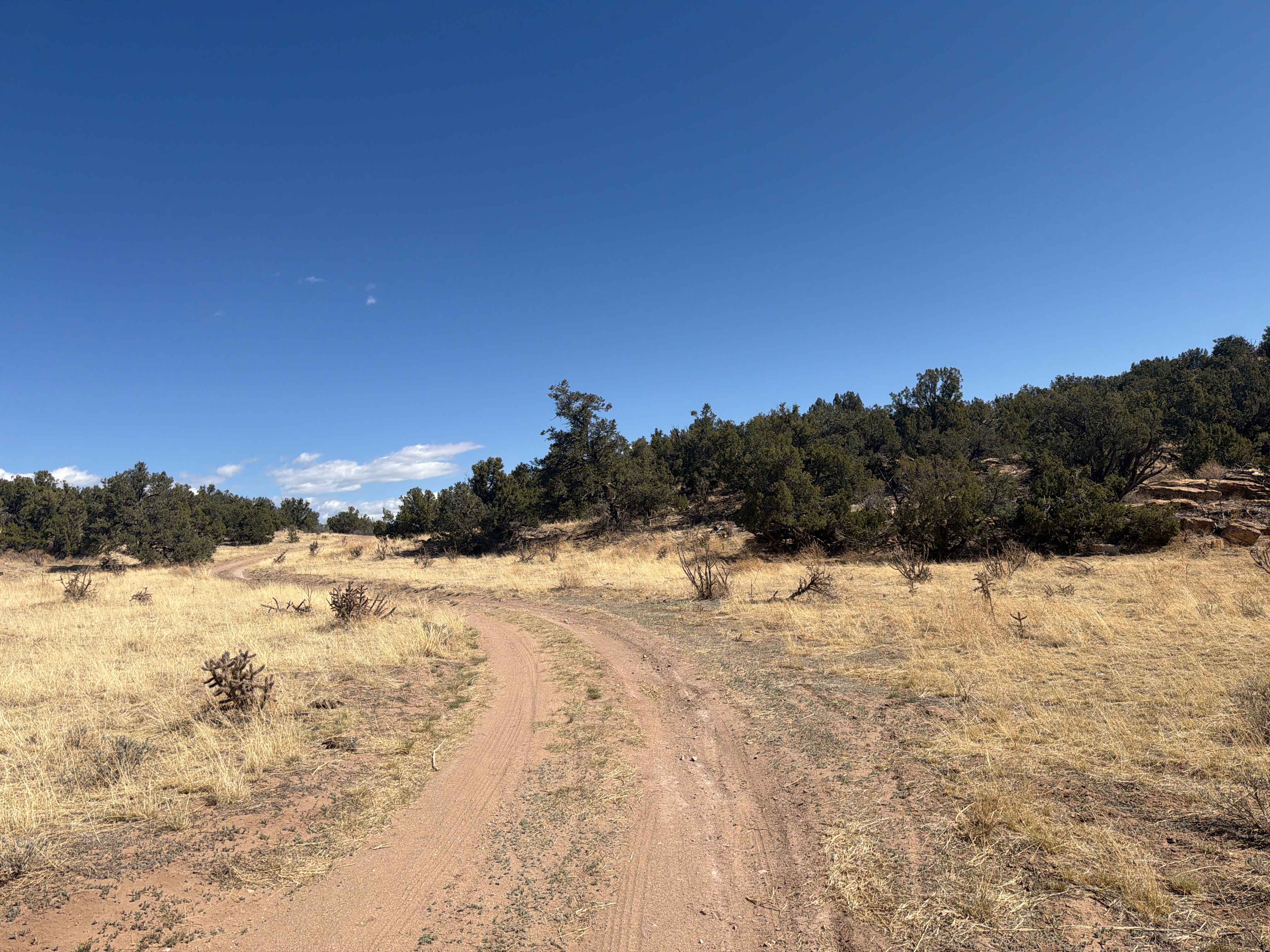
Trail Overview
Conveniently located just outside of Steamboat Springs, this is a comfortable ride with great hiking, mountain biking, fishing and camping options. Unlicensed vehicles are allowed on all roads, as well as the single-track south from the pass. The trail is shared with mountain bikers and hikers, and horseback riders so please be respectful. Higher roads open July 1 through December 1, and extended for snowmobiles.
Photos of Buffalo Pass
Difficulty
Easy. Gentle grades and relatively smooth conditions. Four-wheel drive helpful, but not necessary when road is dry. Early-season conditions may be muddy from melting snow.
History
This road was once an important route between Steamboat Springs and Walden. It now serves as a quiet backcountry getaway to Forest owers. Service campgrounds and
Status Reports
Buffalo Pass can be accessed by the following ride types:
- High-Clearance 4x4
- SUV
- SxS (60")
- ATV (50")
- Dirt Bike
Buffalo Pass Map
Popular Trails

Derbishire Gulch Road - FS 143

La Garita Creek Single Track
The onX Offroad Difference
onX Offroad combines trail photos, descriptions, difficulty ratings, width restrictions, seasonality, and more in a user-friendly interface. Available on all devices, with offline access and full compatibility with CarPlay and Android Auto. Discover what you’re missing today!