Z Walk
Total Miles
0.4
Technical Rating
Best Time
Fall, Winter, Spring
Trail Type
Full-Width Road
Accessible By
Trail Overview
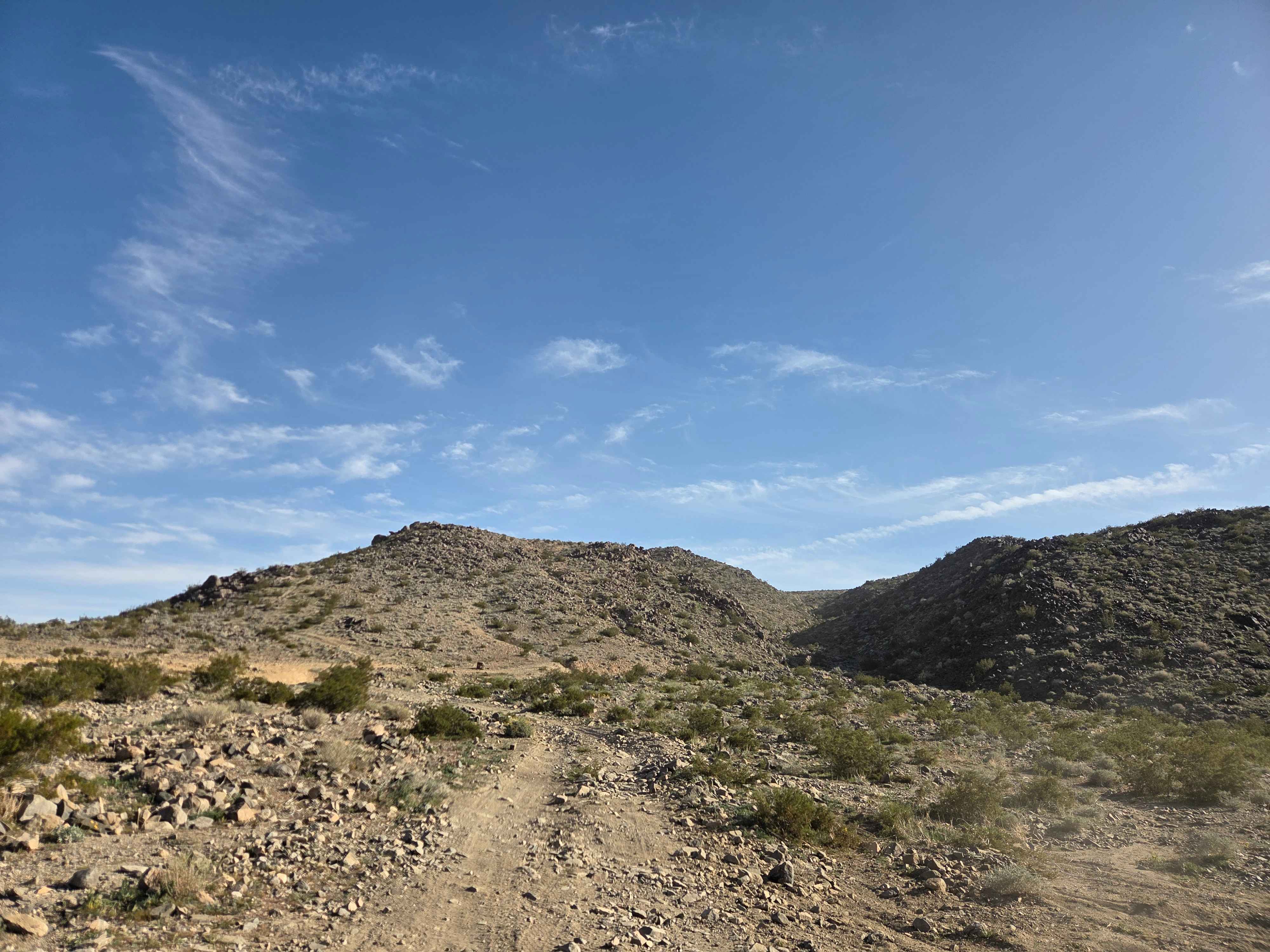
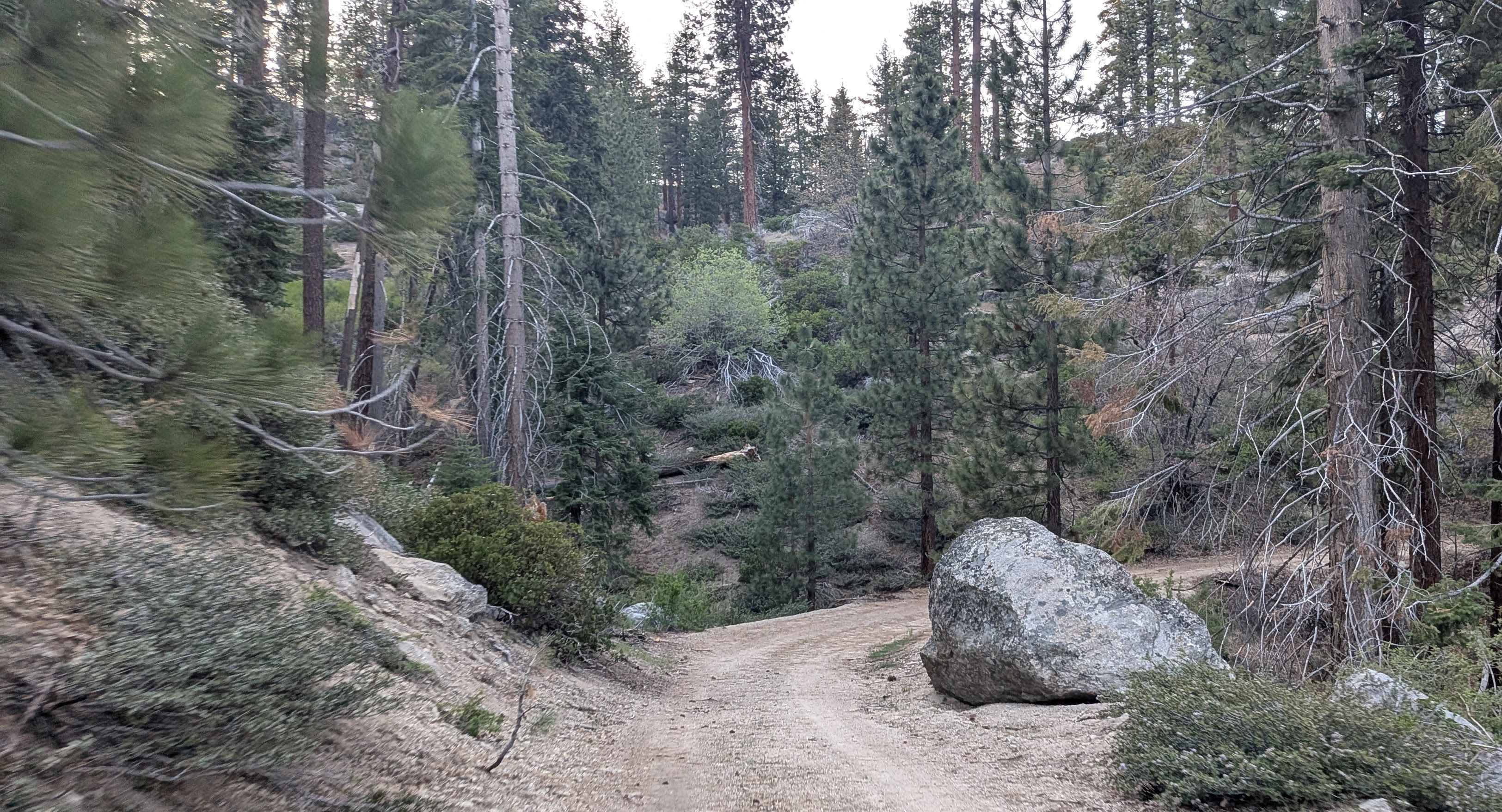
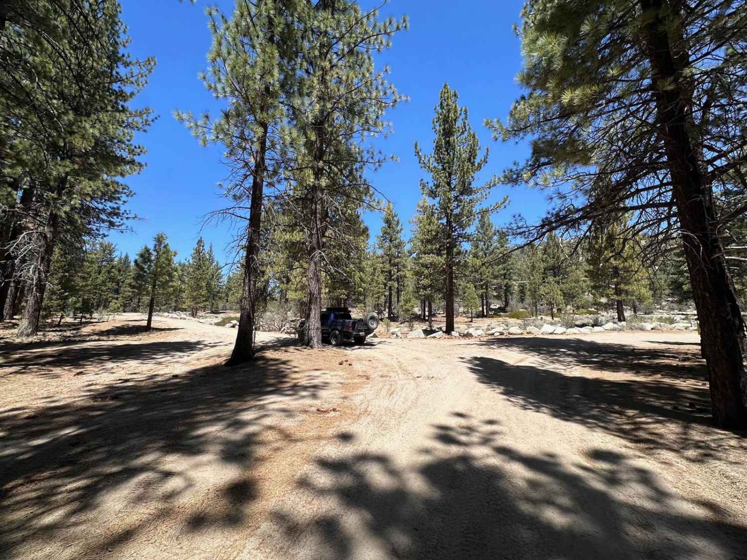
The trail begins just above Kings Veto when you head left and into the canyon. There are numerous obstacles to navigate, though most of the larger features have established bypasses. If you drop down into the main part of the trail, this trail can be pretty extreme. The main route concludes with an extremely steep, technical rock section at the summit. An alternative bypass is available at the top; however, be prepared for a climb on loose scree and dirt. The rocks in this canyon are large--expect frequent differential contact and several steep ascents, along with some large waterfalls to climb.
Photos of Z Walk
Difficulty
There are a couple of big waterfalls to climb, and the bypass at the top around the biggest section of trail is still loose and steep, so be prepared. There are plenty of diff grabbers all along the way with some off-camber sections above the waterfall.
History
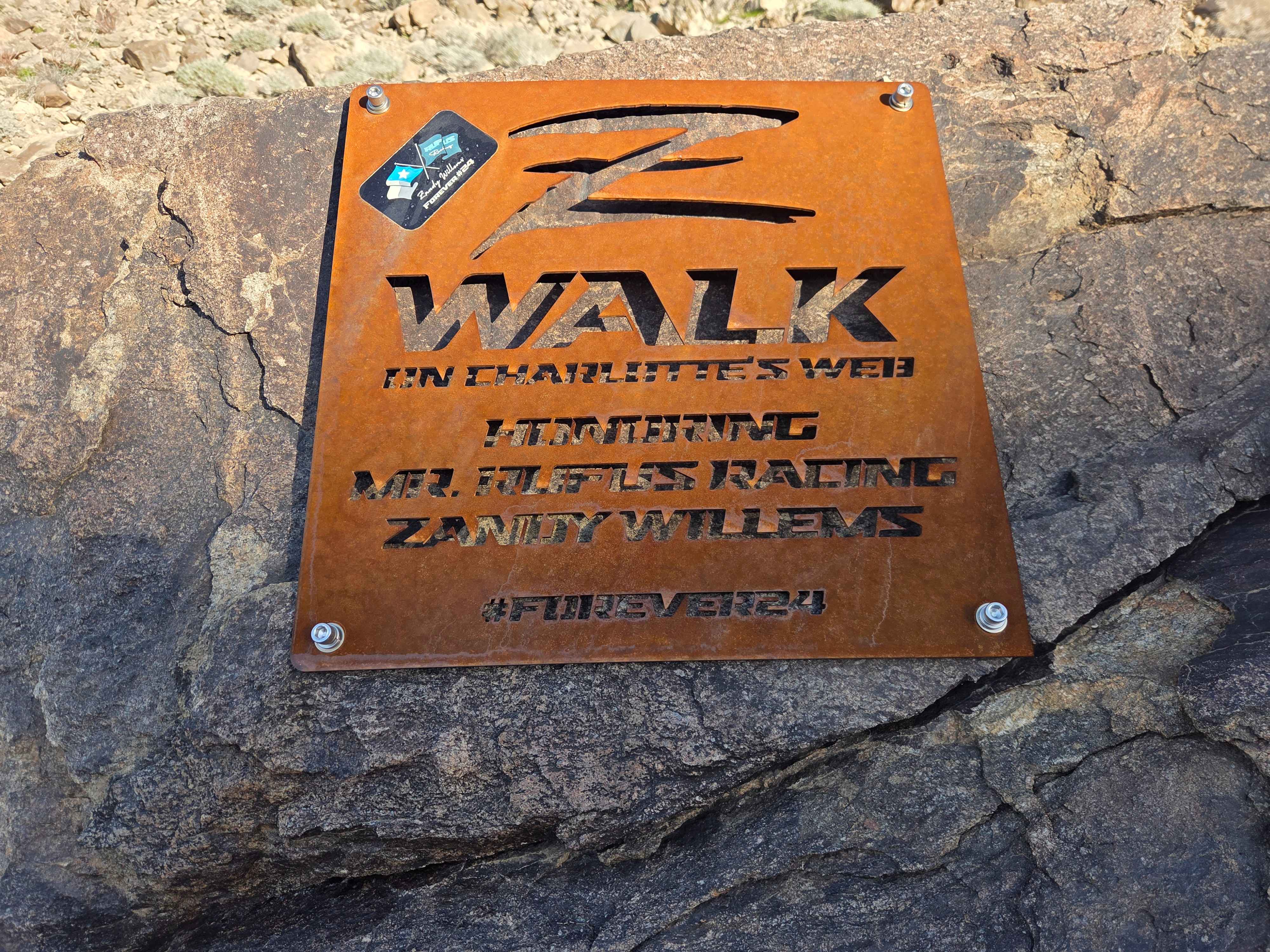
This trail was originally called Strawberry Fields and was officially renamed Z Walk in honor of Zandy Willems, an Ultra 4 racer who passed away September 3, 2022, at Crandon International Raceway.
Status Reports
Z Walk can be accessed by the following ride types:
- High-Clearance 4x4
- SUV
- SxS (60")
- ATV (50")
- Dirt Bike
Z Walk Map
Popular Trails

Heartbreak Ridge
Packsaddle - FS 23S26
Conway Ranch Road
Harvey Mine - 3N43
The onX Offroad Difference
onX Offroad combines trail photos, descriptions, difficulty ratings, width restrictions, seasonality, and more in a user-friendly interface. Available on all devices, with offline access and full compatibility with CarPlay and Android Auto. Discover what you’re missing today!