QTC
Total Miles
1.7
Technical Rating
Best Time
Spring, Fall
Trail Type
Single Track
Accessible By
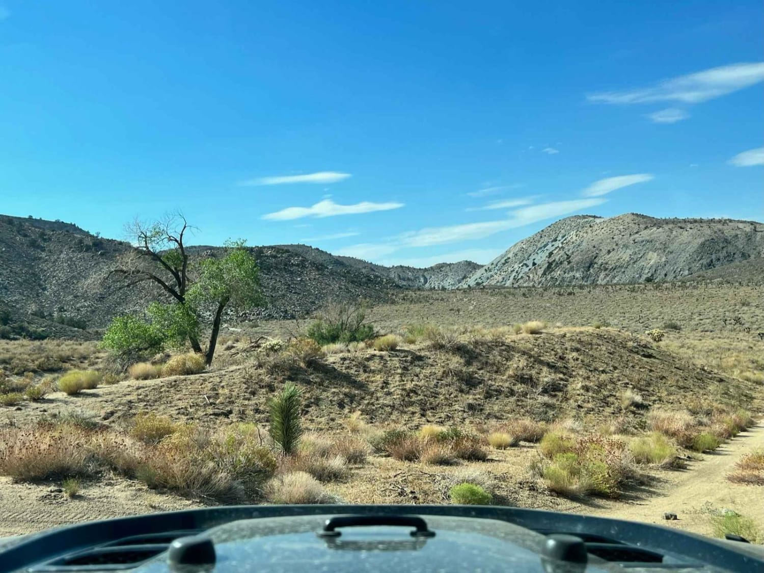
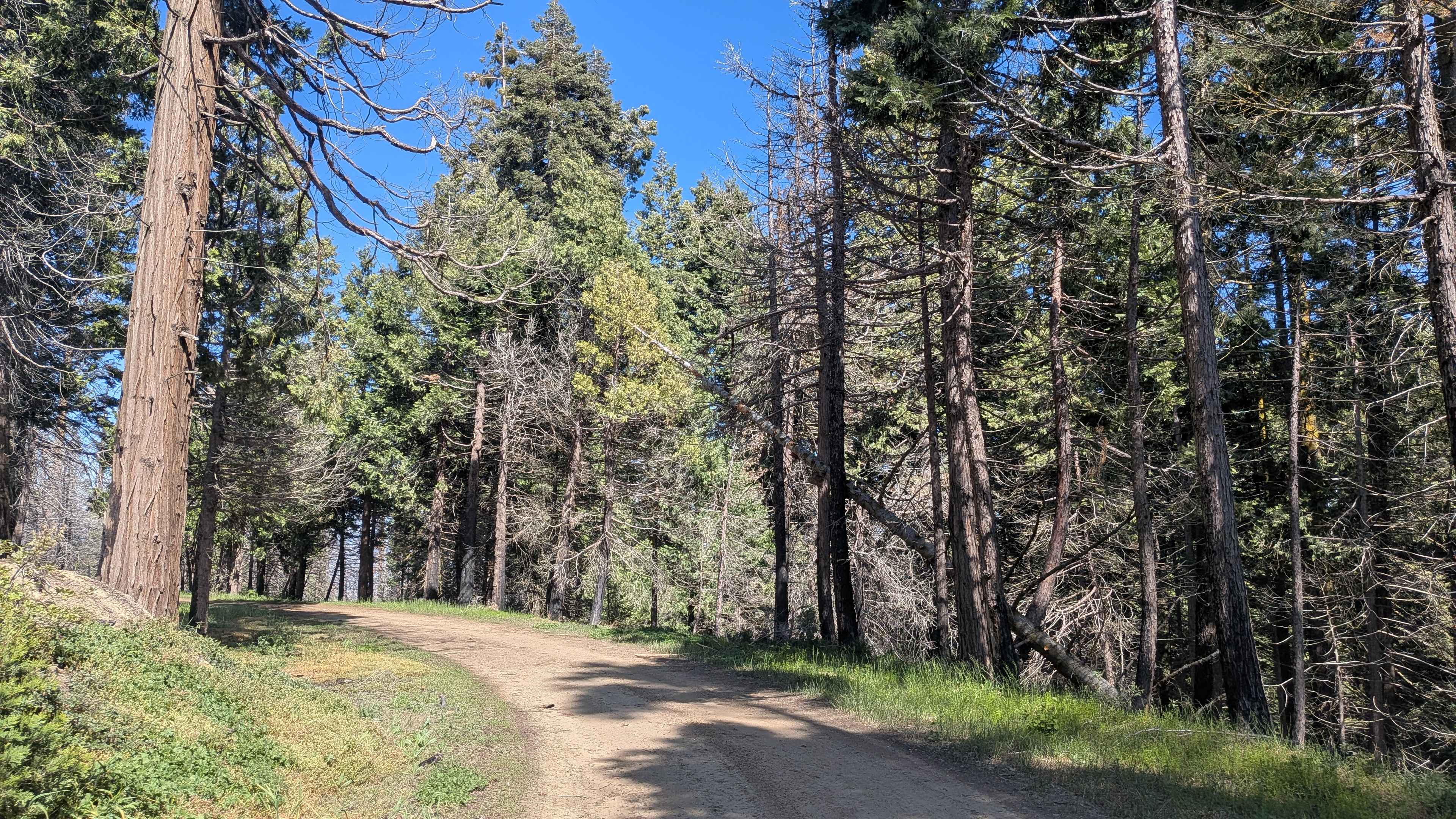
Trail Overview
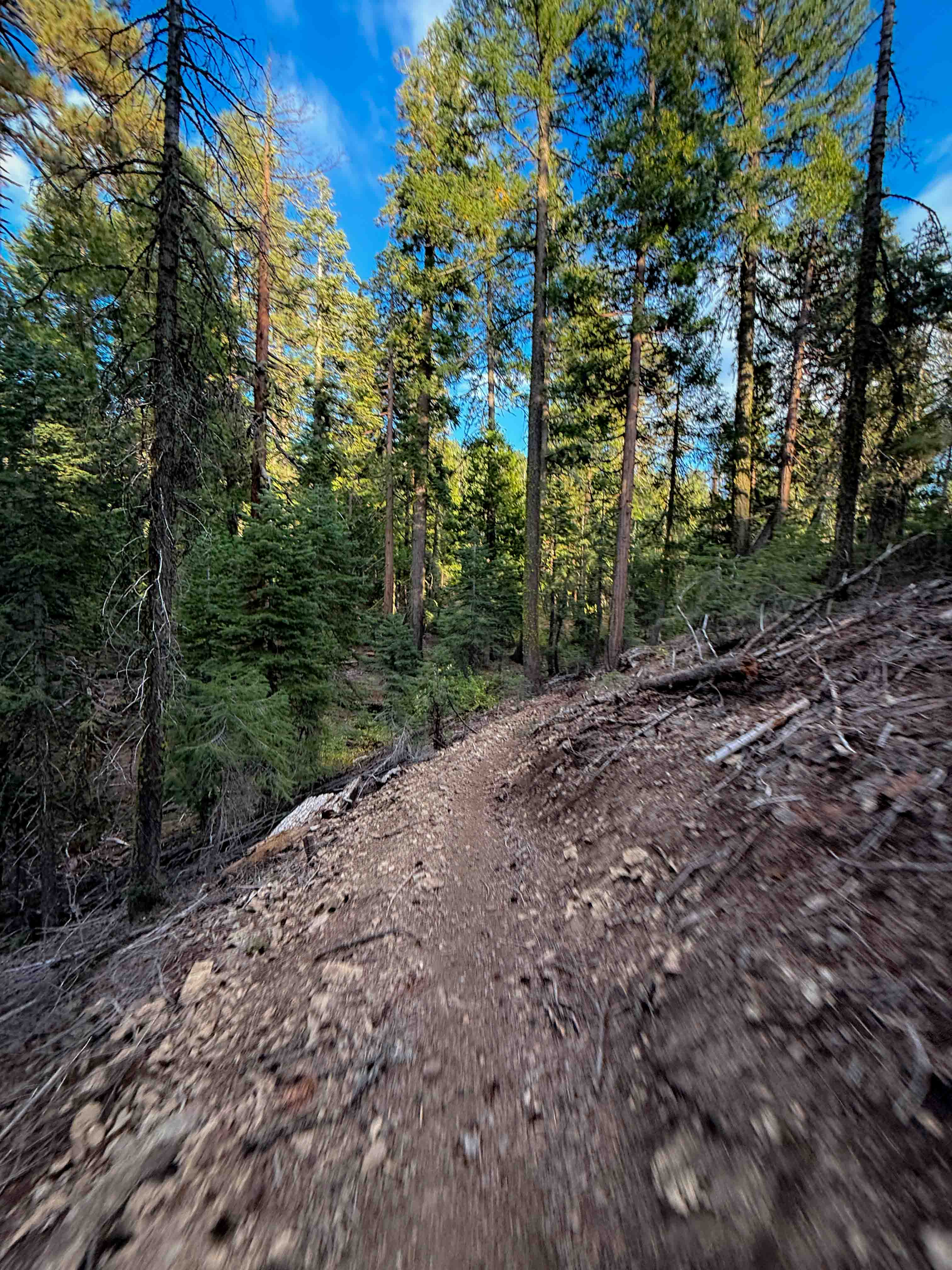
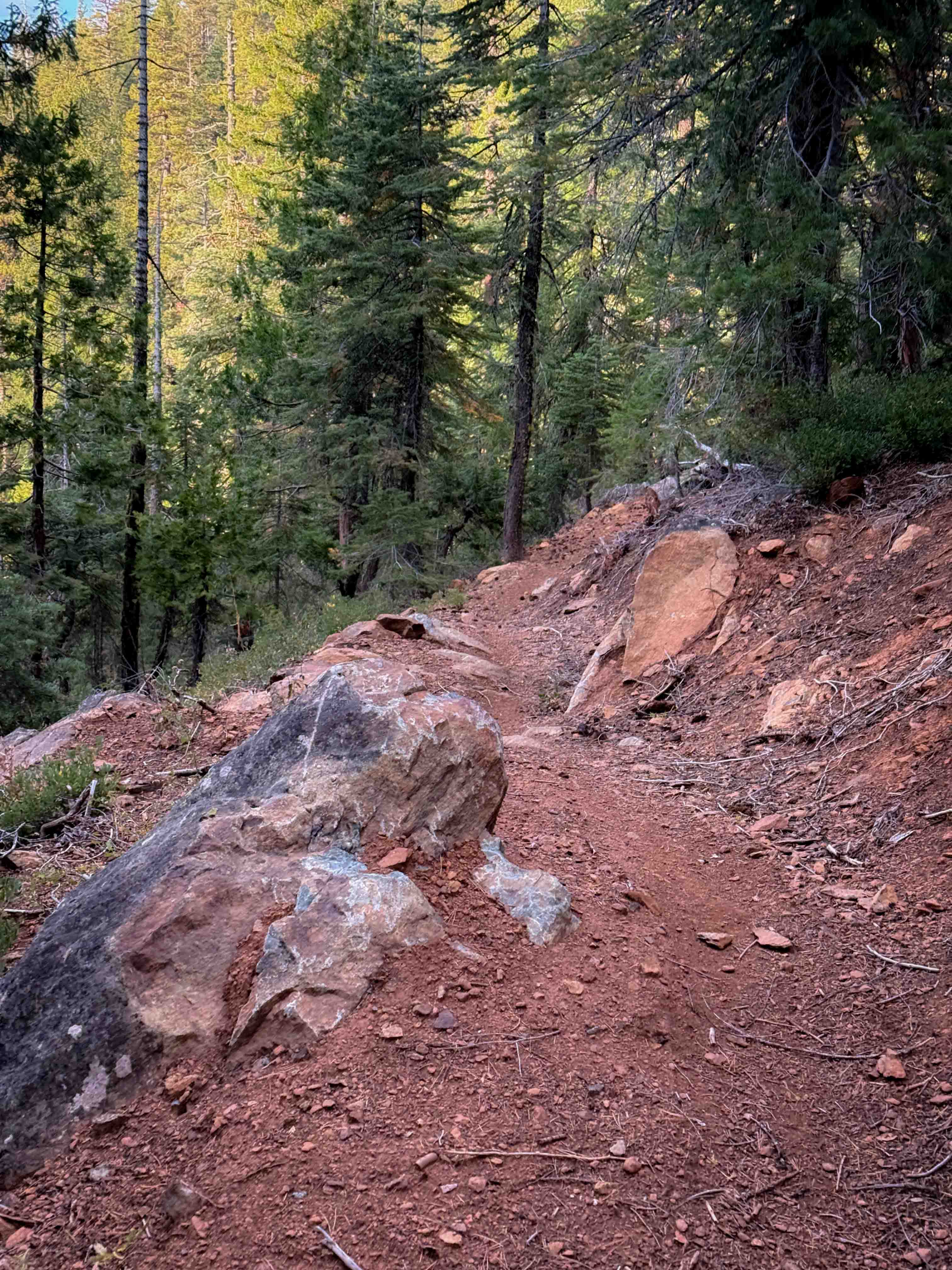
This is a short trail that connects Kings Crossing to the 4x4 road 10M52. It drops down from Kings Crossing with a few really wide and smooth switchbacks. It weaves through the pine trees with some tight turns and a few embedded rock surfaces and boulders lining the trail. The trail is pretty narrow and shelfy for most of the route, and the embedded boulders make it feel tighter in spots. There's some mild exposure throughout the route, a few spots with a heavier layer of loose rock, and small rocky ravine crossings, but a majority of the trail surface is smooth dirt. There is another series of switchbacks as it keeps descending on the north end, having dropped almost 600 feet in 1.7 miles.
Photos of QTC
Difficulty
This trail is overall easy despite several switchbacks and a continuous, narrow, and shelfy path. The switchbacks are wide and smooth and gradual. This trail is ideal for less experienced riders, but they should still be cautious of the mild exposure on the narrow path.
Status Reports
QTC can be accessed by the following ride types:
- Dirt Bike
QTC Map
Popular Trails
Potato Hill - FS 17N12
Horsethief Flats - 3n03A
Rancheria Spur - FS 25S15C
The onX Offroad Difference
onX Offroad combines trail photos, descriptions, difficulty ratings, width restrictions, seasonality, and more in a user-friendly interface. Available on all devices, with offline access and full compatibility with CarPlay and Android Auto. Discover what you’re missing today!