Pumice Valley - FS1N36
Total Miles
3.1
Technical Rating
Best Time
Fall, Summer
Trail Type
Full-Width Road
Accessible By
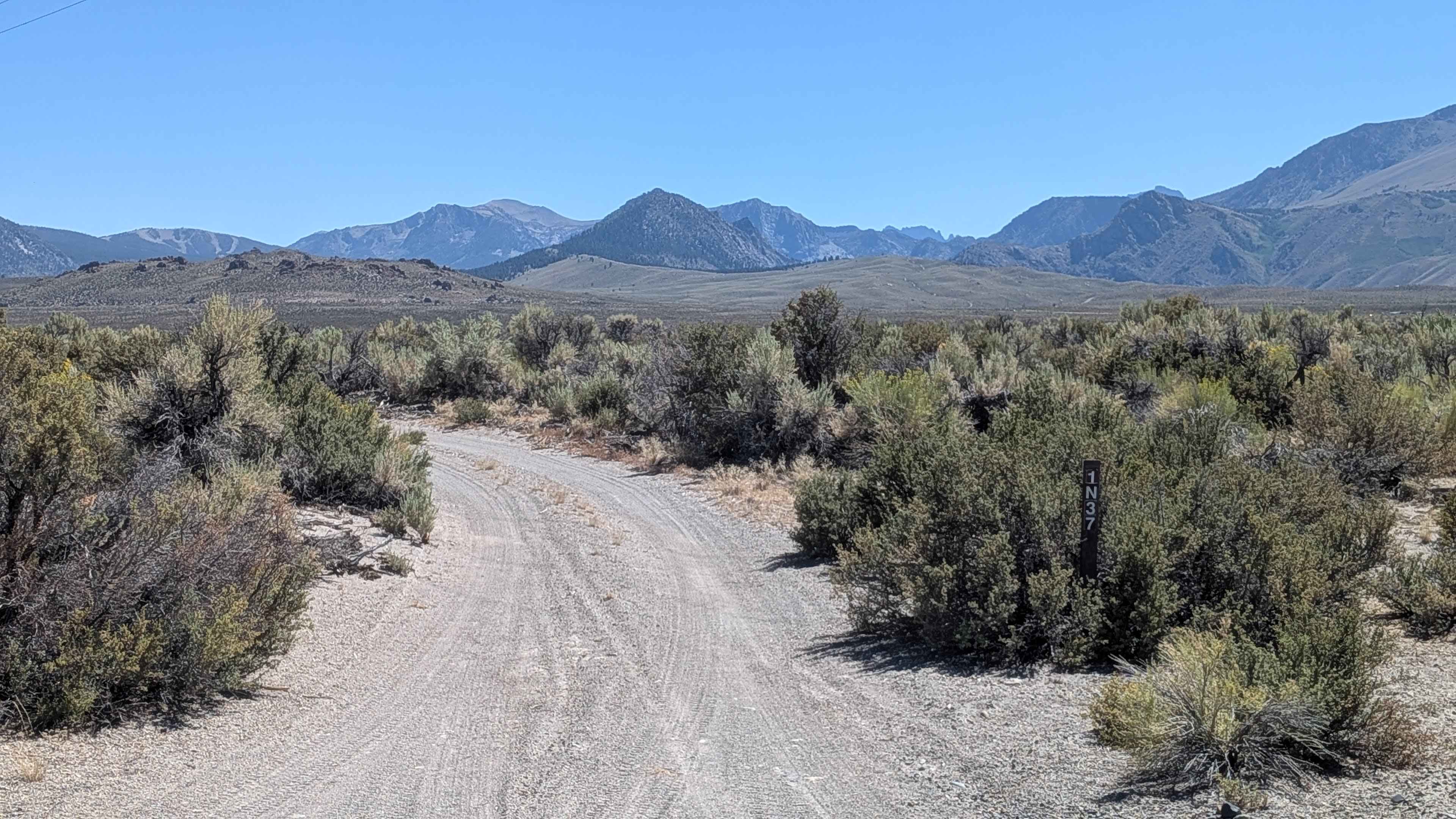
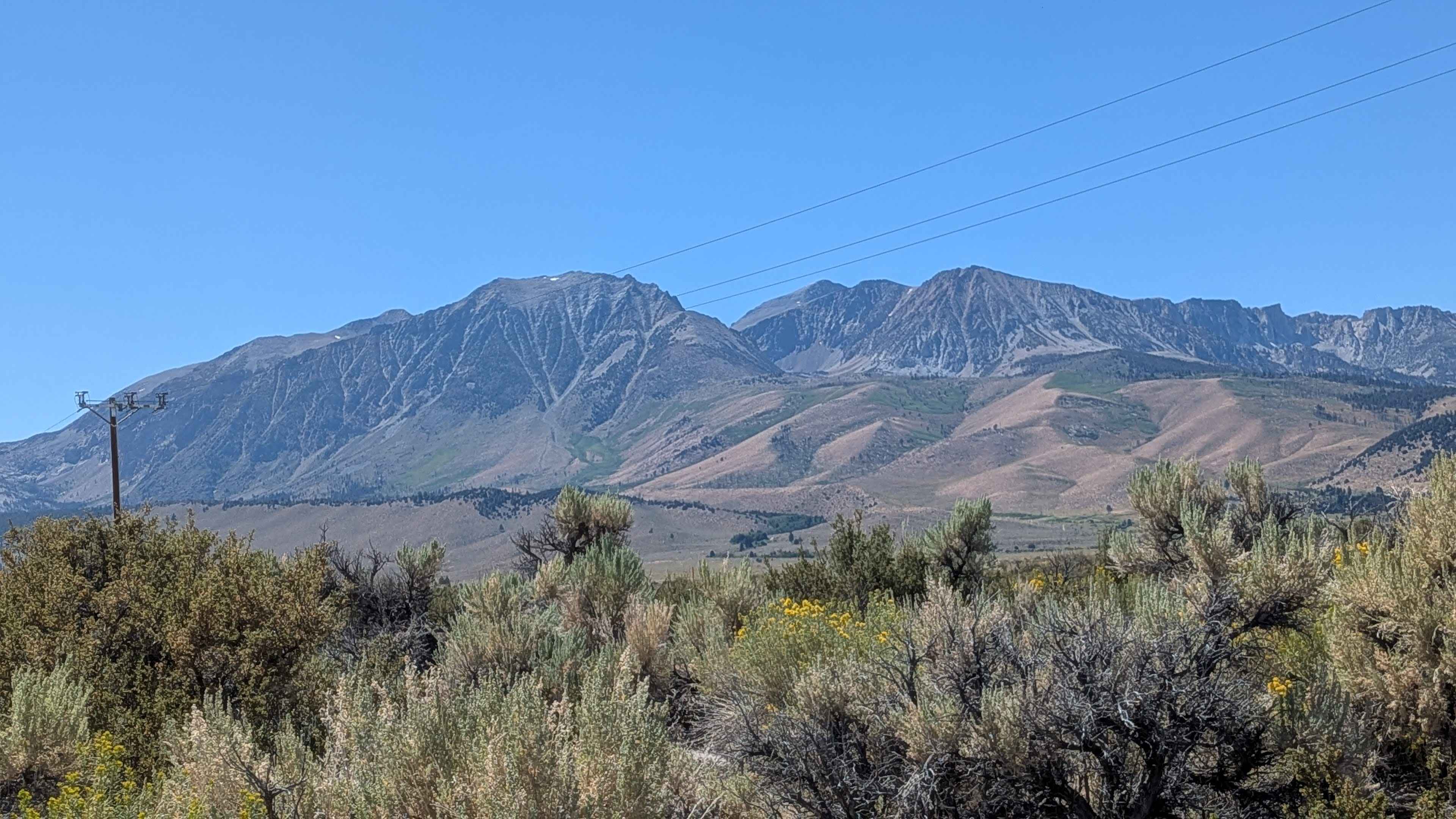
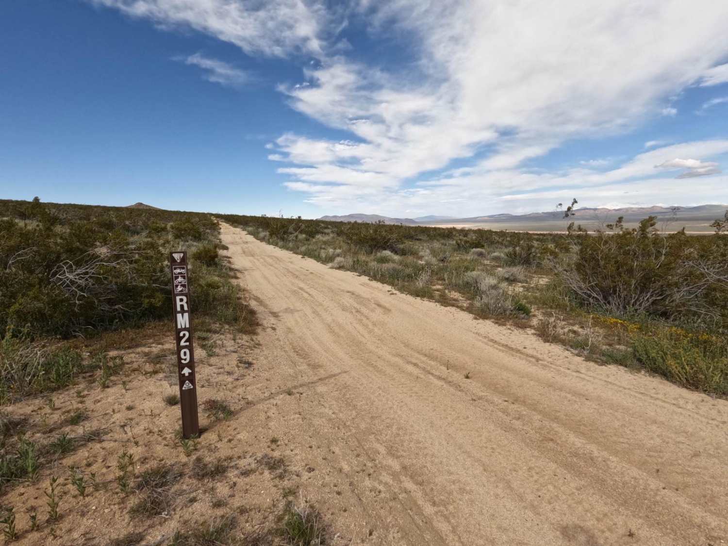
Trail Overview
This route drops around 150 feet in elevation as it heads toward Mono Lake, cutting through the scenic pumice Valley. The sand and pumice trail follows power lines and is surrounded by impressive views of Crater Mountain, the Eastern Sierras, and Mono Lake. As you approach the lake, the trail narrows and overgrown bushes start intruding on the trail width, potentially causing pinstripes on vehicles that venture too close to the vegetation.
Photos of Pumice Valley - FS1N36
Difficulty
This trail earns the easiest difficulty rating with its fairly smooth surface and limited ruts. The trail width varies from 1 to 1.5 vehicles wide, though it narrows near the lake, where overgrown bushes may pose a minor challenge for wider vehicles.
Status Reports
Pumice Valley - FS1N36 can be accessed by the following ride types:
- High-Clearance 4x4
- SUV
- SxS (60")
- ATV (50")
- Dirt Bike
Pumice Valley - FS1N36 Map
Popular Trails
Vista Dome Spur - FS 22E347
Santa Rosa Truck Trail 7S02
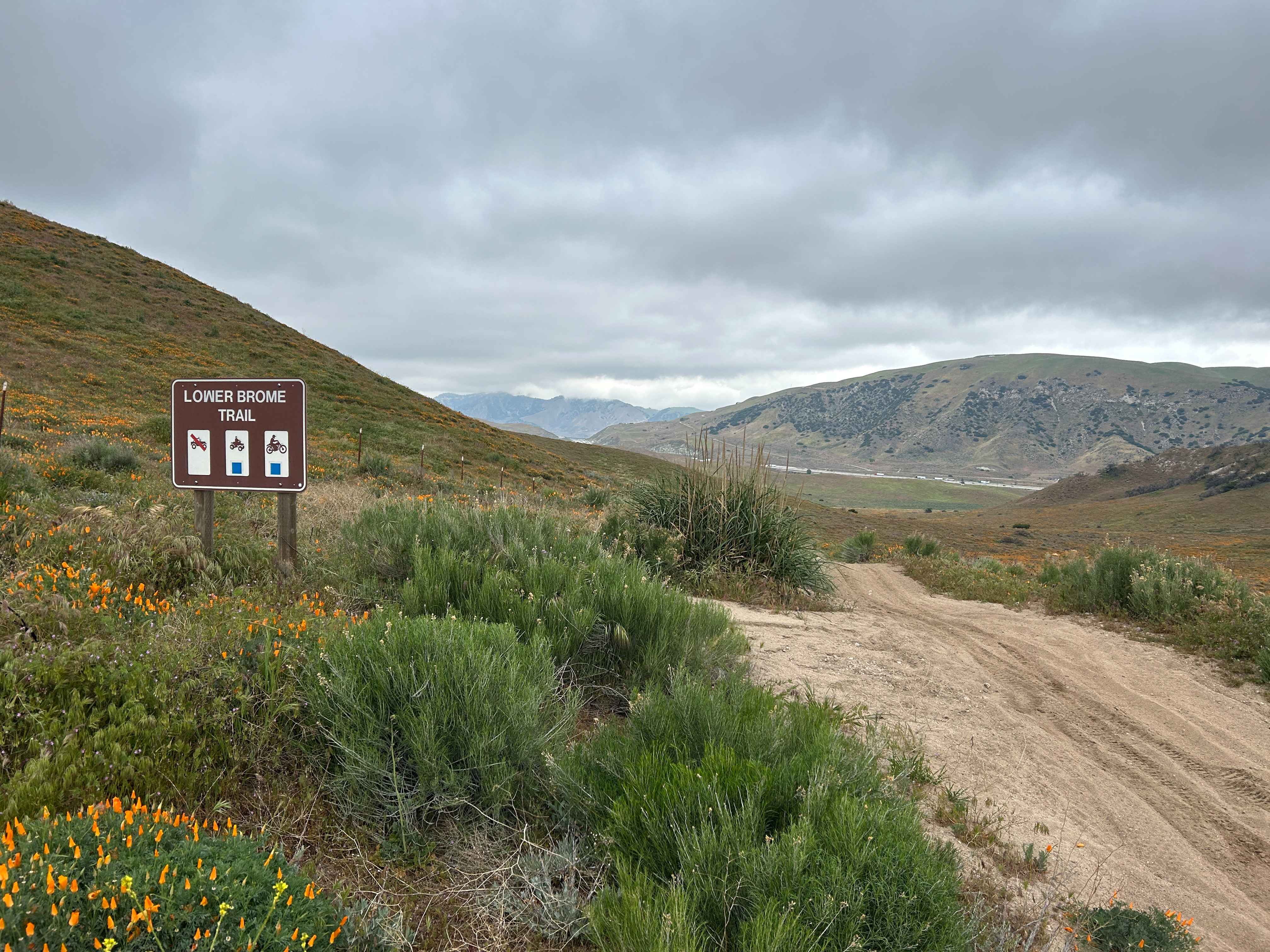
Lower Brome Trail
The onX Offroad Difference
onX Offroad combines trail photos, descriptions, difficulty ratings, width restrictions, seasonality, and more in a user-friendly interface. Available on all devices, with offline access and full compatibility with CarPlay and Android Auto. Discover what you’re missing today!