Grapevine Canyon Road - BLM SE128
Total Miles
2.8
Technical Rating
Best Time
Fall, Summer, Spring
Trail Type
Full-Width Road
Accessible By
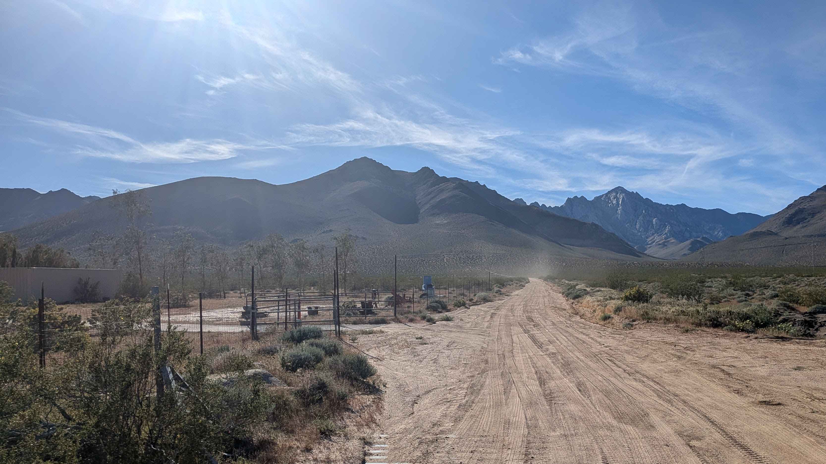
Trail Overview
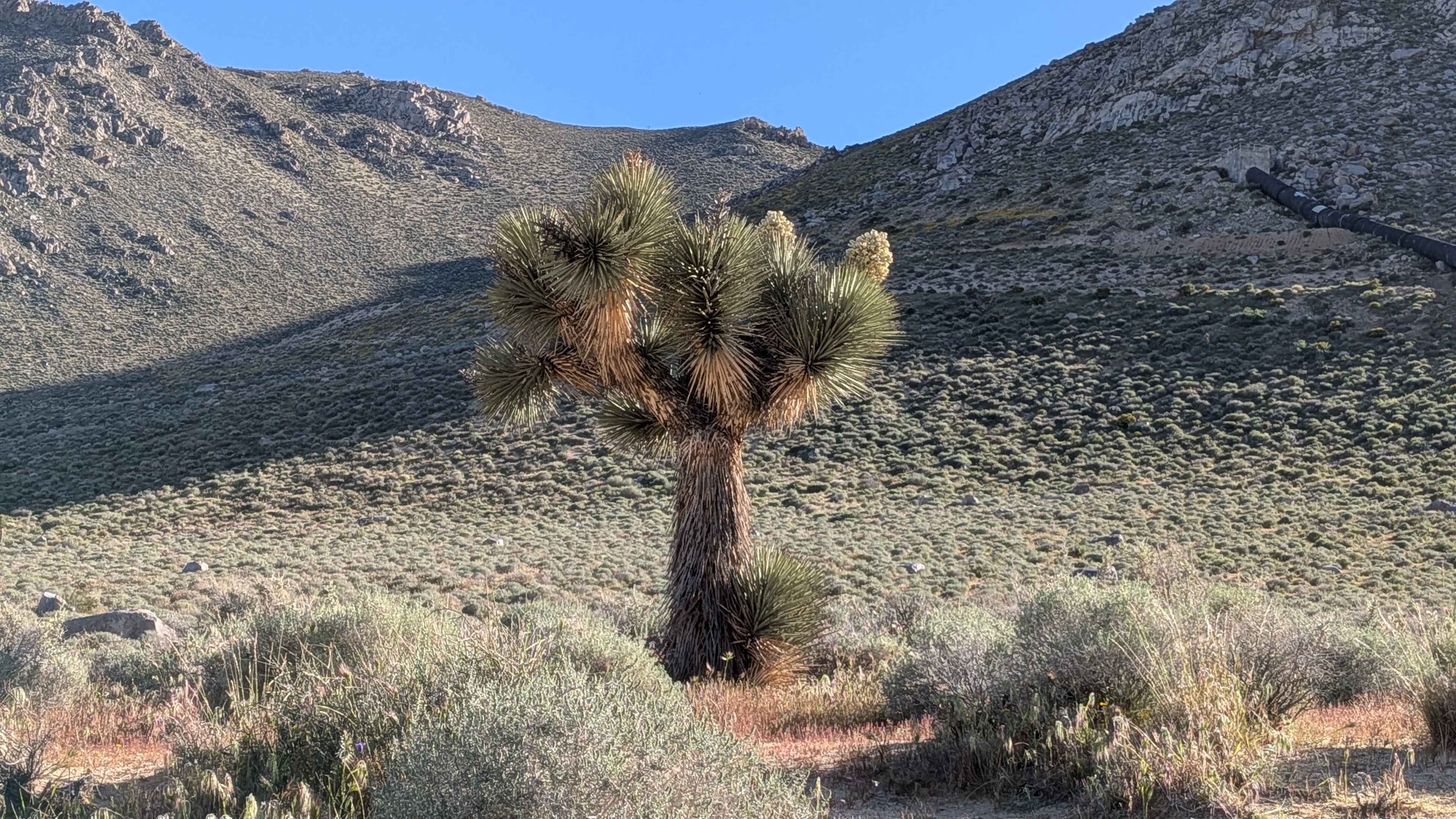
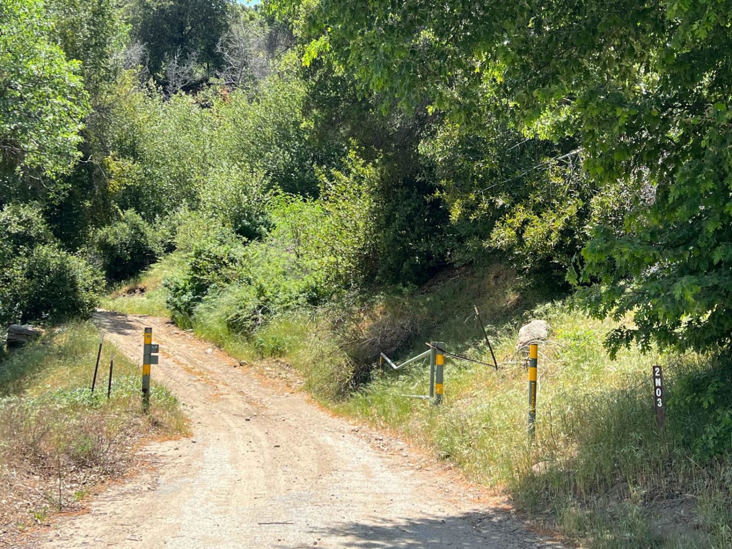
This seasonally graded two-vehicle wide sandy route starts on the feeder road accessible right off Highway 395. Heading west into Grapevine Canyon, the Eastern Sierra Mountains serve as your dramatic backdrop. Whoops and ruts punctuate the sandy surface while runoff ruts appear throughout the trail, creating numerous drainage channels. The trail is lined with diverse desert plants, including creosote bushes, smoke trees, the occasional Joshua tree, and other flora, creating varied vegetation. The journey terminates at a private property gate blocking further access.
Photos of Grapevine Canyon Road - BLM SE128
Difficulty
The seasonal grading helps maintain surface quality when fresh, but conditions degrade between maintenance. Those runoff ruts throughout demand awareness to avoid catching wheels, though they're manageable obstacles. Whoops and ruts add bounce without serious technical difficulty. Sandy surface benefits from airing down. The two-vehicle width provides comfortable passing room. Overall accessible route that any competent vehicle handles, just watch for those numerous runoff channels and respect the private property boundary.
Status Reports
Grapevine Canyon Road - BLM SE128 can be accessed by the following ride types:
- High-Clearance 4x4
- SUV
- SxS (60")
- ATV (50")
- Dirt Bike
Grapevine Canyon Road - BLM SE128 Map
Popular Trails

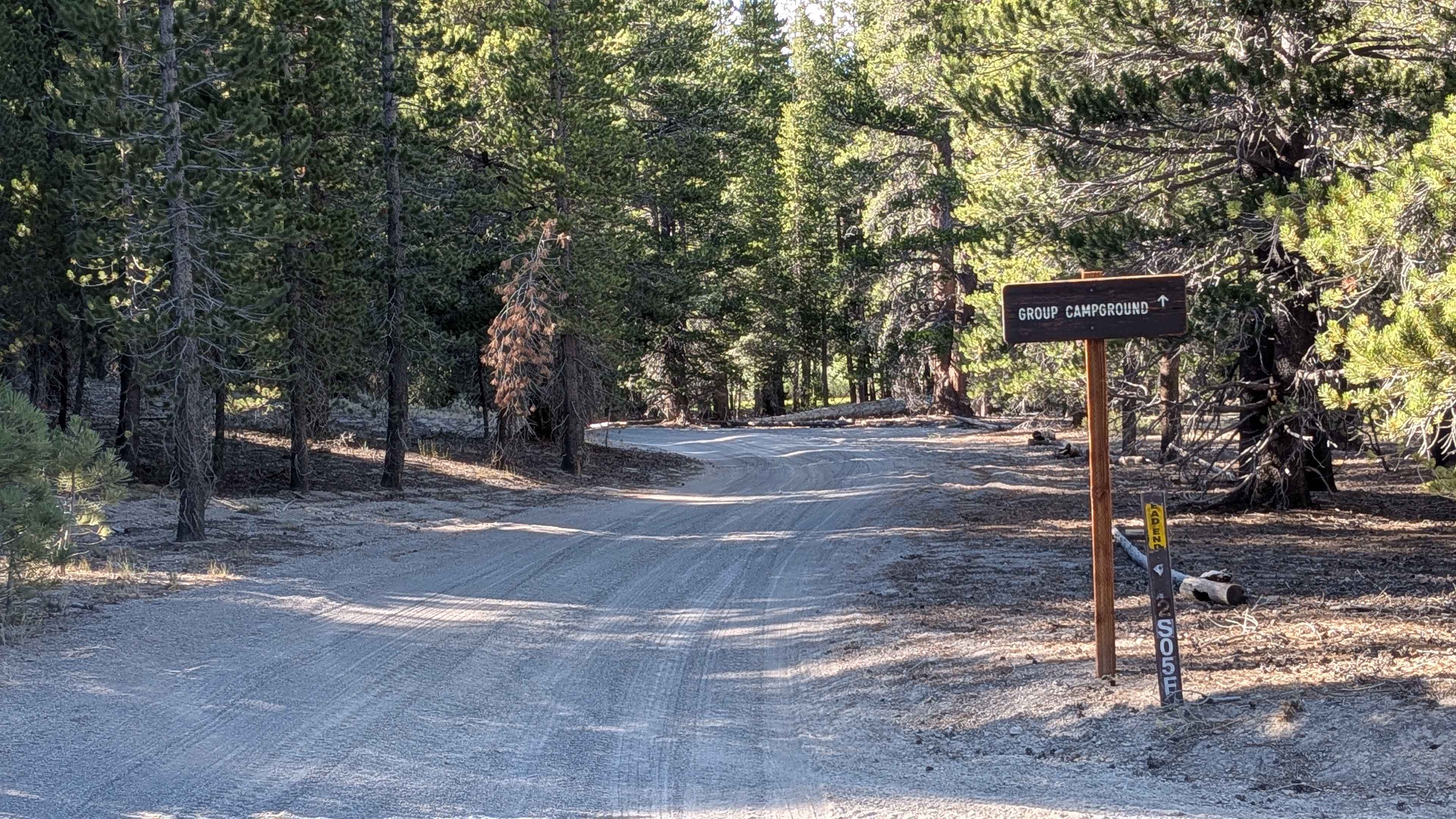
FS 2S05F Obsidian Flat Group Campground
Rock Traverse
The onX Offroad Difference
onX Offroad combines trail photos, descriptions, difficulty ratings, width restrictions, seasonality, and more in a user-friendly interface. Available on all devices, with offline access and full compatibility with CarPlay and Android Auto. Discover what you’re missing today!