FS5N39Y
Total Miles
1.6
Technical Rating
Best Time
Fall, Summer
Trail Type
Full-Width Road
Accessible By
Trail Overview
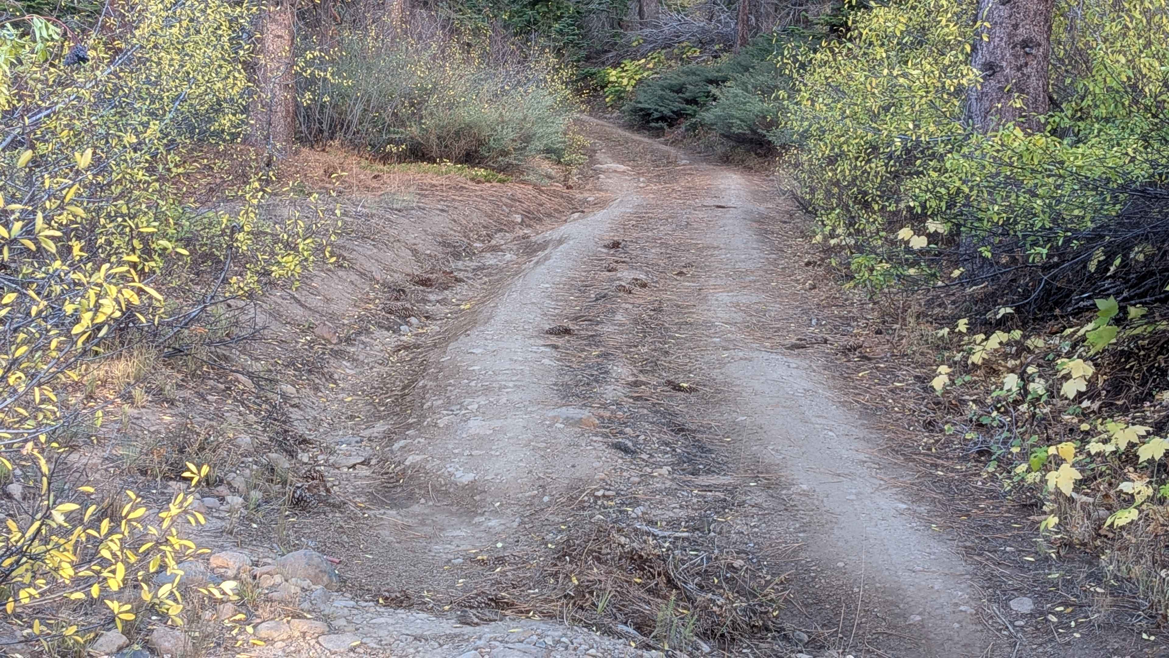
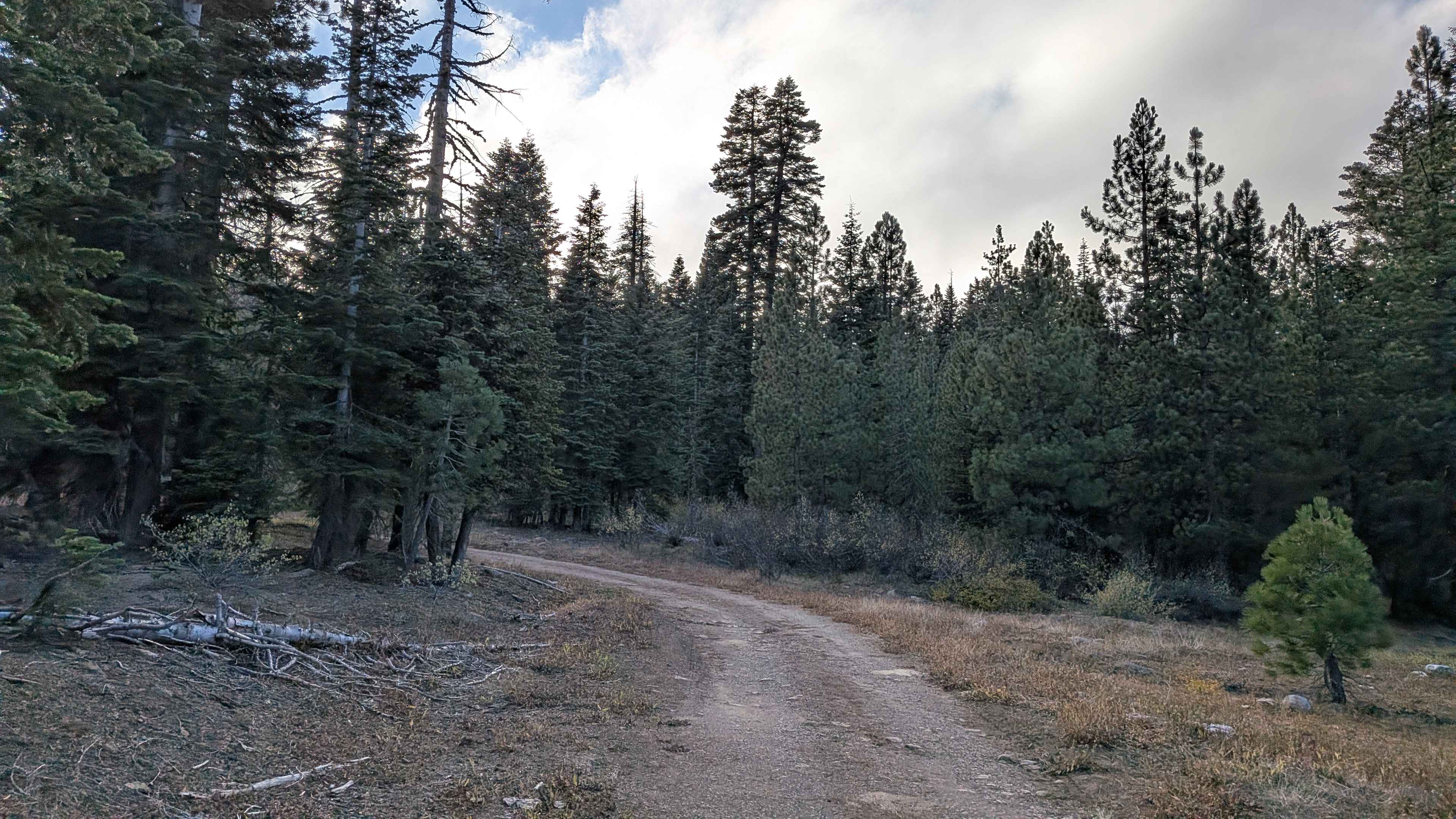
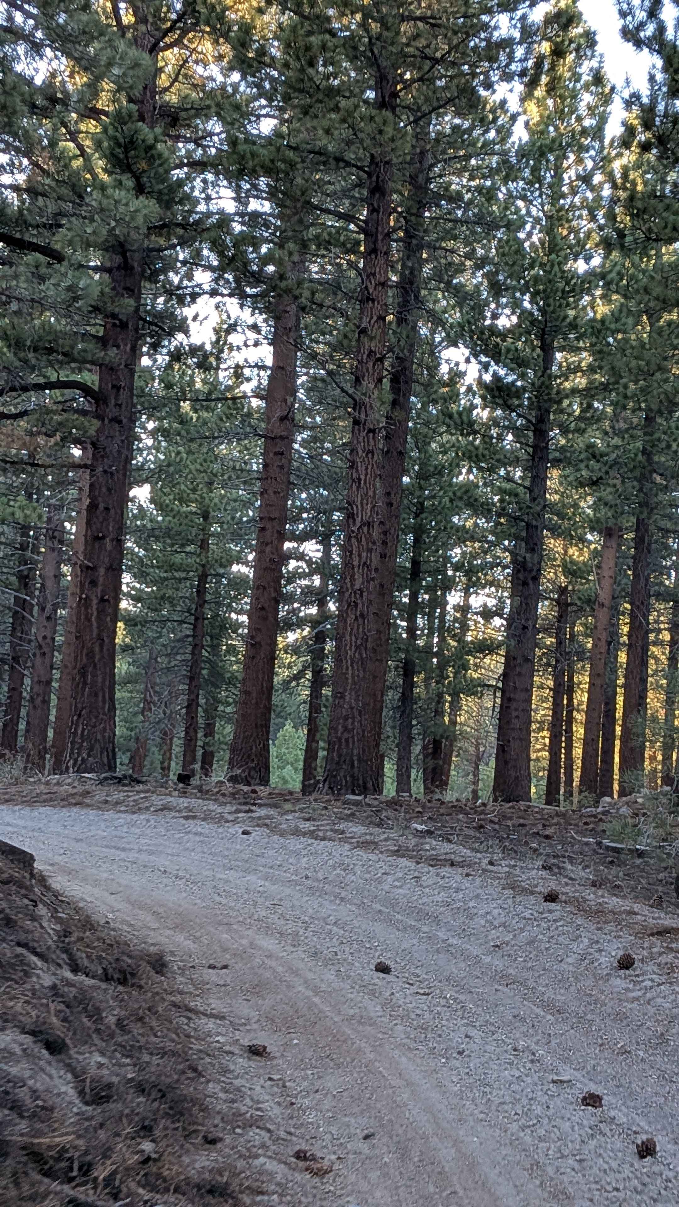
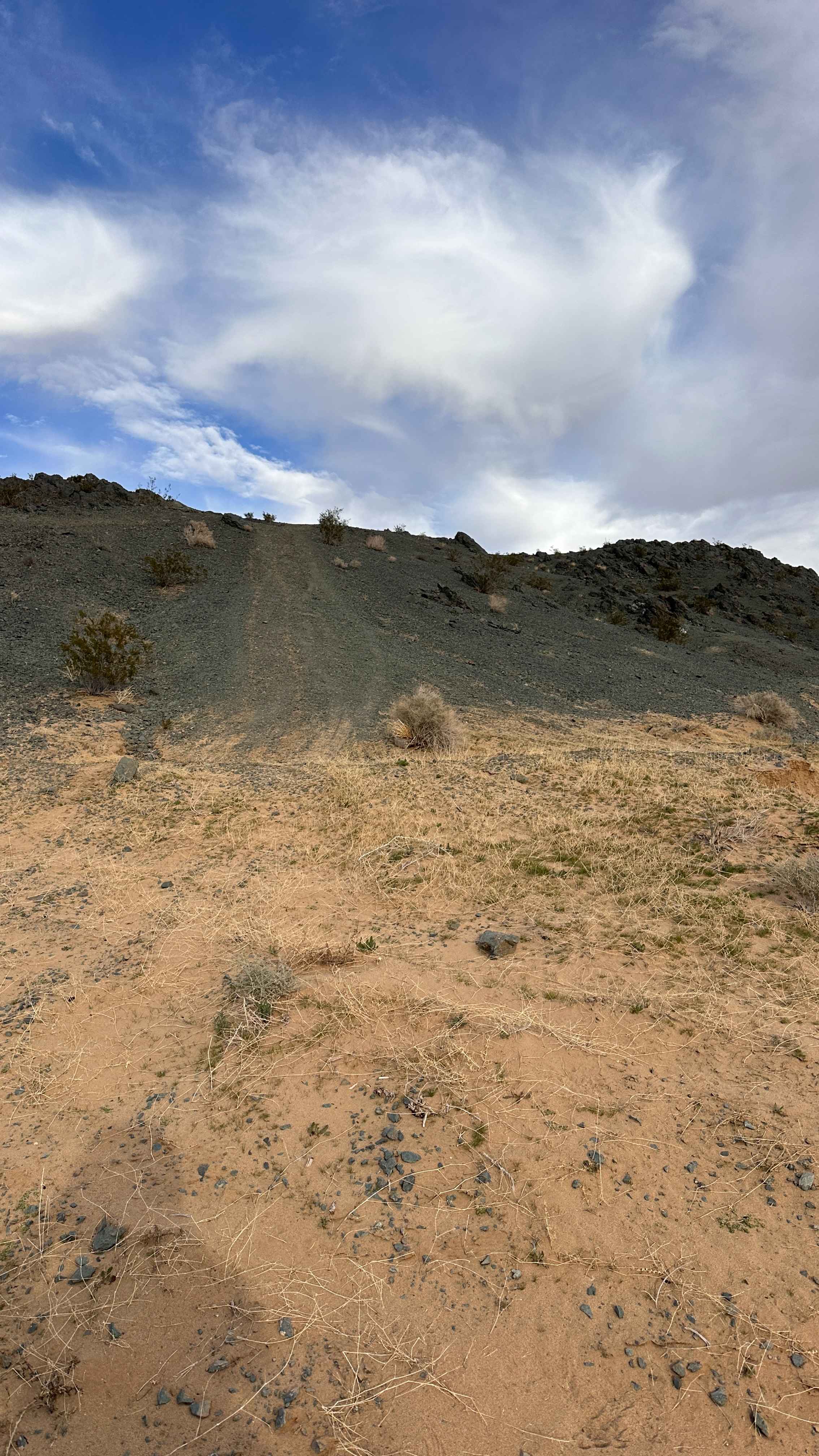
This 3-mile out-and-back trail begins at FS5N30 and climbs over 360 feet in just over 1.6 miles. The trail is a dirt road about one vehicle wide, winding through a dense pine forest lined with brush and other local flora. Overgrown vegetation along the sides may brush against taller or wider vehicles, creating Sonora Pass pinstripes. After rain, mud holes can appear, and the trail surface is rutted in several sections due to water runoff. The steady climb provides a scenic forested setting popular with deer hunters in the fall and includes a few small dispersed camping areas.
Photos of FS5N39Y
Difficulty
Ruts from water runoff, mostly under 12 inches, create uneven terrain, particularly around mile 1. High-clearance vehicles recommended; 4x4 not required when dry.
Status Reports
FS5N39Y can be accessed by the following ride types:
- High-Clearance 4x4
- SUV
- SxS (60")
- ATV (50")
- Dirt Bike
FS5N39Y Map
Popular Trails

Farrington Siphon South
Dry Creek Cutoff FS 32E628-SNO
Walker Creek Road - FS 19S01
Bump & Run
The onX Offroad Difference
onX Offroad combines trail photos, descriptions, difficulty ratings, width restrictions, seasonality, and more in a user-friendly interface. Available on all devices, with offline access and full compatibility with CarPlay and Android Auto. Discover what you’re missing today!