Frog Pond -FS 9s030
Total Miles
3.1
Technical Rating
Best Time
Summer, Fall
Trail Type
Full-Width Road
Accessible By
Trail Overview
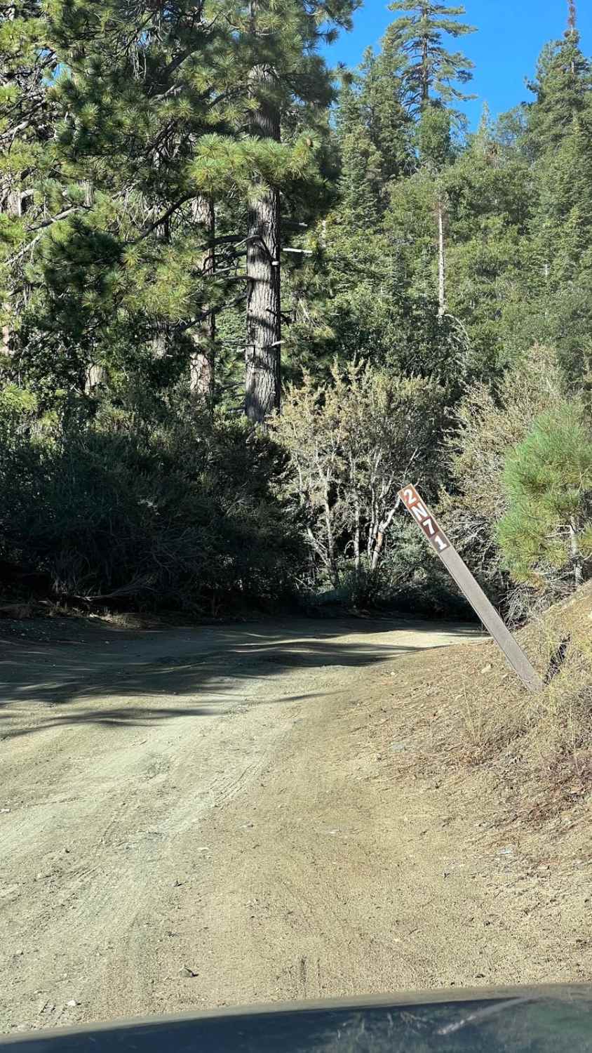
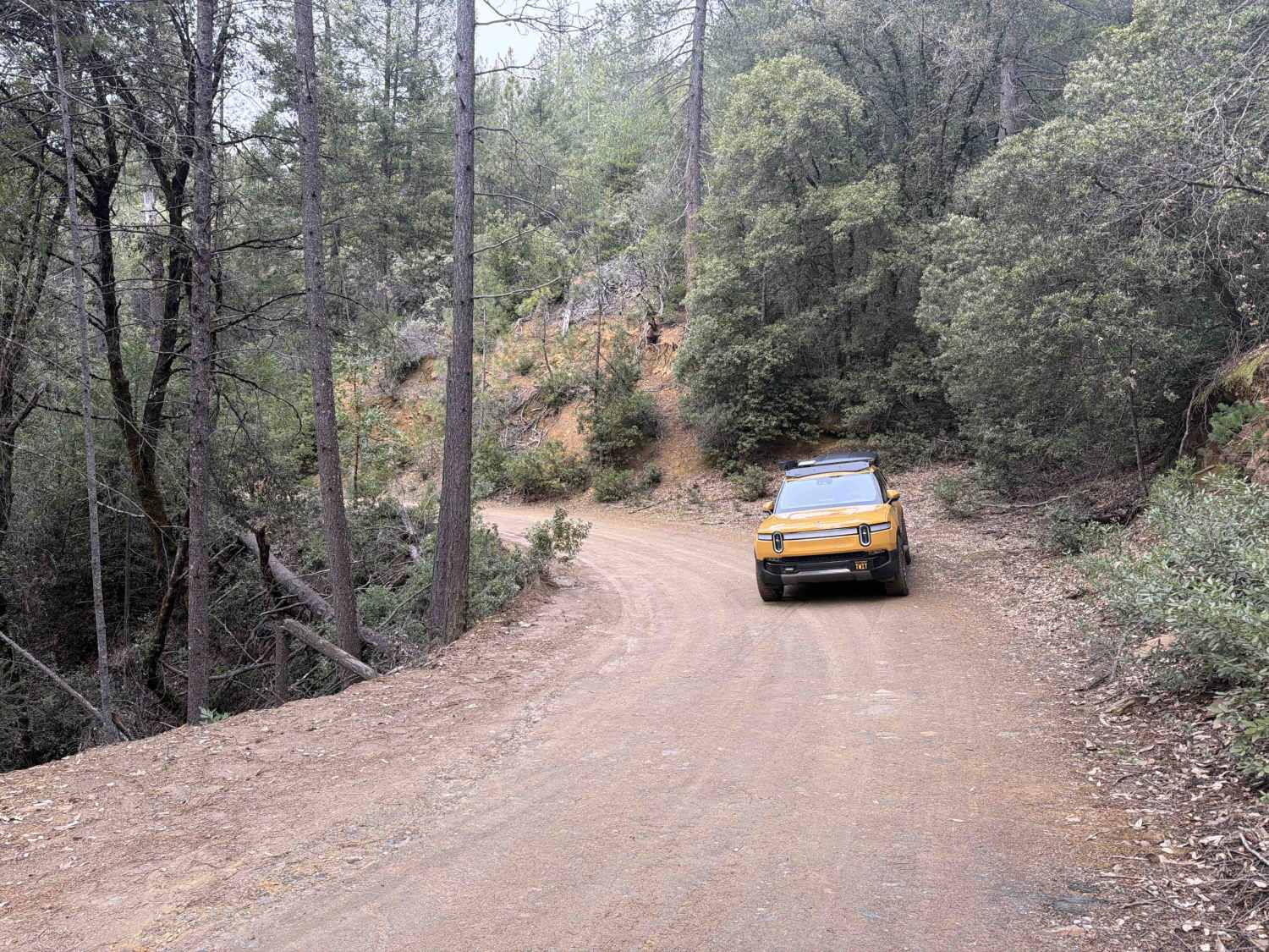
This 3.1-mile road is a dead-end spur. The trail is a clear one-lane track with a smooth, packed dirt and decomposed granite (DG) surface, allowing for quick speeds, confirmed by the efficient travel time. While this area was impacted by the 2020 Creek Wildfire, it avoided the highest severity, leaving behind a crucial patchwork of healthy canopy and reduced snag hazard compared to neighboring routes. The trail is mostly smooth, but travelers should be aware of occasional ruts and embedded rock. The route has a gentle, rolling terrain. It reaches ~8,500 feet in elevation, so Summer and Fall are the best times to visit.
Photos of Frog Pond -FS 9s030


Difficulty
This road is suitable for all passenger vehicles when dry, requiring no 4X4 engagement for transit. The R2 rating is assigned due to the occasional ruts and embedded rock that necessitate high clearance for sustained comfort and to prevent jarring impacts during fast travel. Overall, this is a smooth, low-stress road.
Status Reports
Frog Pond -FS 9s030 can be accessed by the following ride types:
- High-Clearance 4x4
- SUV
Frog Pond -FS 9s030 Map
Popular Trails
Blue Quartz 2N71
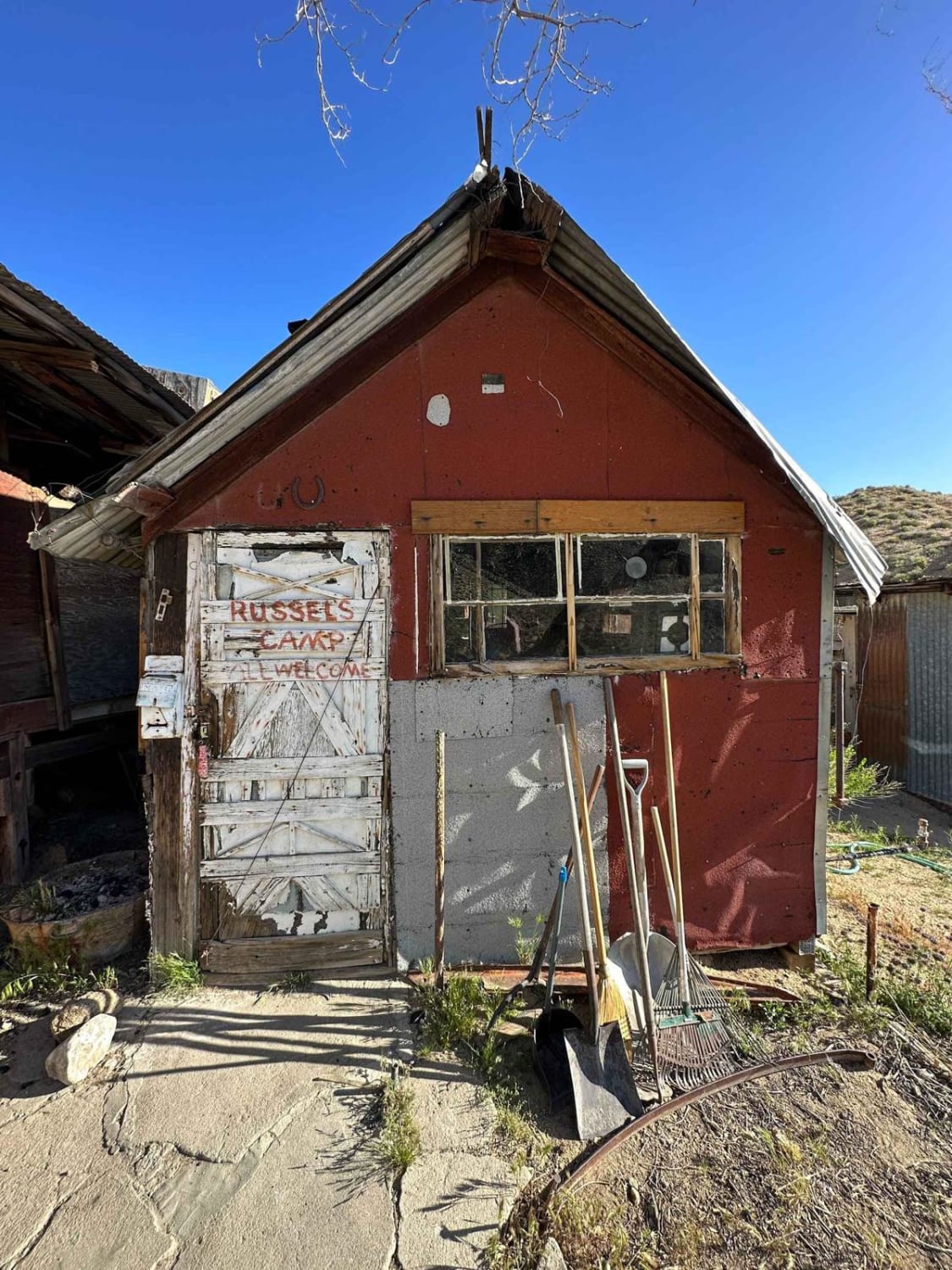
Russel Camp
Upper Holcomb Creek Road - 3N08
The onX Offroad Difference
onX Offroad combines trail photos, descriptions, difficulty ratings, width restrictions, seasonality, and more in a user-friendly interface. Available on all devices, with offline access and full compatibility with CarPlay and Android Auto. Discover what you’re missing today!