Hunt for Old Foundation
Total Miles
4.3
Technical Rating
Best Time
Spring, Summer, Fall, Winter
Trail Type
Full-Width Road
Accessible By
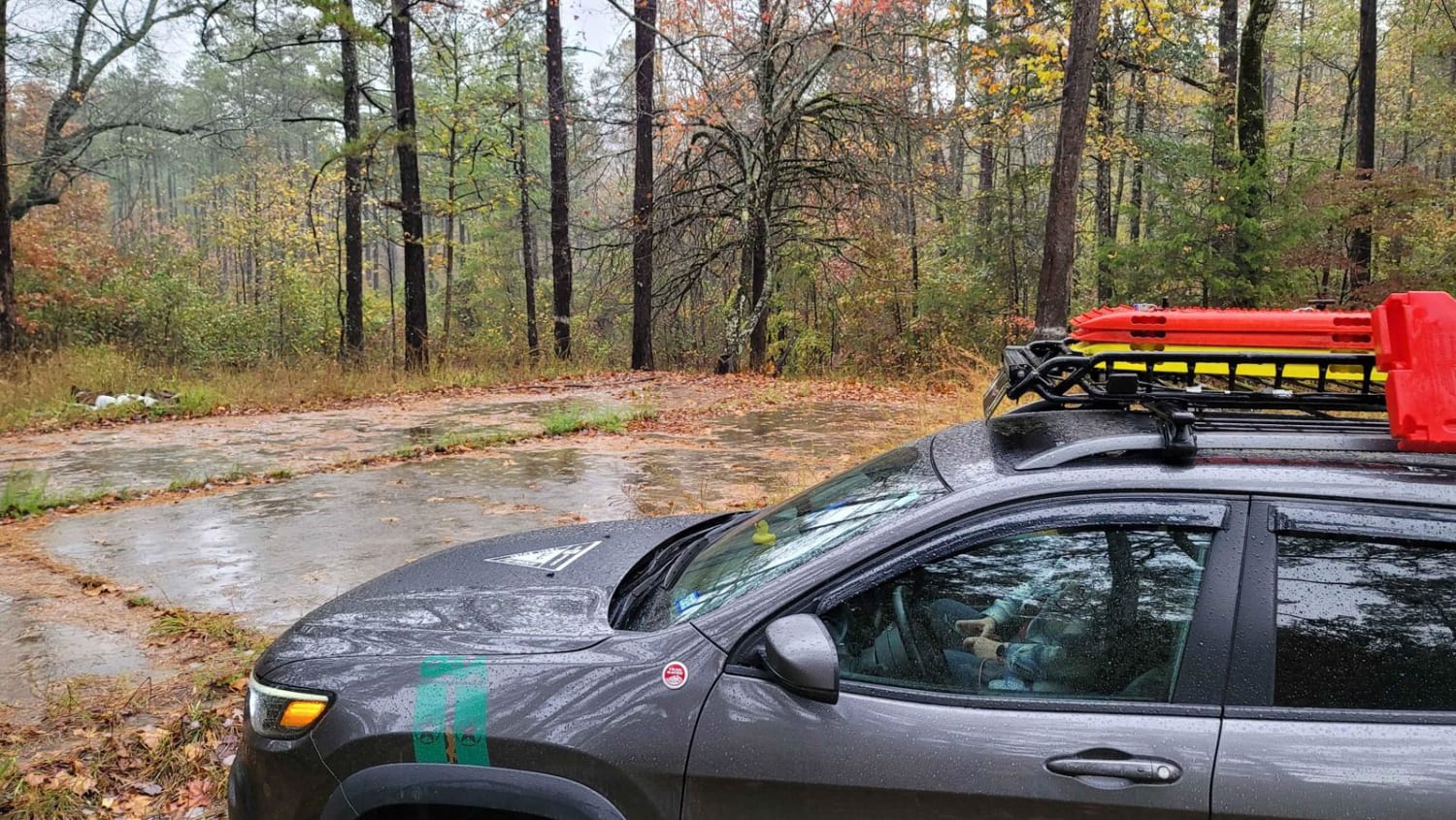
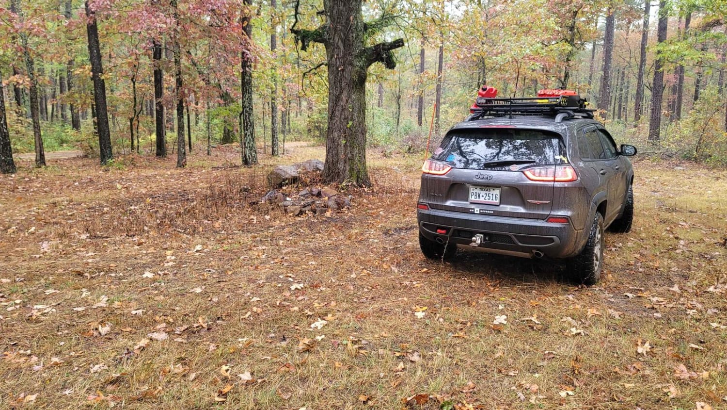
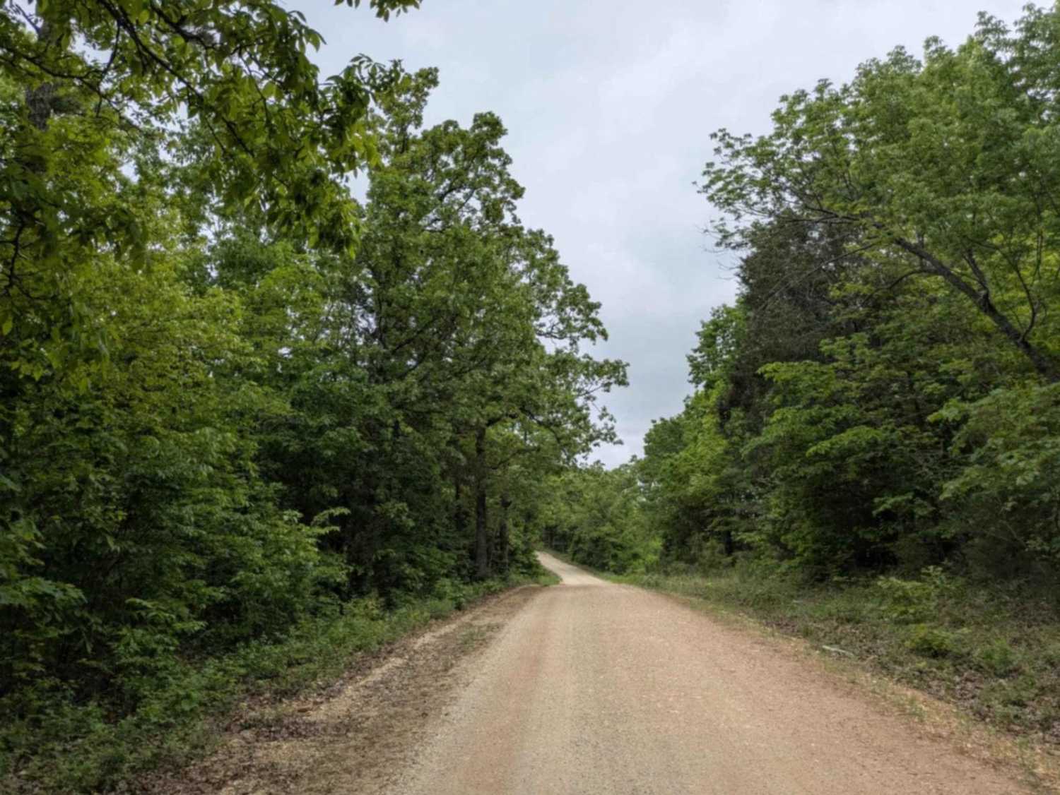
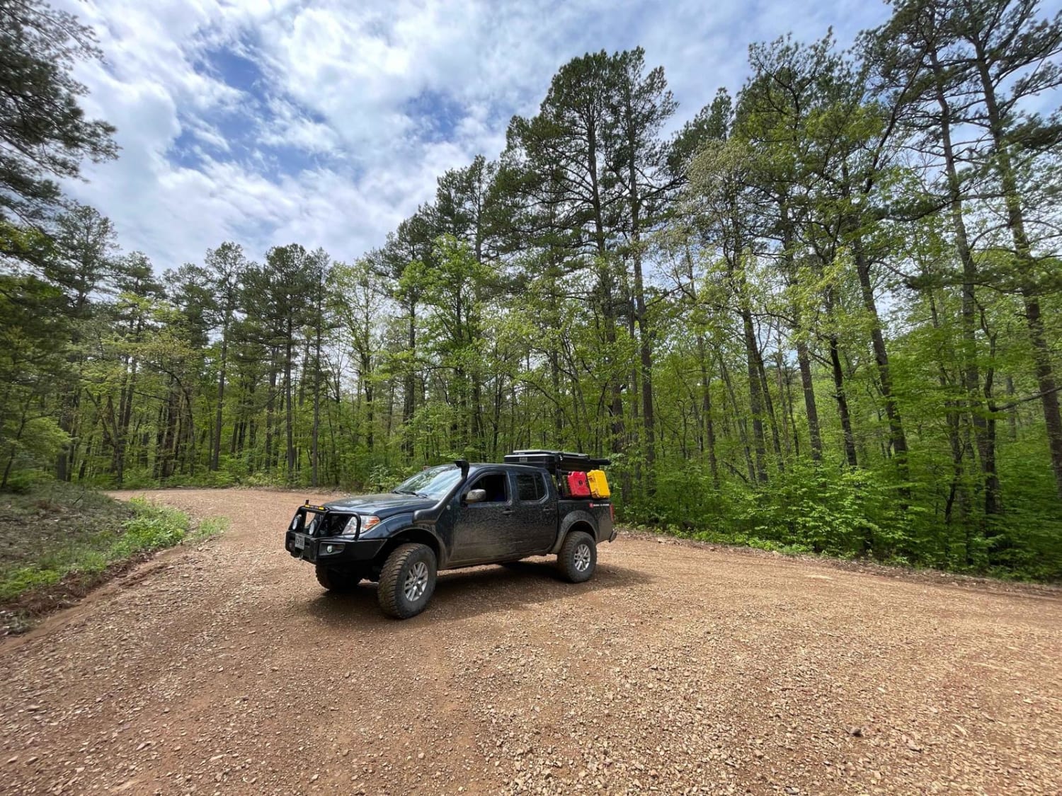
Trail Overview
This trail is a nice gravel road that can be messy when wet. This trail starts at a very nice dispersed campsite and heads east. The trail ends at a fork in the road. You will pass an old foundation on the right-hand side that is used for a dispersed campsite. The history of this site would be interesting to know but I did not find anything about it. Enjoy exploring this spot and imagining what could have been here. There is much beauty to see along the trail.
Photos of Hunt for Old Foundation
Difficulty
Maintained gravel road that is messy when wet
Hunt for Old Foundation can be accessed by the following ride types:
- High-Clearance 4x4
- SUV
- SxS (60")
- Dirt Bike
Hunt for Old Foundation Map
Popular Trails
Spainhour Falls 1422A
The Arkansas Overland Route - Section 3 - Road 113 to Highway 76
Hayden Road
Radio Tower Road (178A)
The onX Offroad Difference
onX Offroad combines trail photos, descriptions, difficulty ratings, width restrictions, seasonality, and more in a user-friendly interface. Available on all devices, with offline access and full compatibility with CarPlay and Android Auto. Discover what you’re missing today!