Freeman Road
Total Miles
4.5
Technical Rating
Best Time
Spring, Summer, Fall, Winter
Trail Type
High-Clearance 4x4 Trail
Accessible By
Trail Overview
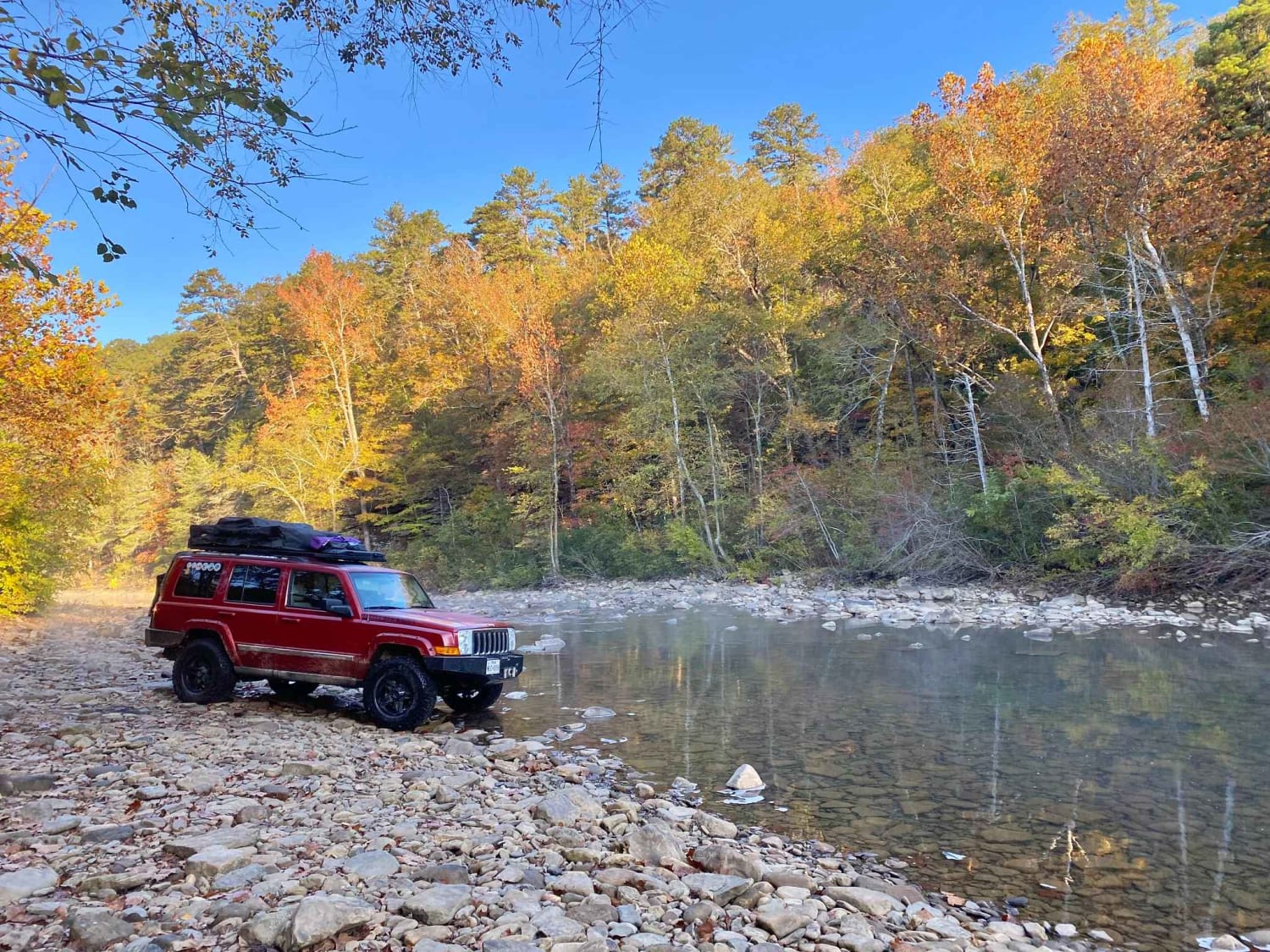
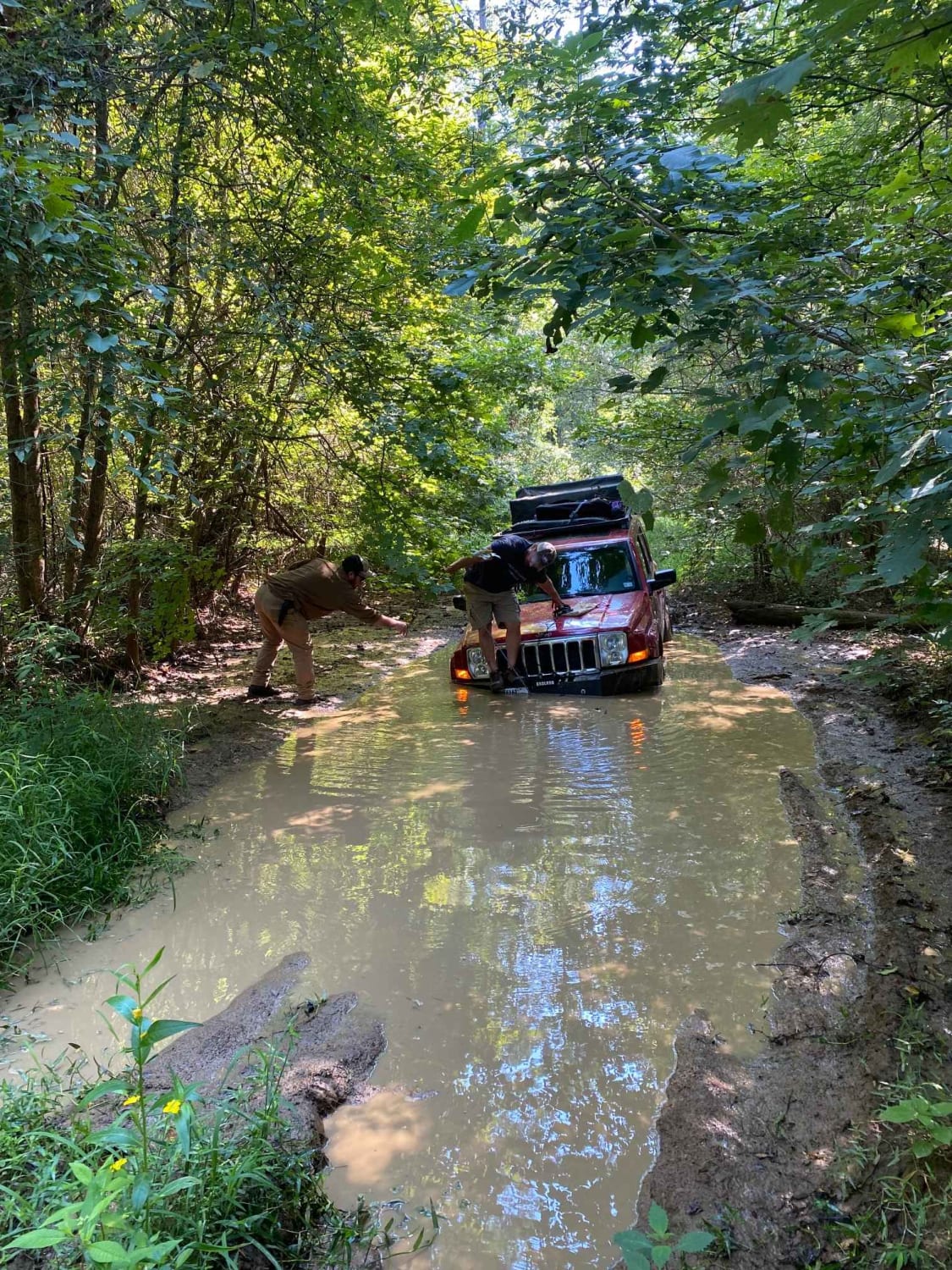
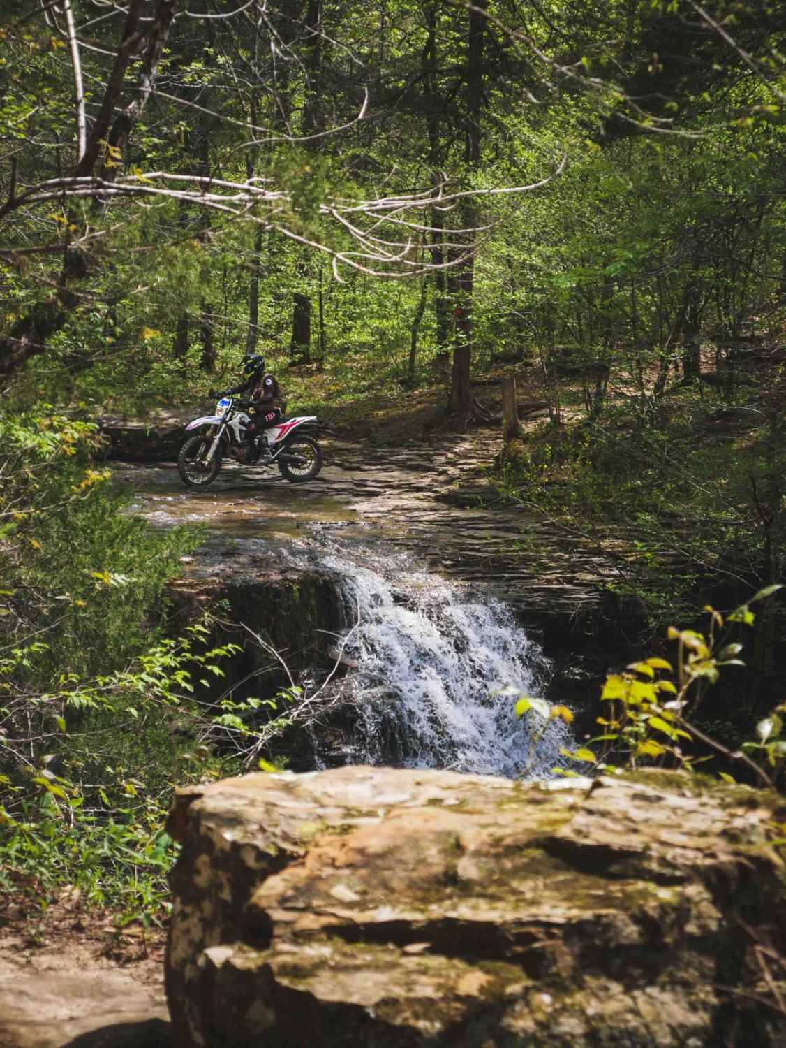
Freeman Road follows the North Fork of the Illinois Bayou, and includes 3 water crossings, mud holes, rock scramblings, multiple campsites, and a Civil War Era cemetery. This route is a good starting point for the Illinois Bayou Granite Luge. During the fall season, the photo opportunities cannot be matched. During summer the Bayou offers great swimming opportunities to cool off.
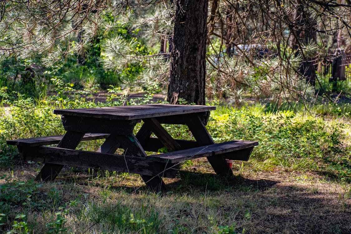
Photos of Freeman Road
Difficulty
Mud holes and water crossings can be deep after heavy rains, most mud holes have bypasses. Some parts of the water crossings have large submerged boulders that are sometimes easy to get stuck on.
Status Reports
Freeman Road can be accessed by the following ride types:
- High-Clearance 4x4
- SxS (60")
- ATV (50")
- Dirt Bike
Freeman Road Map
Popular Trails
Stave Mill Falls

Rock Steps Falls
Poison Springs WMA - Campsite C-10 to C-29 and C-54
Double Tree Picnic Trail
The onX Offroad Difference
onX Offroad combines trail photos, descriptions, difficulty ratings, width restrictions, seasonality, and more in a user-friendly interface. Available on all devices, with offline access and full compatibility with CarPlay and Android Auto. Discover what you’re missing today!