Allen's Ferry Road
Total Miles
2.4
Technical Rating
Best Time
Spring, Summer, Fall, Winter
Trail Type
Full-Width Road
Accessible By
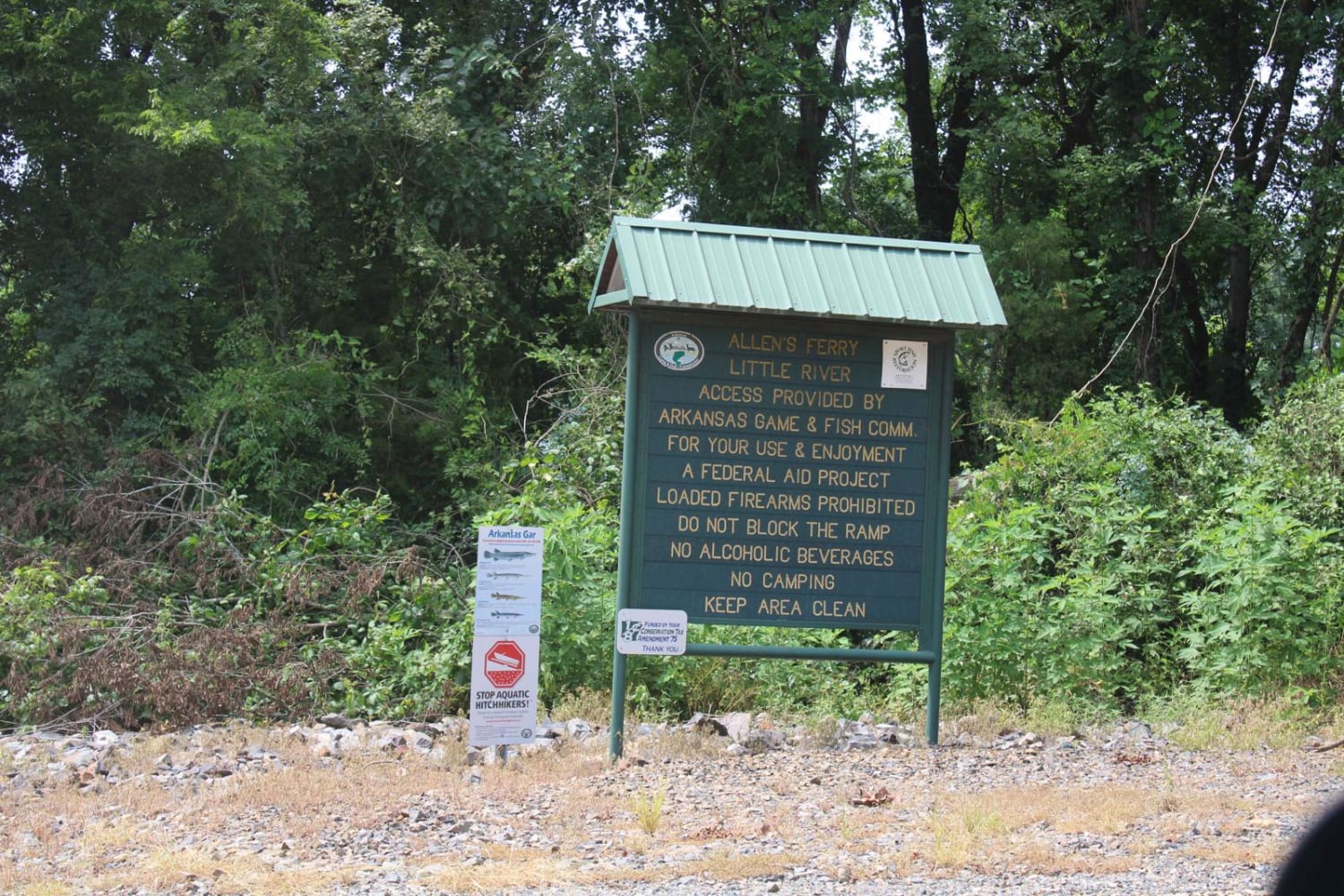
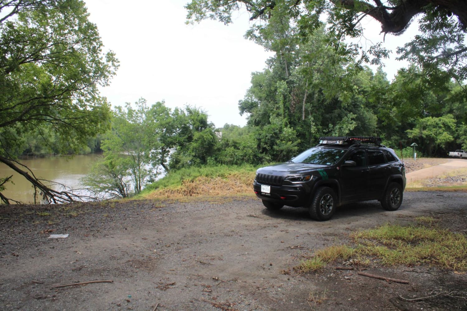
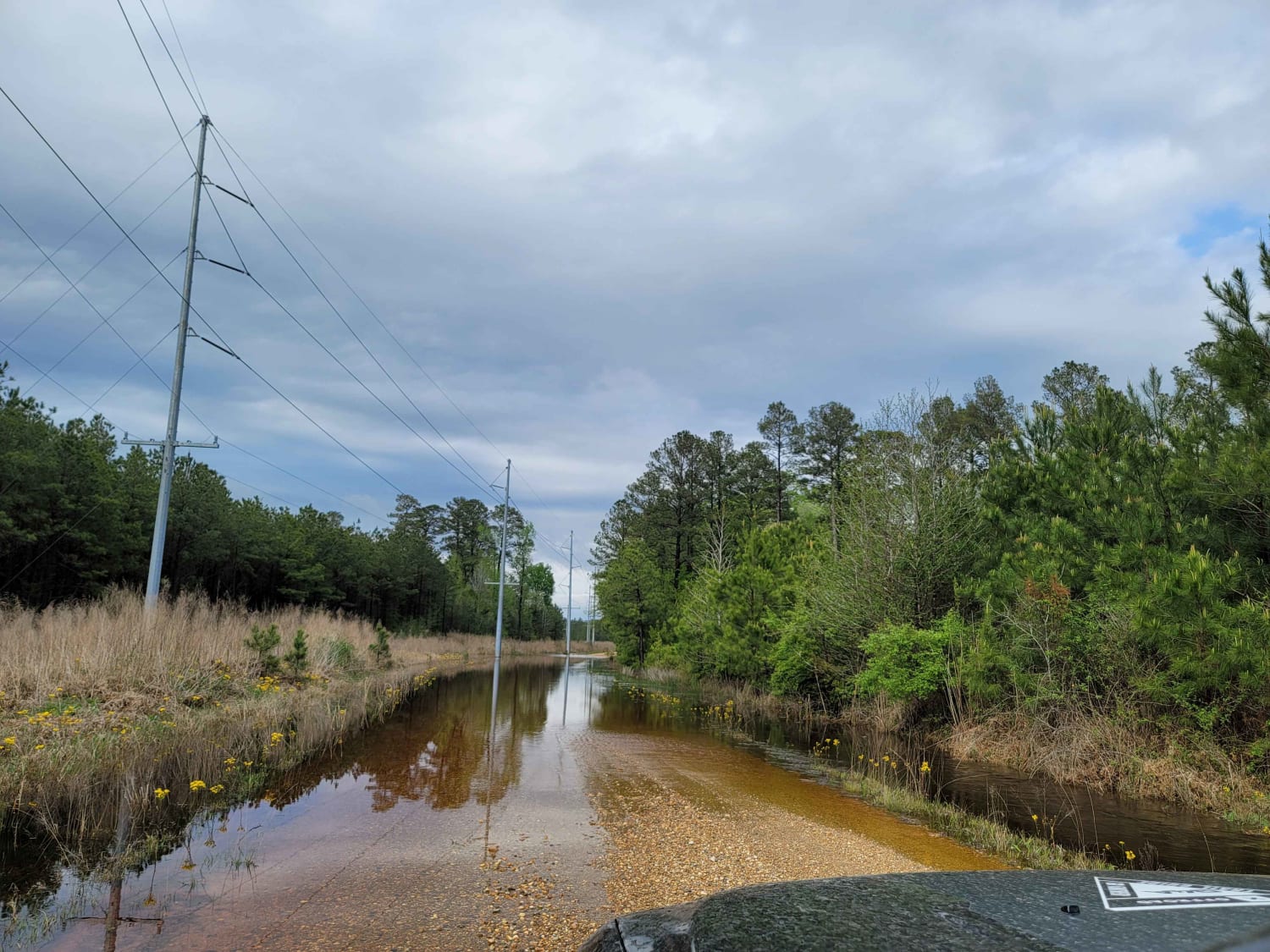
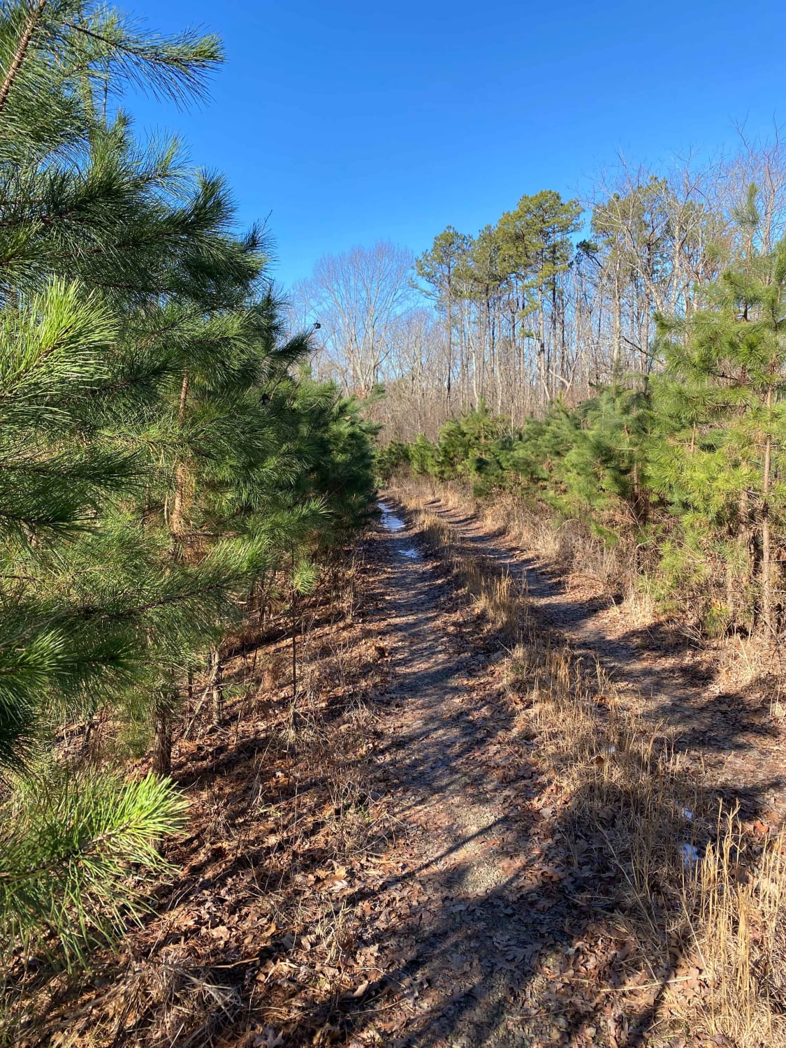
Trail Overview
This loose gravel road ends at the Little River. There is a boat ramp and dispersed camping on the riverside. Not far out of the small town of Fulton, Arkansas, this road provides beautiful views of the river, pasture, and plenty of livestock. This used to be a ferry site for Allen's Ferry. The Red River is a west-to-east stream that flows past Fulton and meets the Little River. This became a shipping point on the Red River. Ferries, one over the Little River and one over Fulton, were chartered. Fulton thrived during this time and could boast of shipping the most tonnage along the Red River. By the turn of the 20th century, Fulton's shipping business changed from steamships to railroad and then to roads. US 67 came through in the early 1920s. On the north side of the gravel road, two headstones are hiding in the weeds behind a barbed wire fence. There is a lot of history here.
Photos of Allen's Ferry Road
Difficulty
You will encounter a loose gravel road with some potholes. It can be muddy in places when wet, very dusty while dry.
Status Reports
Allen's Ferry Road can be accessed by the following ride types:
- High-Clearance 4x4
- SUV
Allen's Ferry Road Map
Popular Trails

The Arkansas Overland Route - Section 12 - Dead End but Fresh Beginning

Koa Trail
Middle Fork Illinois Bayou
The onX Offroad Difference
onX Offroad combines trail photos, descriptions, difficulty ratings, width restrictions, seasonality, and more in a user-friendly interface. Available on all devices, with offline access and full compatibility with CarPlay and Android Auto. Discover what you’re missing today!