Sunflower Mine
Total Miles
14.1
Technical Rating
Best Time
Summer, Fall
Trail Type
High-Clearance 4x4 Trail
Accessible By
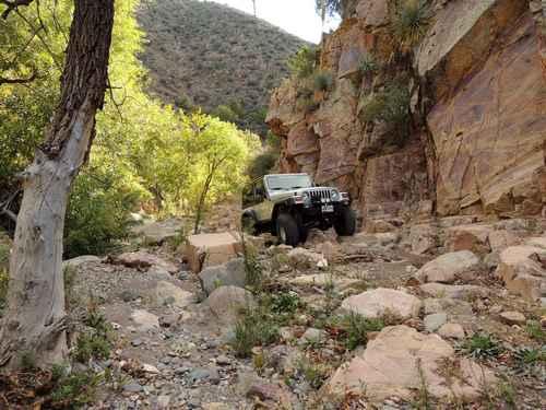
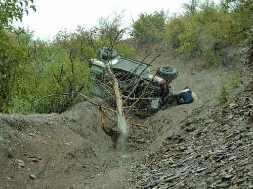
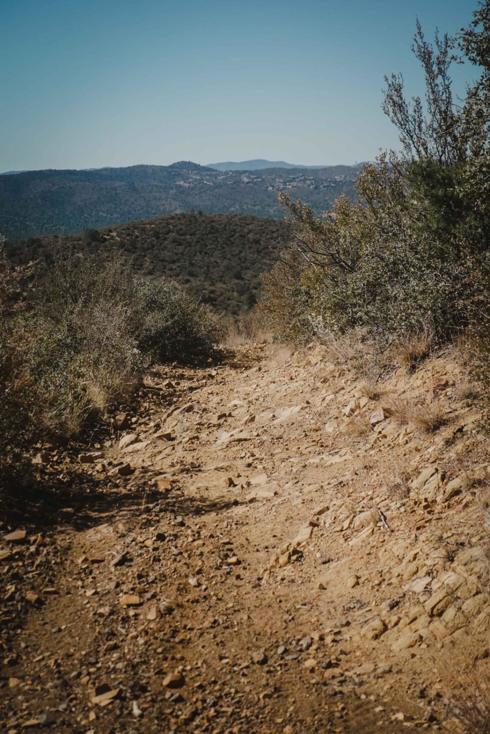
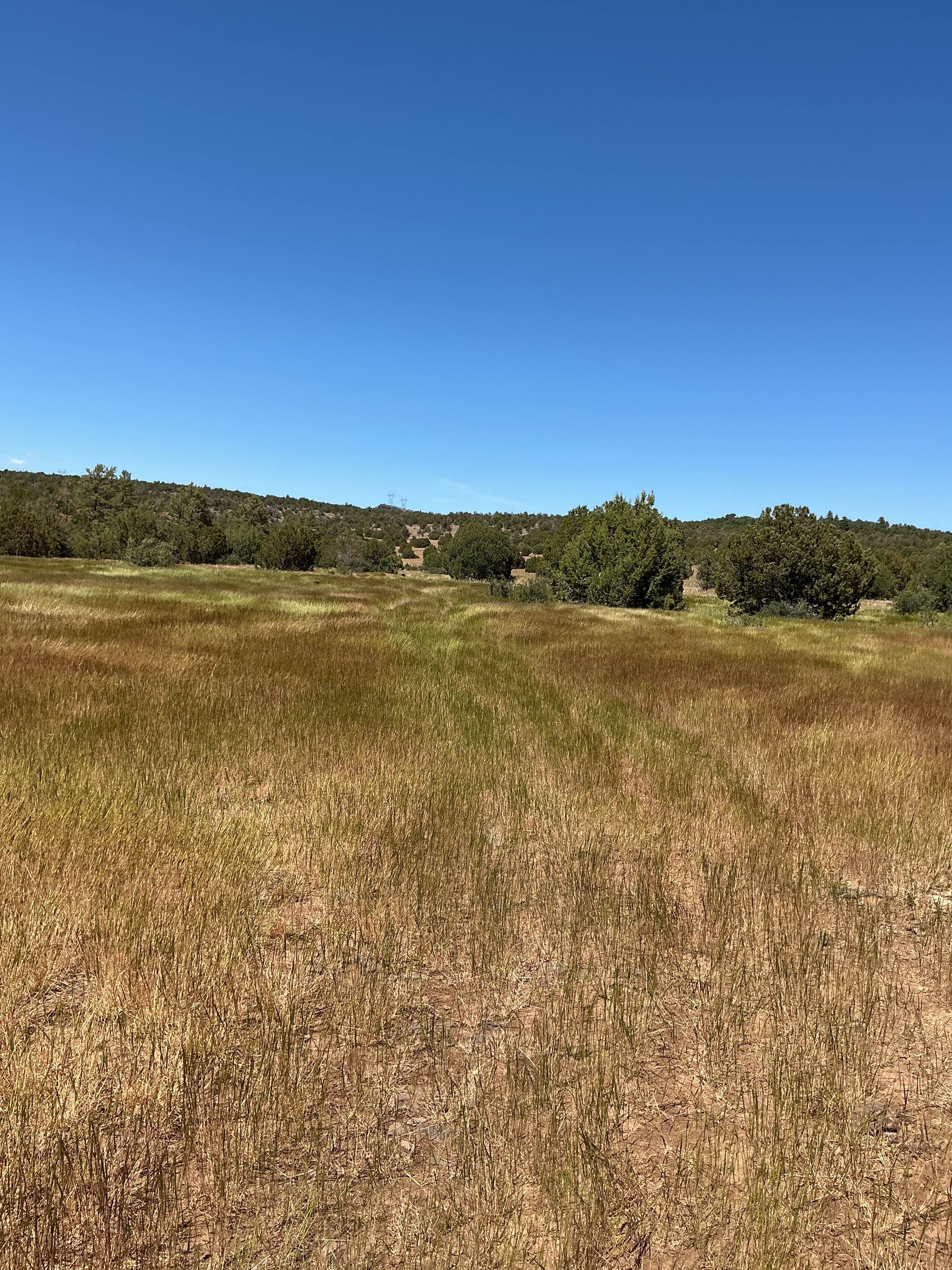
Trail Overview
Take a fairly difficult Jeep trail to an abandoned mercury mine in the rugged Mazatal Mountains between Mesa and Payson. The section below the mine is somewhat easier than above the mine. We prefer to run in a clockwise direction, although it is possible to go either way. It works better if all groups go clockwise, as there are not many opportunities to pass. There is a bridge on the main trail into the mine that miraculously survived the flood of 2012. There is a small shaft at the mouth of the spur road leading to the processing plant. Drive down to the site and then scramble down to look under the cement slab. It appears the unwanted or left-over material was dropped down to a conveyor chain and disposed of into the creek bed below. The main mines for the plant were located a short distance up the side creek. The road to the major ones washed out in the flood of 2012, but it is possible to cross the washout with a little caution. All mines were closed and vents were installed in the openings during the cleanup so they are not of great interest. Return to the main trail, which gets more difficult as you drop down into the creek above the mine area. One spot shortly after leaving the mine area was getting dangerously narrow, with a ledge on one side and a crumbling bank high above the creek on the other. No need to worry about this any longer as it washed out completely in 2017. Now it is creek bottom and boulders. You are forced to stay in the creek for a while, then the trail briefly climbs out of the creek and onto a road. Some vehicles have continued to the bottom instead of using the road. After a bunch more boulders you will leave the creek altogether by climbing up a small ledge and then traversing an eroded hill. Narrow, deeply rutted trails are not a good place to turn around, especially when there is a snow/rain mix and the road surface is slippery mud.
Photos of Sunflower Mine
Difficulty
If there is water in the wash, it will increase the difficulty. Much of this route is in a boulder-filled wash, so technical placement of your tires is important. A steep climb out of the wash to atop the mountain is also a white-knuckle experience for some. A 4-inch lift and lockers front and back are recommended.
Status Reports
Sunflower Mine can be accessed by the following ride types:
- High-Clearance 4x4
- SxS (60")
- ATV (50")
- Dirt Bike
Sunflower Mine Map
Popular Trails
Canyon Camp Loop Ajo
The onX Offroad Difference
onX Offroad combines trail photos, descriptions, difficulty ratings, width restrictions, seasonality, and more in a user-friendly interface. Available on all devices, with offline access and full compatibility with CarPlay and Android Auto. Discover what you’re missing today!