Springer Mountain
Total Miles
3.9
Technical Rating
Best Time
Spring, Summer, Fall
Trail Type
Full-Width Road
Accessible By
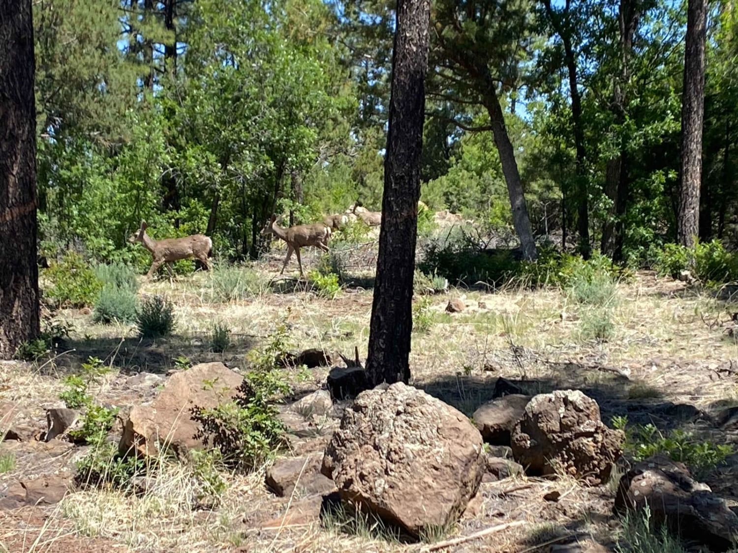
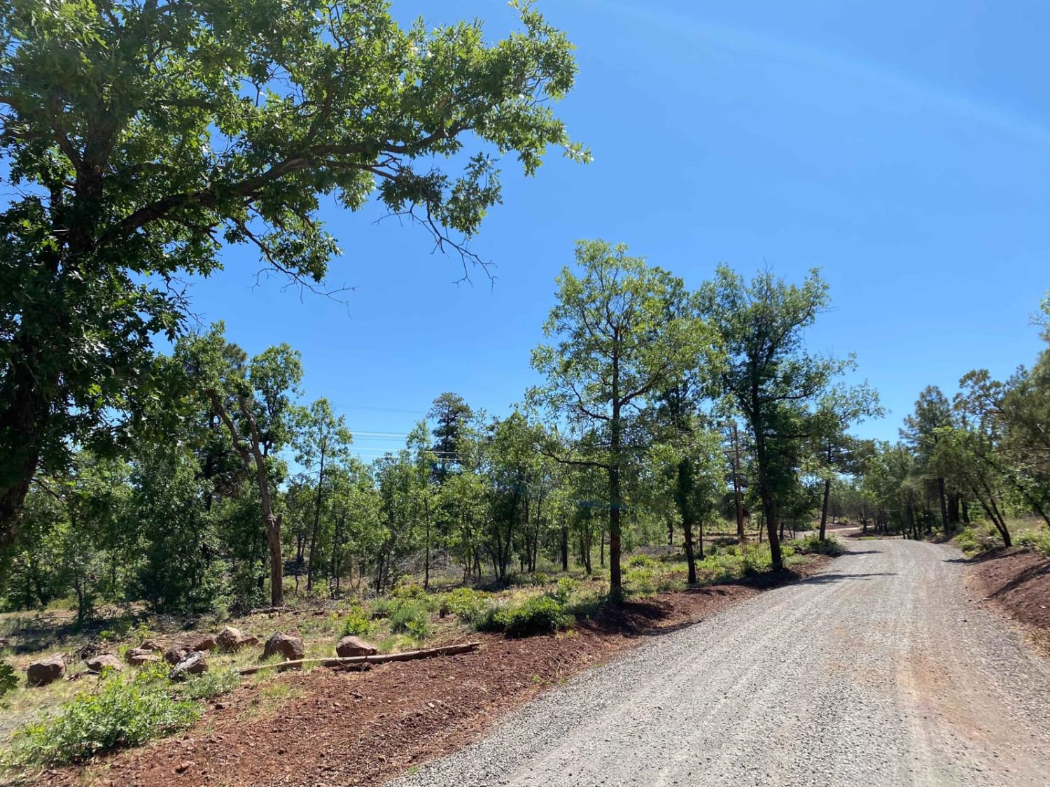
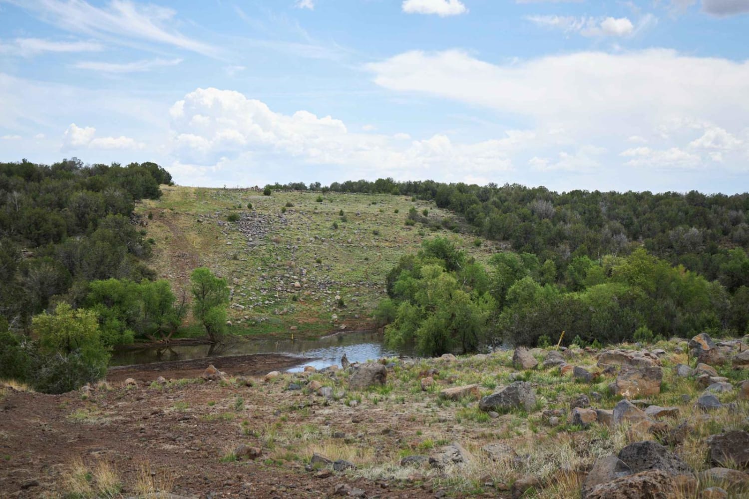
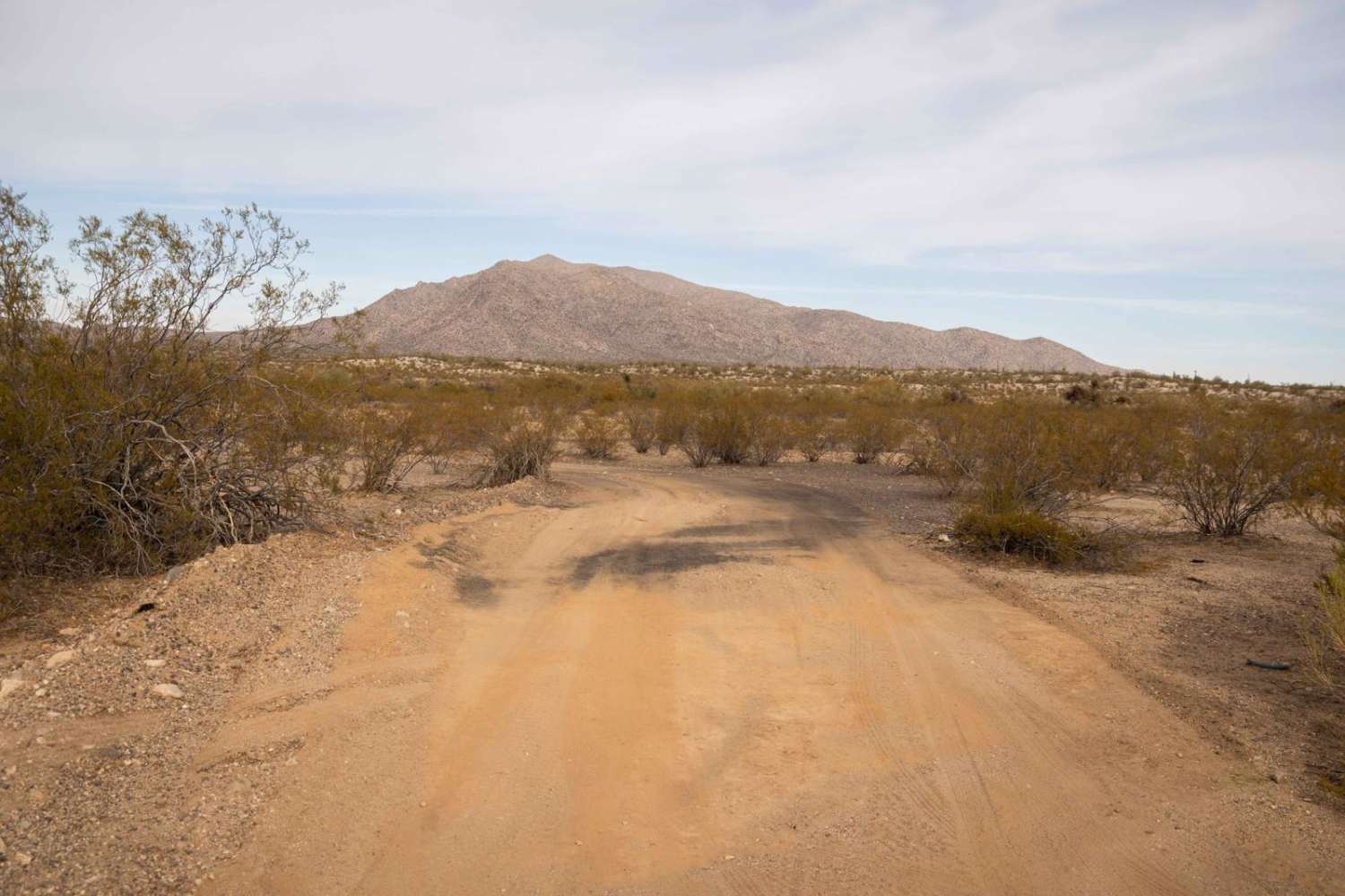
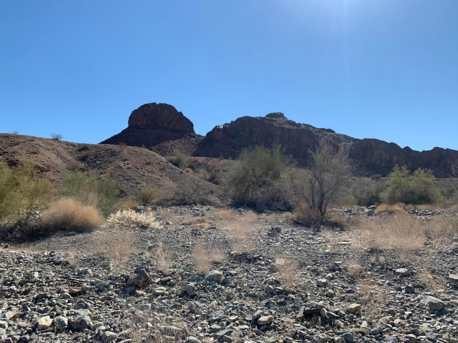
Trail Overview
Springer Mountain is an easy and scenic point-to-point trail through the Apache-Sitgreaves National Forest near Lakeside, AZ. The route is graded and covered with gravel and easily passable by most vehicles. Rain may increase the trail difficulty, and winter travel may not be possible. This is a great connector trail to various other forest service roads leading to other peaks in the area. As always, be a steward and protect our public lands and national forests; observe Tread Lightly! Principles and have fun.
Photos of Springer Mountain
Difficulty
Graded, gravel road. No obstacles.
Status Reports
Springer Mountain can be accessed by the following ride types:
- High-Clearance 4x4
- SUV
- SxS (60")
- ATV (50")
- Dirt Bike
Springer Mountain Map
Popular Trails
Montana Mountain
Pipeline Road 796
Muggins Mountain West
The onX Offroad Difference
onX Offroad combines trail photos, descriptions, difficulty ratings, width restrictions, seasonality, and more in a user-friendly interface. Available on all devices, with offline access and full compatibility with CarPlay and Android Auto. Discover what you’re missing today!