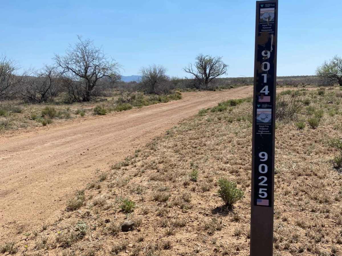
Trail Overview
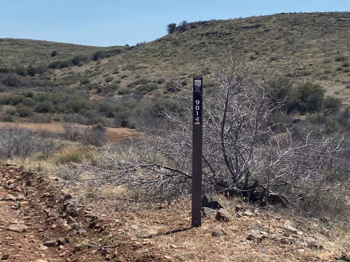
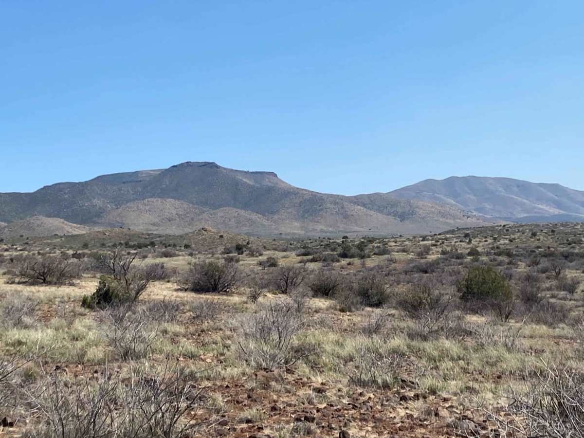
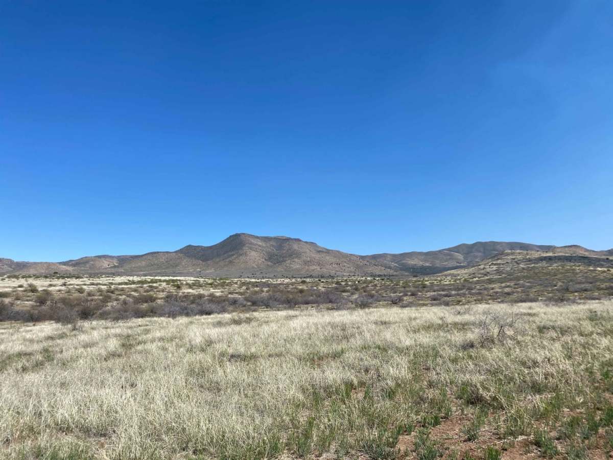
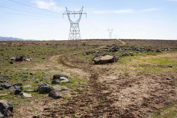
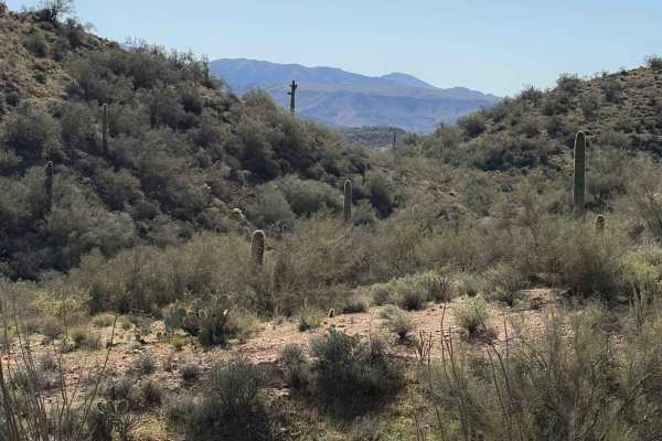
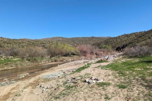
This mostly easy out-and-back trail traverses through the beautiful desert grasslands of the Agua Fria National Monument and Tonto National Forest at an elevation too high for saguaros and too low for alpine forests. The first few miles are the easiest but have many deep ruts. There are bypasses present with room to pass other vehicles. The remaining trail becomes less maintained as you travel toward the plateau. The trail sits below the grass line and is a single lane which makes passing more challenging. The final 3-4 miles of RBW are the least maintained, with rocky sections containing some boulders to navigate, erosion, and overgrowth present in the middle of the trail. High clearance is needed because this overgrowth between tire lines hides boulders that may damage the undercarriage. Not a very technical trail, and if running 33s or above on your 4x4 or riding SxS, dirt bike, or ATV, this trail will be a fun, easy ride. Below 33 will still be fun but just a bit more technical toward the end. The vistas at the end are so beautiful and worth the time spent traveling. Multiple gates to travel through;please leave them as you found them. Be on the lookout for cattle. No shade;plan accordingly.
Difficulty
Tire erosion present at the beginning of the trail with bypasses available. Some rocky sections requiring proper tire placement. Trail not routinely maintained, especially in last few miles. Water erosion has formed some ruts and overgrowth in trail hides obstacles including boulders up to 12" high.
History
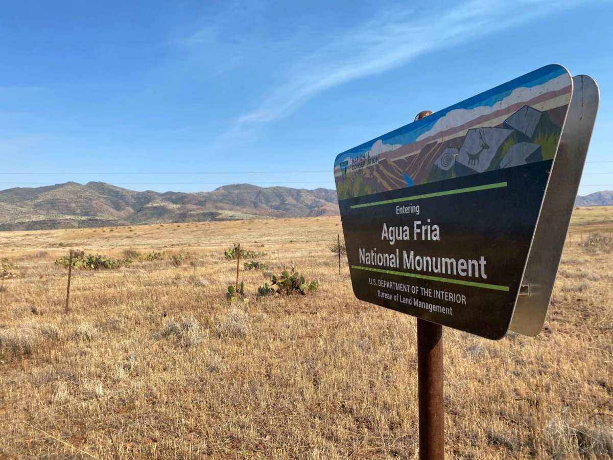
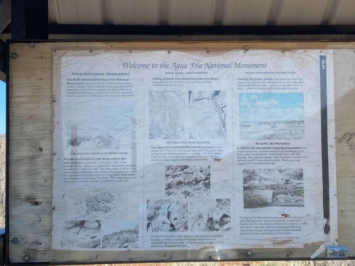
Adjacent to rapidly expanding communities, the 71,000-acre Agua Fria National Monument is approximately 40 miles north of central Phoenix. The monument encompasses two mesas and the canyon of the Agua Fria River. Elevations range from 2,150 feet above sea level along the Agua Fria Canyon to about 4,600 feet in the northern hills. The diversity of vegetative communities, topographic features, and a dormant volcano decorates the landscape with a big rocky, basaltic plateau. This expansive mosaic of semi-desert area, cut by ribbons of valuable riparian forest, offers one of the most significant systems of prehistoric sites in the American Southwest. In addition to the rich record of human history, the monument contains outstanding biological resources. The area is the home to coyotes, bobcats, antelope, mule deer, javelina, a variety of small mammals and songbirds. Eagles and other raptors may also be seen. Native fish such as the longfin dace, the Gila mountain sucker, the Gila chub, and the speckled dace, exist in the Agua Fria River and its tributaries. Trail is on both BLM land and Tonto National Forest.