Rasmussen Extended
Total Miles
7.0
Technical Rating
Best Time
Spring, Summer, Fall, Winter
Trail Type
Full-Width Road
Accessible By
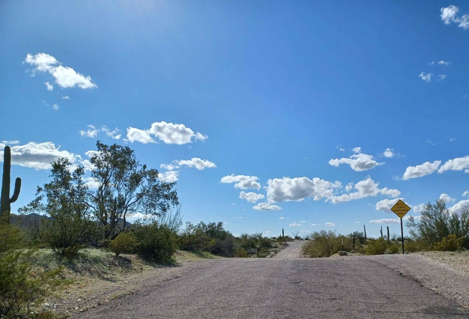
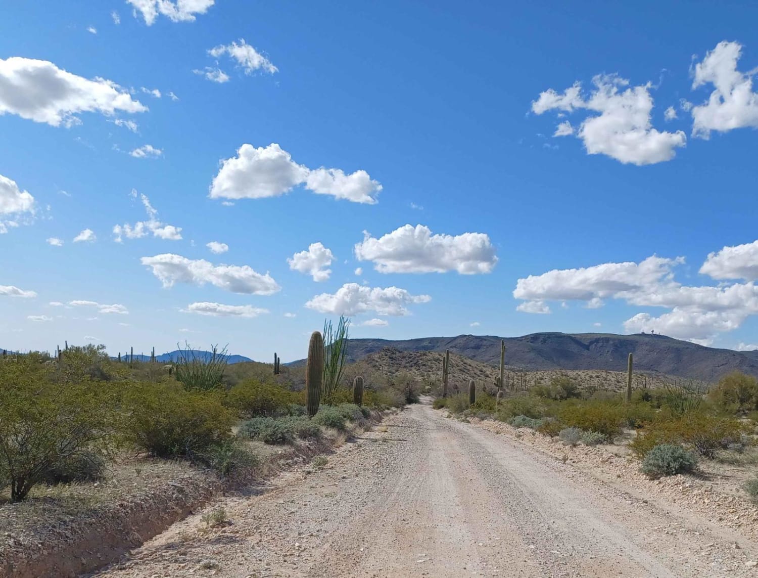
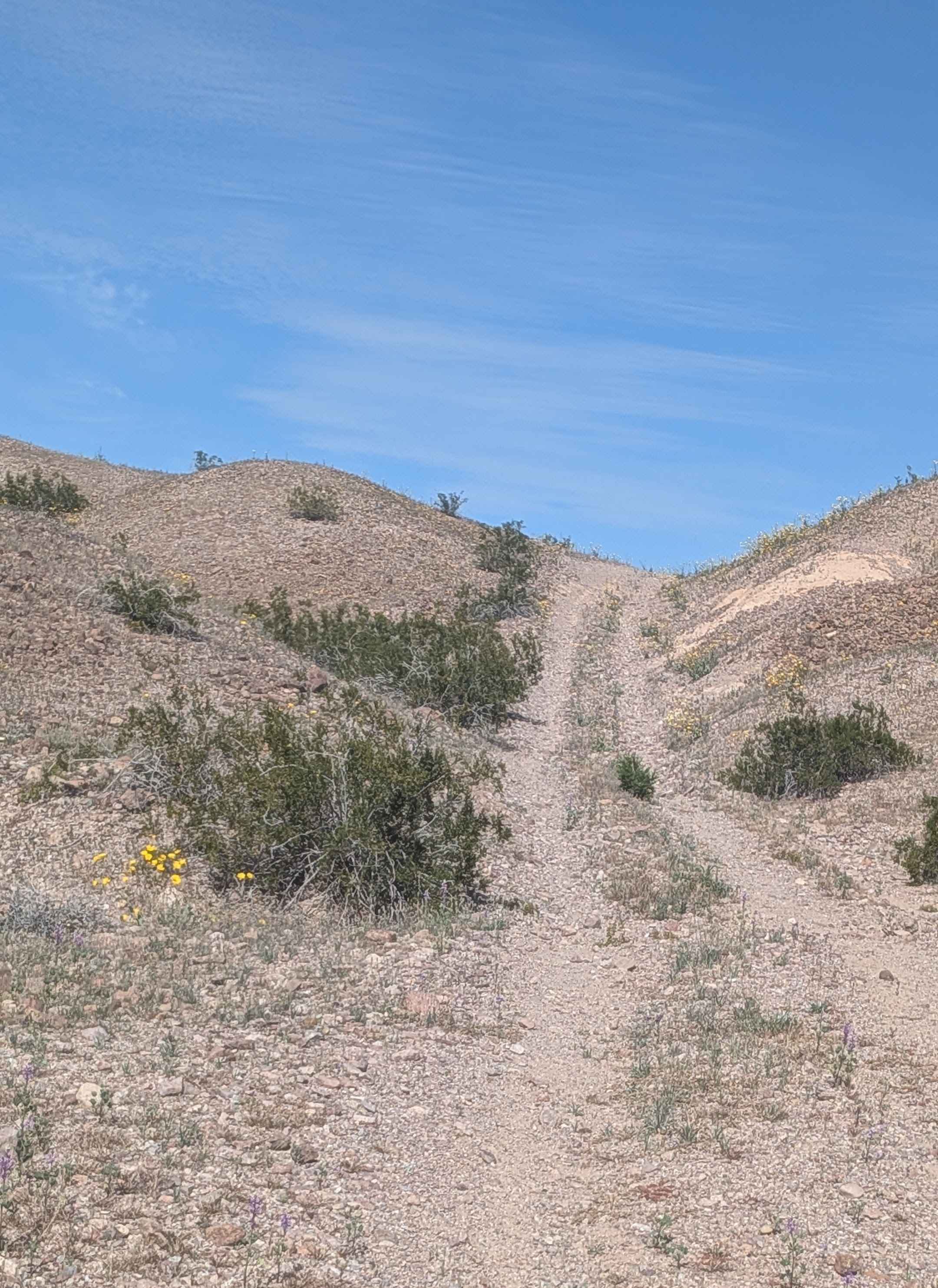
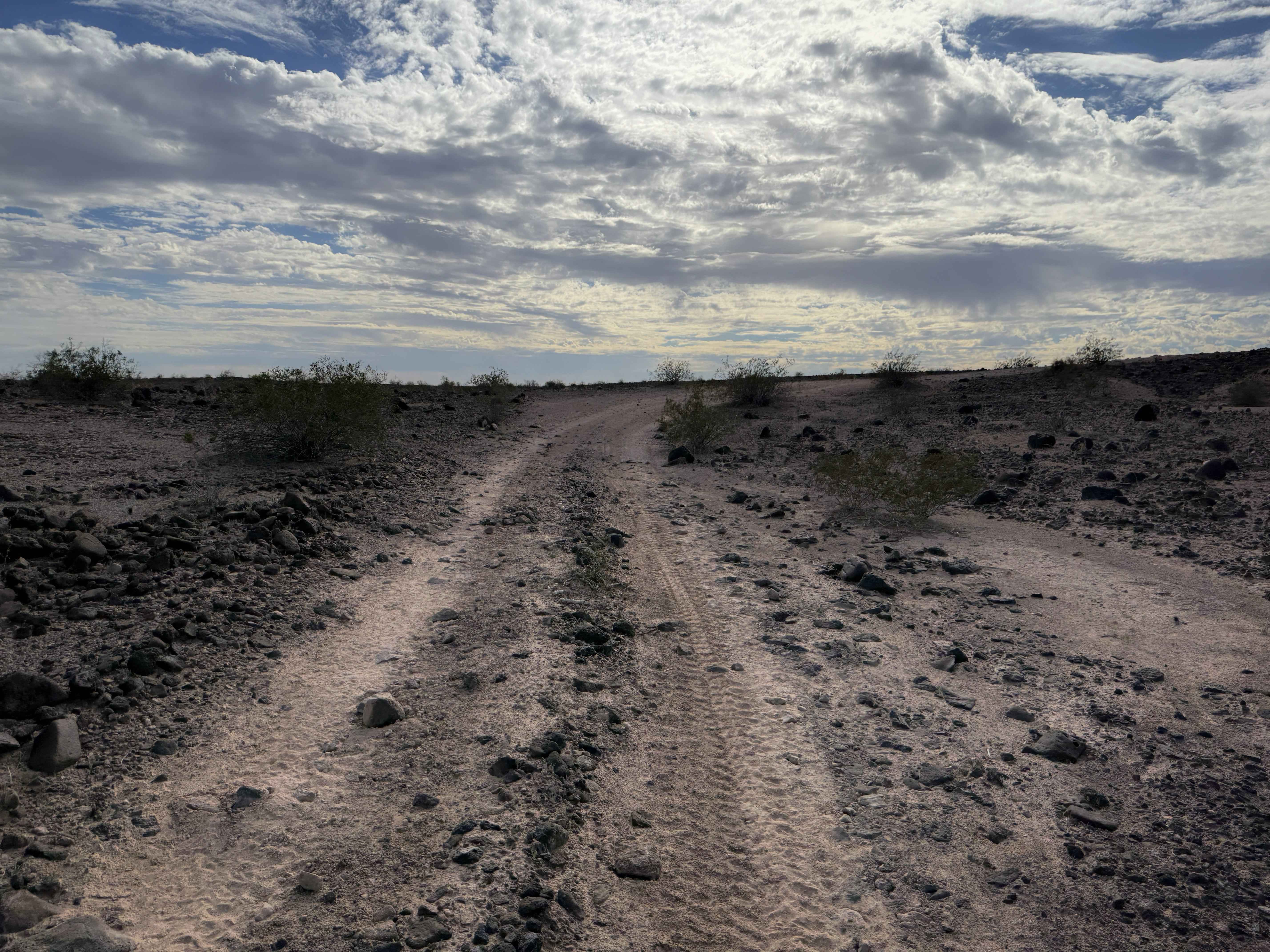
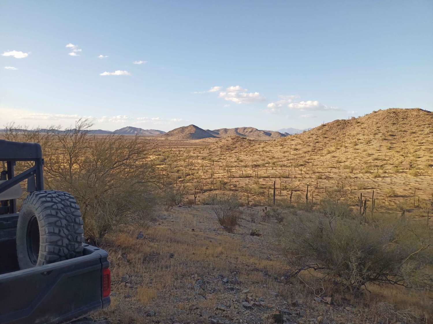
Trail Overview
Rasmussen extended road is an out-and-back road that drives through both Bureau of Land Management and Cabeza Prieta National Wildlife Refuge. The wilderness areas require a pass and registration to enter and can be got at Luke AFB iSportsman Service. This area is also known for high illegal activities so please do not travel alone and be mindful of your surrounding. The BLM area before the wilderness border has a lot of cool roads and camp spots to check out. The road itself is easy and can be done in a 2WD vehicle during good weather, can become muddy when wet. The road ends at a sign that says GOV use only, there is no gate but this area is closed to public access, please follow the signs.
Photos of Rasmussen Extended
Difficulty
This trail can be muddy when wet.
Status Reports
Rasmussen Extended can be accessed by the following ride types:
- High-Clearance 4x4
- SUV
- SxS (60")
- ATV (50")
- Dirt Bike
Rasmussen Extended Map
Popular Trails
Sonoran Desert Flats
Hawk Hills Northern Hilltop

Mystery Canyon
The onX Offroad Difference
onX Offroad combines trail photos, descriptions, difficulty ratings, width restrictions, seasonality, and more in a user-friendly interface. Available on all devices, with offline access and full compatibility with CarPlay and Android Auto. Discover what you’re missing today!