Hualapai Mountain Scenic Bypass
Total Miles
25.3
Technical Rating
Best Time
Spring, Summer, Fall, Winter
Trail Type
Full-Width Road
Accessible By
Trail Overview
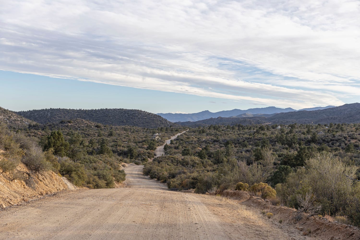
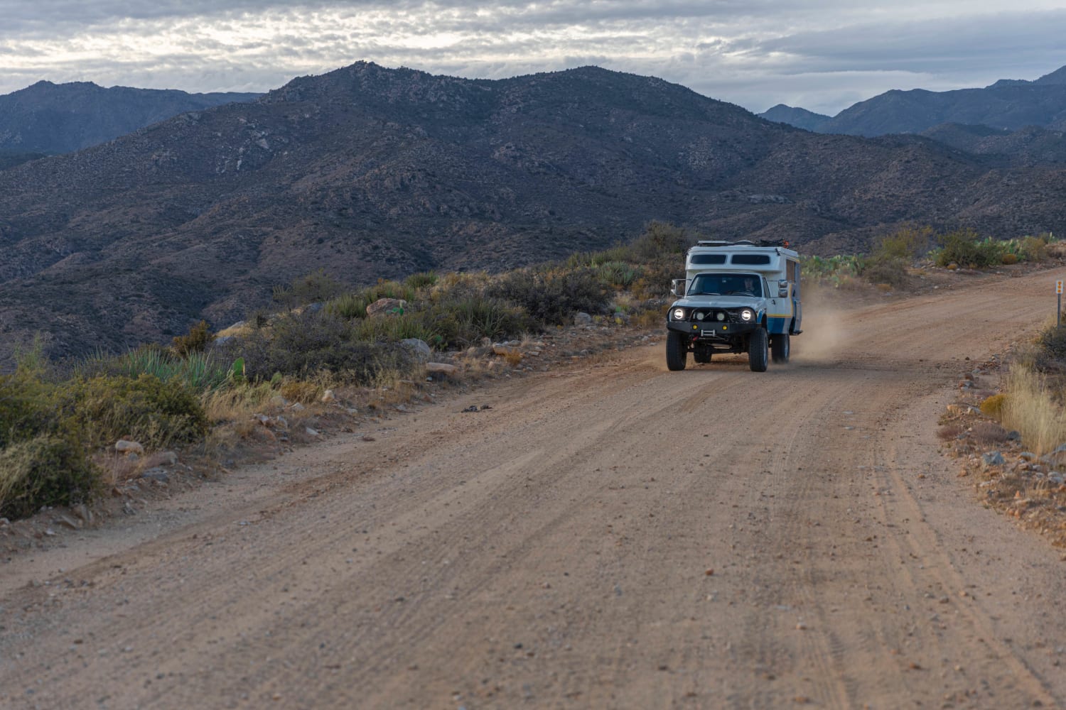
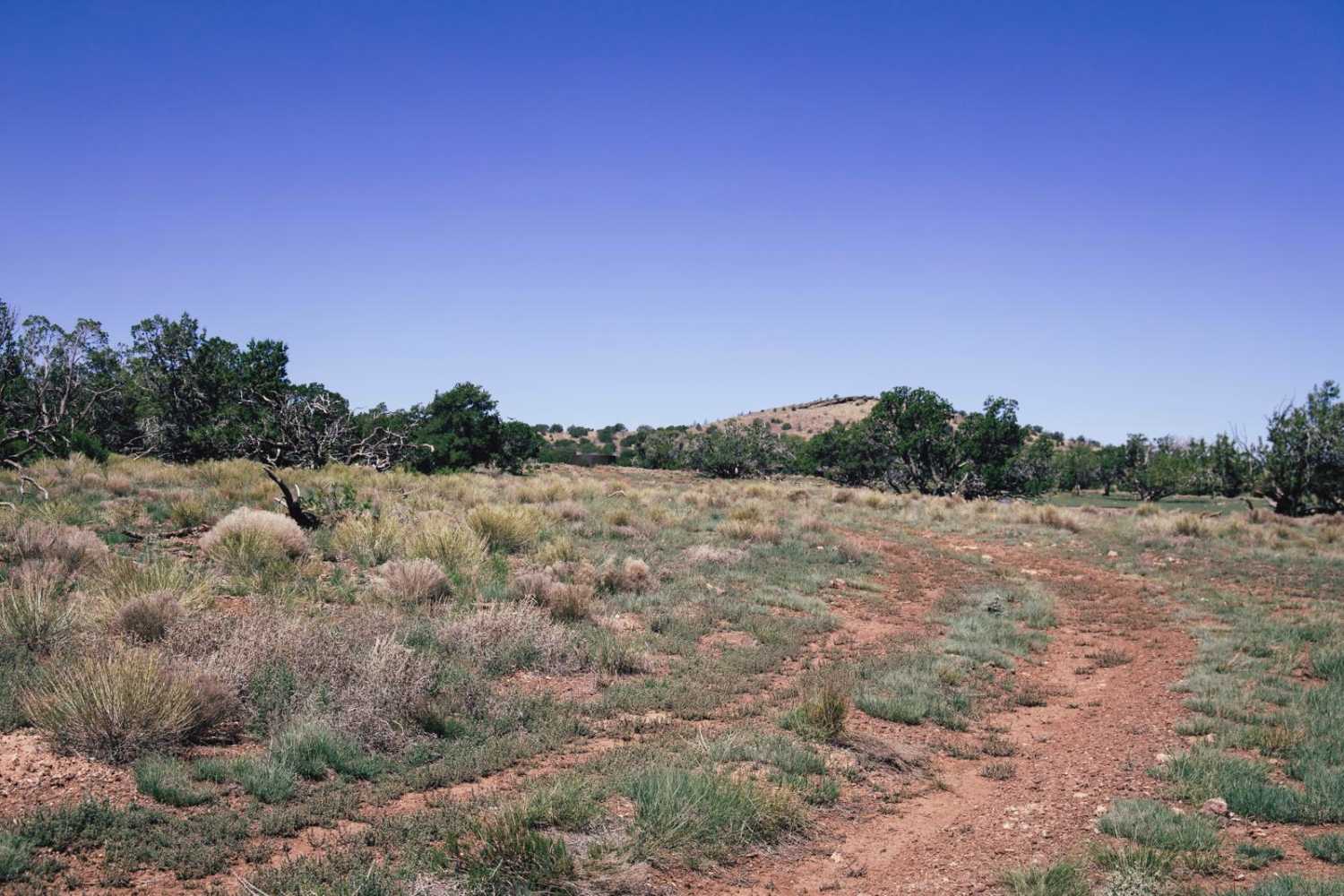
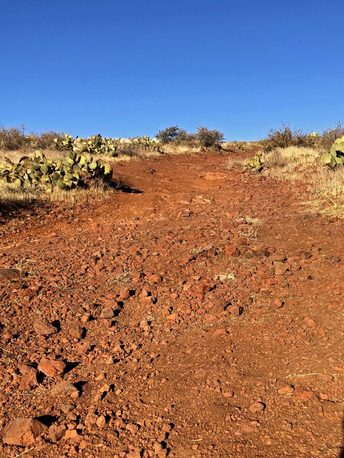
This is a great side trip to take if you are traveling through and need a break from the interstate. There is stunning scenery and lots of camping, not to mention the plethora of side trails just waiting to be explored. The road is very easy. There are a lot of potholes and gaps in the edges of the road at the beginning of the trail; however, this is easily avoided so long as you aren't traveling in the dark. The trail climbs steadily up into the mountains and then evens out at the top until you make it back to the highway. At one point, you will cross next to a ranch, cows are freely grazing, and longhorns may be crossing the road.
Photos of Hualapai Mountain Scenic Bypass
Difficulty
This trail is easy to do and can easily be accomplished in a 2 wheel drive vehicle, there are multiple washouts that have deteriorated the gravel road.
History
This used to be the site of a few scattered mining claims, nearby, you can still visit the dilapidated 90 year old remains of Gold King mansion where many mine workers were accommodated. abandoned mine shafts can still be found throughout the valley. The minerals being mined in this area include gold, silver, copper, and lead.
Status Reports
Hualapai Mountain Scenic Bypass can be accessed by the following ride types:
- High-Clearance 4x4
- SUV
- SxS (60")
- ATV (50")
- Dirt Bike
Hualapai Mountain Scenic Bypass Map
Popular Trails

Buckhorn Canyon
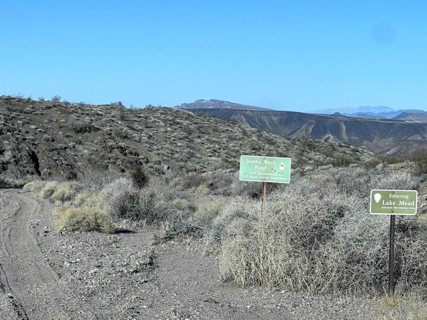
Jumbo Wash Road
Heifer Hills
The onX Offroad Difference
onX Offroad combines trail photos, descriptions, difficulty ratings, width restrictions, seasonality, and more in a user-friendly interface. Available on all devices, with offline access and full compatibility with CarPlay and Android Auto. Discover what you’re missing today!
