Elbow Canyon Road-Mohave County 229 (BLM1042)
Total Miles
11.1
Technical Rating
Best Time
Spring, Summer, Fall, Winter
Trail Type
Full-Width Road
Accessible By
Trail Overview
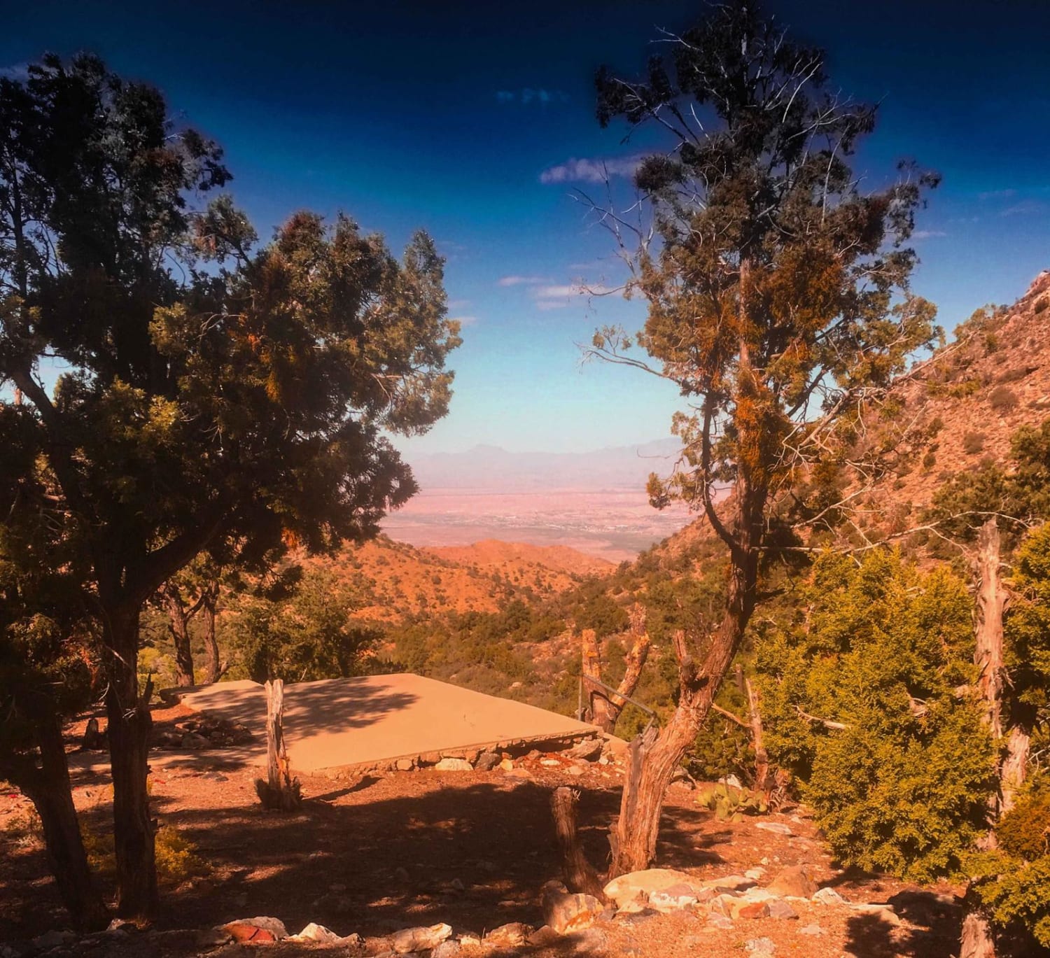
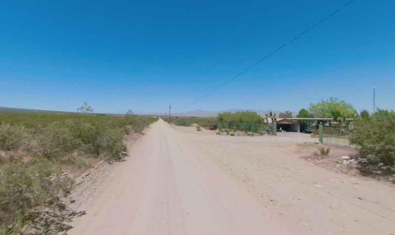
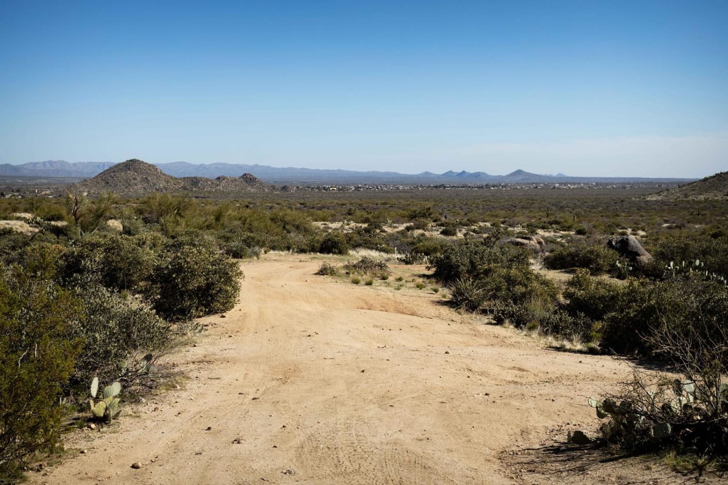
Elbow Canyon Road-Mohave County 229-BLM1042 is an 11-mile straight-through trail that is ideal for most stock 4x4 vehicles with high clearance and is rated 3 of 10. From Scenic, Arizona Elbow Canyon rises 4600 feet into the Virgin Mountain ending at the intersection with Black Rock Road-BLM1004. At this intersection is the historic Black Rock Stone Cabin. The trail is considered moderate due to several washed-out sections with exposed rocks. The trail can be done in either direction but is typically done from bottom to top Grand Canyon-Parashant National Monument region. From Scenic travel across 4 miles of open desert to the mouth of Elbow Canyon. As the trail ascends the western Virgin Mountains the trail passes the remains of Frehner Haven Ranch, also called Cold Springs Ranch. The remains of the cabin foundation remain and offer spectacular views of the valley below. The trail continues to climb along narrow ledge switchbacks until it summits and connects with Black Rock Mountain-BLM1004. This trail is not suitable for all-wheel or low-clearance 4x4 vehicles. Expect to lose cell phone service once entering into the canyon proper or cresting the summit.
Photos of Elbow Canyon Road-Mohave County 229 (BLM1042)
Difficulty
Trail consisting of loose rocks, dirt, and sand with some slickrock surfaces, mud holes possible, no steps higher than 12". High clearance 4WD is required, aggressive tires a plus.
Status Reports
Elbow Canyon Road-Mohave County 229 (BLM1042) can be accessed by the following ride types:
- High-Clearance 4x4
- SUV
- SxS (60")
- ATV (50")
- Dirt Bike
Elbow Canyon Road-Mohave County 229 (BLM1042) Map
Popular Trails
Washout Canyon
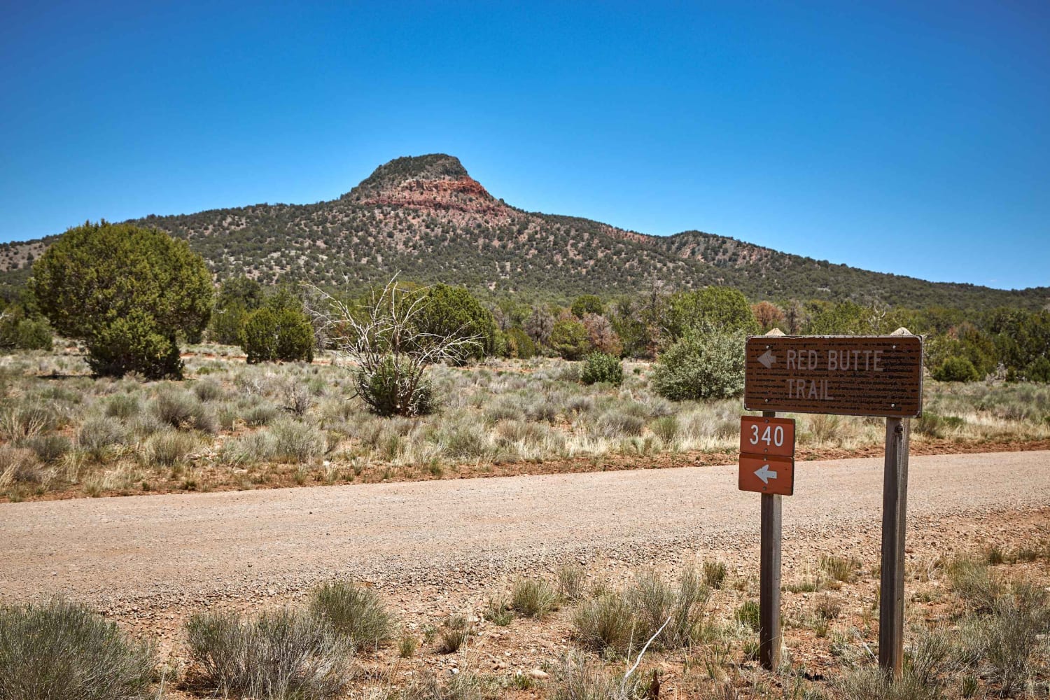
Red Butte Road
The onX Offroad Difference
onX Offroad combines trail photos, descriptions, difficulty ratings, width restrictions, seasonality, and more in a user-friendly interface. Available on all devices, with offline access and full compatibility with CarPlay and Android Auto. Discover what you’re missing today!