Cowpie Cowboy Trail
Total Miles
4.7
Technical Rating
Best Time
Spring, Summer, Fall
Trail Type
Full-Width Road
Accessible By
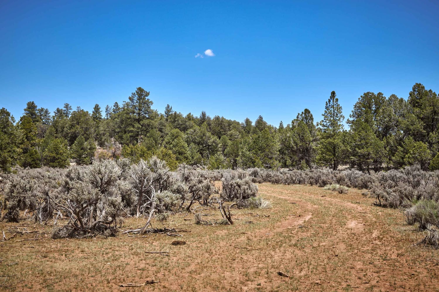
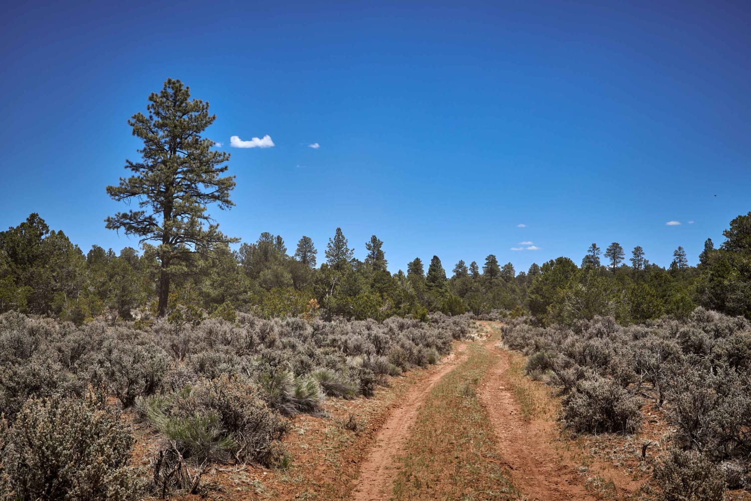
Trail Overview
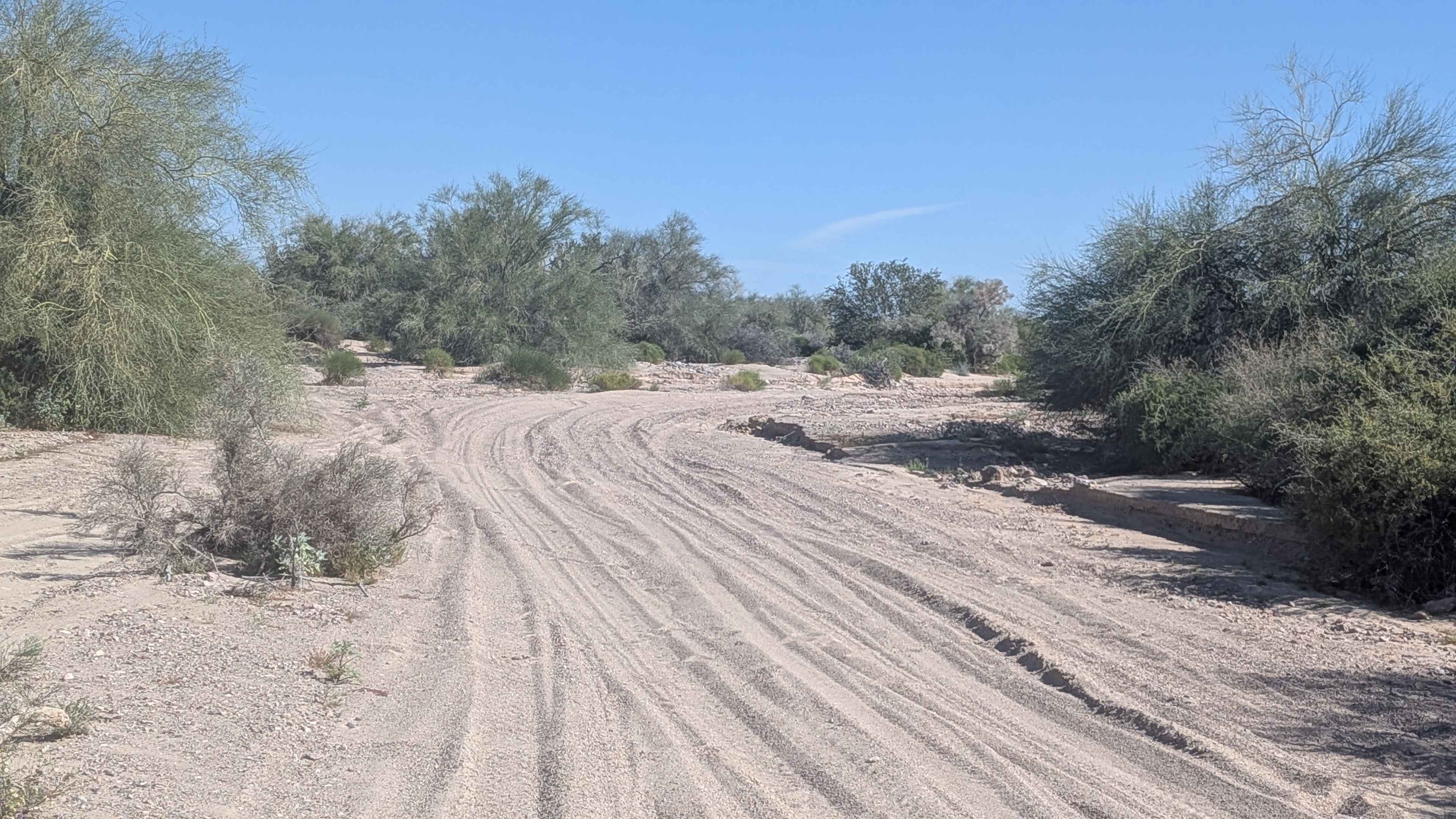
When ran from South to North, you can easily see how Cowpie Cowboy Trail gets its name. The trail starts as a single track of rutted mud and cowpies with some off-camber whoops in the track. Along this rougher section, you'll encounter deep ruts in the road, as well as chalky dust (if running this trail pre or post-monsoon season) and some obstacles and rocks around 8" or less. But, if you can stick out this section, further up, the road, you'll be rewarded with a stunning, meandering trail through a large healthy forest of Ponderosa Pine. This trail exits on the North end at Red Skinner Road, a gravel forest road with easy access.
Photos of Cowpie Cowboy Trail
Difficulty
Unmaintained road that more resembles a cattle access trail than road.
Status Reports
Cowpie Cowboy Trail can be accessed by the following ride types:
- High-Clearance 4x4
- SUV
- SxS (60")
- ATV (50")
- Dirt Bike
Cowpie Cowboy Trail Map
Popular Trails
Jack Handle

Most Popular No View
The onX Offroad Difference
onX Offroad combines trail photos, descriptions, difficulty ratings, width restrictions, seasonality, and more in a user-friendly interface. Available on all devices, with offline access and full compatibility with CarPlay and Android Auto. Discover what you’re missing today!