USFSR #600-1
Total Miles
14.0
Technical Rating
Best Time
Spring, Summer, Fall, Winter
Trail Type
Full-Width Road
Accessible By
Trail Overview
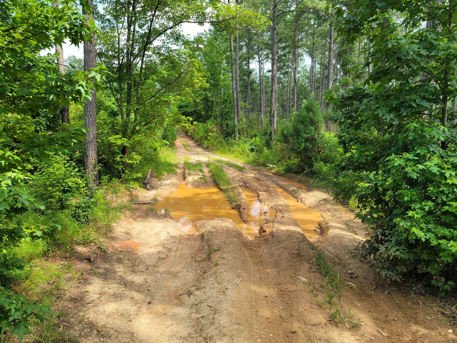
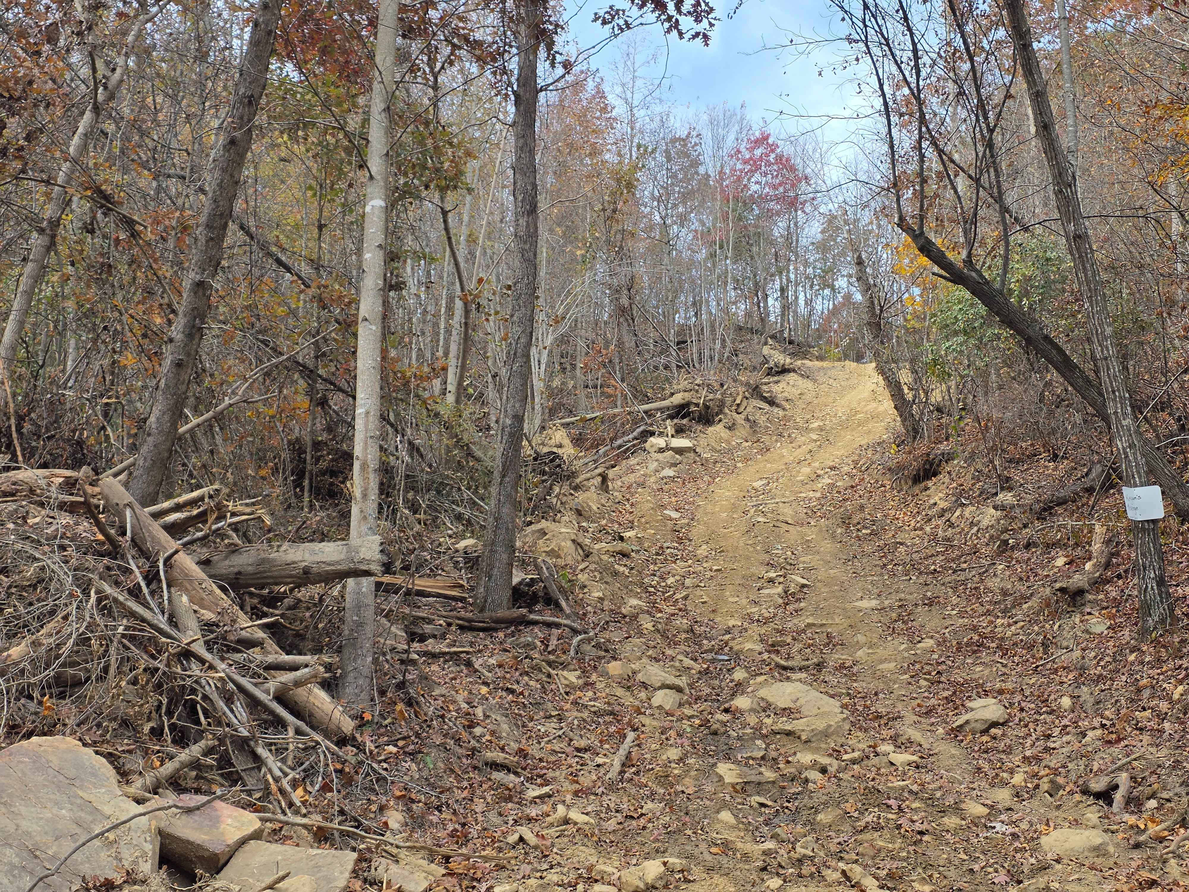
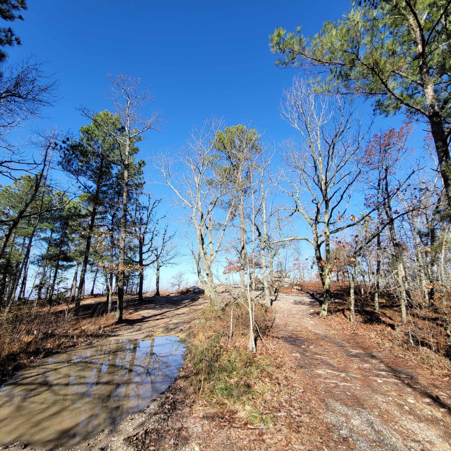
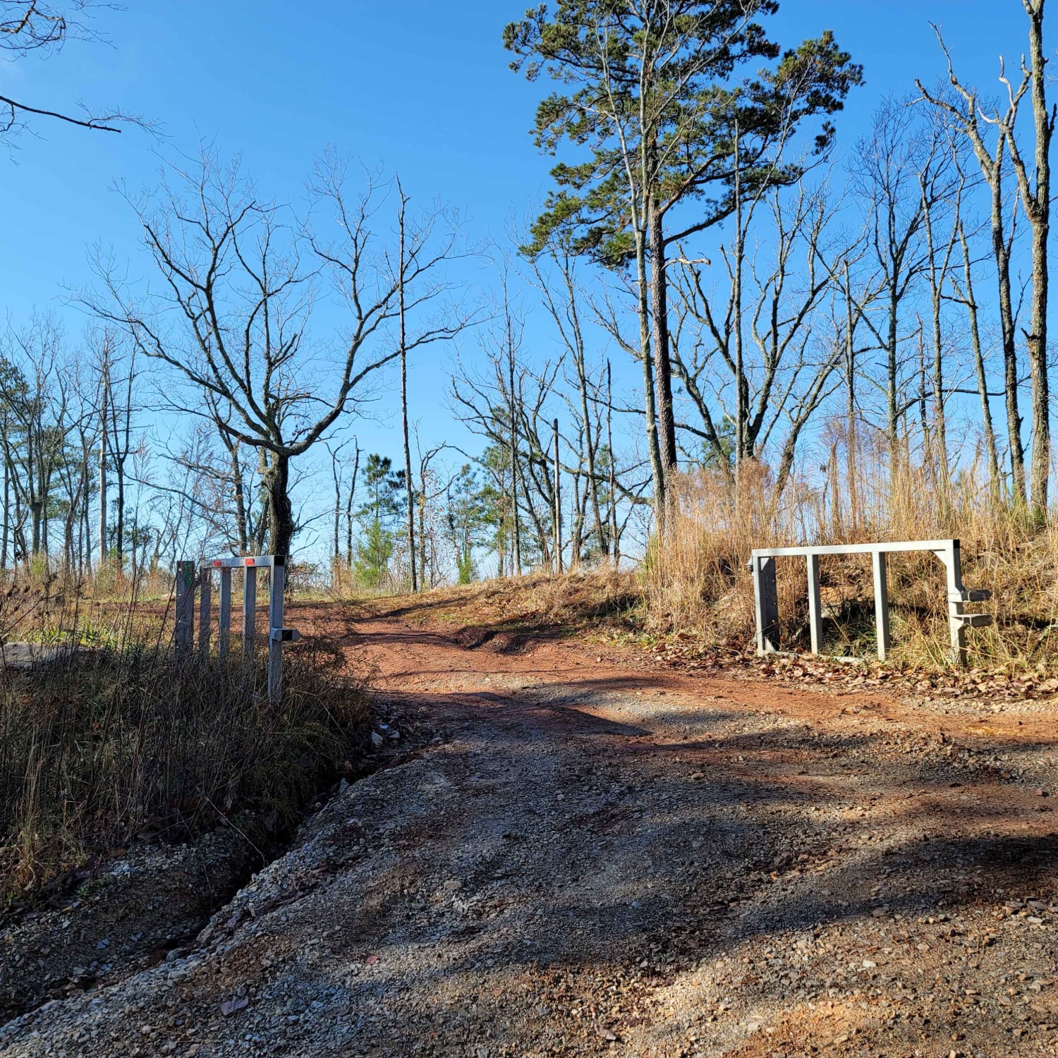
600-1 and its partner trail 600-2 are the most common trails in Alabama that are on public lands. People come from all over to see the scenic views and to see what the trail is all about. The trail begins just outside the small town of Sylacauga, nestled in the hills of the Millerville community. It will end at the north end on AL HWY 77. It rides along the ridgebacks of Horn mountain, with 3 main lookout points with beautiful views. In a dry season, the trail is very basic, yet the mud holes will hold their water; some are unavoidable. The trail is mainly muddy silt, to a light brown hard packing with rock throughout. This trail does have a few ruts and obstacles, but once the rain comes, complacency can put you in an unfortunate situation. The trail is occasionally maintained by the USFS, but is heavily traveled. Remember, all USFS roads are marked with a brown sign with white writing. If the trail isn't marked, you shouldn't be on it. Avoid all side trails as local enforcement has been known to give fines for getting off of designated trails. According to the Motor Vehicle Use Map(MVUM), ATVs are not allowed.
Photos of USFSR #600-1
Difficulty
This trail is very seasonal. It is also "maintained" by the forest service, so sometimes it is graded. It can be easy to moderate at all times. Due to it being along the ridge of Horn mountain, water runoff can create large mud holes or ruts, most of which are avoidable.
History
600-1 and 600-2 are two trails that were originally put in place during President Roosevelt's New Deal. It was apart of a system of fire towers erected by the Civilian Conservation Corps (CCC) that helped preserve the 75 mile system that leads from Sylacauga to Borden Springs just North of Piedmont.
Status Reports
USFSR #600-1 can be accessed by the following ride types:
- High-Clearance 4x4
- SUV
USFSR #600-1 Map
Popular Trails

USFSR #642K Old Wade Mtwy

Creek Trail

Keegan's Revenge
The onX Offroad Difference
onX Offroad combines trail photos, descriptions, difficulty ratings, width restrictions, seasonality, and more in a user-friendly interface. Available on all devices, with offline access and full compatibility with CarPlay and Android Auto. Discover what you’re missing today!


