Km128 - San Evaristo
Total Kilometers
106.2
Technical Rating
Best Time
Spring, Summer, Fall, Winter
Trail Type
Full-Width Road
Accessible By
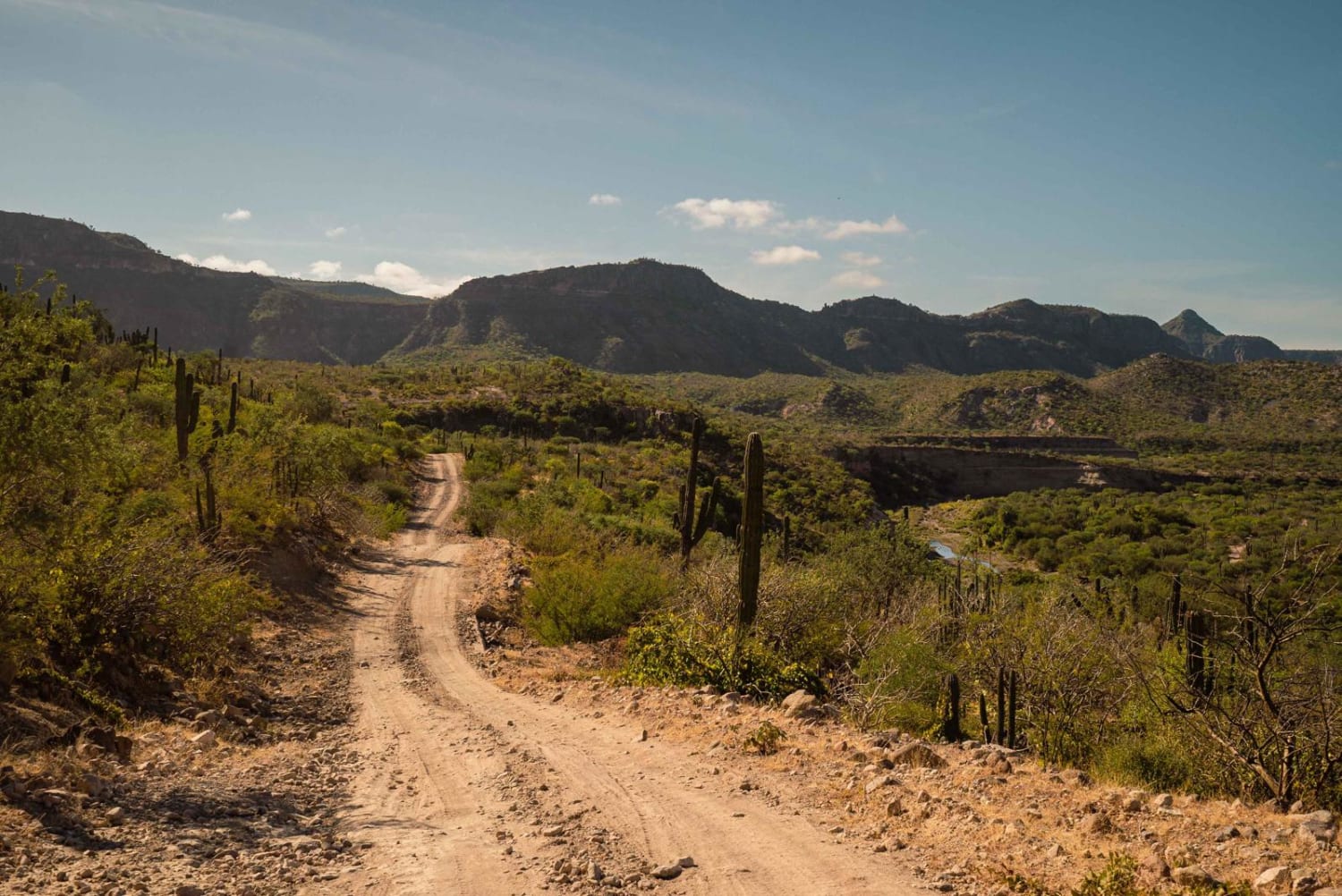
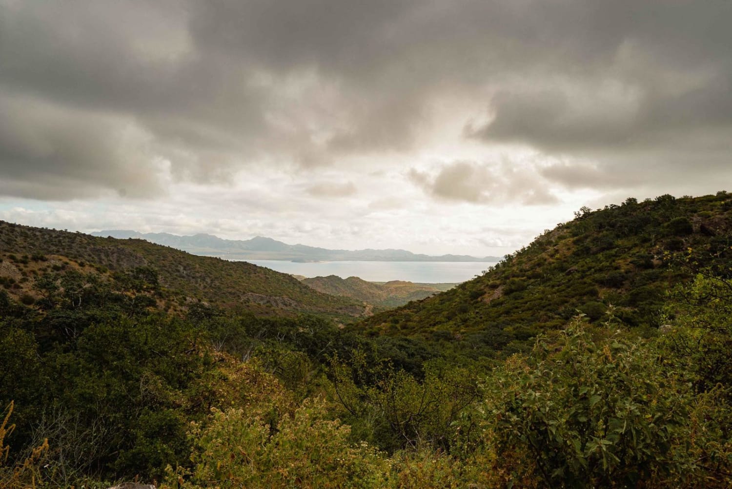
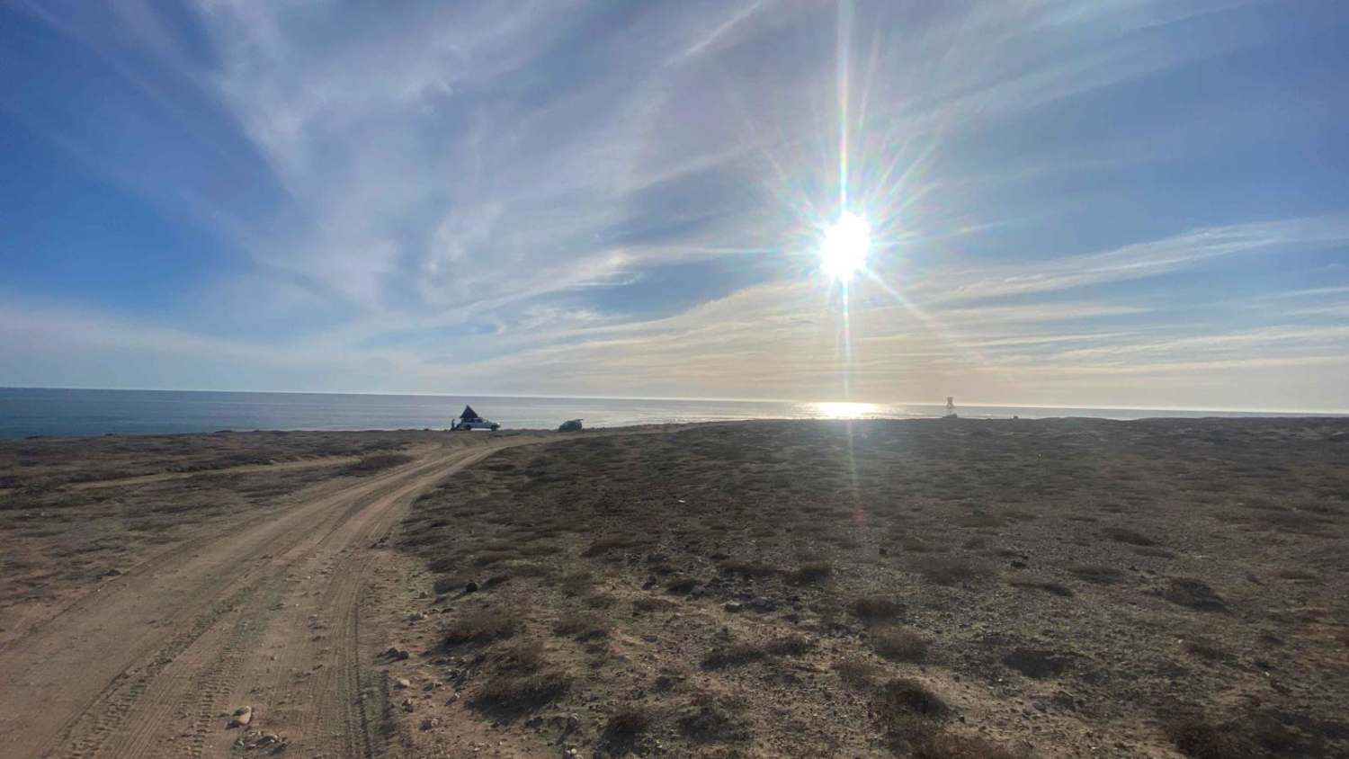
Trail Overview
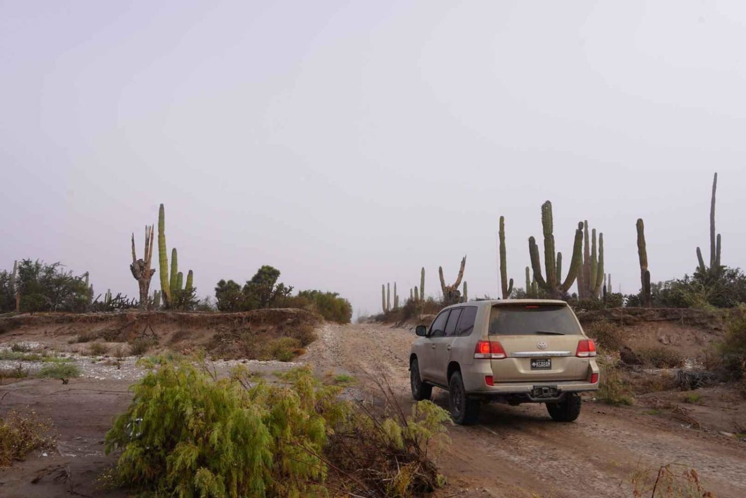
This route has an even dirt track with some long rocky sections with some dried-out river beds and paved water crossing in between the ranches, and a few small forested areas. There are a few homes and ranches throughout the trail, so locals lightly traffic it. On one end of the trail just before entering, there is the last gas station and a small Loncherias (food shack). On the other end of the trail in San Evaristo, you can find, historical missions to cave paintings, a small shop, and a restaurant.
Photos of Km128 - San Evaristo
Difficulty
Most of this trail is comprised of dirt and loose rocks, with a few sections of unmaintained trail that can vary in conditions and grade dirt roads.
Status Reports
Km128 - San Evaristo can be accessed by the following ride types:
- High-Clearance 4x4
- SUV
- SxS (60")
- ATV (50")
- Dirt Bike
Km128 - San Evaristo Map
Popular Trails
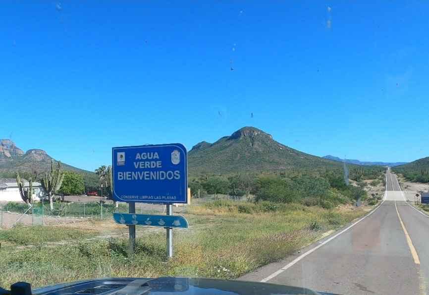
Agua Verde Trail

El Faro Connection
San Juanico to San Ignacio via the Coast.
The onX Offroad Difference
onX Offroad combines trail photos, descriptions, difficulty ratings, width restrictions, seasonality, and more in a user-friendly interface. Available on all devices, with offline access and full compatibility with CarPlay and Android Auto. Discover what you’re missing today!