Gavilan Manganese Mine Ruins
Total Kilometers
7.1
Technical Rating
Best Time
Spring, Summer, Winter
Trail Type
High-Clearance 4x4 Trail
Accessible By
Trail Overview
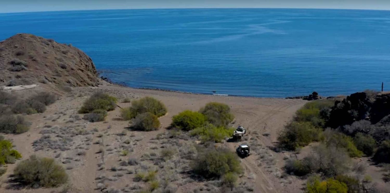
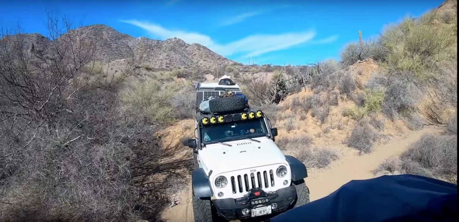
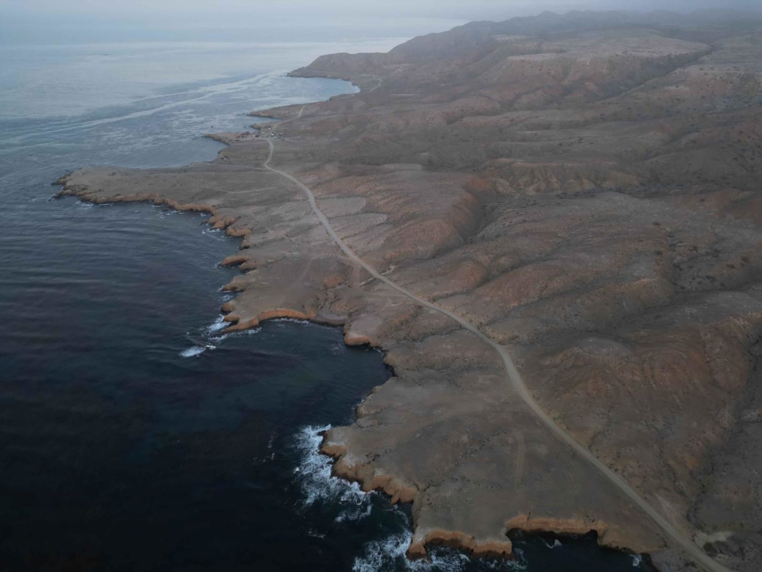
Starting from Playa Punta Domingo, this route will take you on a journey across the peninsula, from the Bay of Conception to the Sea of Cortez. Although slightly more challenging than the initial trek to the beach, the route is considerably shorter with some steep inclines towards the summit. It typically takes around 1.5 hours one way, but if you maintain a steady pace without any stops, it's possible to complete it in under an hour. During our April crossing, we were fortunate enough to spot a Mountain Lion along the way in the early morning. Once you reach the other side, take some time to explore the Manganese mines which were home to thousands of workers during World War II. Keep in mind that the area is known to be inhabited by rattlesnakes. During our journey, we discovered a rattlesnake skin on the rocky beach. After completing the out-and-back, you'll have around 3.5 hours left to return to the pavement on the inbound trail.
Photos of Gavilan Manganese Mine Ruins
Difficulty
We are rating this trip as a 4 on both trails due to the need for experience in remote vehicle-supported exploration and the fact that changing conditions can make areas an easy 4 during some parts of the season. The overall trip can be somewhat challenging and require to go or no go decisions which is why it has not been well documented.
History
There are several references to the Gavilan mine which produced manganese (not magnesium) for the US war effort during WWII. At that time, more than 6,000 people worked at the mine. It was operated by a Mexican subsidiary of the Homestake Mining Co. Lessened post-war demand diminished the output, and the mine closed when a hurricane devastated much of the infrastructure in 1946. Although many of the foundations and concrete floors still survive, all of the equipment was salvaged and moved to other operations. The ore consisted of veins of pyrolusite, traces of which can still be picked up. There are great campsites, but the drive from the west side of the peninsula to the east can be quite challenging. High clearance is mandatory. Best References: Baja Explorer magazine (Later called Baja Life), Nov-Dec, 1991. Article by Bob Vinton.Manganese on Punta Concepcion, by James Noble, Calif Inst of Tech, in Economic Geology, v45#8, Dec, 1950.(This information is from Baja nomad forums)
Gavilan Manganese Mine Ruins can be accessed by the following ride types:
- High-Clearance 4x4
Gavilan Manganese Mine Ruins Map
Popular Trails
Above El Sargento and Down to the Hot Springs
Bahia Tortugas to Punta Eugenia

San Sebastian San Nicolas
The onX Offroad Difference
onX Offroad combines trail photos, descriptions, difficulty ratings, width restrictions, seasonality, and more in a user-friendly interface. Available on all devices, with offline access and full compatibility with CarPlay and Android Auto. Discover what you’re missing today!