Stone Creek Road
Total Miles
2.0
Technical Rating
Best Time
Summer, Spring, Fall
Trail Type
Full-Width Road
Accessible By
Trail Overview
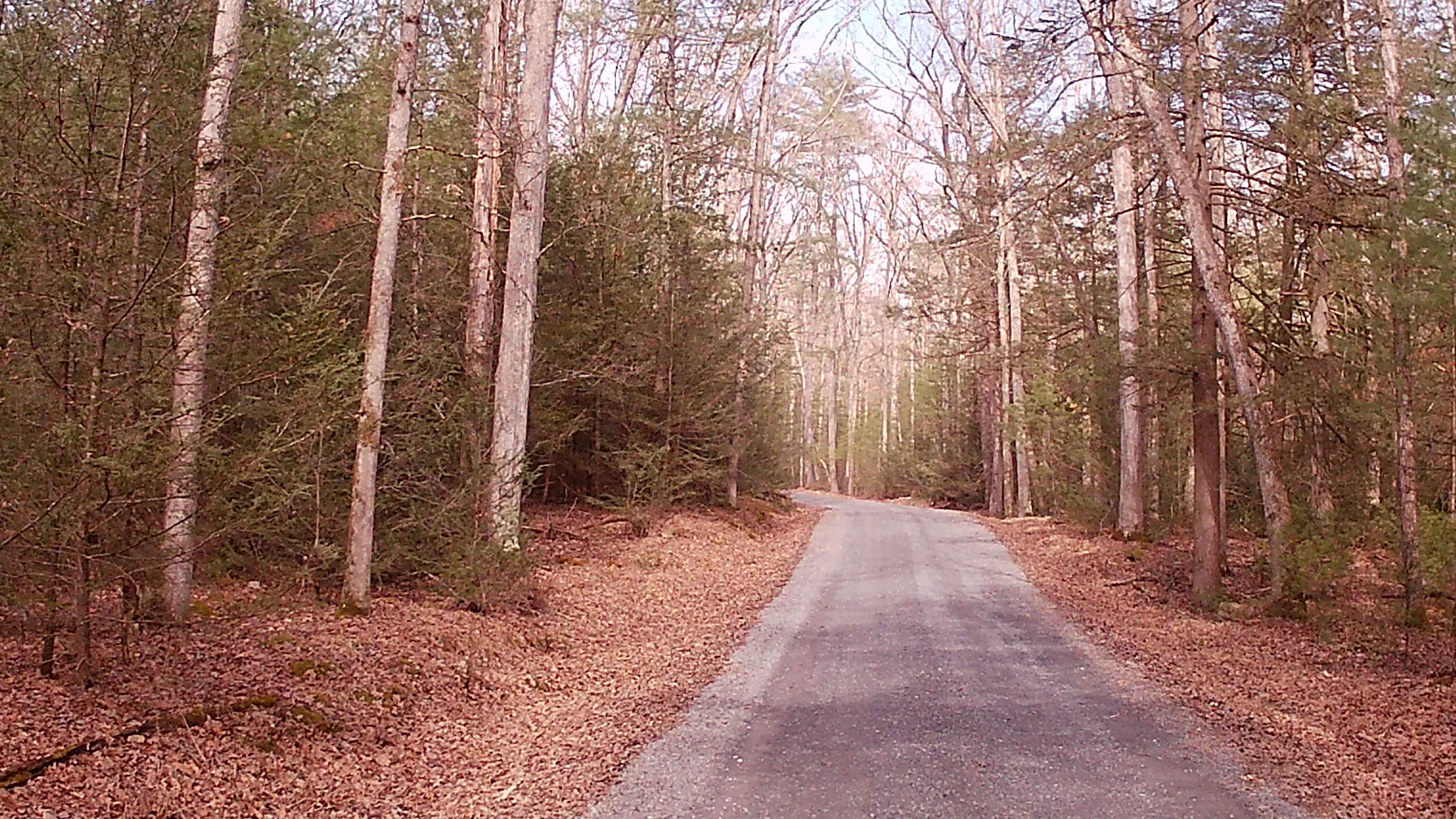
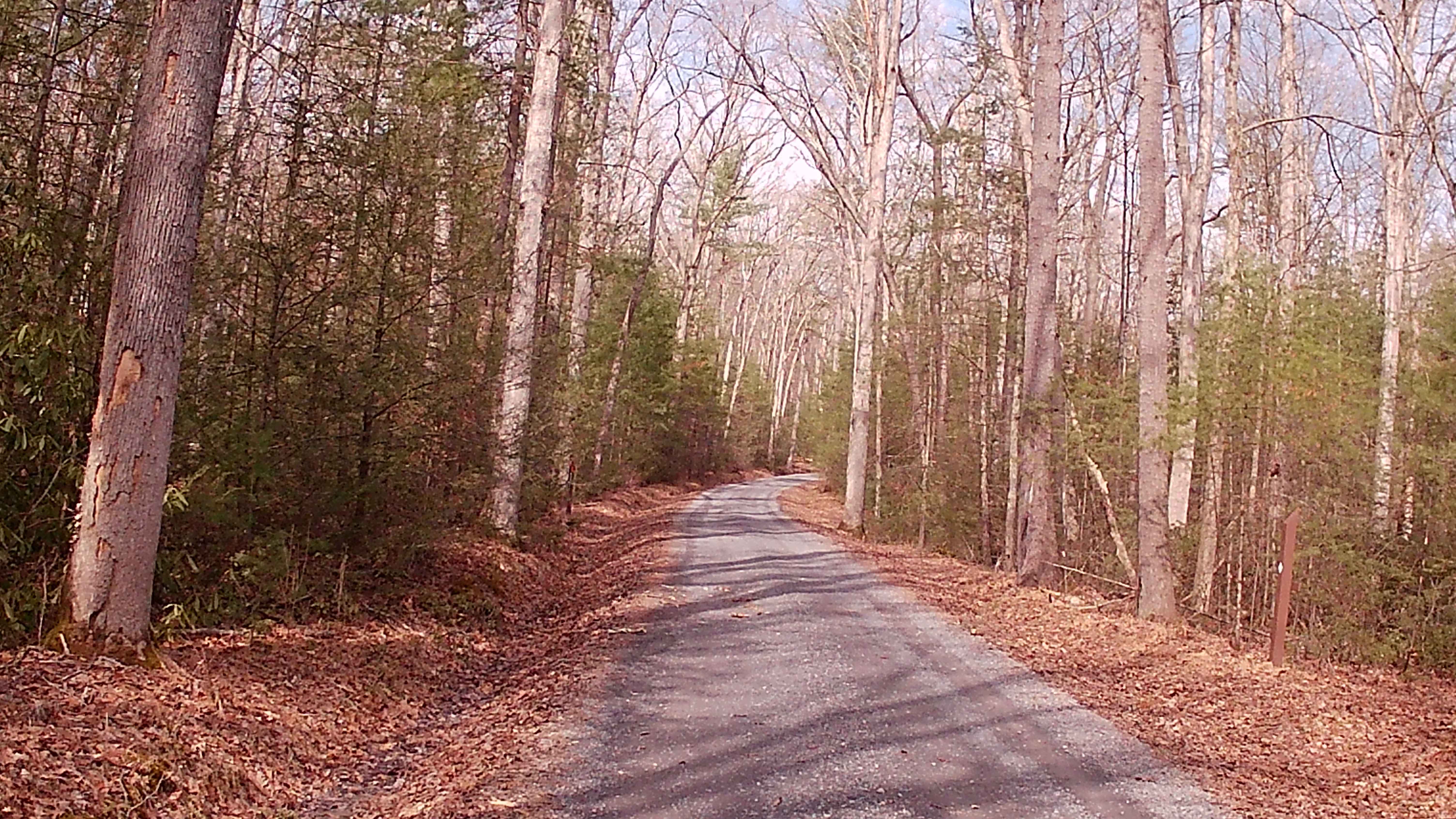
Stone Creek Road resides near the Alan Seeger Road and park with Pavilions. This road ties into Coopers Gap Road. There is plenty of parking, especially at the trailhead and end of this trail. The Trail is an in-and-out, typical graded gravel trail within Rothrock State Forest. Two hiking trails off this trail are the Long Mountain Trail and Ross Trail. The trail is set deep into the woods with lots of thick pine trees and big timber providing an abundance of food and shelter for local wildlife. This trail is easily accessible during the warmer months and is more difficult to travel in winter due to snow and ice, and no winter maintenance.
Photos of Stone Creek Road
Difficulty
This trail is easily accessible during the warmer months, and more difficult to traverse in winter due to snow and ice.
History
Stone Creek Road lies along the historic Standing Stone Creek corridor, known for early Native American paths. The creek and the vicinity of the road are named for a 14 - foot stone pillar that served as a landmark for early travelers. The road was used for mining and iron production in the 1800s. 19th-century heavy logging in the area of this trail has recovered into the current state forest, including nearby protected areas like the Alan Seeger Natural Area.
Status Reports
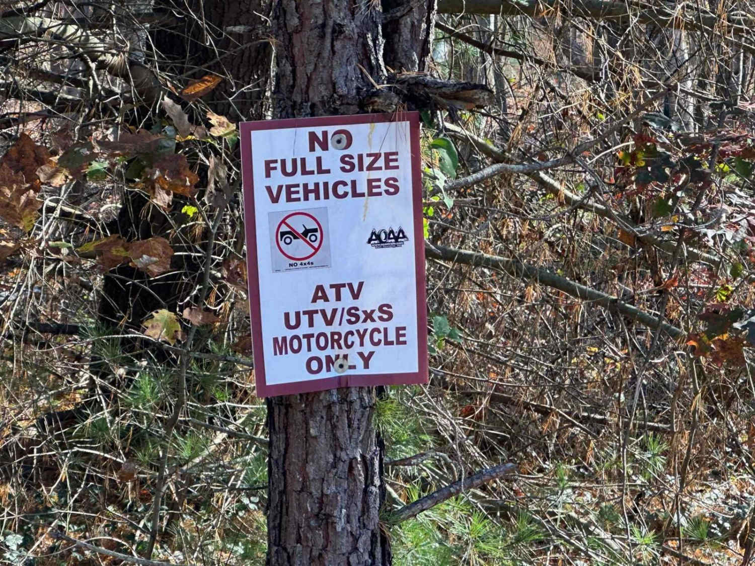
Stone Creek Road can be accessed by the following ride types:
- High-Clearance 4x4
- SUV
Stone Creek Road Map
Popular Trails

Horton Run Road
5 Bay Play Area - Rock Run Recreation

Rock Creek Red
The onX Offroad Difference
onX Offroad combines trail photos, descriptions, difficulty ratings, width restrictions, seasonality, and more in a user-friendly interface. Available on all devices, with offline access and full compatibility with CarPlay and Android Auto. Discover what you’re missing today!