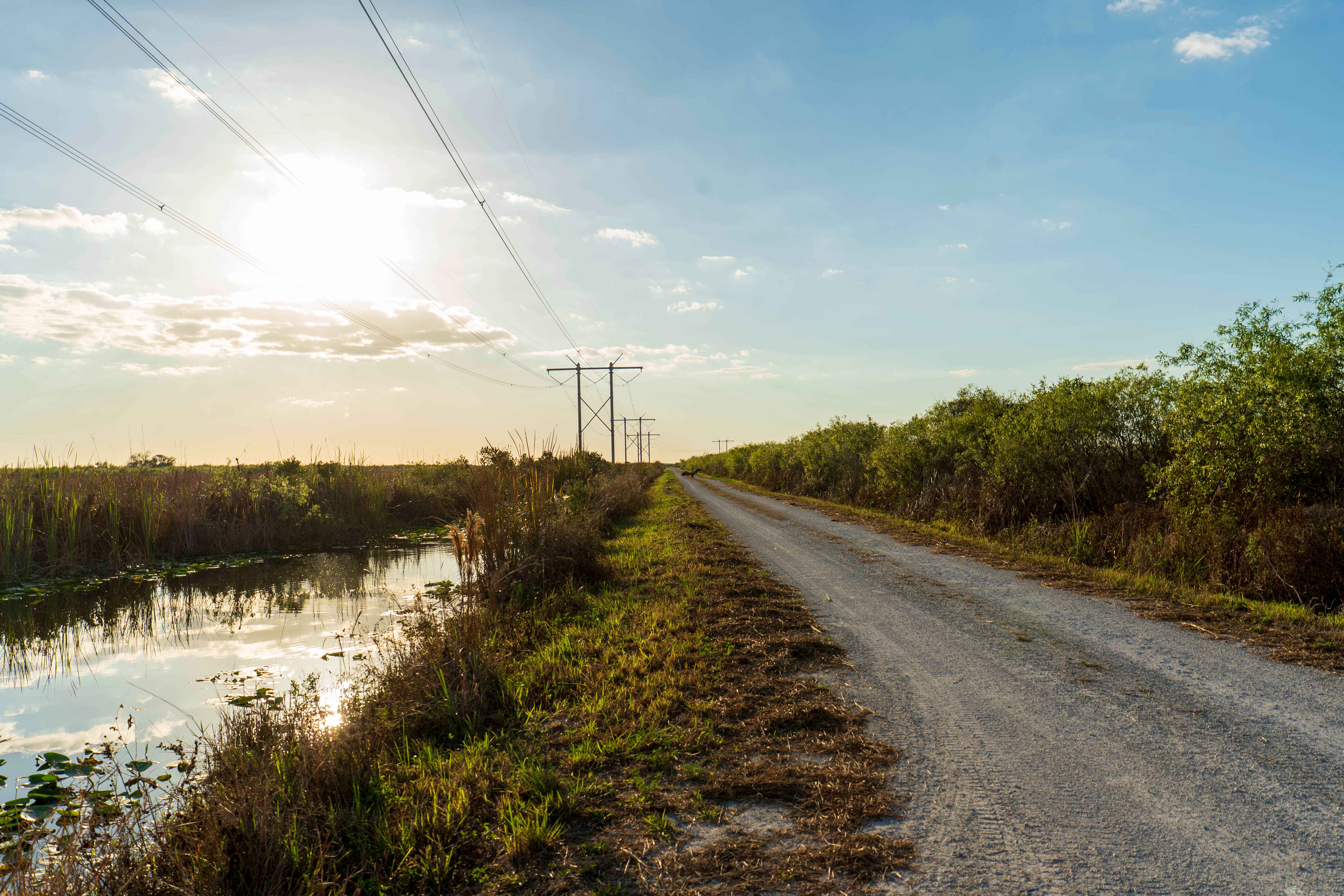
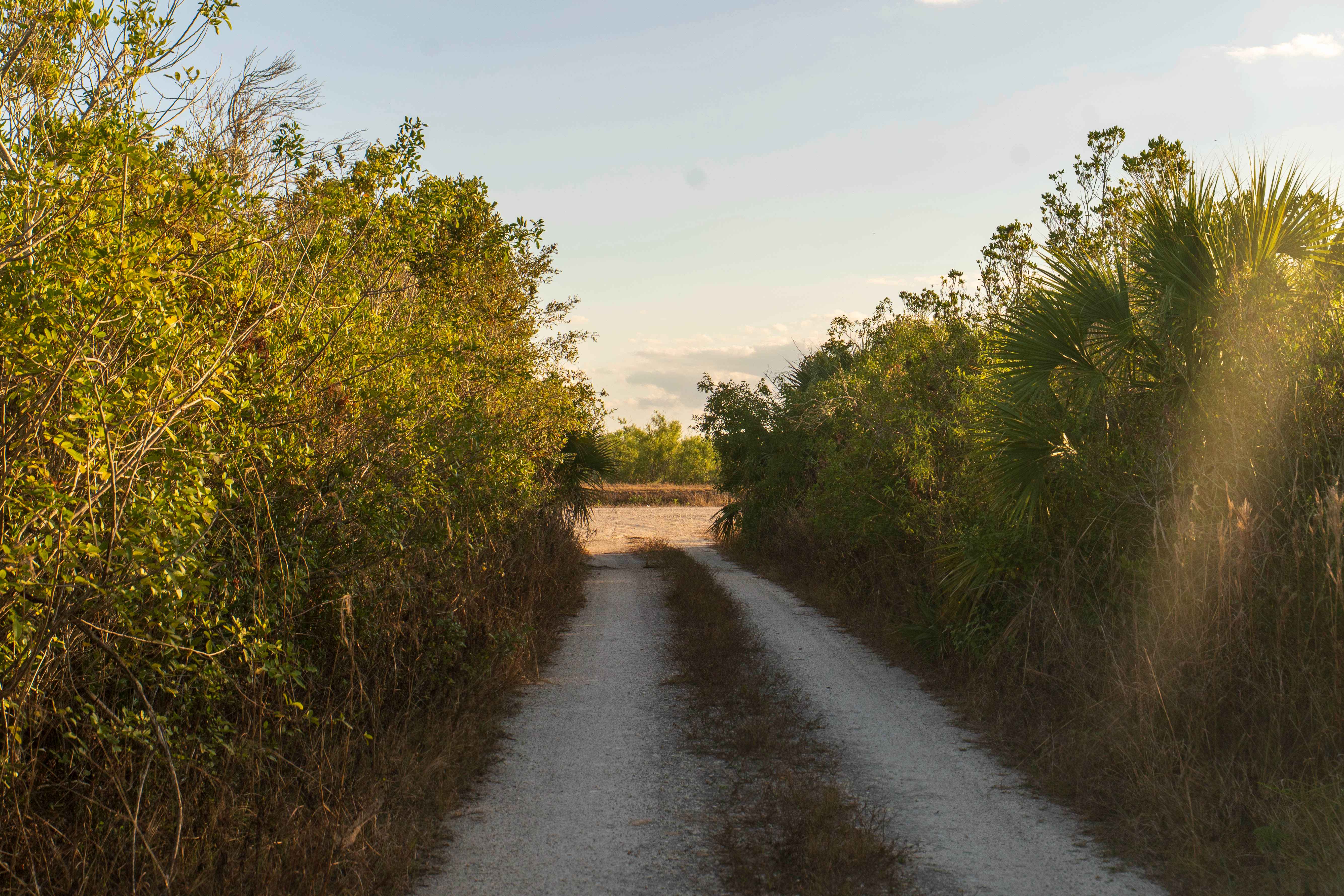
East Miami Canal
Total Miles
2.5
Technical Rating
Best Time
Summer, Fall, Winter, Spring
Trail Type
Full-Width Road
Accessible By
Trail Overview
The East Miami Canal runs east of the main canal corridor and leads directly to a public boat ramp. The surface consists primarily of hardpack dirt and sand with scattered rocks, and multiple narrow one-lane roads branch off to connect different sections of the area. These side roads create a network of access points but require attention due to limited passing space. Conditions are generally firm in dry weather, though rain can soften the surface and create muddy patches. There are no designated staging areas, bathrooms, campsites, permits, or fees. Traffic increases on weekends due to boat activity. Cell service is typically available, and the surrounding canal environment supports a wide range of South Florida wildlife.
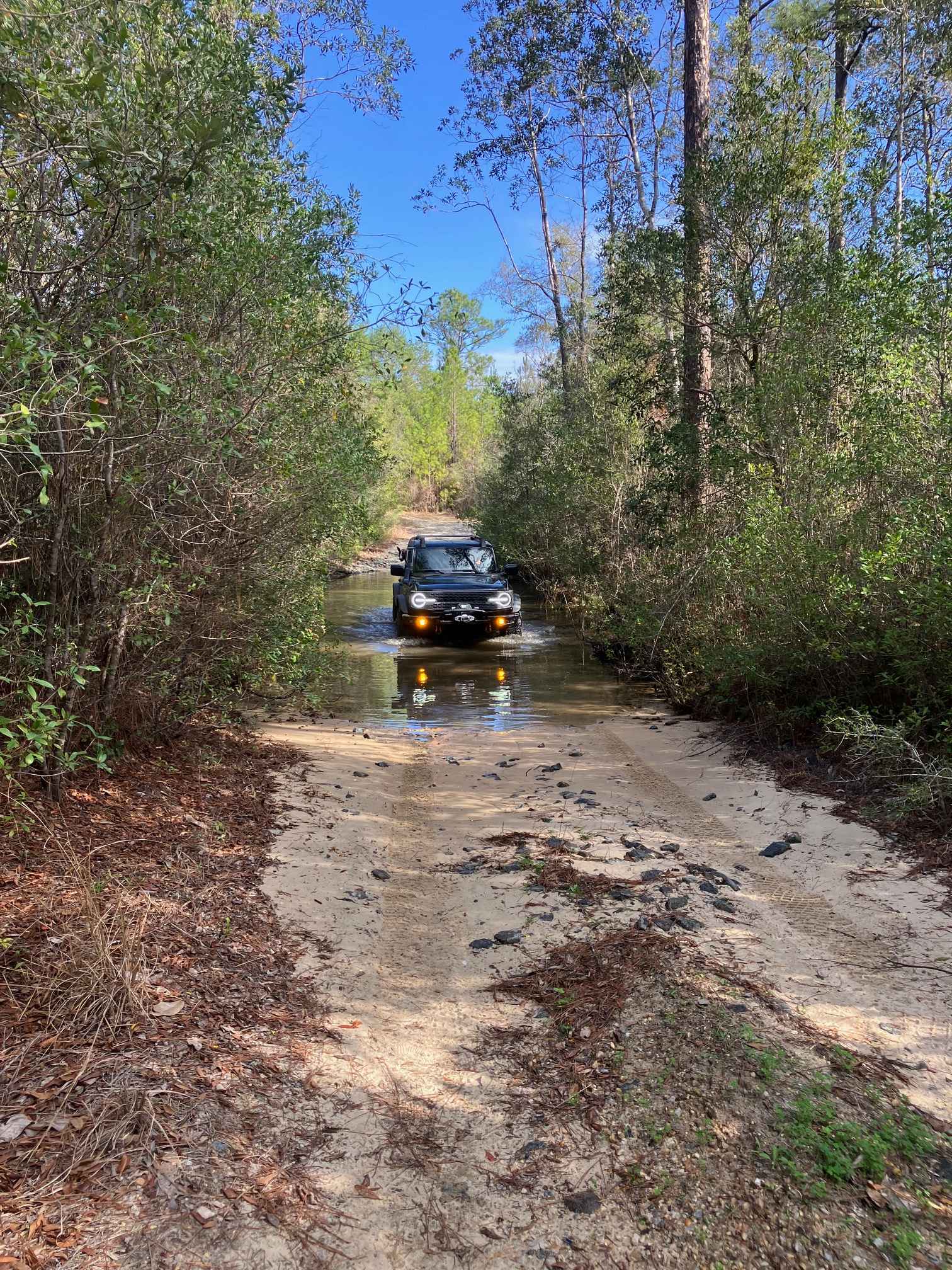
Photos of East Miami Canal
Difficulty
Easy trail, but it can become more difficult if it has recently rained.
Status Reports
East Miami Canal can be accessed by the following ride types:
- High-Clearance 4x4
- SUV
- SxS (60")
- ATV (50")
- Dirt Bike
East Miami Canal Map
Popular Trails


Little Tokyo - ONF 37

County Line Road
Yellow River Route
The onX Offroad Difference
onX Offroad combines trail photos, descriptions, difficulty ratings, width restrictions, seasonality, and more in a user-friendly interface. Available on all devices, with offline access and full compatibility with CarPlay and Android Auto. Discover what you’re missing today!