Courtois Cemetery - FS 2878
Total Miles
1.0
Technical Rating
Best Time
Spring, Summer, Fall, Winter
Trail Type
Full-Width Road
Accessible By
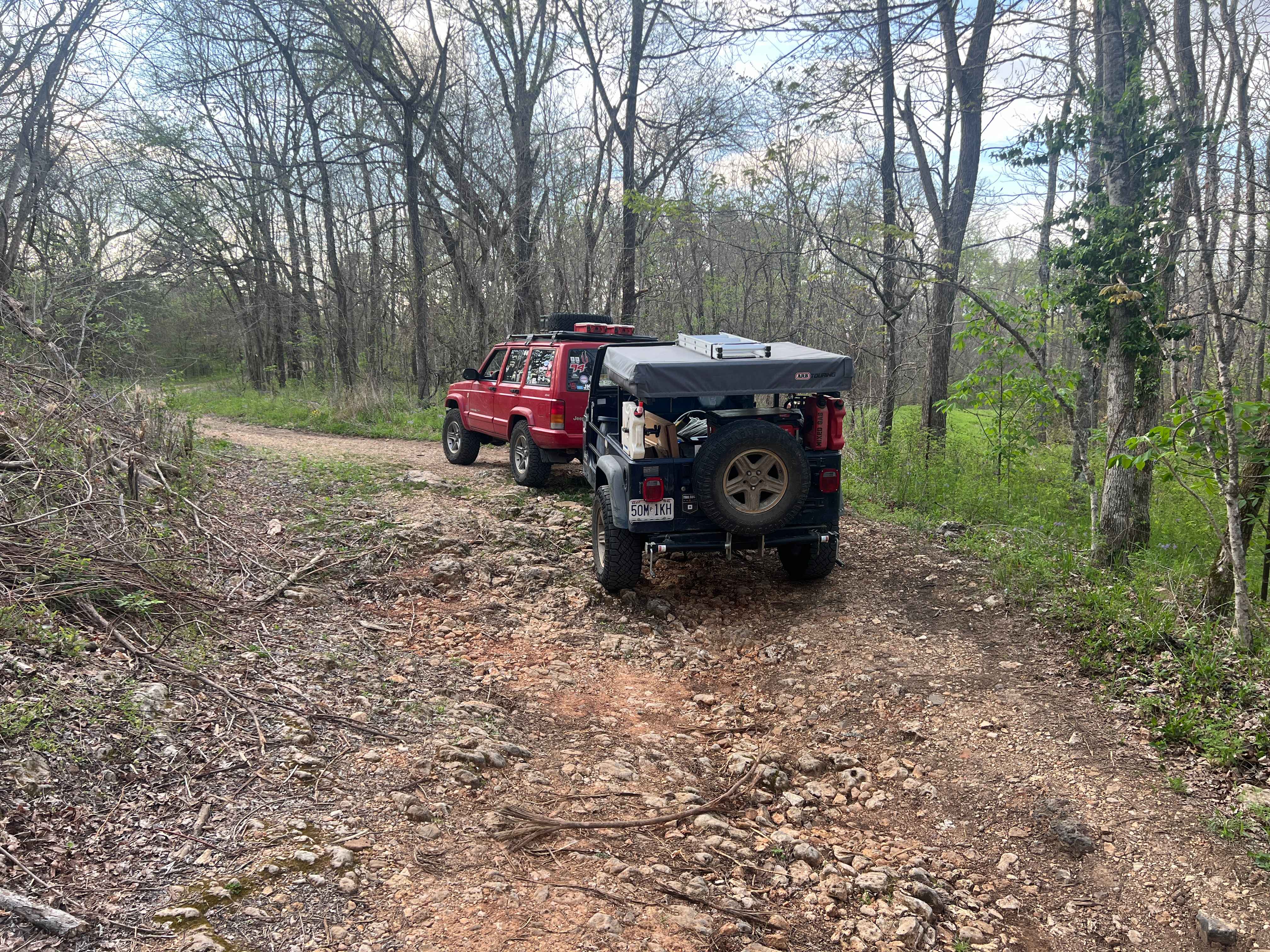
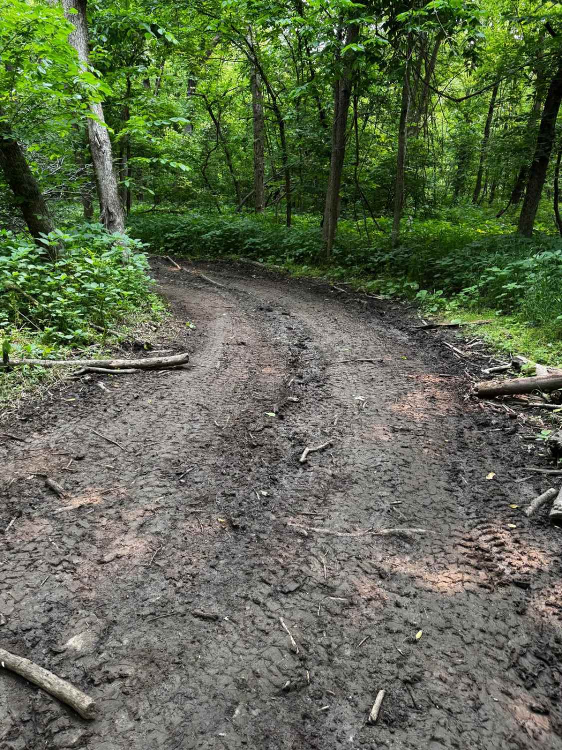
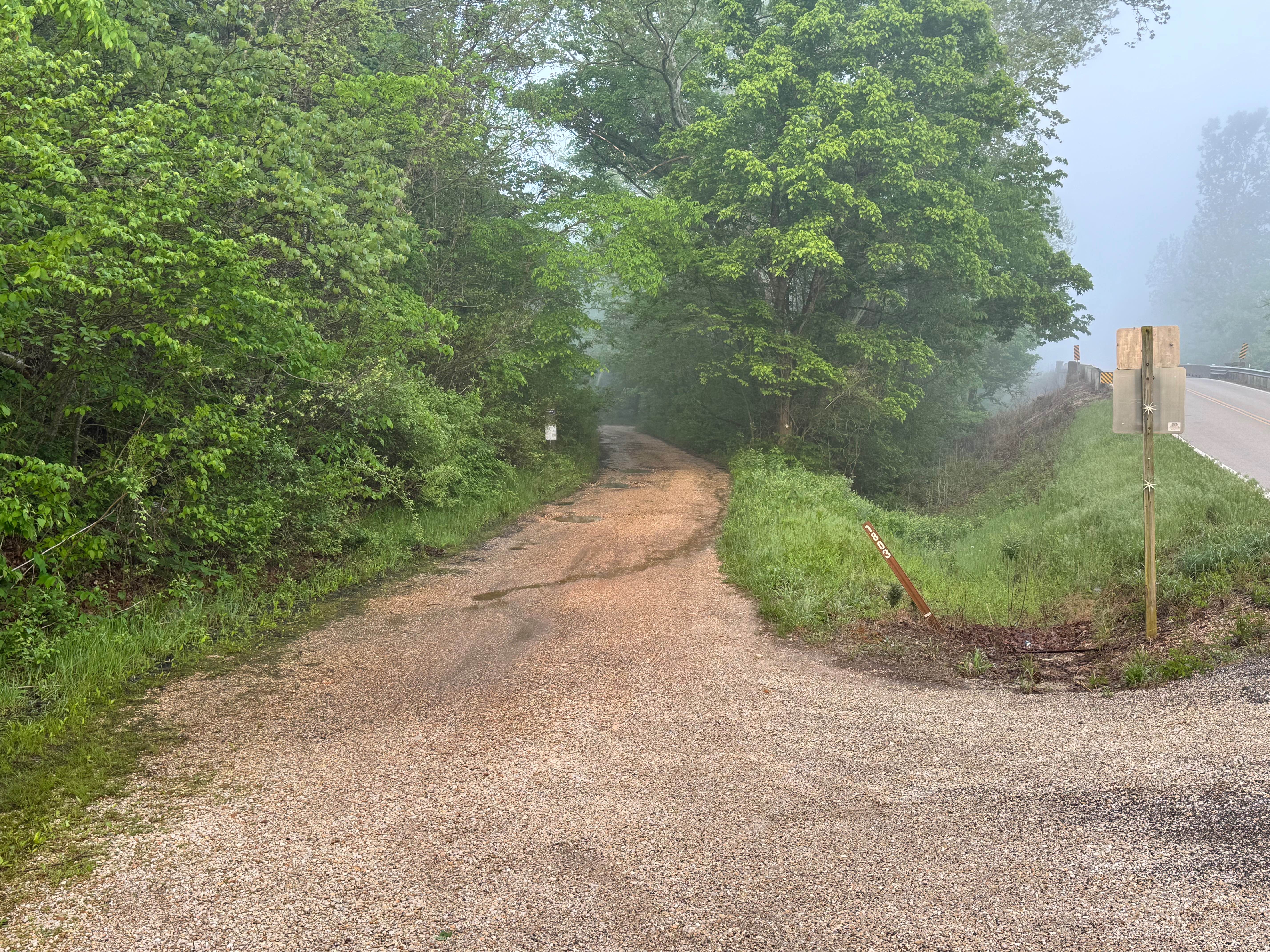
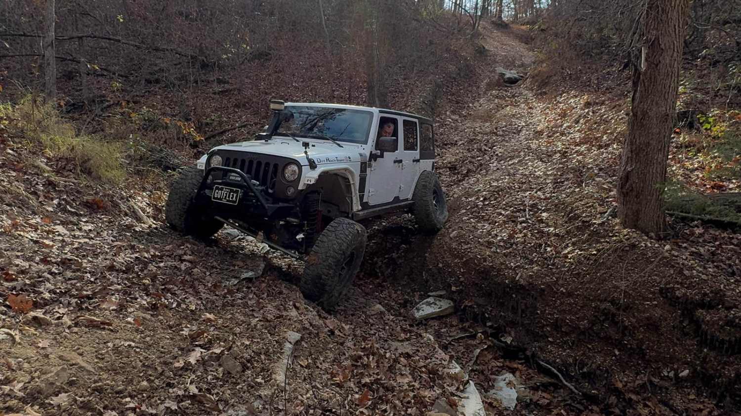
Trail Overview
Courtois Cemetery (FS 2878) is a nature gravel and dirt forest service road within the Potosi Unit of Mark Twain National Forest. Courtios (pronounced Coat-A-Way) Cemetery begins at Missouri Route 8 heading north, first crossing a low water bridge creek crossing, before arriving at the actual Courtois Cemetery, more modernly known as Berrymen Cemetery. Along the eastern gate of the Cemetery's boundary, is the beginning of the proper FS 2878, heading north, passing the cemetery while climbing slightly uphill, turning into a hillside road, overlooking the small water runoff area to the east along the open fields further east of that. This portion of the road rapidly transitions to a more natural terrain, with coarse gravel and natural rocks sticking out of the surface along this hillside road, continuing to the halfway point with small elevation changes, until it meets the first curve of the track, happening at the halfway point, here is a small former homestead featuring ruins of a home, garage, and spring house, laid out along a hillside and a spring and tailing pond. The road has some serious erosion at this point that can be driven around, with some minimal thinking involved. Next the road runs along the lower elevation of the track to a turn traversing a large formation of unlevel natural rock that forces users to pick a line over it, and it is pitted with parts of it sticking upward close to 12 inches above the surrounding rock, with is also right next to the former site of the Berryman School that existed on the west side of the road, it closed in the late 1930's. After this, the road makes its final jot northeast towards the Courtois Creek, passing several former offshoots of this road that are now abandoned and overgrown. In this section, the road rapidly turns into soft creek gravel, up to its conclusion at a little turnaround loop with views of a bend in the Courtois Creek. This loop is the legal end of the MVUM-sanctioned road. From here, users must turn around and head back the way they came in, or continue on foot within the public boundaries of the Mark Twain land if following the path going further northeast.
Photos of Courtois Cemetery - FS 2878

Difficulty
Courtois Cemetery is given a base rating of 2/10 for having a small low water splash level crossing, followed by loose coarse gravel and scattered cobbles, natural rock poking out of the surface, small water collection spots, crossing mild erosion rutting, traversing a n unlevel rock formation that has roughly 12" variance in spots, and loose creek gravel towards the end of the track and at the turnaround loop. It is also safe to expect potholes, washboarding, and mounding of the gravel along the track. Difficulty could increase during wet conditions, inclement weather, through a lack of maintenance, or heavy use.
History
Formerly known as Courtois Cemetery, Berryman Cemetery is the final resting place of 438 souls (as of 5/2026), with lives spanning from 1782 to 2025, with the first burial being in 1840. Please respect those lives who came before us, leave the cemetery as or better than it was found. --- At the rock formation turn in the road near the northern end, once existed the Berryman School, when looking at old topo maps this showed in the 1943 edition, but map updates since dropped its designation, leading to the belief it existed in the early 1900's to the late 1930's before the reorganization of the local school districts around 1940 --- On March 15th of 2025, a local nonprofit called Heartland Trail Trash performed a clean up in the Potosi Unit of Mark Twain, specifically from the Courtois Cemetery FS 2878, the cleaning up collected a trash bag of litter, and 10 tires, one of which was located in the spring pond to the east of the old homestead at the midway point. After this road was cleaned, the operation moved westward on Route 8 to the Courtois Creek Roadside Park, where approximately 250 tires were removed from the first 200 feet of the steep ravine using snatch blocks and winch cables to pull the tires back to the top to be hauled off responsibly. Despite those numbers, many tires were still left in the ravine. This led up to planning of a second attempt to clean the ravine, which fell on the date of March 21st, 2026, with Heartland Trail Trash returning to take an additional 117 tires out of the ravine, of which 27 were commercial/semi truck-sized tires. These tires were dragged approximately 350 feet from the bottom of the ravine to the top of the park; the only tires remaining in the ravine would require machinery to be removed as they are deeply buried in soil. Documented by Christopher Menz in 5/2026.
Status Reports
Courtois Cemetery - FS 2878 can be accessed by the following ride types:
- High-Clearance 4x4
- SUV
- SxS (60")
- ATV (50")
- Dirt Bike
Courtois Cemetery - FS 2878 Map
Popular Trails
Spring Creek - FS 1803

Commitment Hill Climb 1
The onX Offroad Difference
onX Offroad combines trail photos, descriptions, difficulty ratings, width restrictions, seasonality, and more in a user-friendly interface. Available on all devices, with offline access and full compatibility with CarPlay and Android Auto. Discover what you’re missing today!