North Miami Canal Connect
Total Miles
16.3
Technical Rating
Best Time
Summer, Winter, Fall, Spring
Trail Type
Full-Width Road
Accessible By
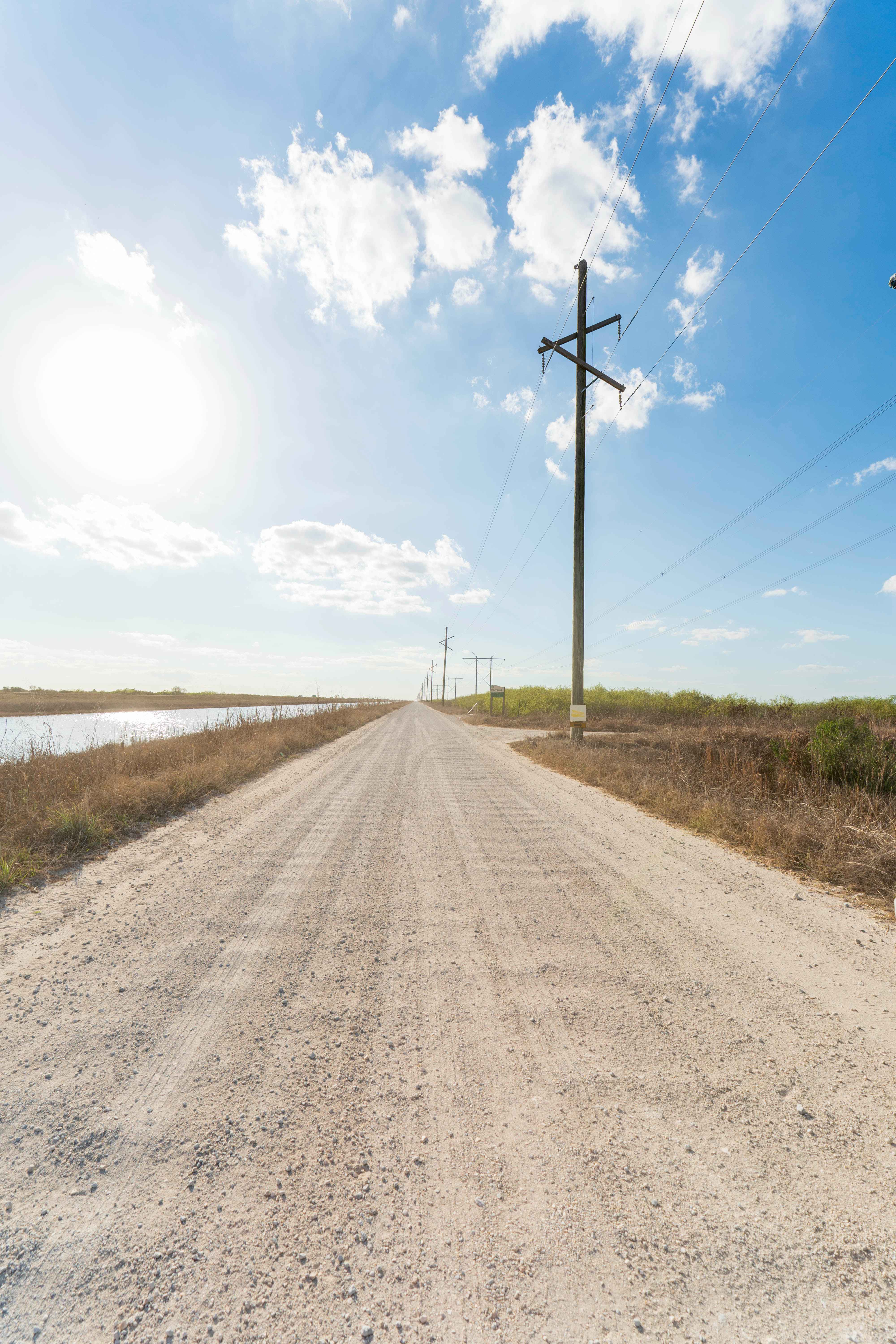
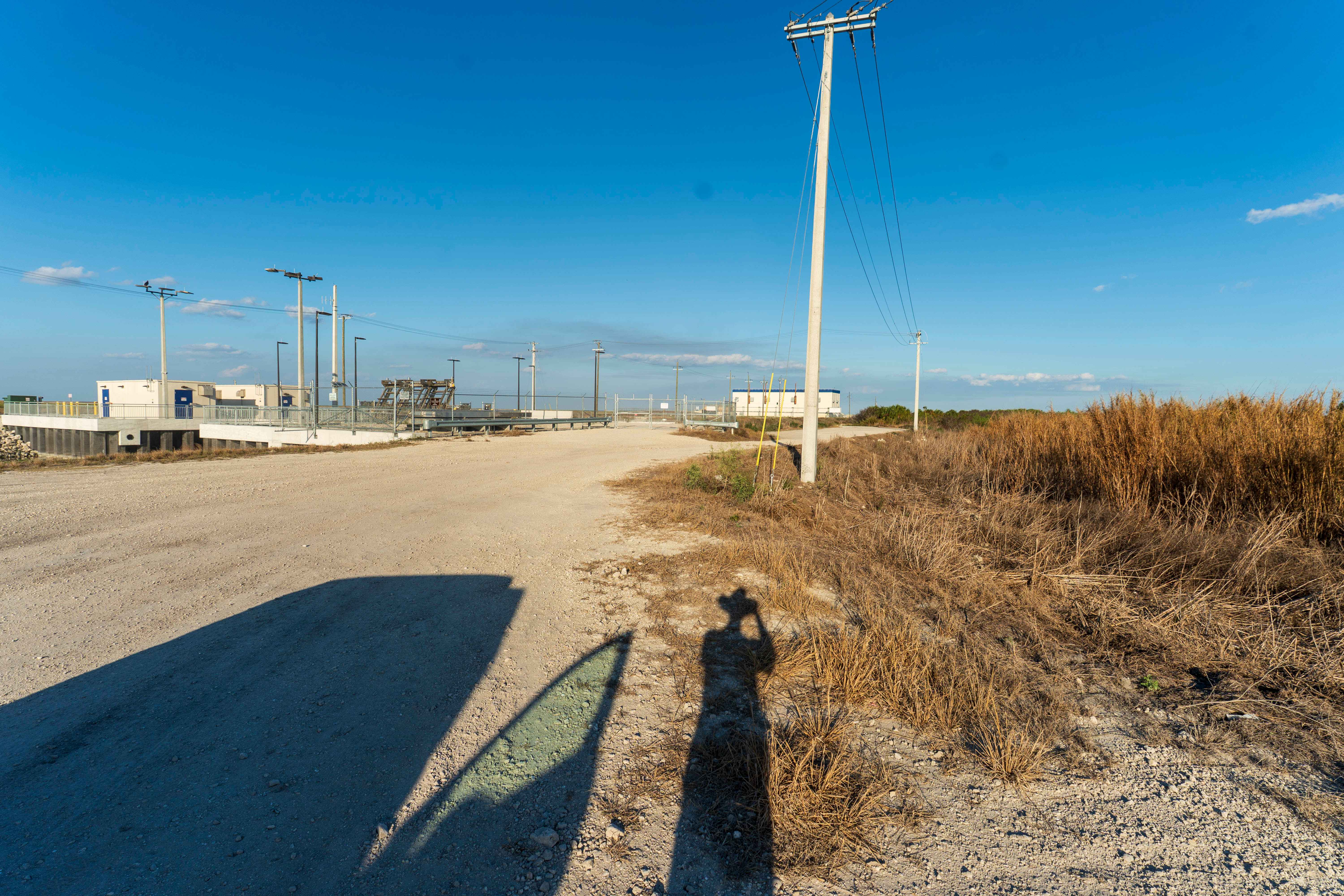
Trail Overview
North Miami Trail Connect runs along a canal corridor and leads to a public boat ramp. The surface is primarily dirt and sand and can become muddy in low-lying sections, especially after rain. Conditions vary depending on recent weather. The route follows the waterway closely and provides access to multiple shoreline pull-offs commonly used for fishing. There are no designated staging areas, bathrooms, campsites, permits, or fees, though informal parking is available near the ramp and along wider sections of the corridor. Weekend traffic tends to increase due to boaters and anglers. Cell service is generally available, and the canal environment supports a variety of South Florida wildlife.
Photos of North Miami Canal Connect
Difficulty
This trail is mostly straight and easy to navigate under normal conditions. Mud and wildfire damage can increase difficulty depending on seasonal weather and current conditions, requiring caution in affected areas.
Status Reports
North Miami Canal Connect can be accessed by the following ride types:
- High-Clearance 4x4
- SUV
- SxS (60")
- ATV (50")
- Dirt Bike
North Miami Canal Connect Map
Popular Trails


Mercer - FS 187

Ocala National Forest Road 8
The onX Offroad Difference
onX Offroad combines trail photos, descriptions, difficulty ratings, width restrictions, seasonality, and more in a user-friendly interface. Available on all devices, with offline access and full compatibility with CarPlay and Android Auto. Discover what you’re missing today!