Summer Lake
Total Kilometers
53.1
Technical Rating
Best Time
Summer
Trail Type
Full-Width Road
Accessible By
Trail Overview
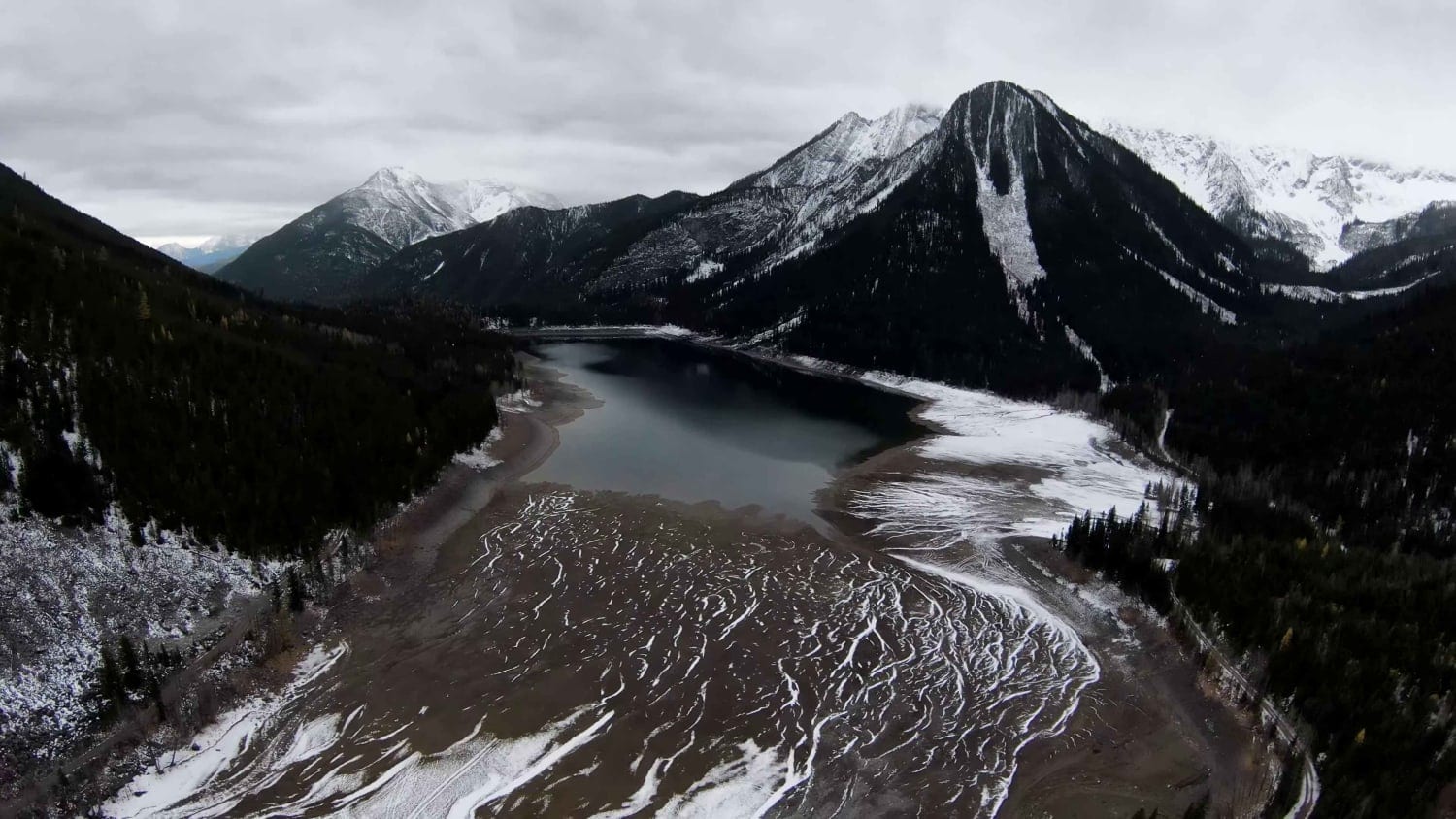
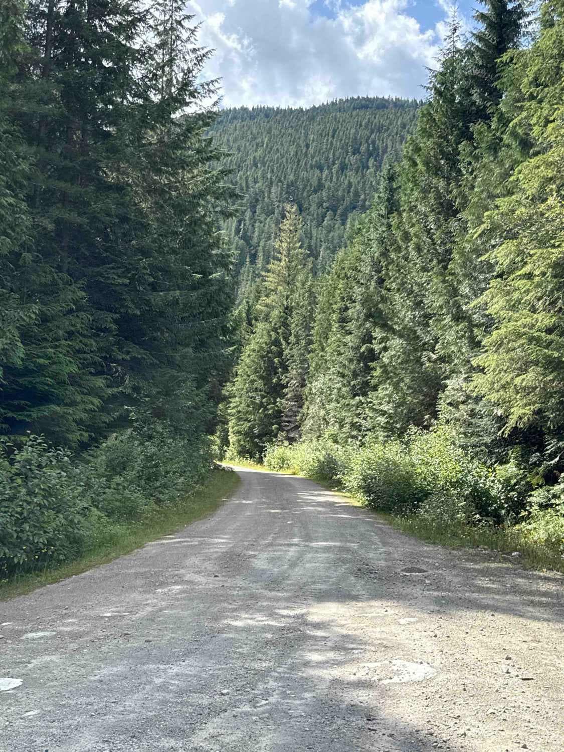
Summer Lakes is an amazing lake hidden behind Mount Fisher. Summer Lake has a free public recreation site with camping areas. You will need to bring a VHF Radio as the roads are narrow in sections and you must call depending on the instructions posted by the logging services at the start. Following alongside the Bull River, you travel up a well-maintained Forest Service Road (FSR). At around 17 miles (27 kilometers), the Bull River FSR splits and you want to follow the Summer Lake FSR. Once on the Summer Lake FSR, the road is maintained but to a lower level, so expect some holes, washboards, ruts, and fallen rock on the trail. At the 22-mile (35-kilometer) mark, you will start to gain elevation to the lake. It's 3,740 feet at 22 miles, and 5,040 feet at 32 miles. Non-4WD vehicles would be able to reach this lake for the majority of the summer months. The colder months would need 4WD, as the elevation brings in the snow on the trail. When the water level of the lake is low, be careful driving around the lake as you can end up bogged in.
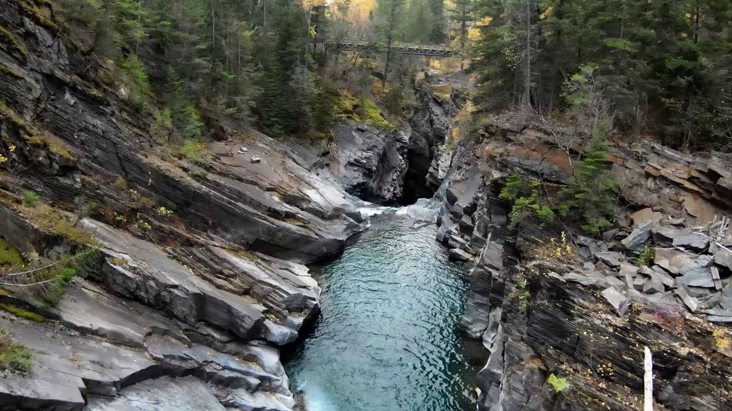
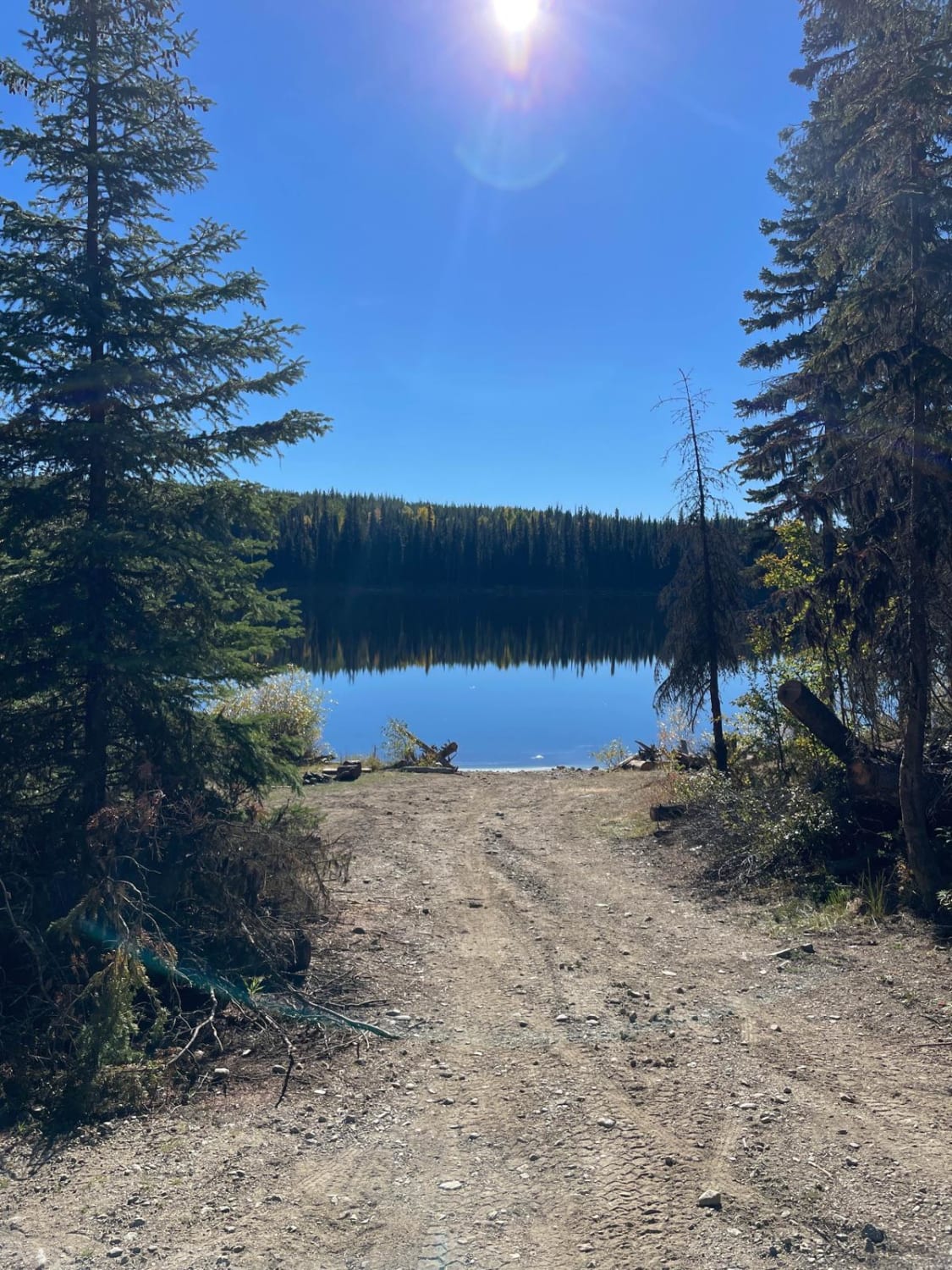
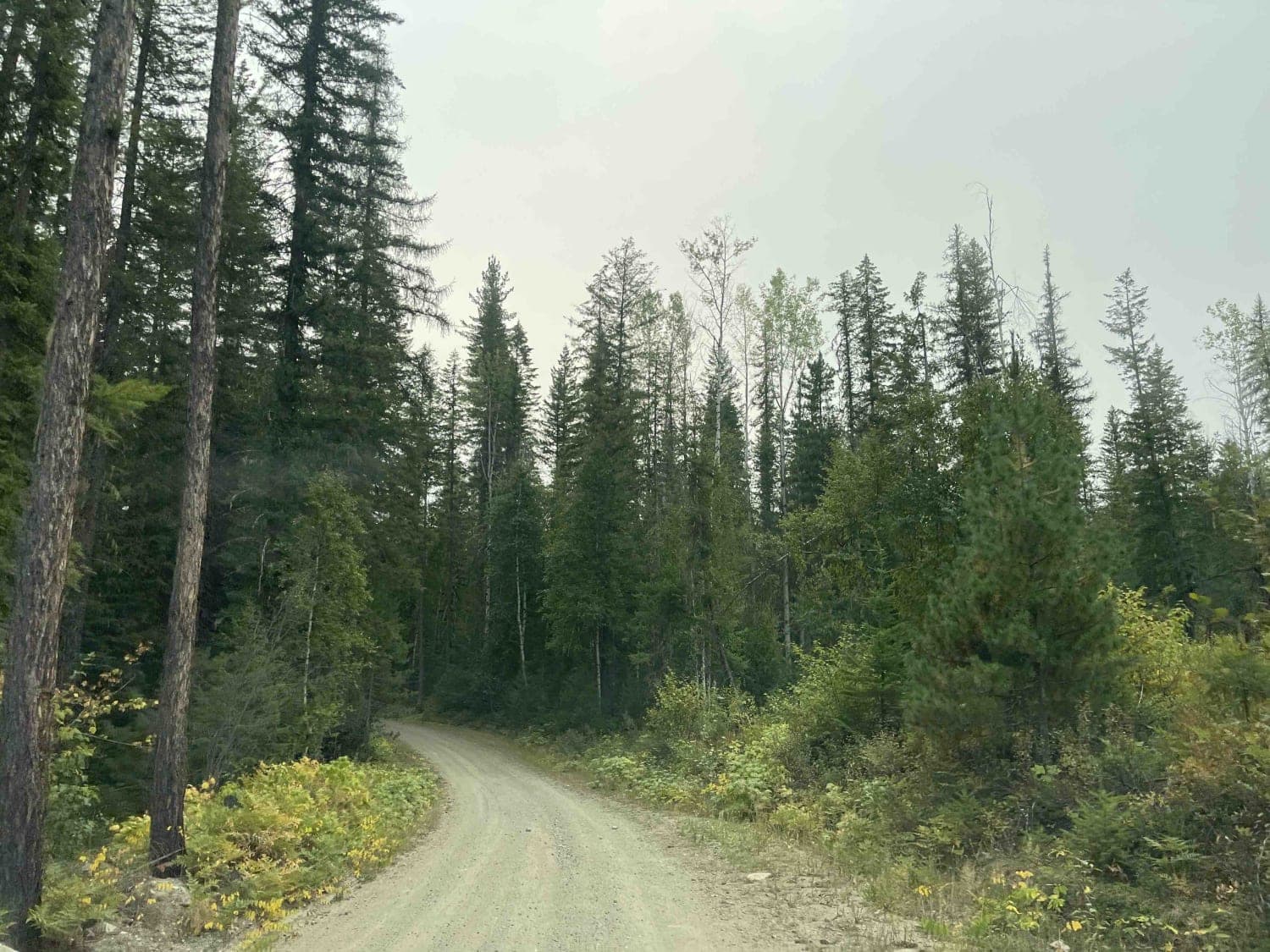
Photos of Summer Lake
Difficulty
These narrow (single-wide) shelf roads have no space for passing. You would possibly need to back out to let someone through.
Status Reports
Summer Lake can be accessed by the following ride types:
- SUV
Summer Lake Map
Popular Trails
Beaver Lake Road to Haddo Lake Rec Site
Stevens FSR
Ratchford Road

Burnell Lake Road
The onX Offroad Difference
onX Offroad combines trail photos, descriptions, difficulty ratings, width restrictions, seasonality, and more in a user-friendly interface. Available on all devices, with offline access and full compatibility with CarPlay and Android Auto. Discover what you’re missing today!