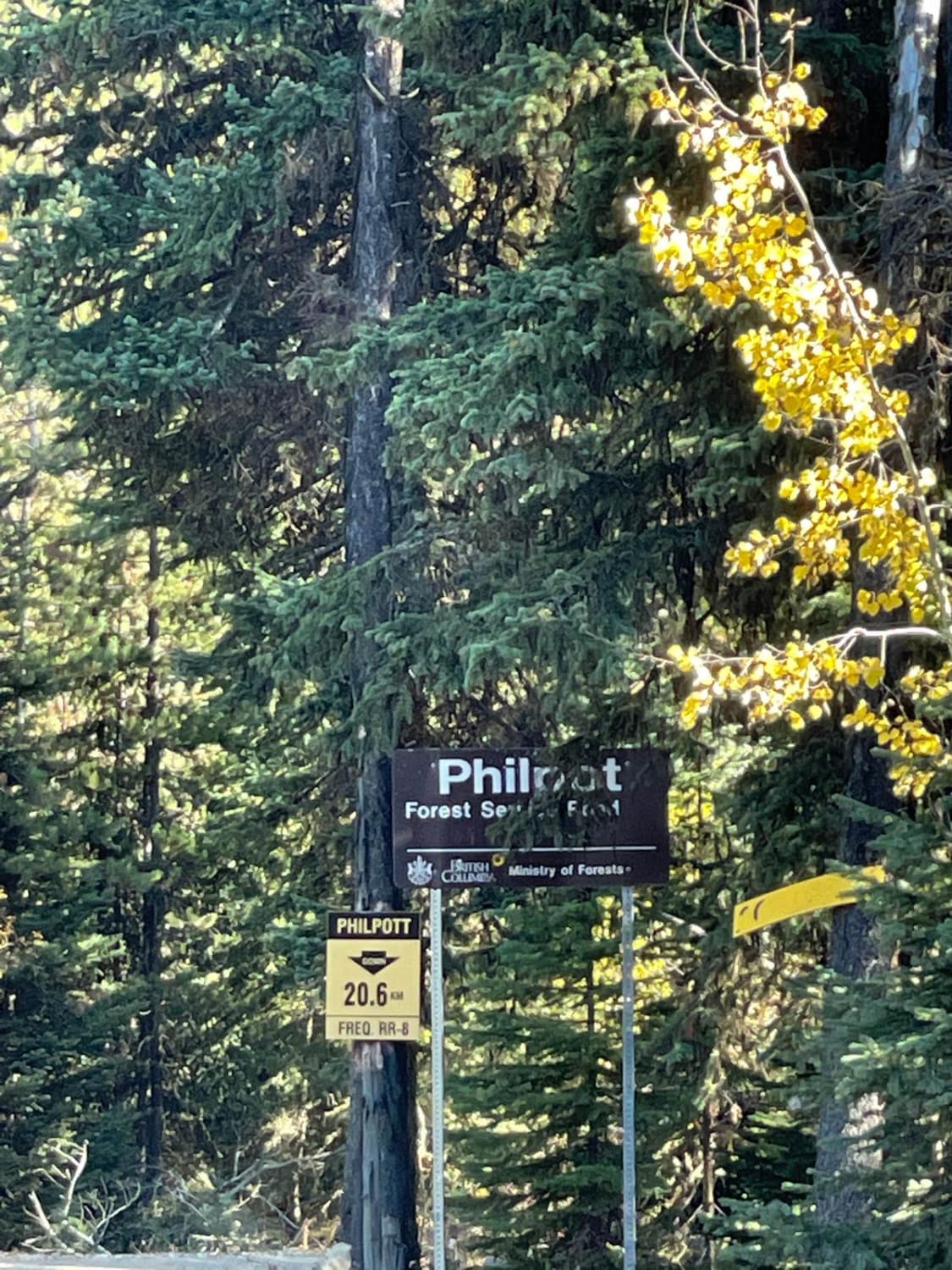
Philpot FSR - Ideal Lake to Highway 33
Total Kilometers
14.2
Technical Rating
Best Time
Spring, Summer, Fall, Winter
Trail Type
High-Clearance 4x4 Trail
Accessible By
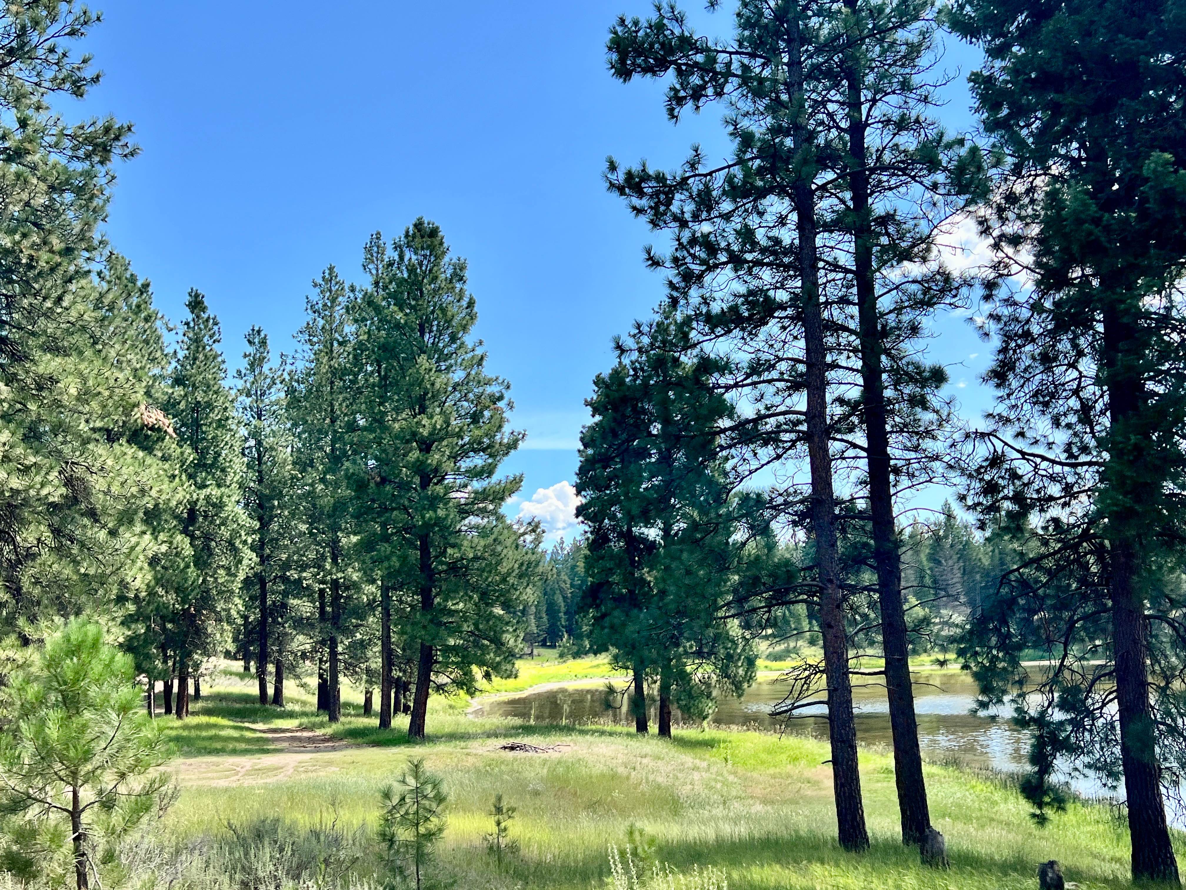
Trail Overview
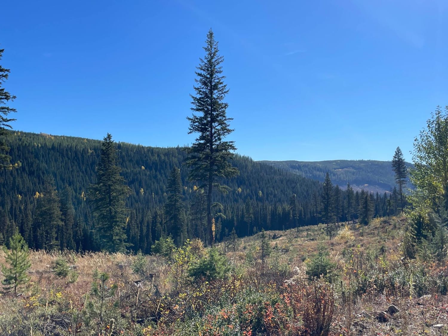
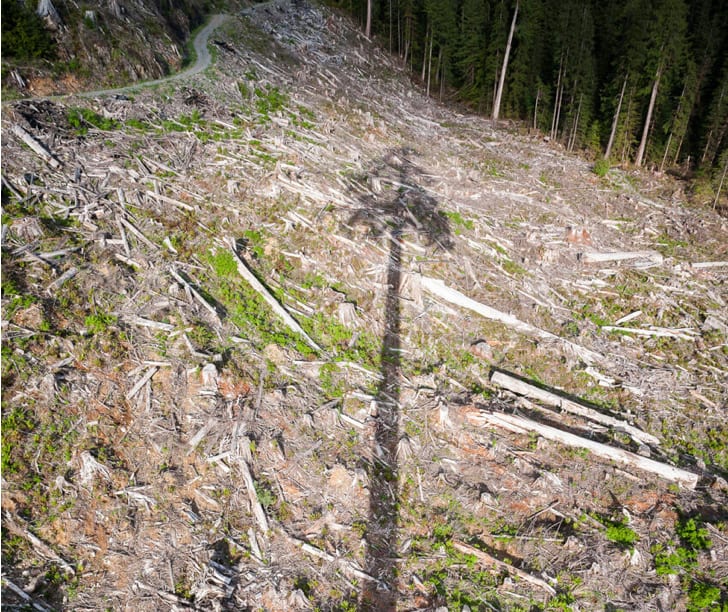
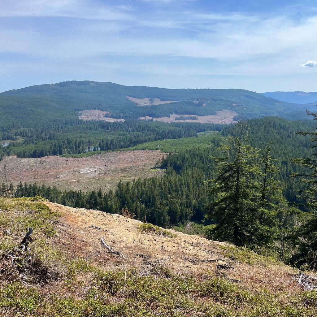
Philpot FSR is another very rough trail, mostly due to the washboard, so air down your tires to help provide a more comfortable ride for you and your passengers. It will also ease some of the wear and tear on your rig. There are great views as you head south, as you are going from about 1,250 meters in elevation down to 950 meters. In the fall, there are some colorful, amazing views as the leaves change. There is no cell coverage this entire road. The road does become paved about 8 kilometers from Highway 33.
Photos of Philpot FSR - Ideal Lake to Highway 33
Difficulty
There are many washboards.
Status Reports
Philpot FSR - Ideal Lake to Highway 33 can be accessed by the following ride types:
- High-Clearance 4x4
- SxS (60")
- ATV (50")
- Dirt Bike
Philpot FSR - Ideal Lake to Highway 33 Map
Popular Trails
Lonely Doug
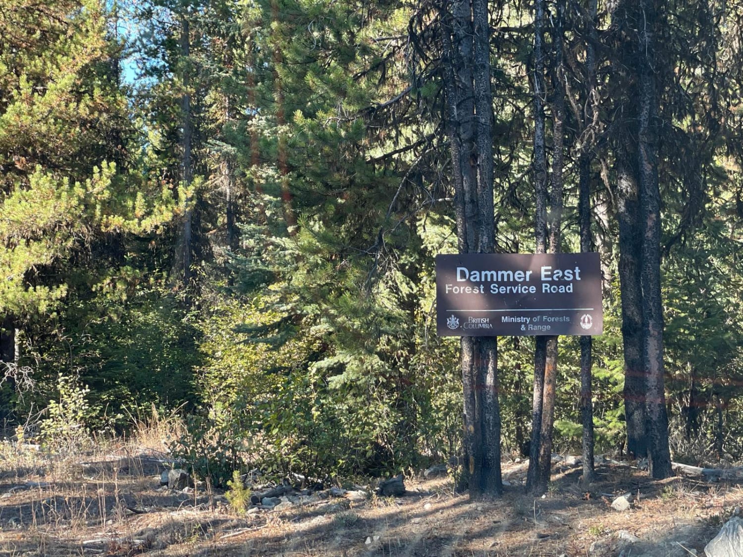
Damer Lake East
Mud Lake Loop
The onX Offroad Difference
onX Offroad combines trail photos, descriptions, difficulty ratings, width restrictions, seasonality, and more in a user-friendly interface. Available on all devices, with offline access and full compatibility with CarPlay and Android Auto. Discover what you’re missing today!