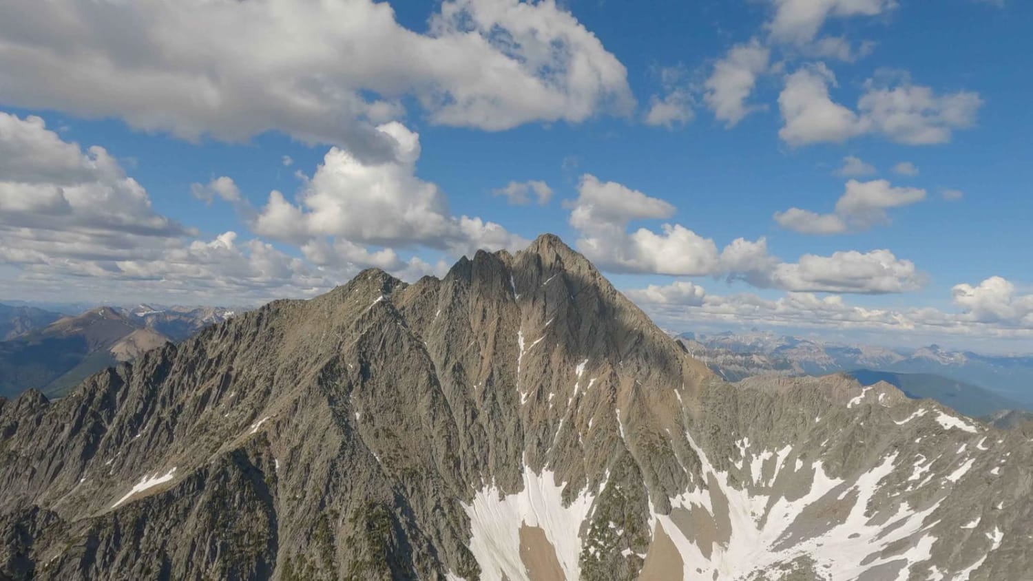
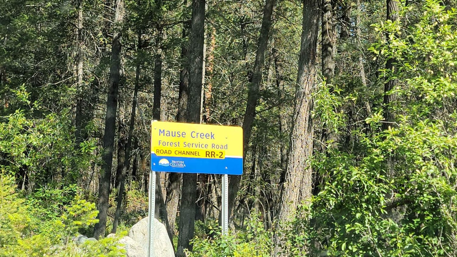
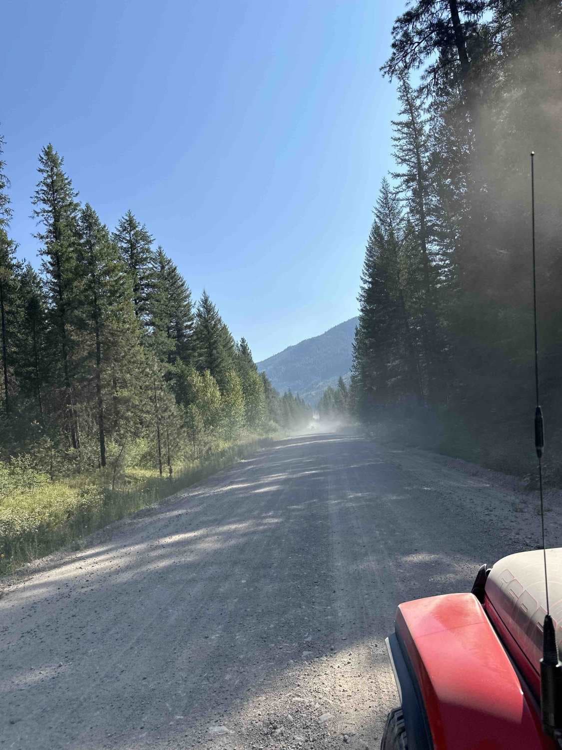
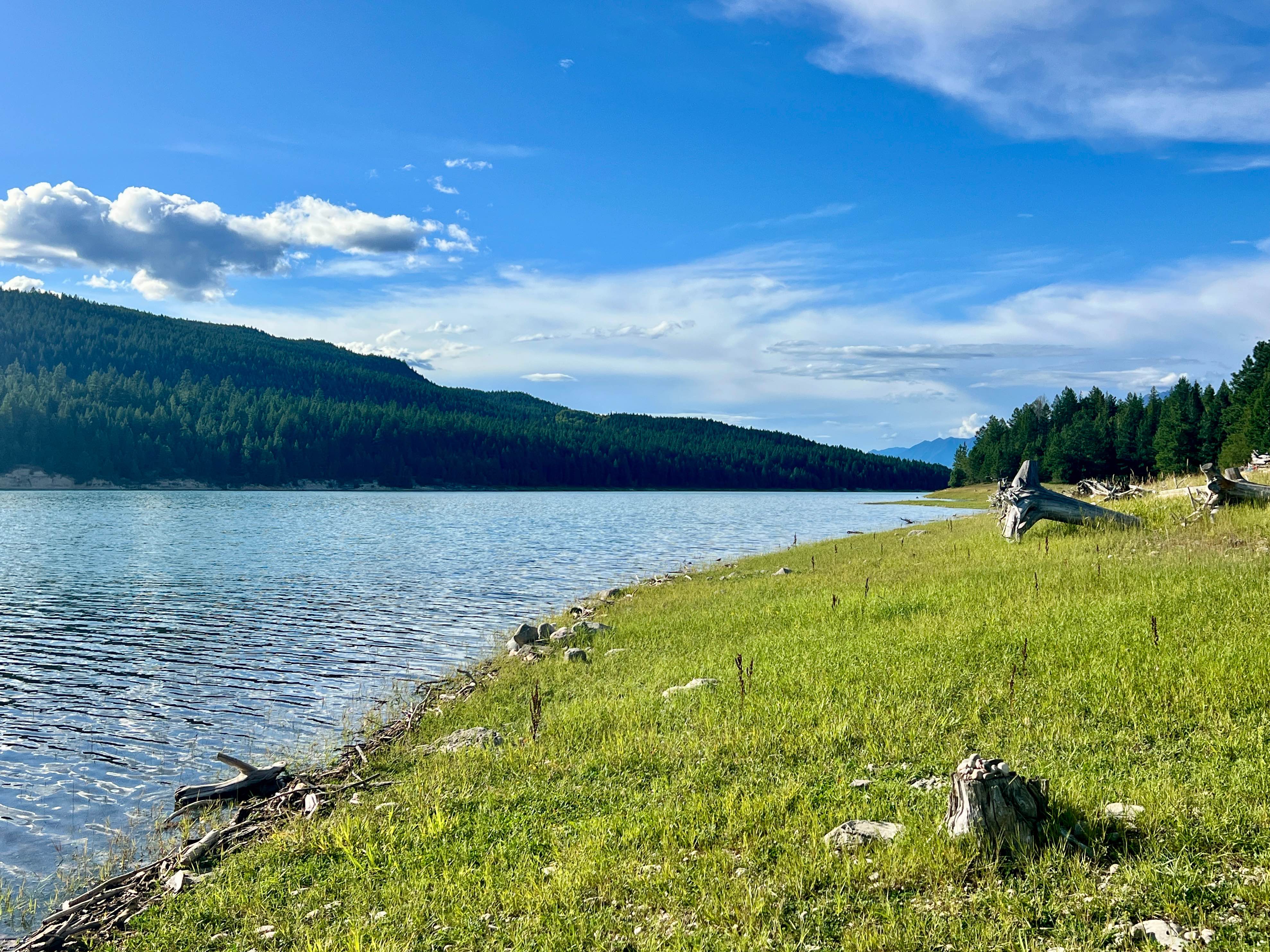
Mount Fisher / Mause Creek
Total Kilometers
13.3
Technical Rating
Best Time
Summer
Trail Type
High-Clearance 4x4 Trail
Accessible By
Trail Overview
This trail will take you to the parking area for the Fisher Peak Trailhead. This trial starts off on a well-maintained gravel road for approximately 2km, loose rocks, and deep ruts can be expected. There are a few stream crossings along this trail that a high clearance vehicle will be needed. This trail is tight in sections with limited space to allow someone through, watch out for fallen rocks and slides.
Photos of Mount Fisher / Mause Creek
Difficulty
This trail is very rocky in sections and short deep ruts so it's easy to high center. A few sections of the trail have been washed out.
Status Reports
Mount Fisher / Mause Creek can be accessed by the following ride types:
- High-Clearance 4x4
Mount Fisher / Mause Creek Map
Popular Trails
Burell Main

Not The 1st of July

Moore Lake Main
The onX Offroad Difference
onX Offroad combines trail photos, descriptions, difficulty ratings, width restrictions, seasonality, and more in a user-friendly interface. Available on all devices, with offline access and full compatibility with CarPlay and Android Auto. Discover what you’re missing today!