Ideal Lake
Total Kilometers
2.0
Technical Rating
Best Time
Spring, Summer, Fall, Winter
Trail Type
High-Clearance 4x4 Trail
Accessible By
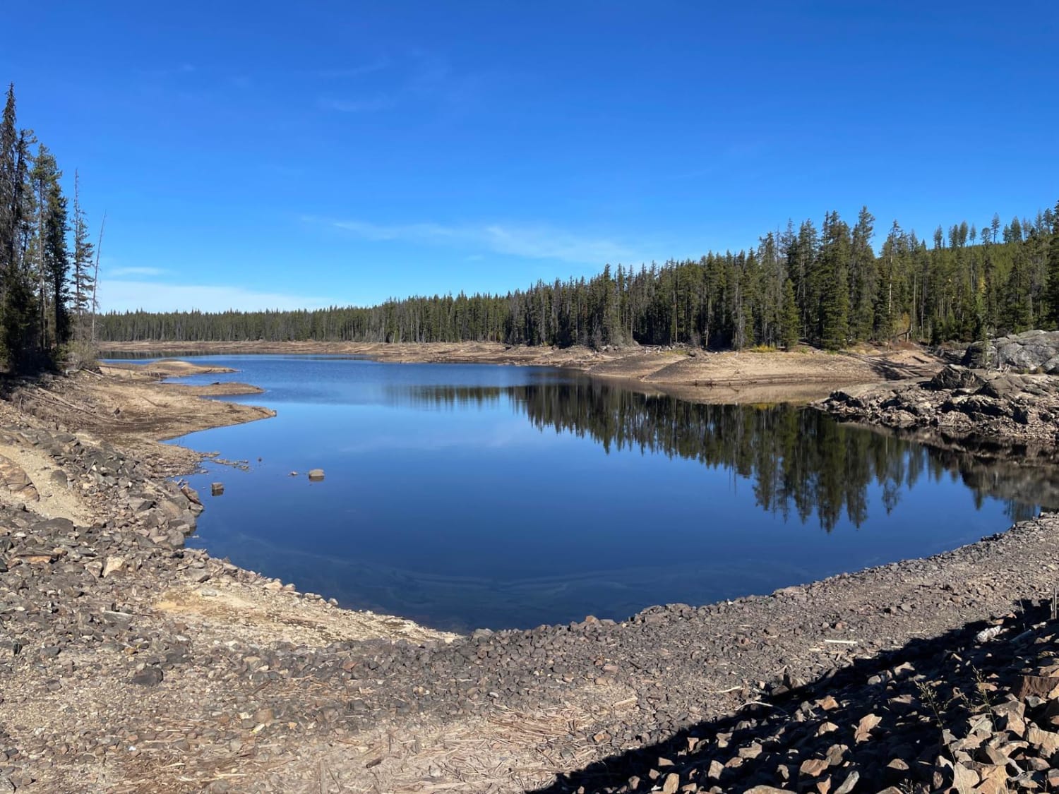
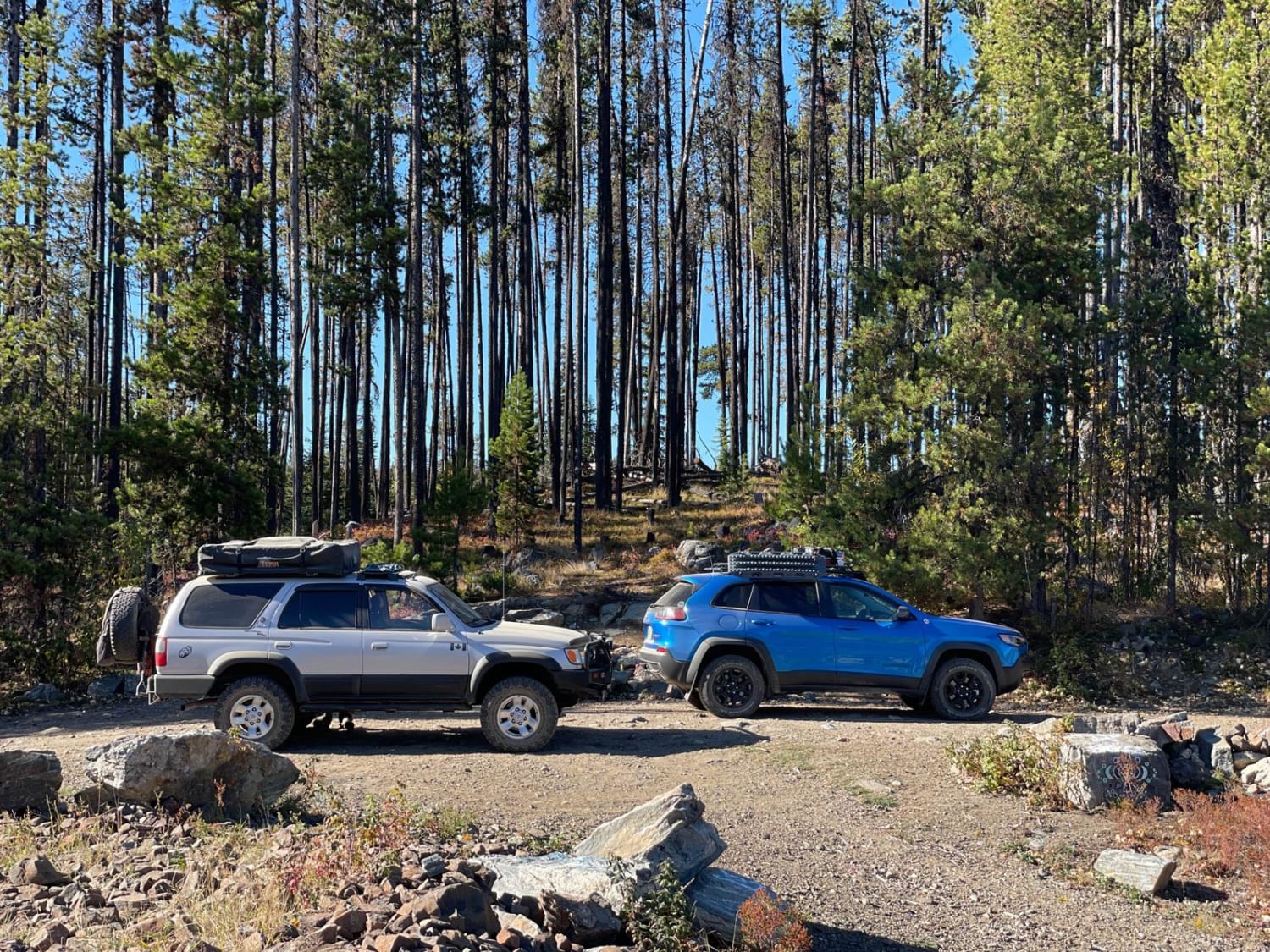
Trail Overview
The road into Ideal Lake off of Philpot/Aberdeen is very rough, with tons of deep potholes - huge potholes. It's a slow drive-in. We were there in the Fall of 2022 during one of the driest 4 months on record and the water levels of Ideal Lake which is a reservoir was so low. There are a few camp spots here and there was an RV there too. You could fish here as well. There are trails at the rec site for kids to play on or to go for a nice hike/walk. There is no cell coverage at this location.
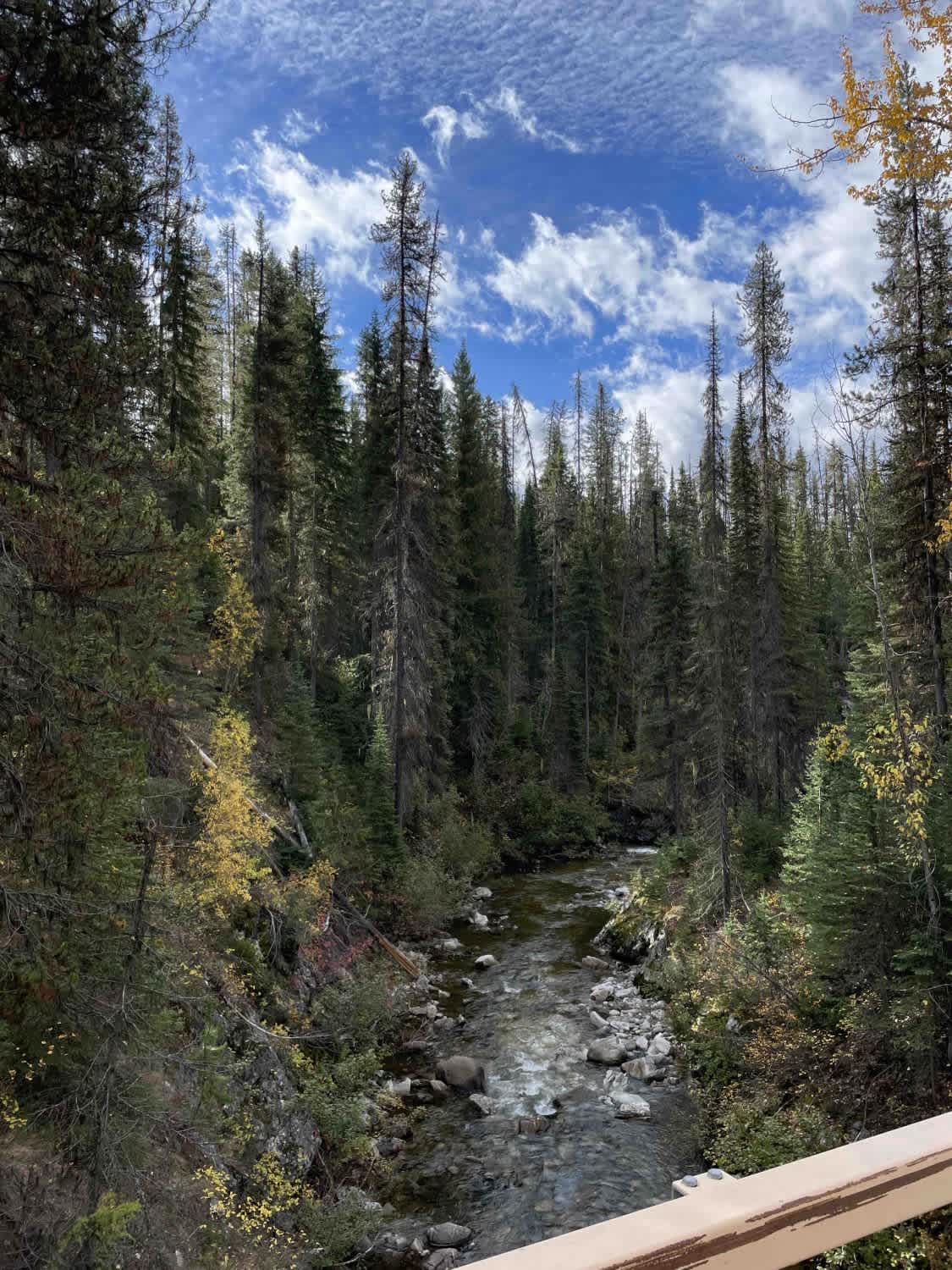
Photos of Ideal Lake
Difficulty
very large pot holes that will be deep and muddy in rain seasons
Status Reports
Ideal Lake can be accessed by the following ride types:
- High-Clearance 4x4
- SxS (60")
- ATV (50")
- Dirt Bike
Ideal Lake Map
Popular Trails
Bella Coola Petroglyphs Site

Dragon's Breath
Kettle Valley - Kettle Center to Highway
The onX Offroad Difference
onX Offroad combines trail photos, descriptions, difficulty ratings, width restrictions, seasonality, and more in a user-friendly interface. Available on all devices, with offline access and full compatibility with CarPlay and Android Auto. Discover what you’re missing today!