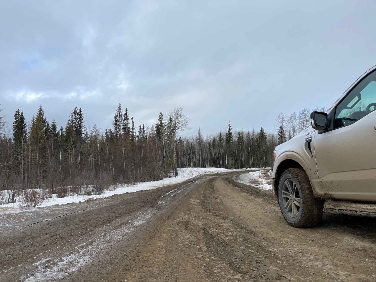
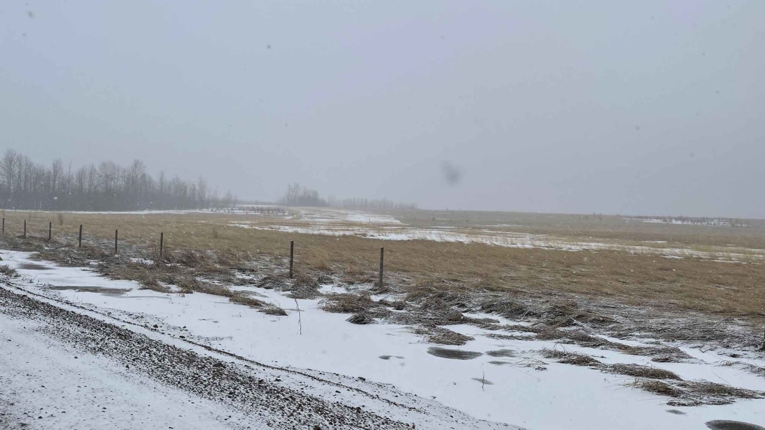
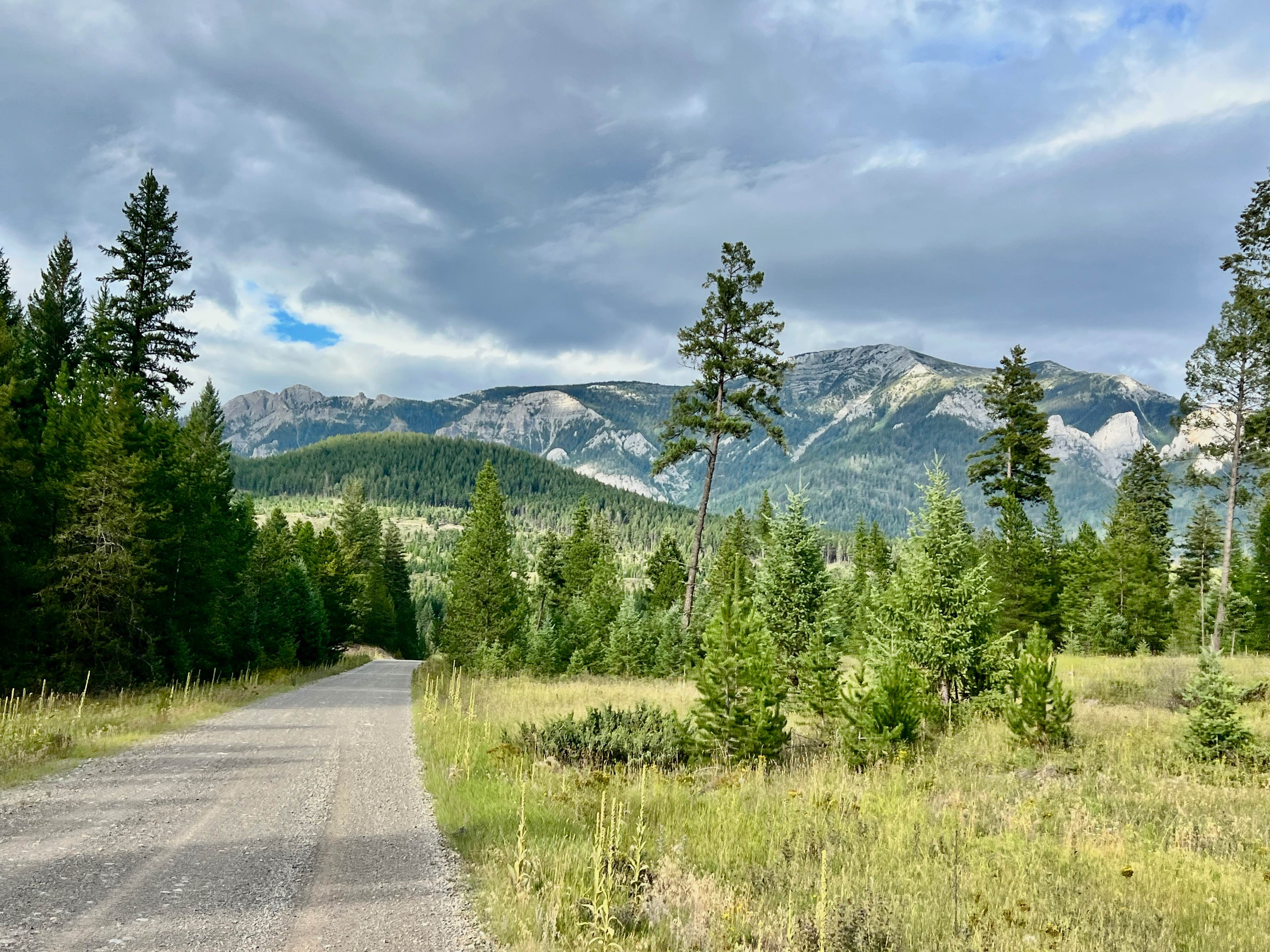
Ice Bridge Road
Total Kilometers
13.5
Technical Rating
Best Time
Spring, Summer, Fall, Winter
Trail Type
Full-Width Road
Accessible By
Trail Overview
Ice Bridge Road is a gravel/silt/muddy backroad route where you can travel from Chetwynd BC to the southside of Fort St. John. Predominantly used for oil and gas access with numerous fracking and well sites in the region. Entire area is also utilized for Offroading, ATV's, and Hunting (Elk, Moose and Deer). There are a ton of access points to other trails and roads that can be hit for additional fun and exploring.
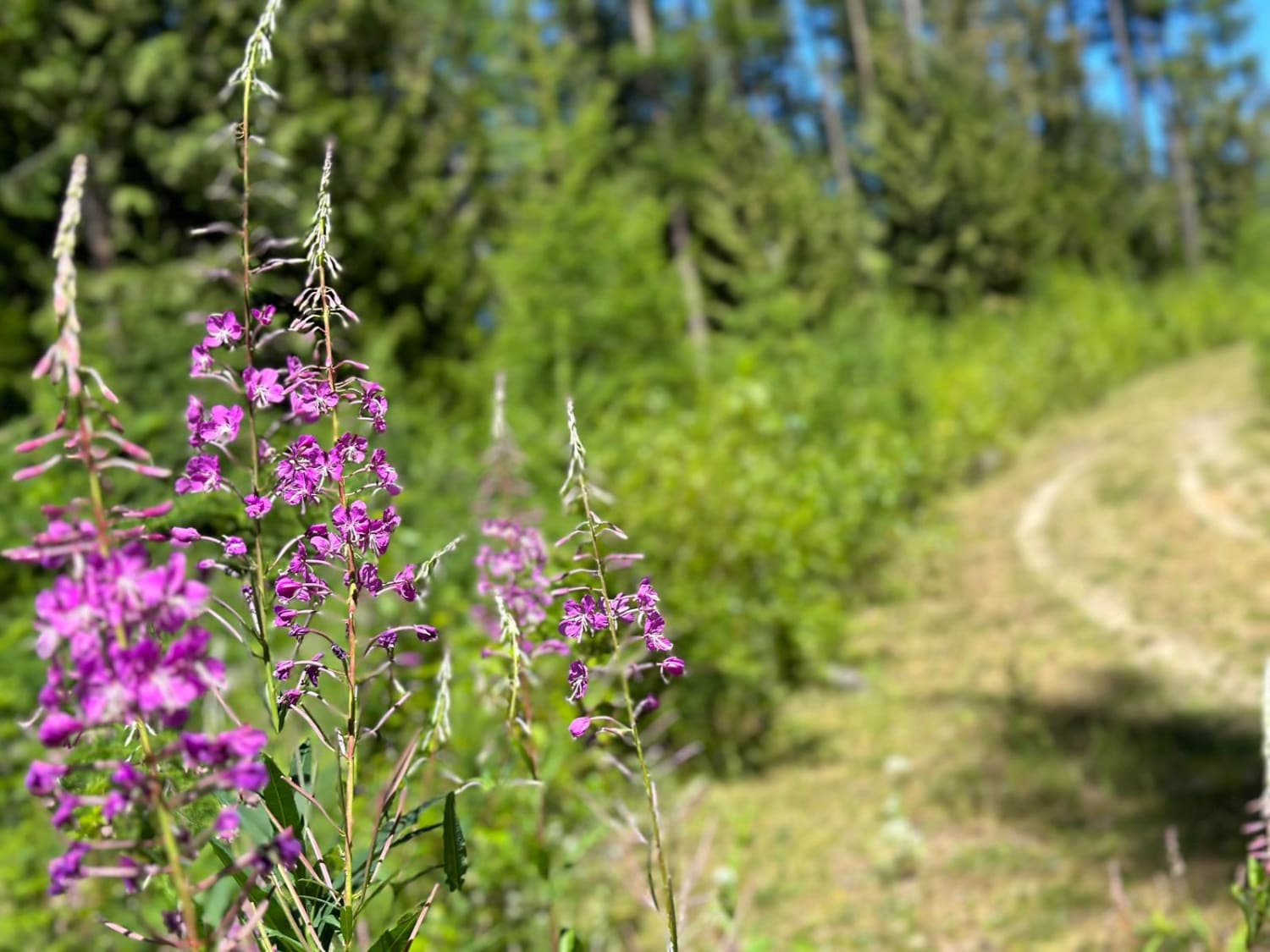
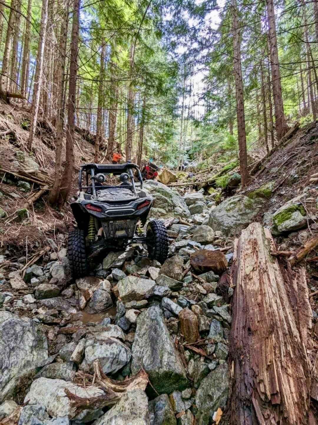
Photos of Ice Bridge Road
Difficulty
Most of the road is maintained but can become quite rutted. There are parts of the road that are sandy and silty which turns extremely greasy and slippery with wet conditions, heavy traffic at certain parts of the year and it is a radio controlled road for user safety.
Status Reports
Ice Bridge Road can be accessed by the following ride types:
- High-Clearance 4x4
- SUV
- SxS (60")
- ATV (50")
- Dirt Bike
Ice Bridge Road Map
Popular Trails
Suzie Loaded
Watershed FSR
The onX Offroad Difference
onX Offroad combines trail photos, descriptions, difficulty ratings, width restrictions, seasonality, and more in a user-friendly interface. Available on all devices, with offline access and full compatibility with CarPlay and Android Auto. Discover what you’re missing today!