Around Aberdeen on Curtis Lake FSR
Total Kilometers
10.6
Technical Rating
Best Time
Spring, Summer, Fall
Trail Type
Full-Width Road
Accessible By
Trail Overview
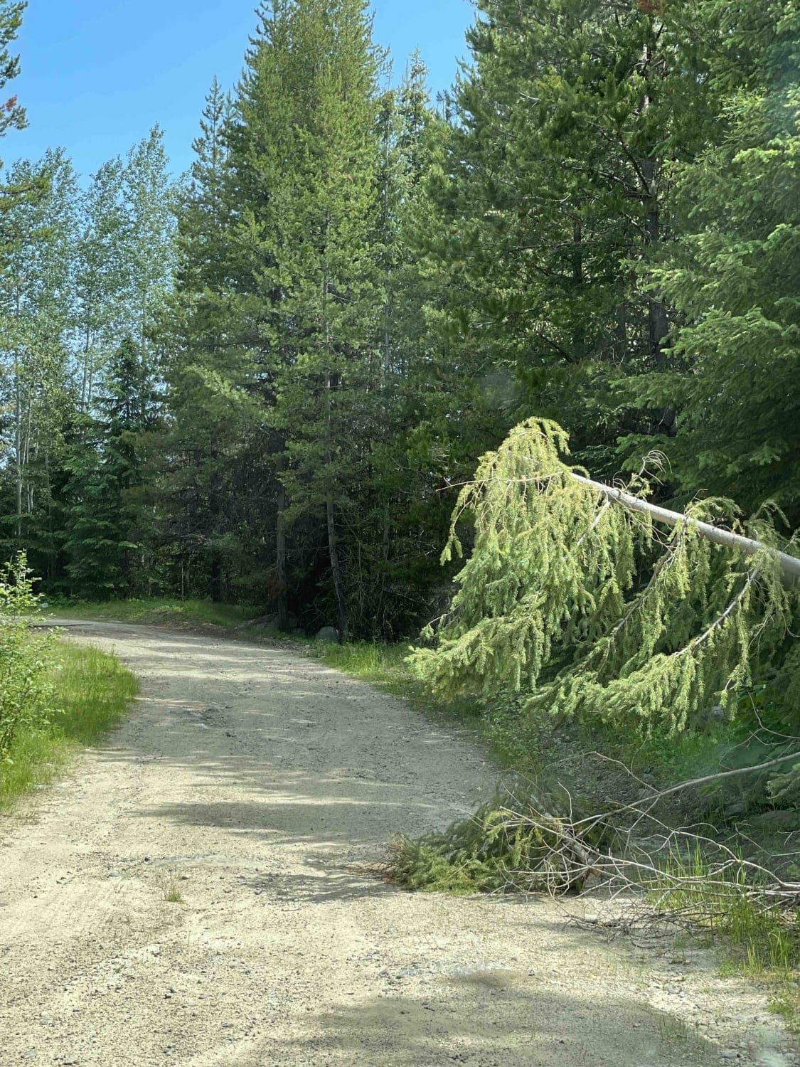
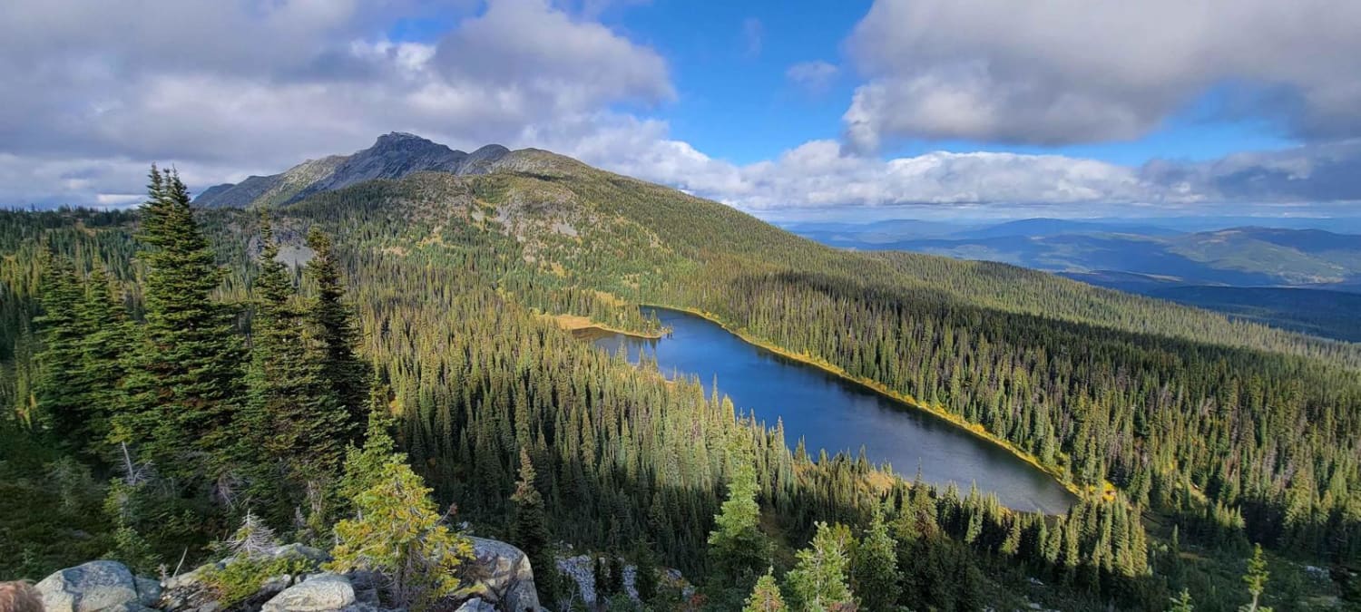
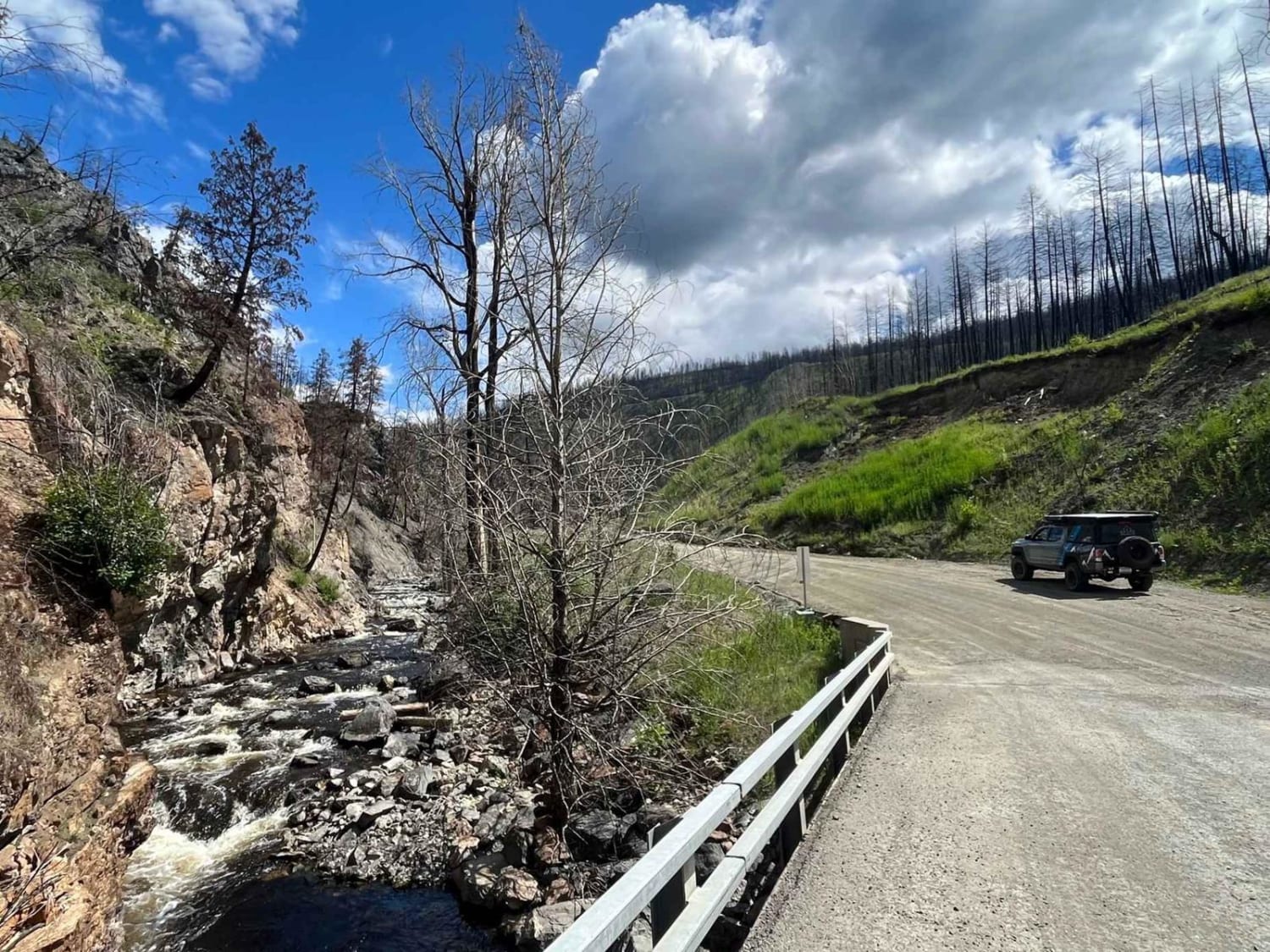
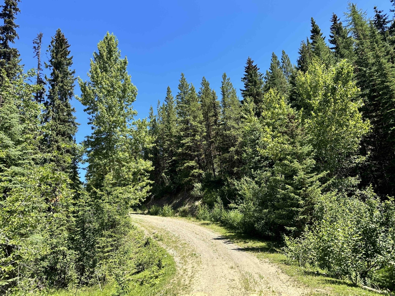
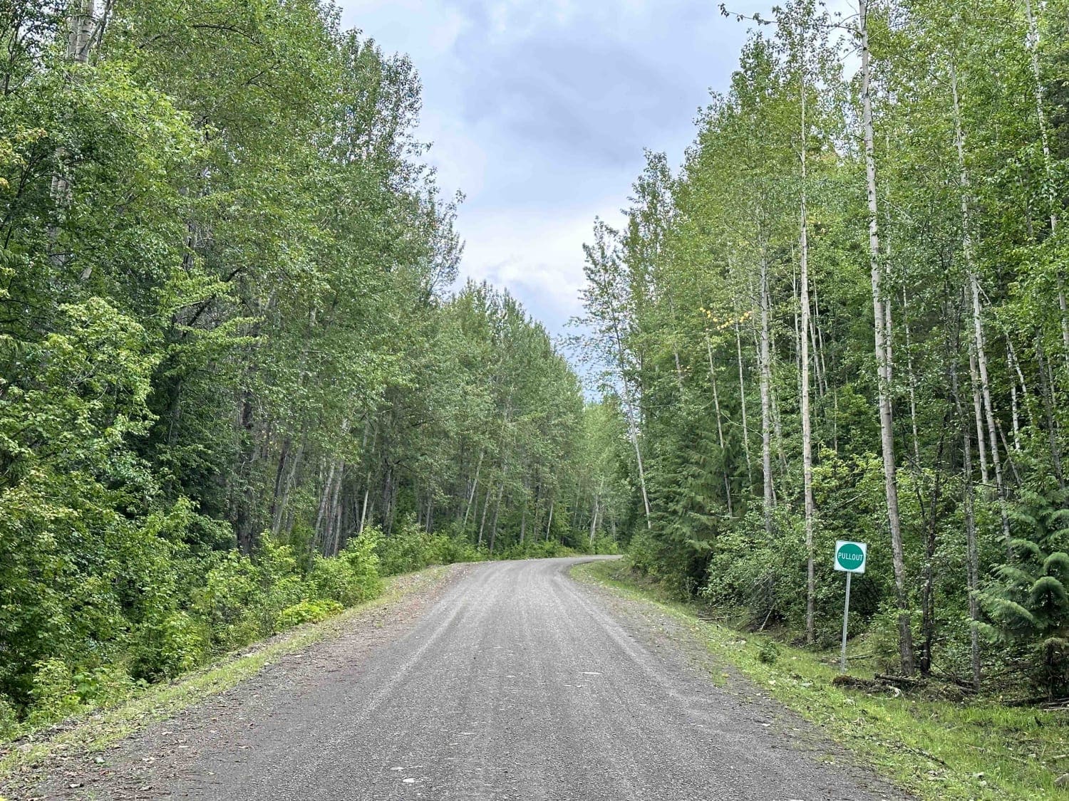
Decent Forest Service Road that is a little narrower than the main FSR. There are great views of Aberdeen Lake as you are above the lake at about 1300 meters. A few areas where trees were down from the snow. Continue along to connect to the Grizzly FSR. Make sure you use your HAM radio to call out KM's as this is an active logging area.
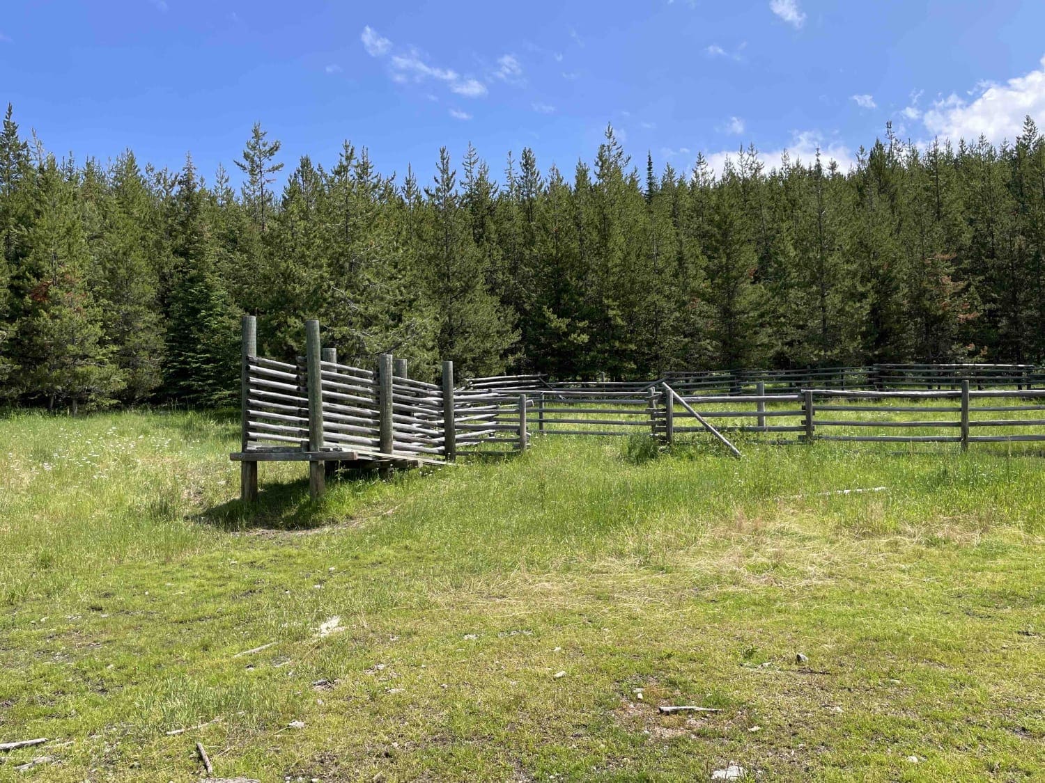
Photos of Around Aberdeen on Curtis Lake FSR
Difficulty
Pretty basic FSR with some overgrown areas. Few areas with some water erosion from the snow melt.
Status Reports
Around Aberdeen on Curtis Lake FSR can be accessed by the following ride types:
- High-Clearance 4x4
- SUV
- SxS (60")
- ATV (50")
- Dirt Bike
Around Aberdeen on Curtis Lake FSR Map
Popular Trails
Lost Airplane Ridge
Deadman FSR
Blunt Creek FSR
The onX Offroad Difference
onX Offroad combines trail photos, descriptions, difficulty ratings, width restrictions, seasonality, and more in a user-friendly interface. Available on all devices, with offline access and full compatibility with CarPlay and Android Auto. Discover what you’re missing today!