Tucker Road - FS 4099
Total Miles
0.9
Technical Rating
Best Time
Spring, Summer, Fall, Winter
Trail Type
Full-Width Road
Accessible By
Trail Overview
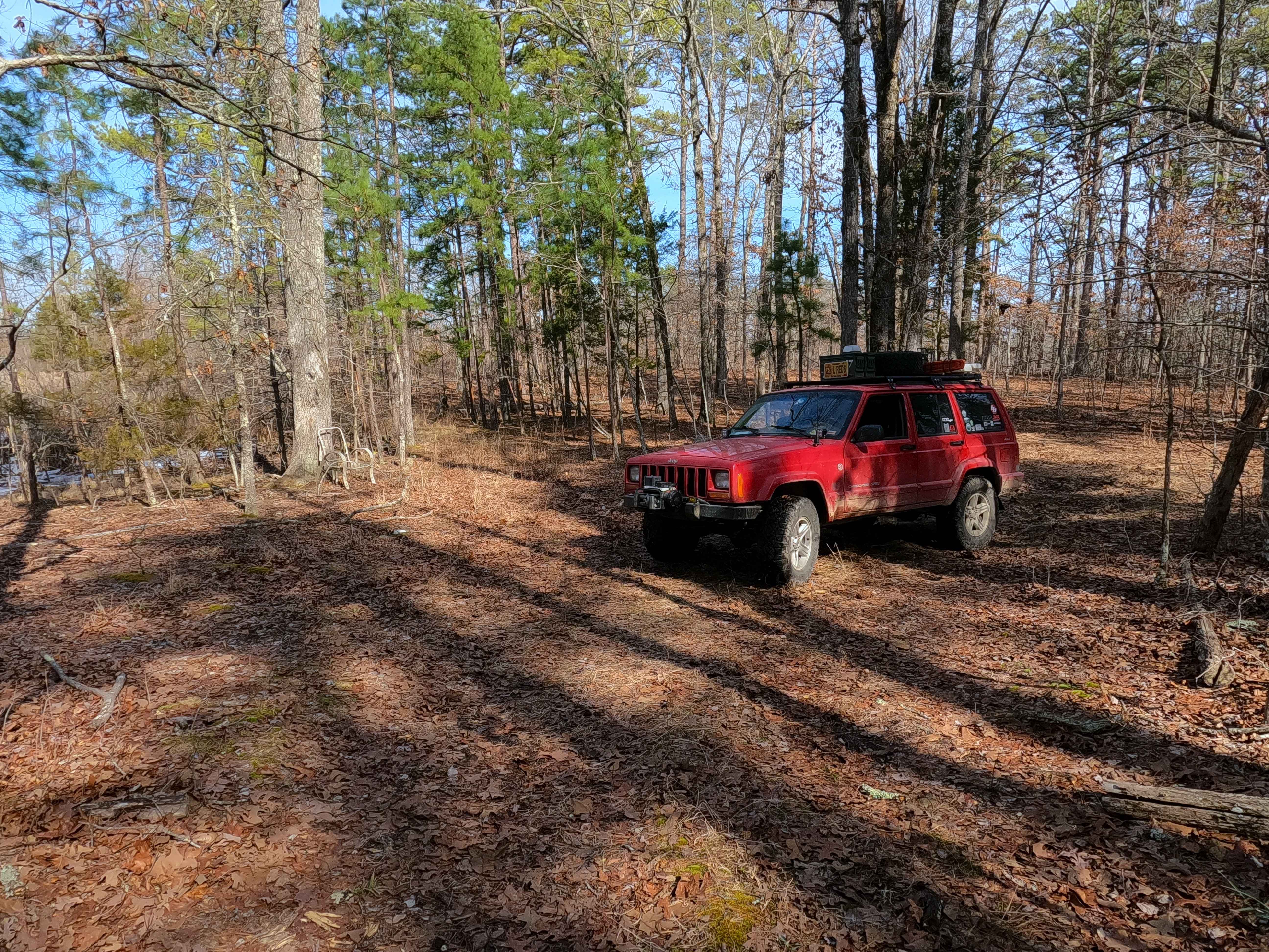
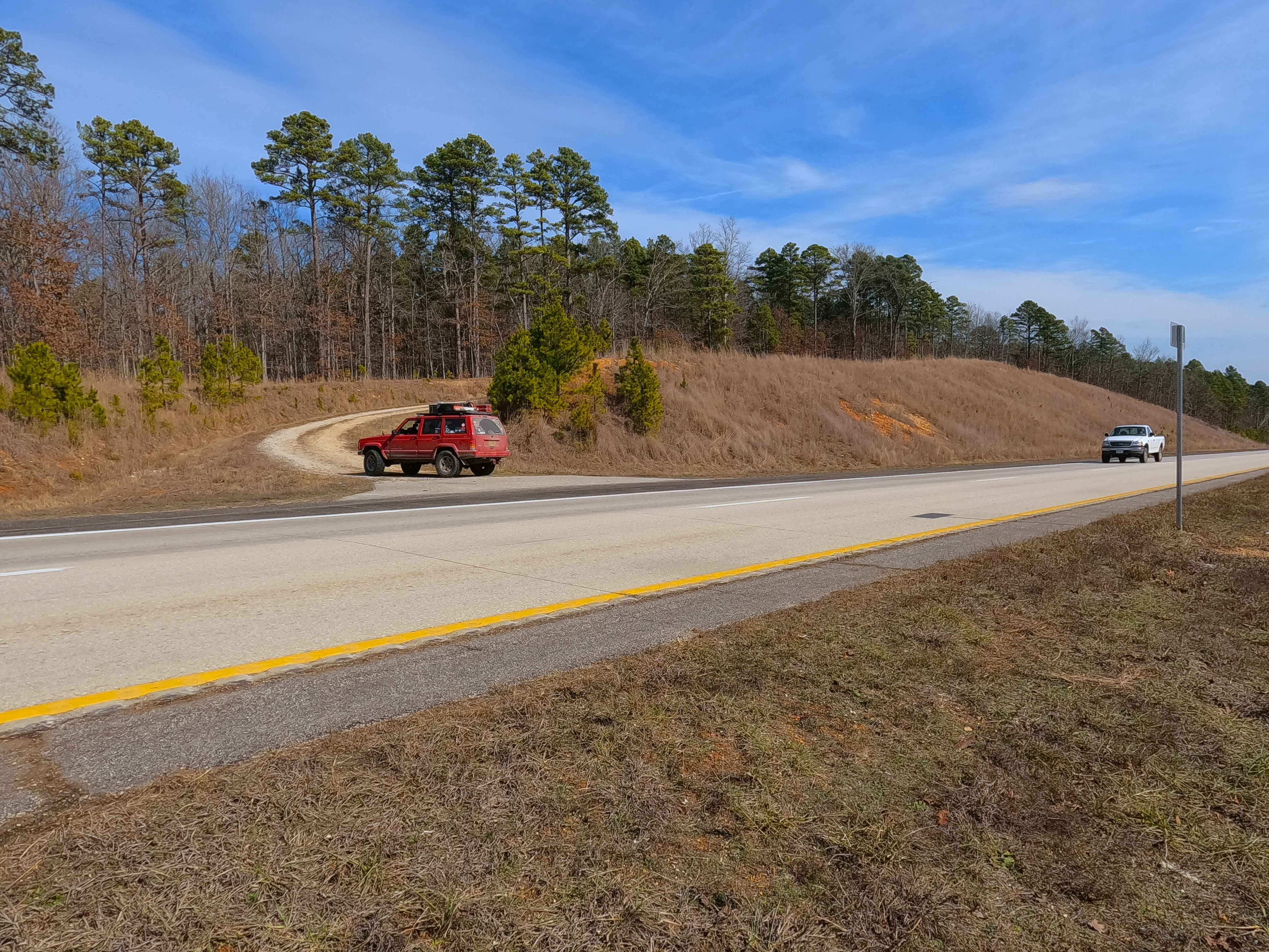
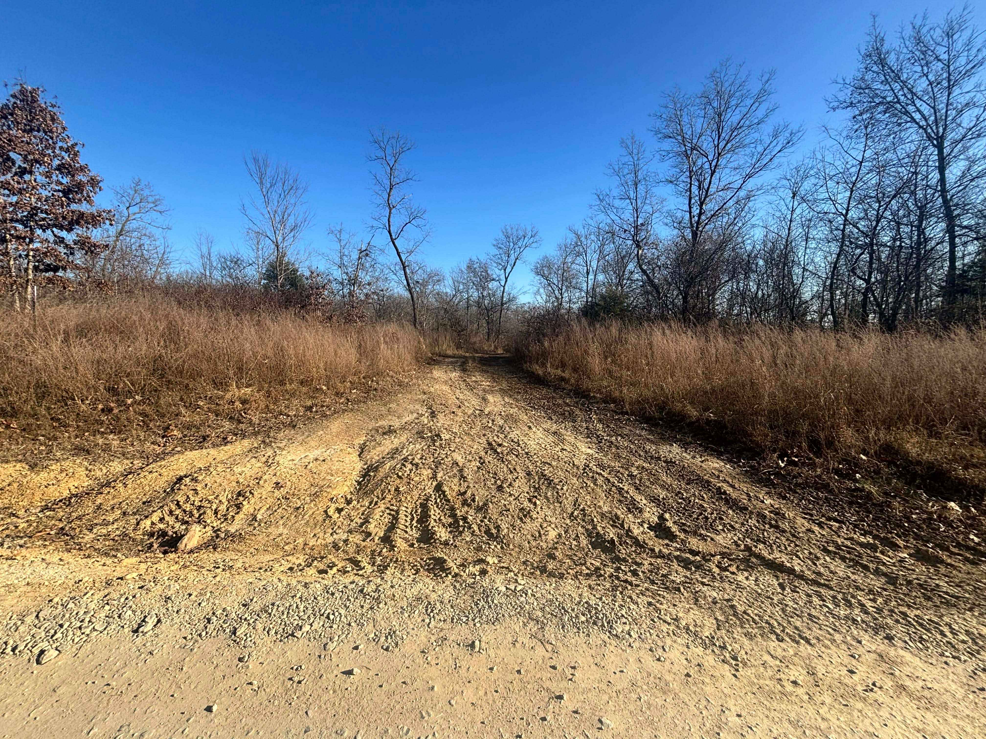
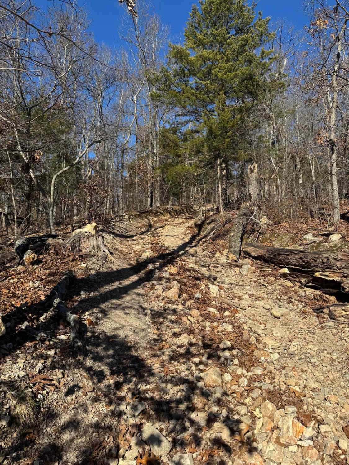
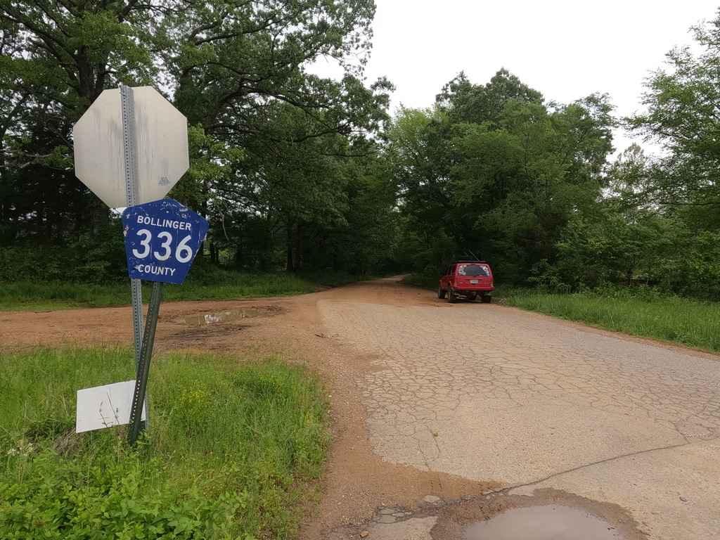
Tucker Road (FS 4099) is a gravel, leaning into natural dirt forest road, within the Mark Twain National Forest, Doniphan / Eleven Point Unit. Tucker Road begins on the north shoulder of US Route 60 heading north into the woods, climbing uphill along the highway clearing, to turn into the dense woods, where the road transitions quickly to a mostly dirt path, as it encounters shallow water collection spots, climbing a few mild elevation changes, as the treeline tightens on the pathway, before ending at a small turnaround opening along a small pond, placed at the edge of private property which is found on the north side of the pond, the road concludes at a gate marked by purple paint at this line, about 200 feet north of the turnaround spot on the east side of the pond.
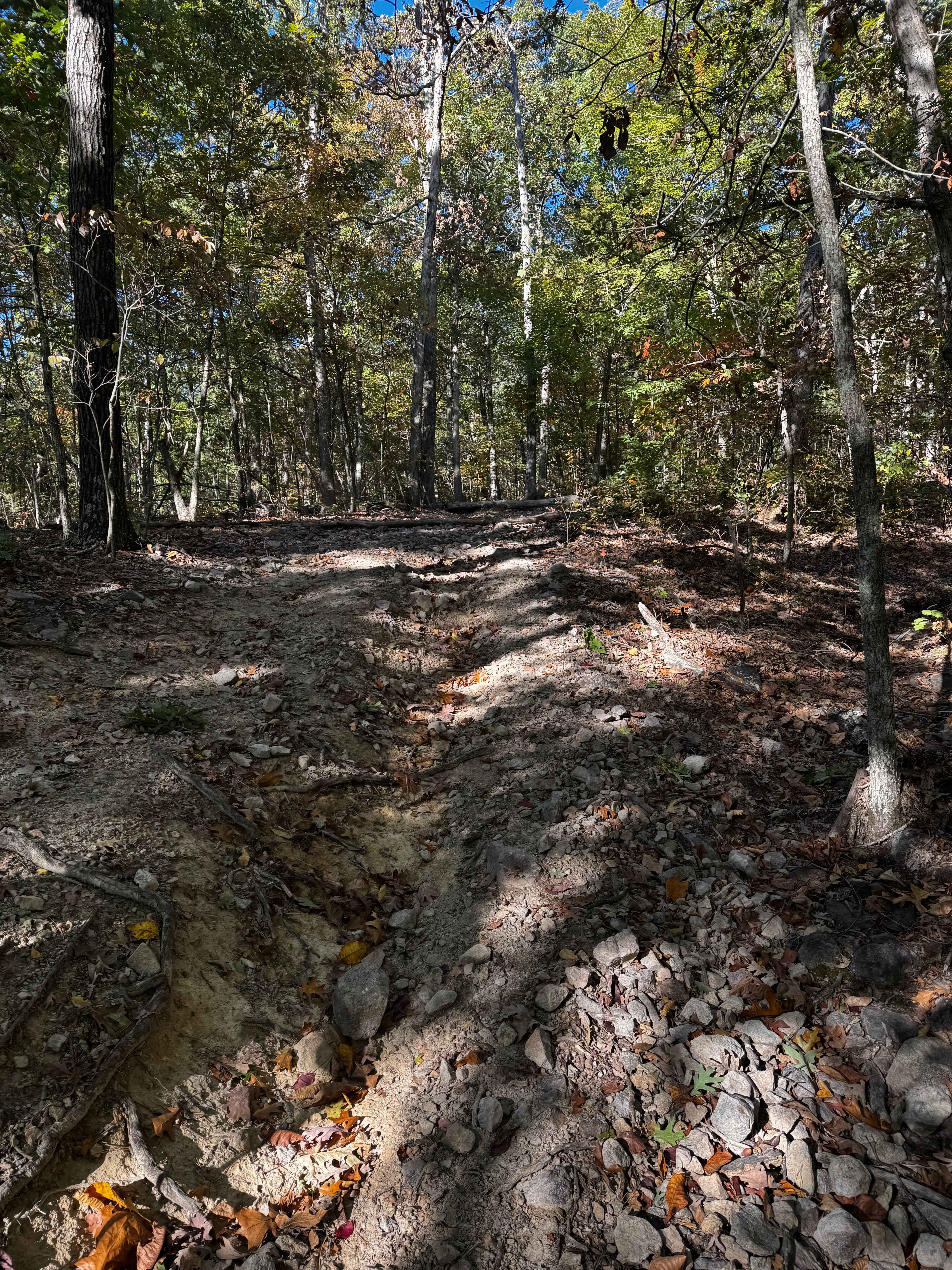
Photos of Tucker Road - FS 4099
Difficulty
Tucker Road is given a 2/10 rating for being a natural dirt terrain path, having mild water collection spots (splash depth, up to 6 inches), with soft surface mud, and small fallen trees. Difficulty can increase due to heavy use and lack of maintenance, large 12-inch-plus fallen trees blocking the trail, wet or rainy conditions, or inclement weather. The road could also drop in difficulty if it were to have a gravel surface throughout, and to address the mending of the water collection spots.
History
Before the completion of the continuous 4-lane US Route 60 between Willow Springs and Van Burne in July of 2010, US-60 was a more simplistic two-lane highway, and Tucker Road used to start 500 feet further to the south-southeast on what is now the eastbound lanes of the modern divided highway. On the satellite view map, the former pathway of the road is still visible despite being abandoned for over 15 years. Documented in 2/2026 by Christopher Menz
Status Reports
Tucker Road - FS 4099 can be accessed by the following ride types:
- High-Clearance 4x4
- SUV
- SxS (60")
- ATV (50")
- Dirt Bike
Tucker Road - FS 4099 Map
Popular Trails
Fresno Cut Through
Reynolds Ford Road
Big Oooof
The onX Offroad Difference
onX Offroad combines trail photos, descriptions, difficulty ratings, width restrictions, seasonality, and more in a user-friendly interface. Available on all devices, with offline access and full compatibility with CarPlay and Android Auto. Discover what you’re missing today!