Jasper Trail
Total Miles
5.5
Technical Rating
Best Time
Fall, Winter, Spring
Trail Type
Full-Width Road
Accessible By
Trail Overview
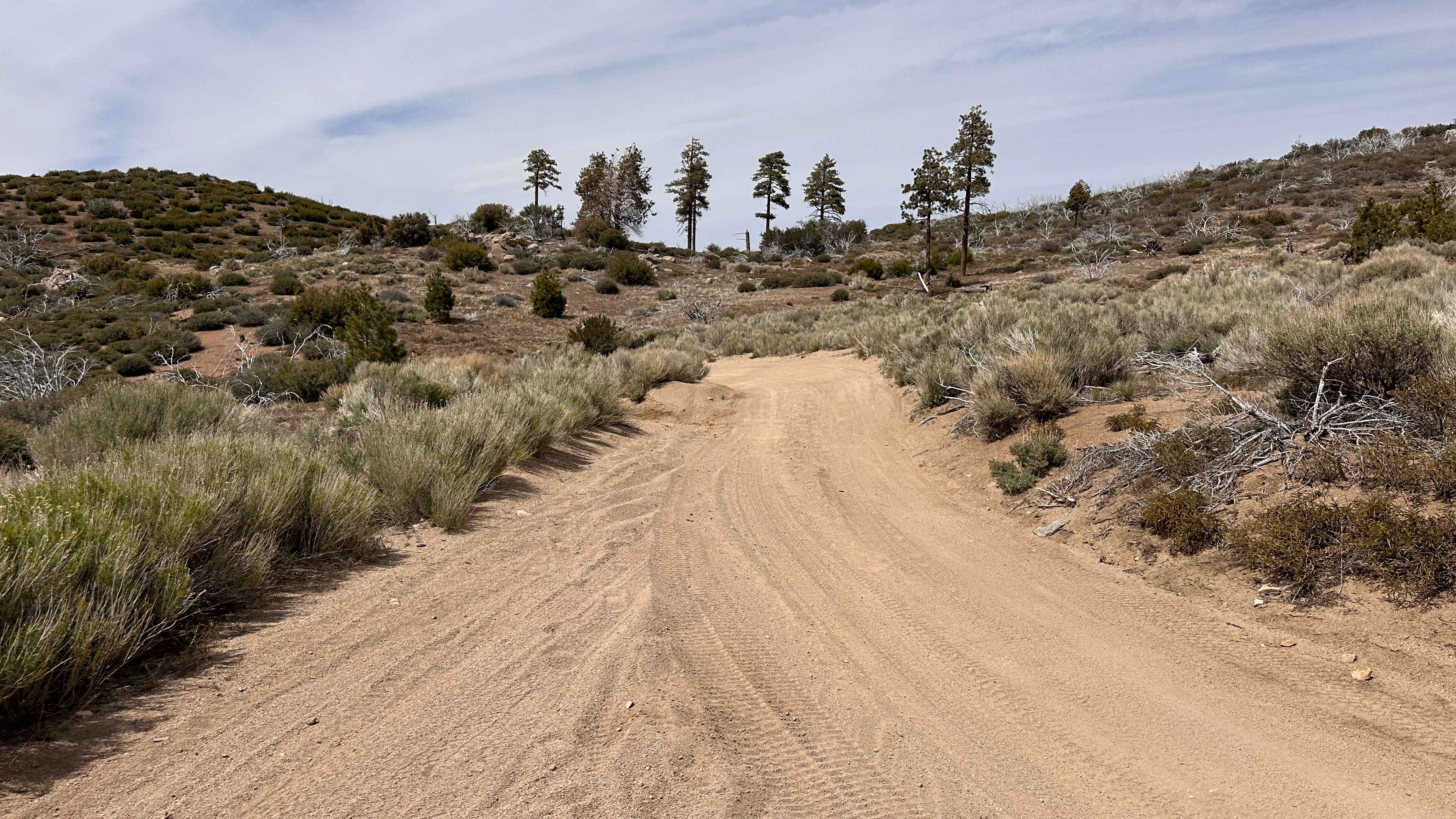
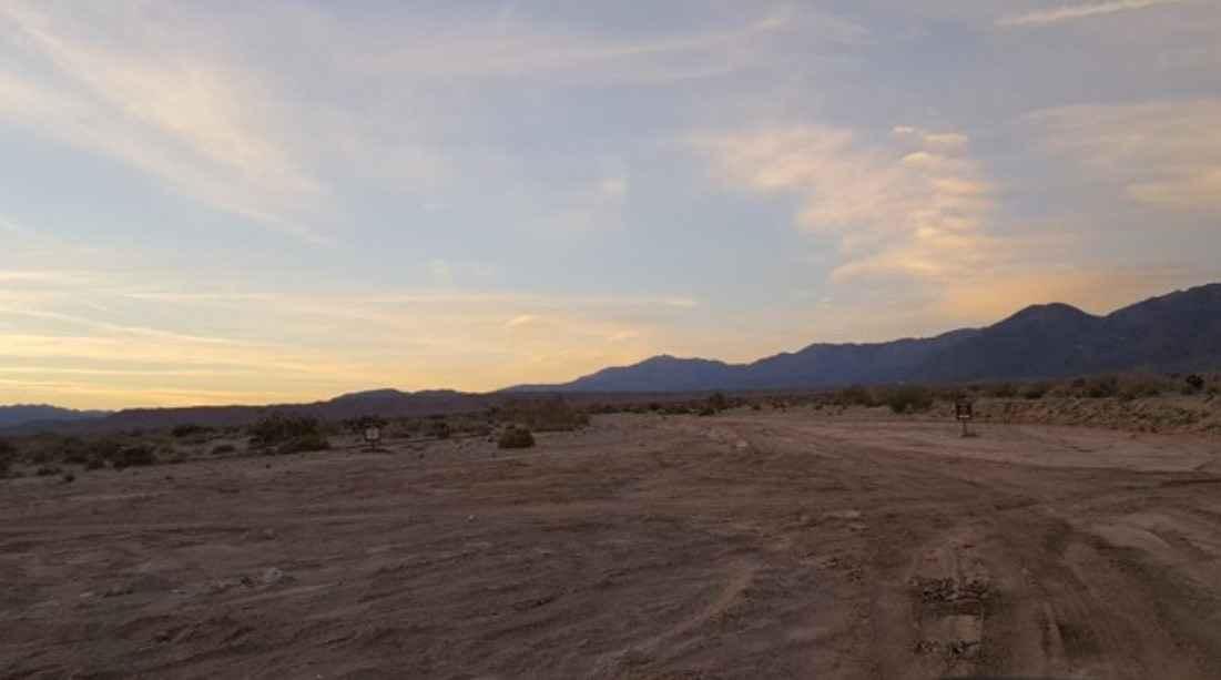
The Jasper Trail, a 5.2-mile dirt road, traverses the border of the Anza-Borrego Desert State Wilderness. It stretches north-south from Highway 22, known as "Montezuma Valley Road," to Grapevine Canyon Road. The trail is composed of sand and gravel, primarily granite, which characterizes the desert environment. As it winds through the landscape, it presents breathtaking views of intriguing rock formations and high-altitude desert vegetation, providing ample opportunities for photography. Descending into the Anza-Borrego Desert, the trail offers panoramic vistas. Dispersed camping is available at various points along the trail. The trail commences at an elevation of 4,236 feet and descends to 2,952 feet, resulting in a loss of 1,680 feet. While considered an "easy" trail in dry weather conditions, it can become more challenging during wet weather. The trail terminates at its intersection with Grapevine Canyon Road, where it merges with Highway 78. There are side roads leading to Highway 78. The route is accessible to most high-clearance SUVs.
Photos of Jasper Trail


Difficulty
While considered an "easy" trail in dry weather conditions, it can become more challenging during wet weather. The trail terminates at its intersection with Grapevine Canyon Road, where it merges with Highway 78. There are side roads leading to Highway 78. The route is accessible to most high-clearance SUVs. The trail is composed of sand and gravel, primarily granite, which characterizes the desert environment.
History
Jasper Trail in Anza-Borrego Desert State Park is a historic 12-mile route named after Ranchita cattleman Ralph Jasper, who used it to move livestock between the San Ysidro Mountains and warmer winter grazing lands. It descends through Grapevine Canyon, a key travel corridor featuring historic water sources (Stuart and Angelina springs) used by cattlemen and Native Americans.
Jasper Trail can be accessed by the following ride types:
- High-Clearance 4x4
- SUV
Jasper Trail Map
Popular Trails
Prospector's Cutoff
Palo Verde Wash
East Fork Chiquito Creek - FS 5S011
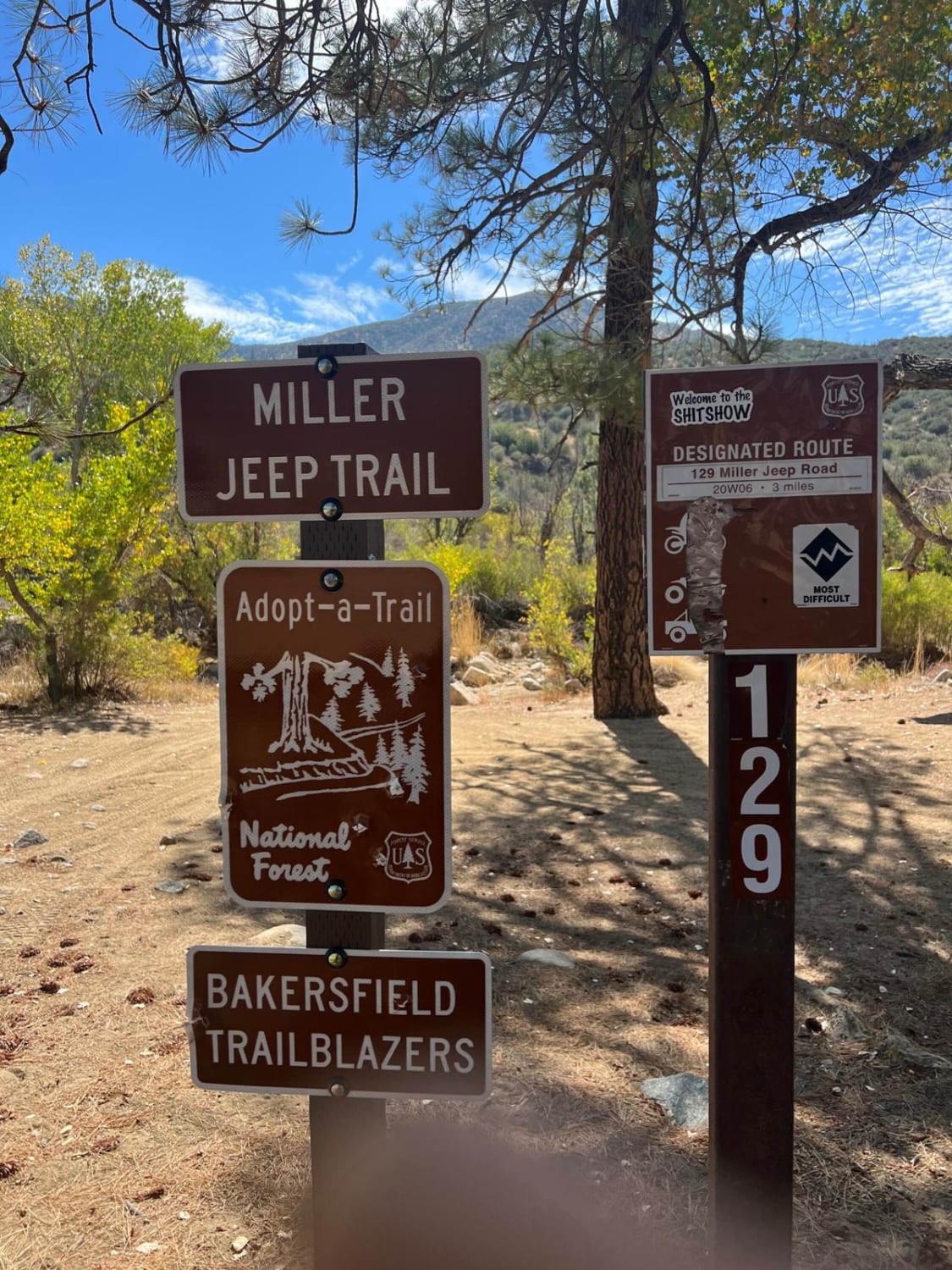
Miller Jeep Trail - 20W06
The onX Offroad Difference
onX Offroad combines trail photos, descriptions, difficulty ratings, width restrictions, seasonality, and more in a user-friendly interface. Available on all devices, with offline access and full compatibility with CarPlay and Android Auto. Discover what you’re missing today!