Shag Road
Total Miles
2.8
Technical Rating
Best Time
Spring, Fall, Summer
Trail Type
Full-Width Road
Accessible By
Trail Overview
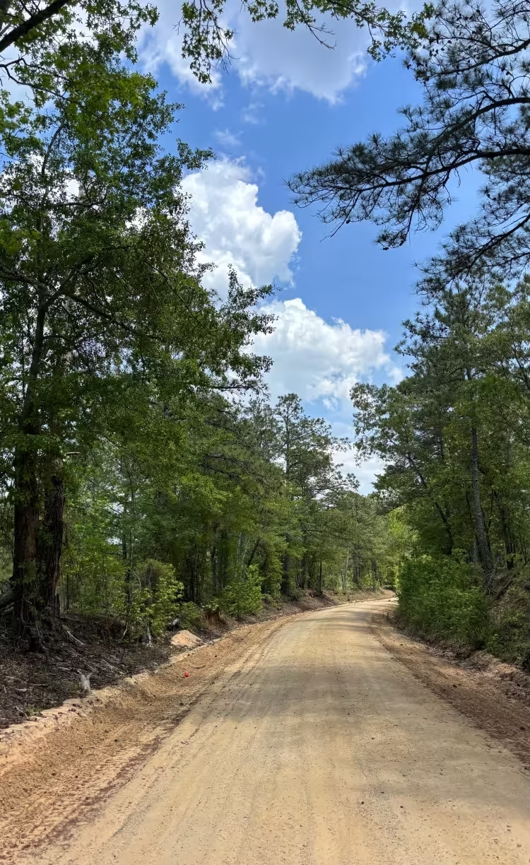
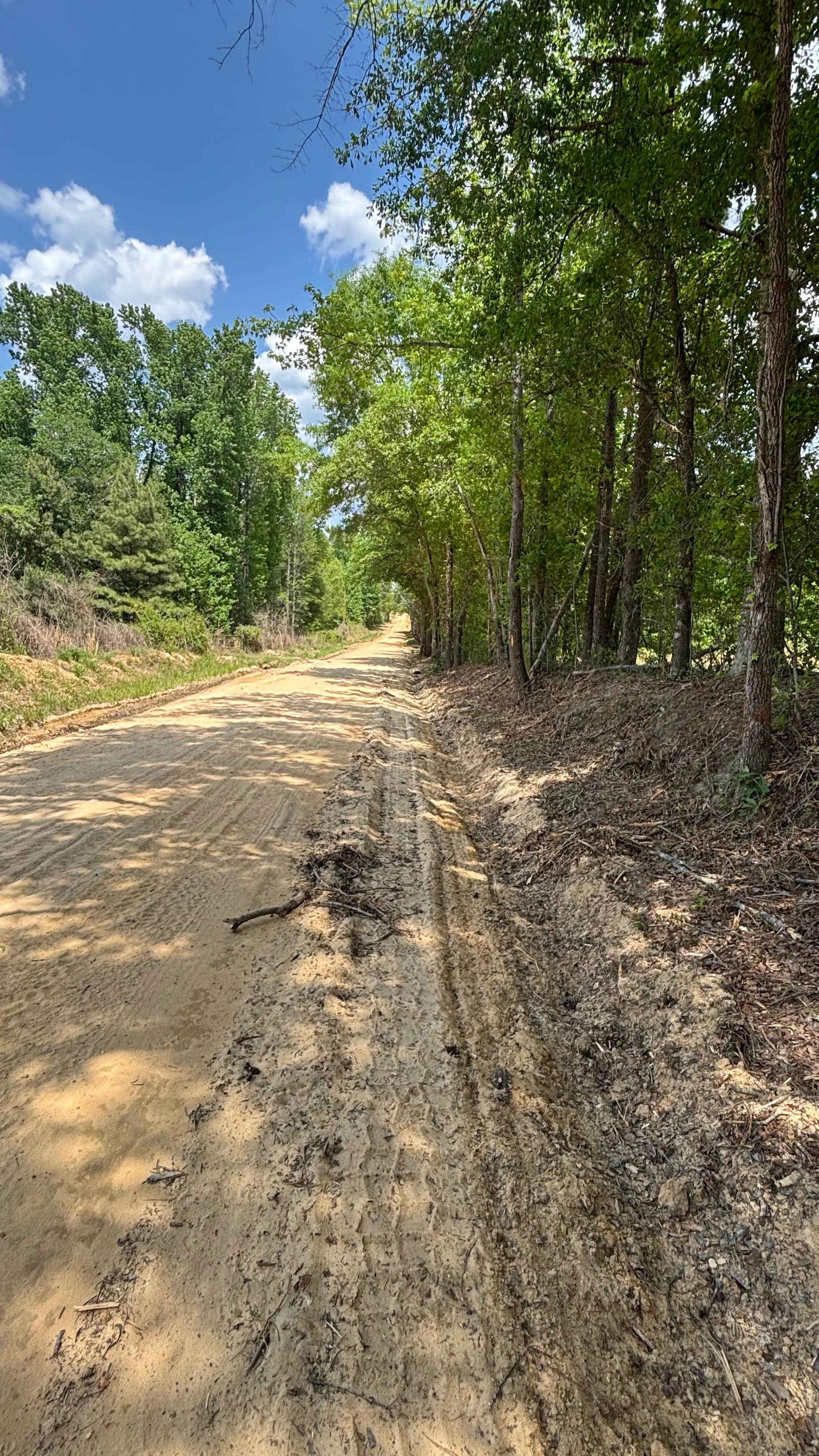
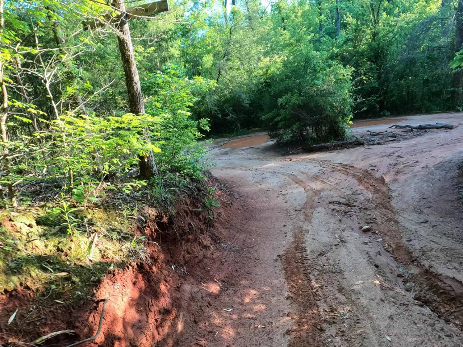
Shag Road is a scenic sandy road located not far from the Carolina Sandhills National Wildlife Refuge. The road passes through pine woods, mixed forest, and a few more open areas with big sky views. Trail conditions were mostly clean and passable, with a wide sandy surface, some loose sand, tire tracks, pine needles, small branches, and minor erosion along the sides. Depending on where you start, the end of the route can lead toward Douglass Millpond, which offers a nice pond view and is one of the highlights of the trip.
Photos of Shag Road
Difficulty
There are no major technical obstacles, but the sand can make travel slower, especially in hot weather or after rain
Status Reports
Shag Road can be accessed by the following ride types:
- High-Clearance 4x4
- SUV
Shag Road Map
Popular Trails
Palmetto Krawler
Service Road 17 (SR 17)
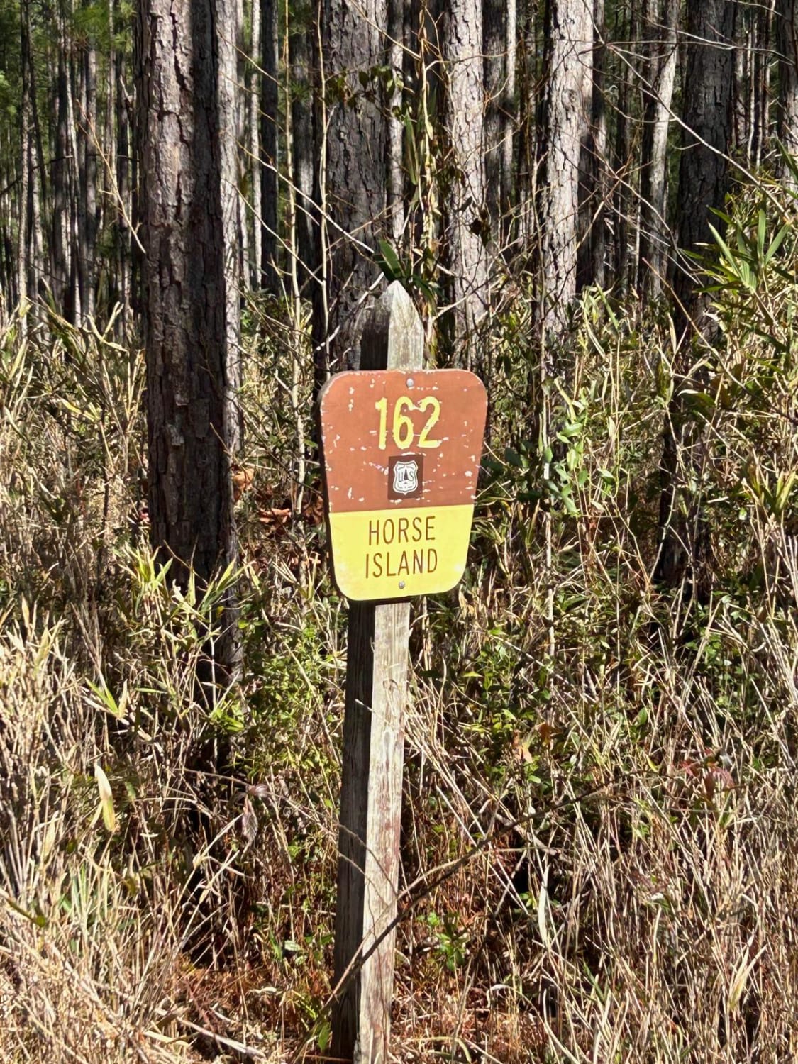
Horse Island Road - FSR162

Betty's Whoopties
The onX Offroad Difference
onX Offroad combines trail photos, descriptions, difficulty ratings, width restrictions, seasonality, and more in a user-friendly interface. Available on all devices, with offline access and full compatibility with CarPlay and Android Auto. Discover what you’re missing today!