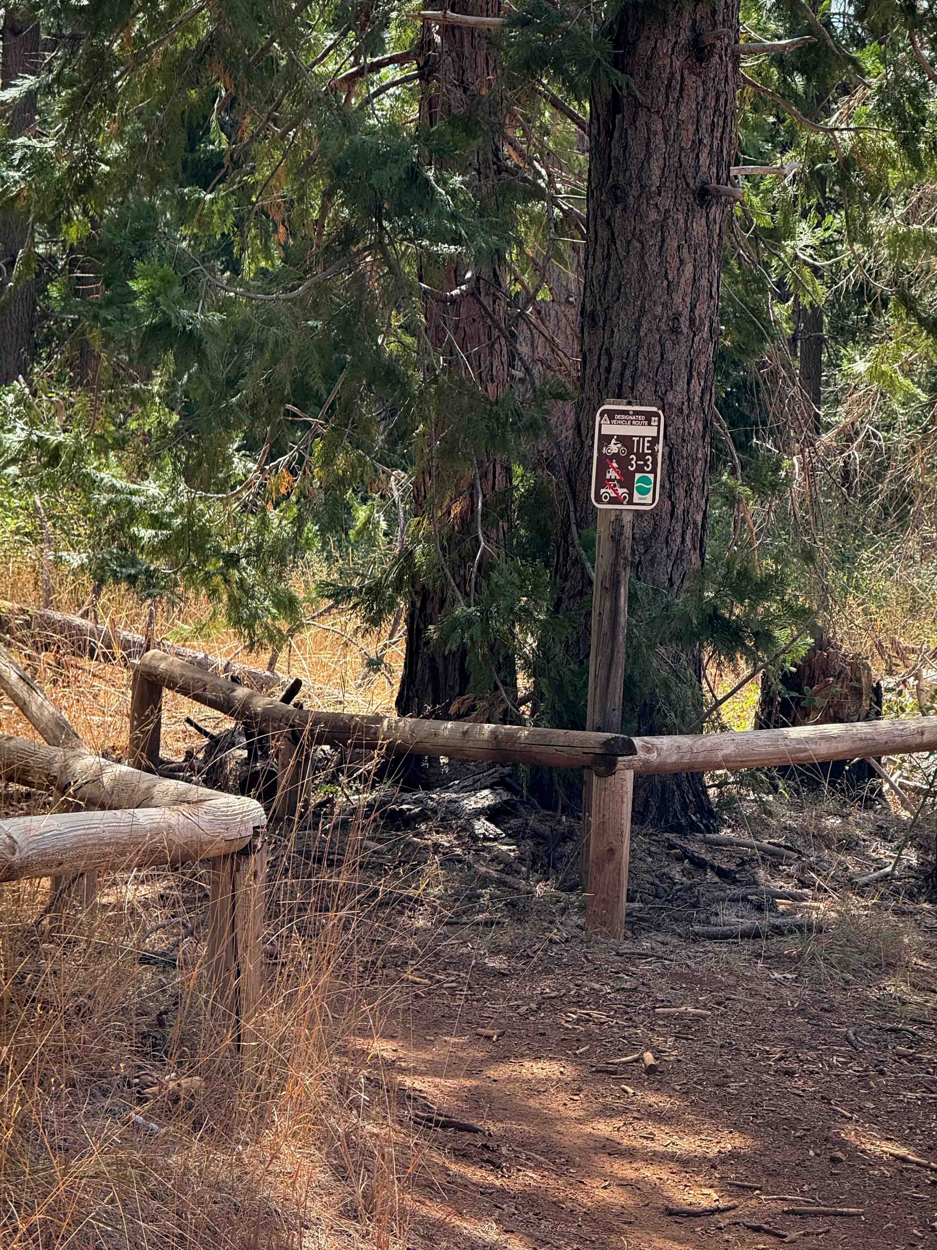
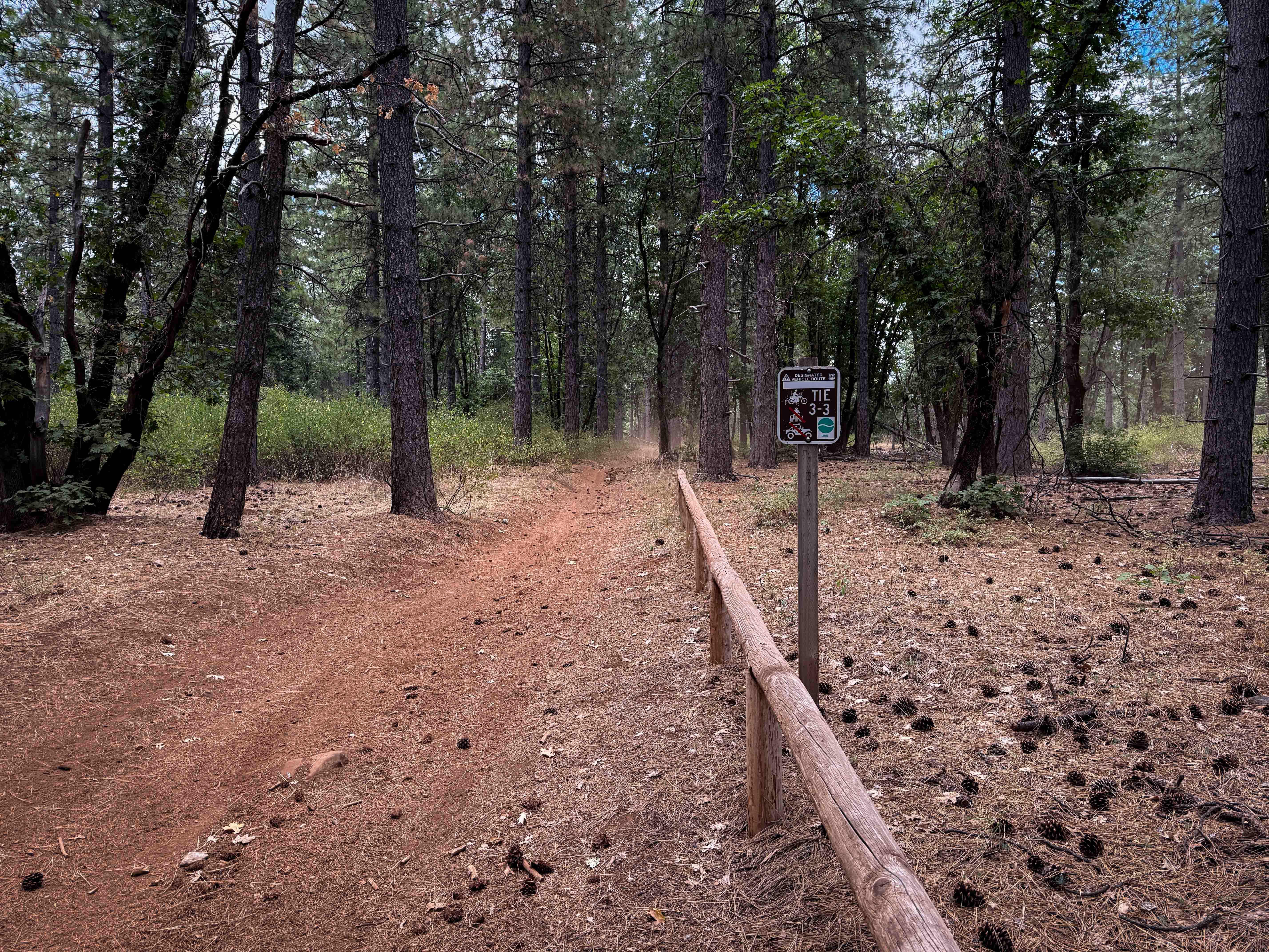
Tie 3-3
Total Miles
2.5
Technical Rating
Best Time
Spring, Summer, Fall
Trail Type
Single Track
Accessible By
Trail Overview
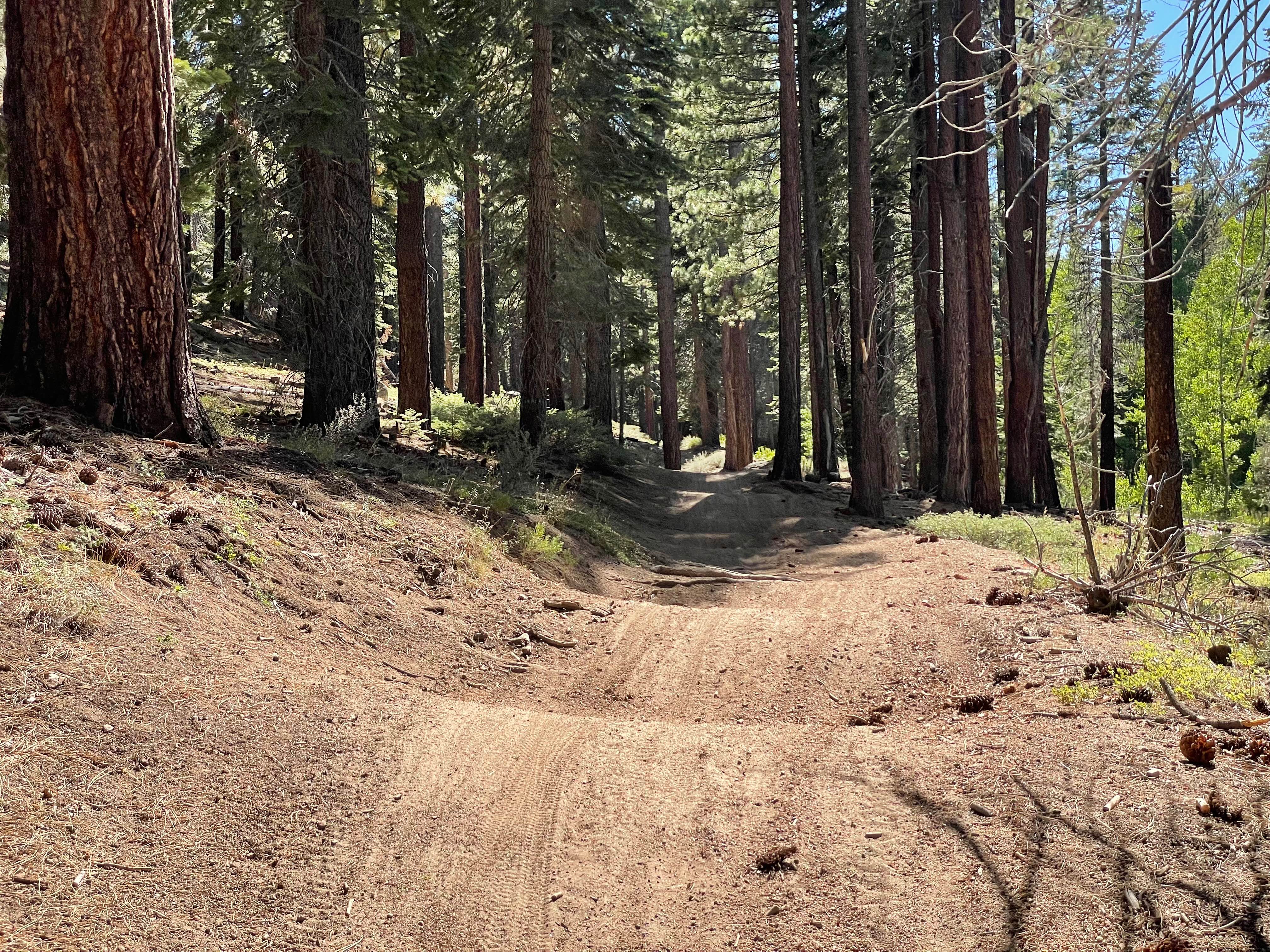
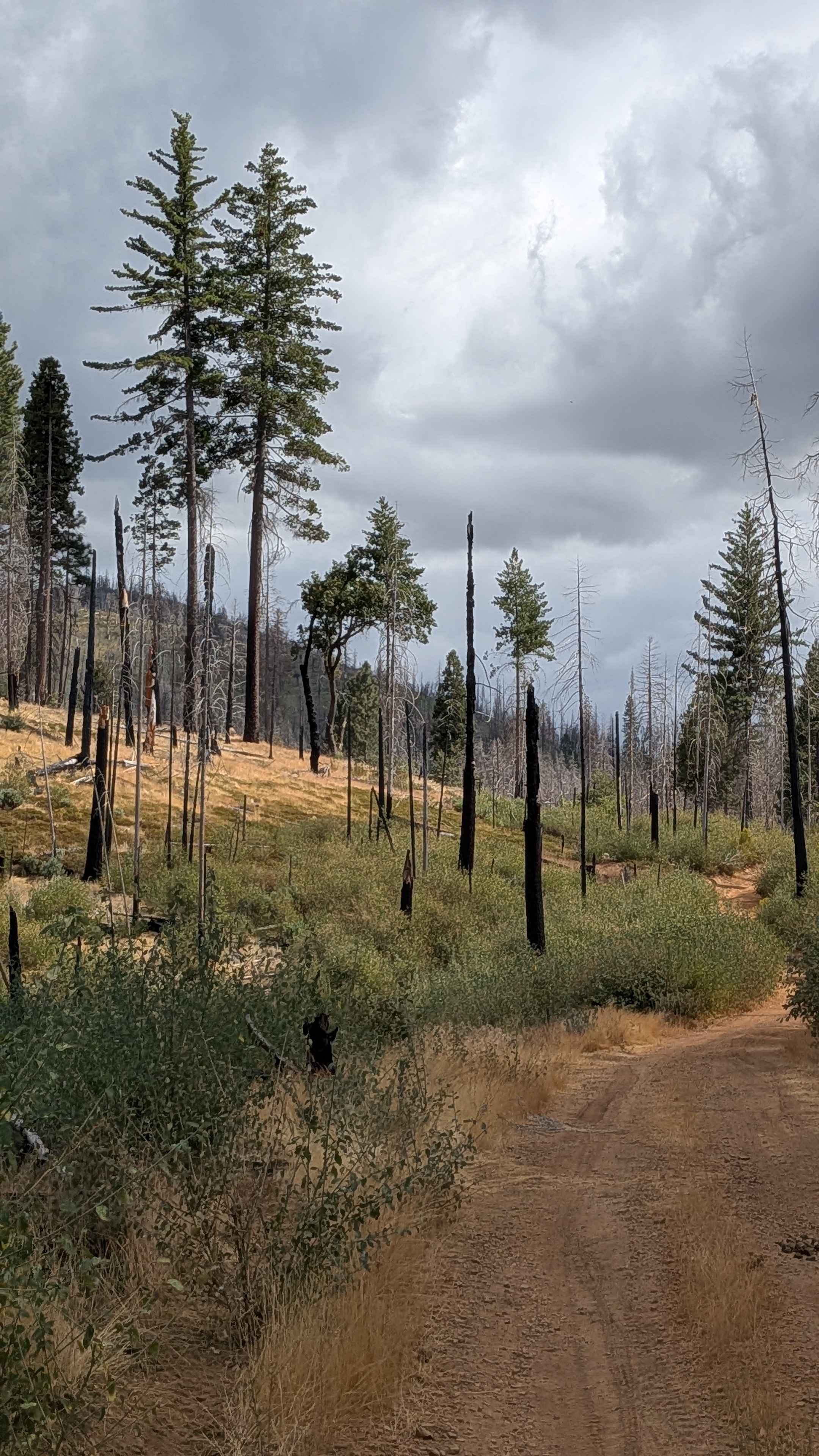
Tie 3-3 is a 2.5-mile-long easy dirt bike connector that links different segments of Loop 3 and provides an alternate way north/south when riding Loop 3. The trail consists of smooth dirt with frequent waterbars and is often covered in fallen pinecones across the forest floor. The path is wide--at times looking more like an ATV trail--with straight stretches offering good visibility and gradual, fast corners. Riders travel through an open forest with trees spaced widely apart, creating an easy flow. The route crosses an unmarked forest road at one point, going through a couple of metal pinch points to get back on the trail. From the south end, the trail mostly climbs up for the first half, then descends back down after crossing the road, followed by a couple of wide, smooth switchbacks to ascend back to Loop 3. The surface is dusty and silty in dry conditions, and the northern half narrows slightly but remains straightforward and easy.
Photos of Tie 3-3
Difficulty
This is an easy trail because it is wide, smooth, and gradual, with only minor features like waterbars, wide switchbacks, and a small climb adding variation. This is ideal for newer or young riders looking to practice their trail skills, especially when combined with Loop 3.
Status Reports
Tie 3-3 can be accessed by the following ride types:
- Dirt Bike
Tie 3-3 Map
Popular Trails
Hahapa Flat Road
Bronson - FS 3S15

Grant Lake Cutoff
The onX Offroad Difference
onX Offroad combines trail photos, descriptions, difficulty ratings, width restrictions, seasonality, and more in a user-friendly interface. Available on all devices, with offline access and full compatibility with CarPlay and Android Auto. Discover what you’re missing today!