BLM LAP No Name Canyon
Total Miles
0.9
Technical Rating
Best Time
Fall, Summer, Spring
Trail Type
Full-Width Road
Accessible By
Trail Overview
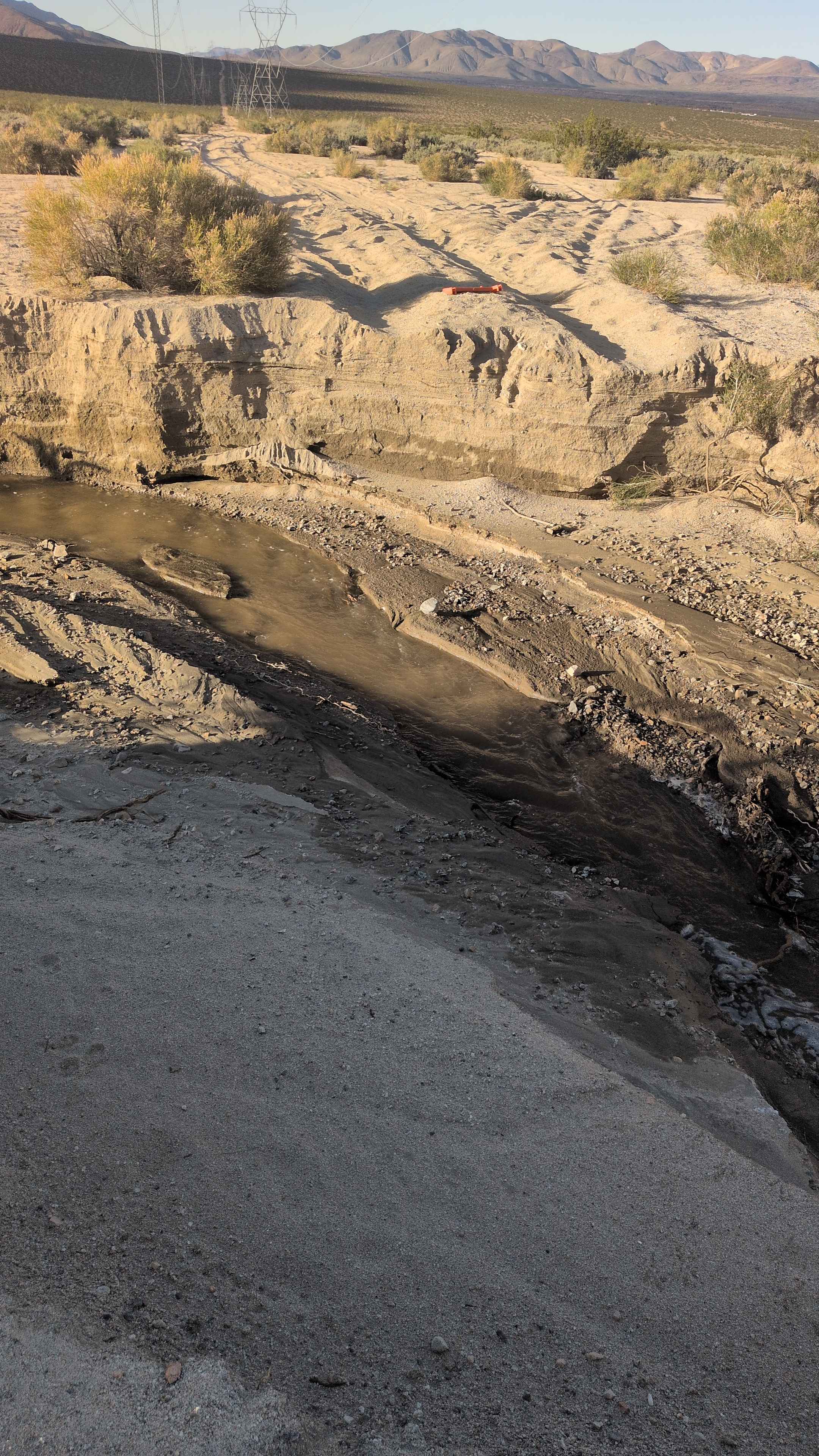
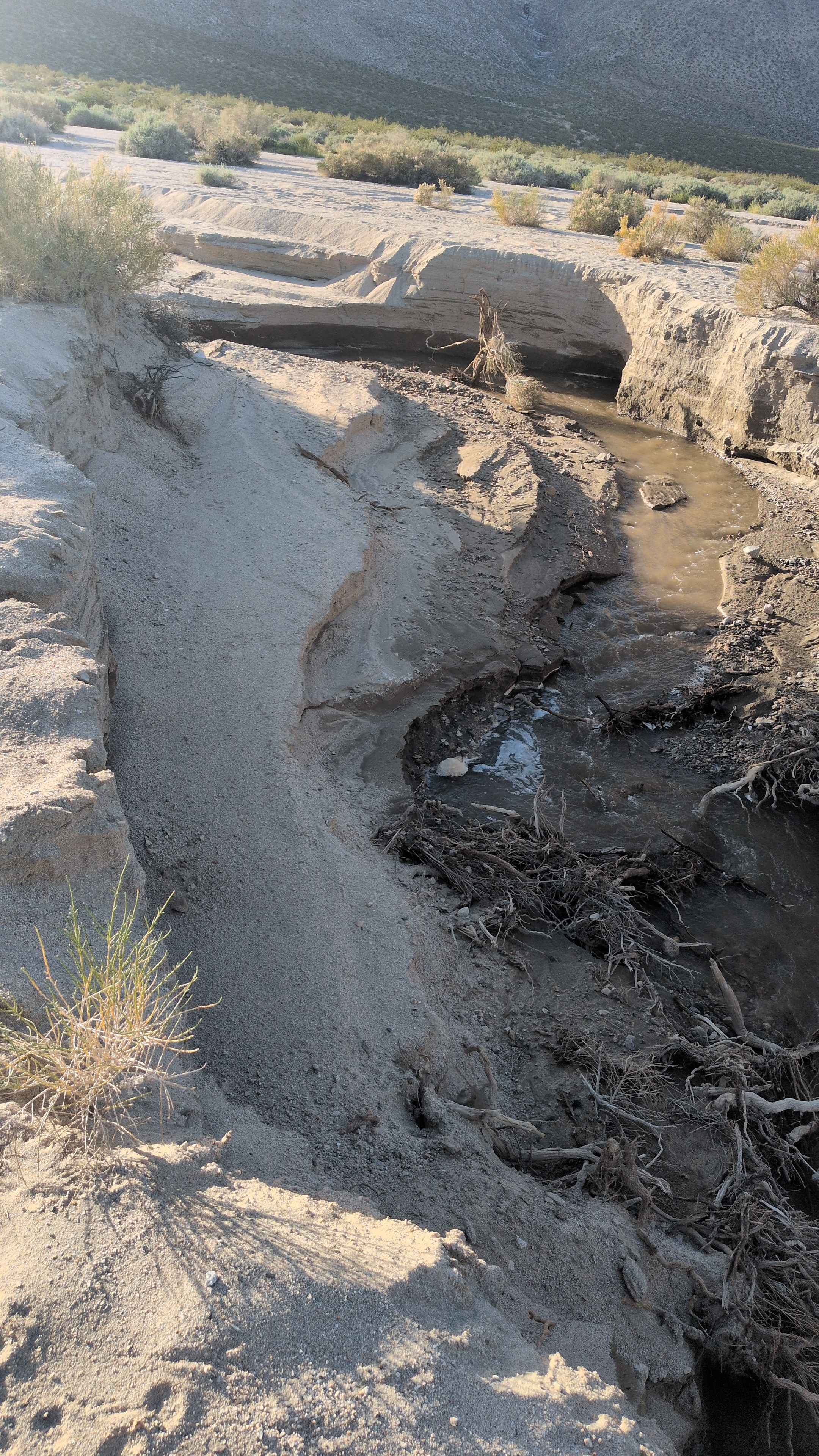
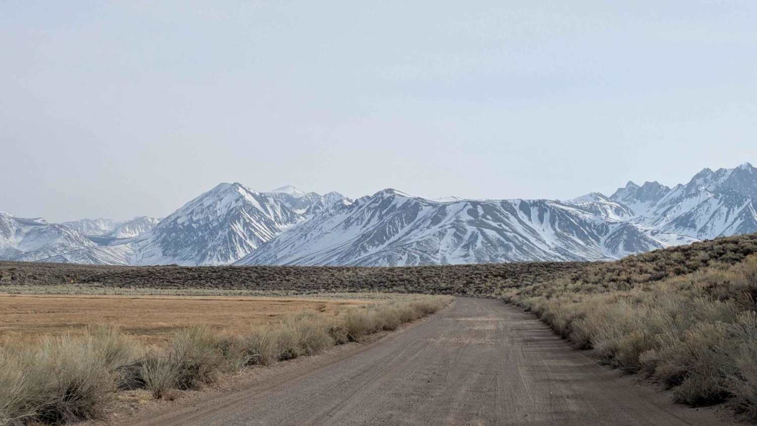
Following double power lines for navigation reference, this mostly sandy route starts near Sand Canyon and travels through No Name Canyon. Occasional rocks appear in the middle of the trail, requiring attention and line selection. Sand gets progressively deeper as you head east, transforming traction conditions as you advance. The journey ends abruptly 1 mile down, where a large washout with 4-foot walls blocks further progress, creating an impassable barrier that forces a turnaround.
Photos of BLM LAP No Name Canyon
Difficulty
Rating: 2/10 until the washout. The mostly sandy surface with sand getting deeper heading east requires four wheel drive and airing down for maintaining traction as conditions worsen. Those occasional rocks in the middle demand vigilance to avoid tire damage. Double power lines provide foolproof navigation. The large washout with 4-foot walls is completely impassable, turning this into a short 1-mile dead end rather than a through route. Plan for turnaround space at that abrupt ending.
Status Reports
BLM LAP No Name Canyon can be accessed by the following ride types:
- High-Clearance 4x4
- SUV
- SxS (60")
- ATV (50")
- Dirt Bike
BLM LAP No Name Canyon Map
Popular Trails
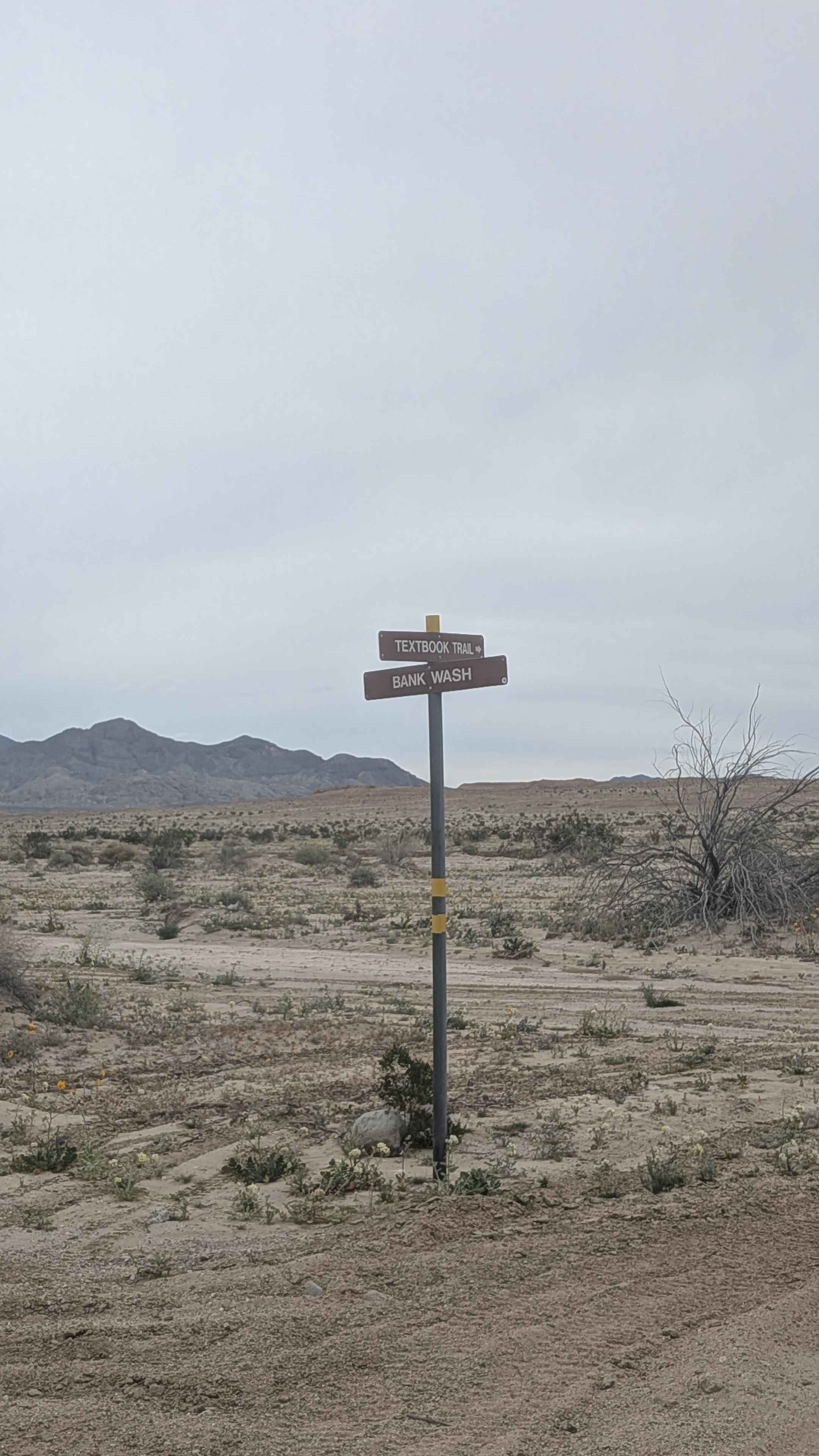
Textbook Trail
Owen's River Road

Red Mountain OHV Trail
The onX Offroad Difference
onX Offroad combines trail photos, descriptions, difficulty ratings, width restrictions, seasonality, and more in a user-friendly interface. Available on all devices, with offline access and full compatibility with CarPlay and Android Auto. Discover what you’re missing today!