Magee Ridge
Total Miles
0.8
Technical Rating
Best Time
Spring, Fall
Trail Type
50" Trail
Accessible By
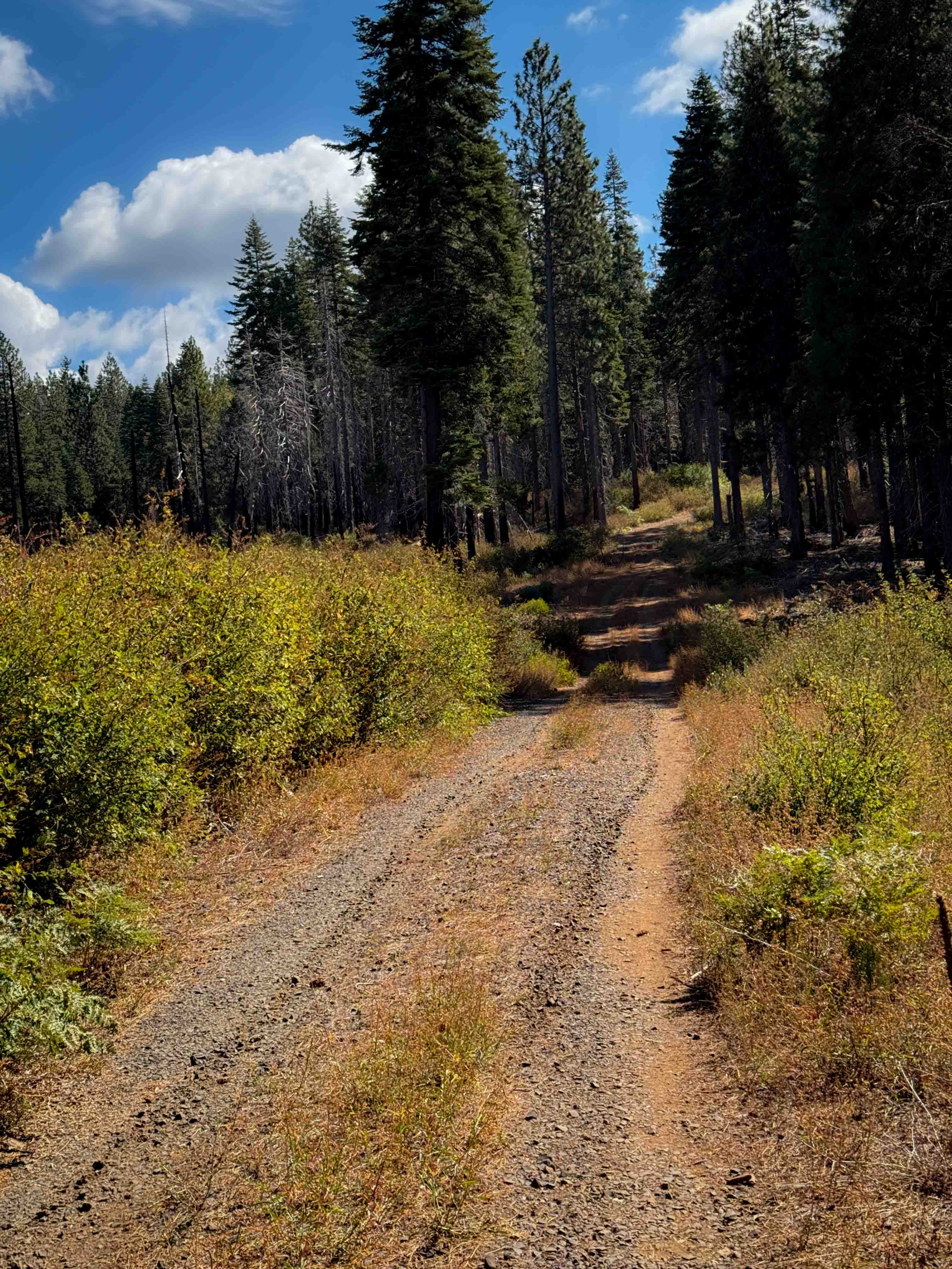
Trail Overview
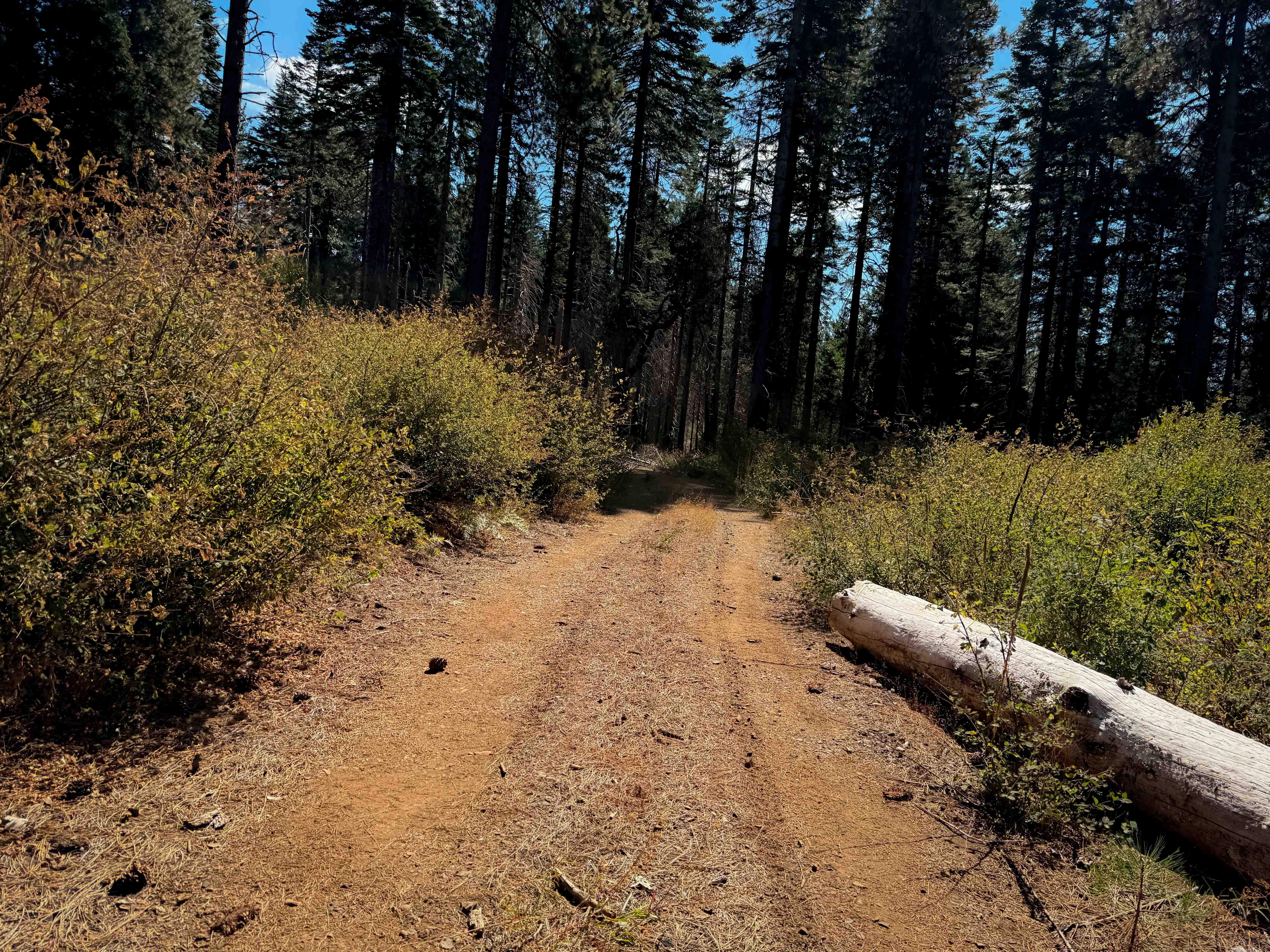
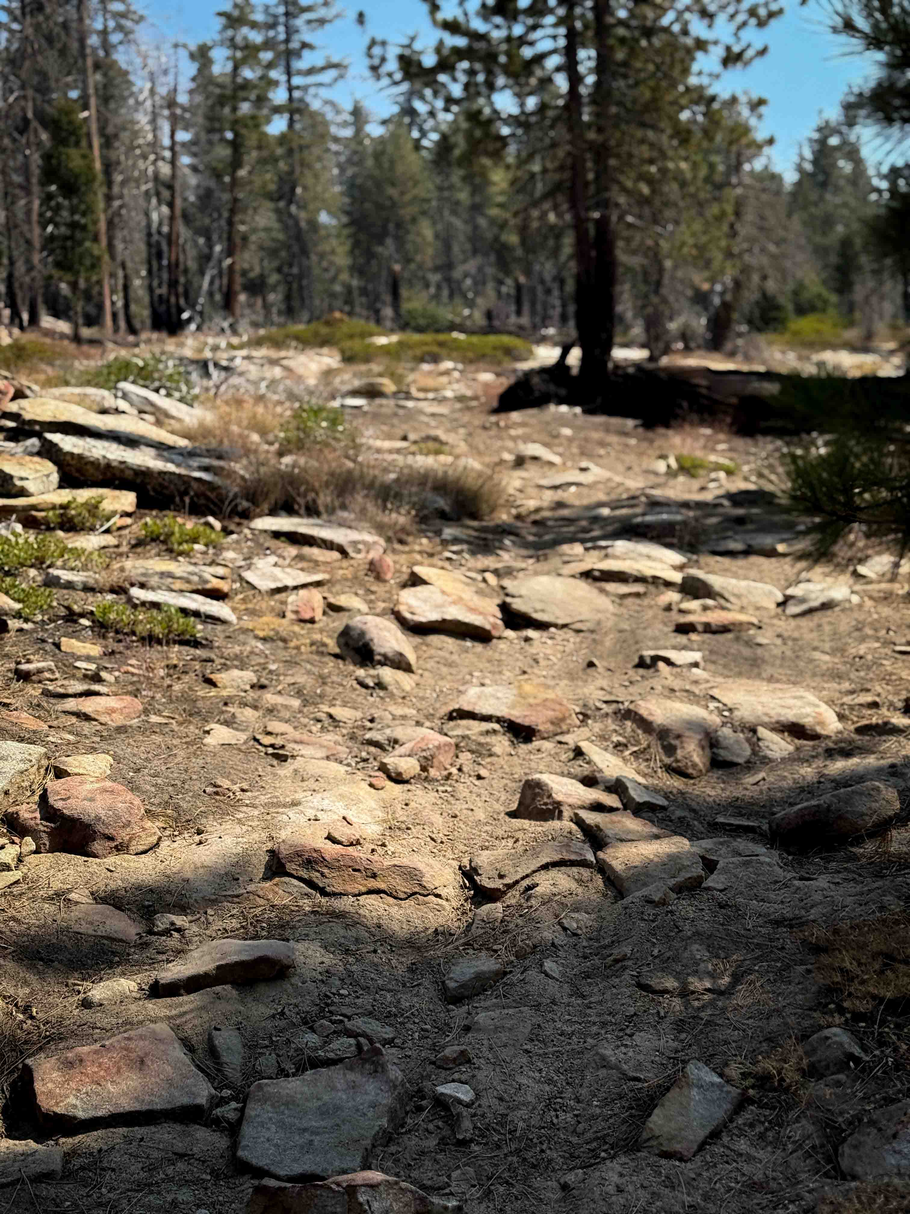
This is a short ATV trail in a remote and primitive section of the Plumas National Forest, accessed off of Four Trees Road. This area was damaged from a large fire in recent years. The entrance to this trail is not marked with a vehicle designation, and it is wide like a road, so it has probably had some use from full-width vehicles and logging trucks, as it goes past a couple slash piles. It's mostly flat and straight, with overgrown grassy sections. It has small loose gravel, lots of pine needles and pinecones, but not many large rocks. There was one big log down that would make it impassable for ATVs until cut. It goes along a shelf through the forest, overlooking the hills, and underneath towering Jeffrey pines with nice shade. It dead ends in the forest after about .7 miles. The trail itself is not much different from the road route that you take to get there, so it just extends the exploration a bit, and ATVs can continue to explore the other forest roads in this area.
Photos of Magee Ridge
Difficulty
This is an easy ATV trail as it is flat with no rock obstacles, but there is a large log that will need to be cleared to make it passable. It's wide and smooth and approachable for all riders.
Status Reports
Magee Ridge can be accessed by the following ride types:
- ATV (50")
- Dirt Bike
Magee Ridge Map
Popular Trails
Mill Valley Spur C - FS 17N02C

Black Canyon Rd
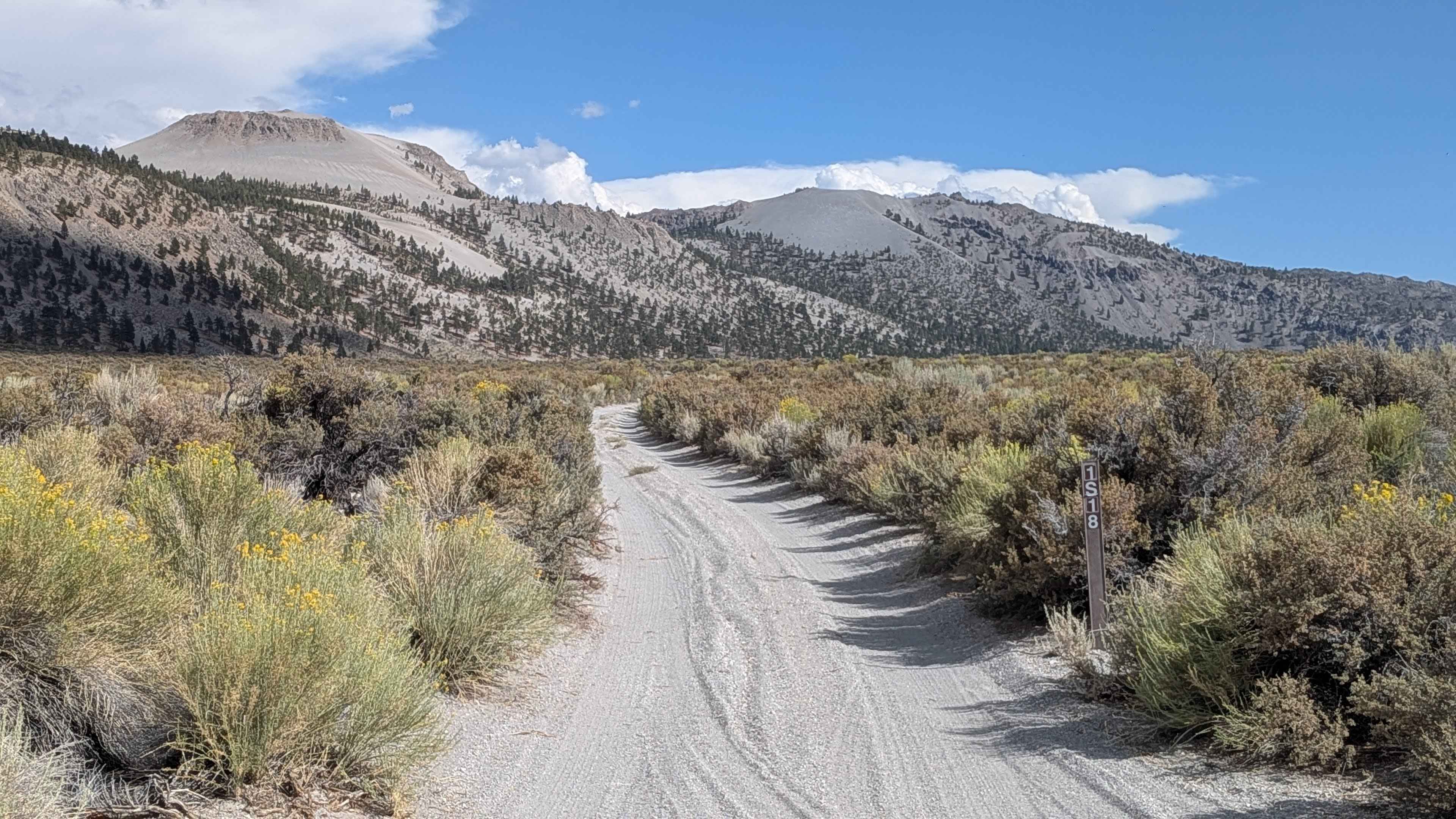
Crater Mountain - FS 1S18
The onX Offroad Difference
onX Offroad combines trail photos, descriptions, difficulty ratings, width restrictions, seasonality, and more in a user-friendly interface. Available on all devices, with offline access and full compatibility with CarPlay and Android Auto. Discover what you’re missing today!