BLM LAP Grapevine Canyon
Total Miles
5.0
Technical Rating
Best Time
Fall, Summer, Spring
Trail Type
Full-Width Road
Accessible By
Trail Overview
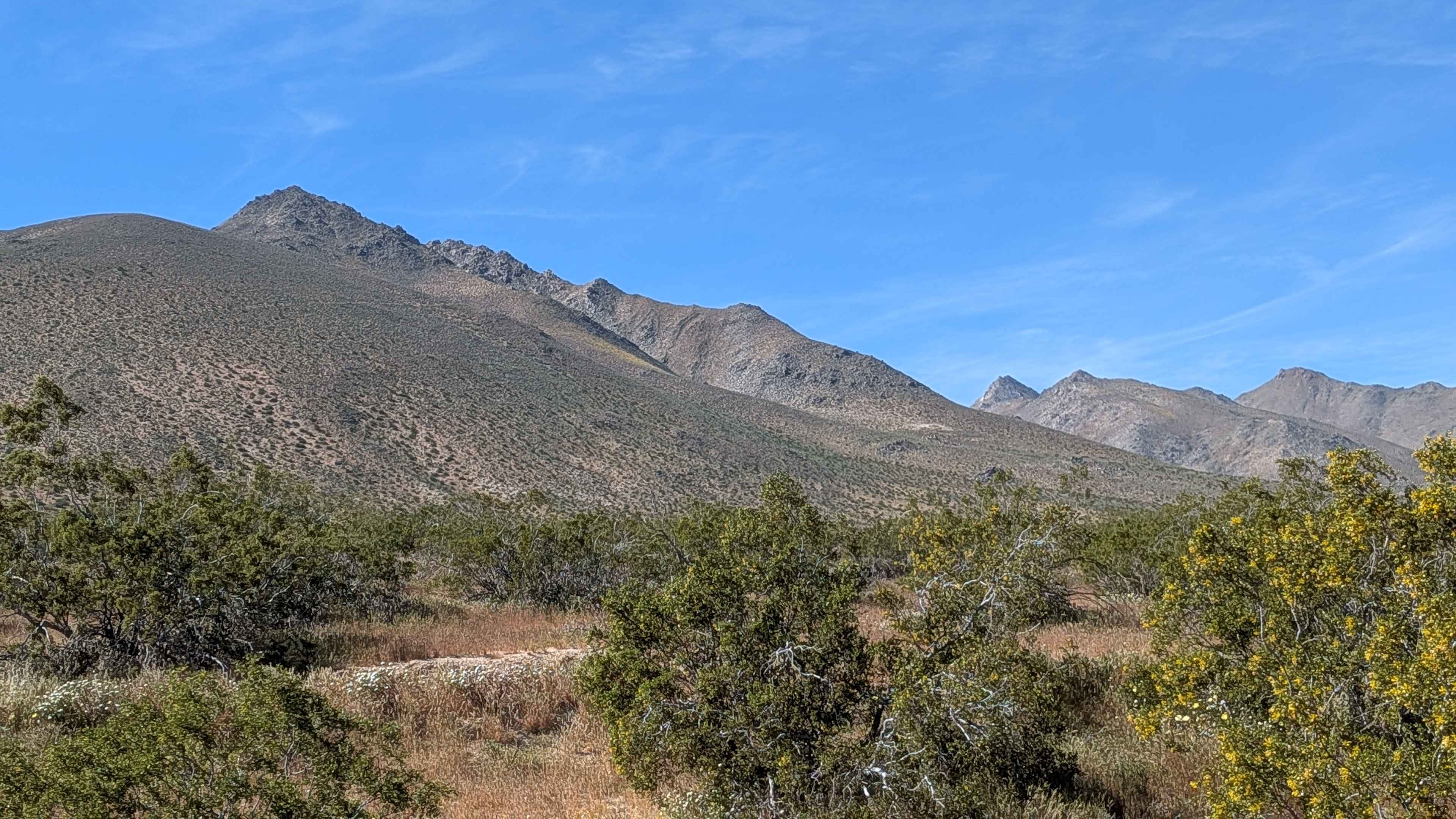
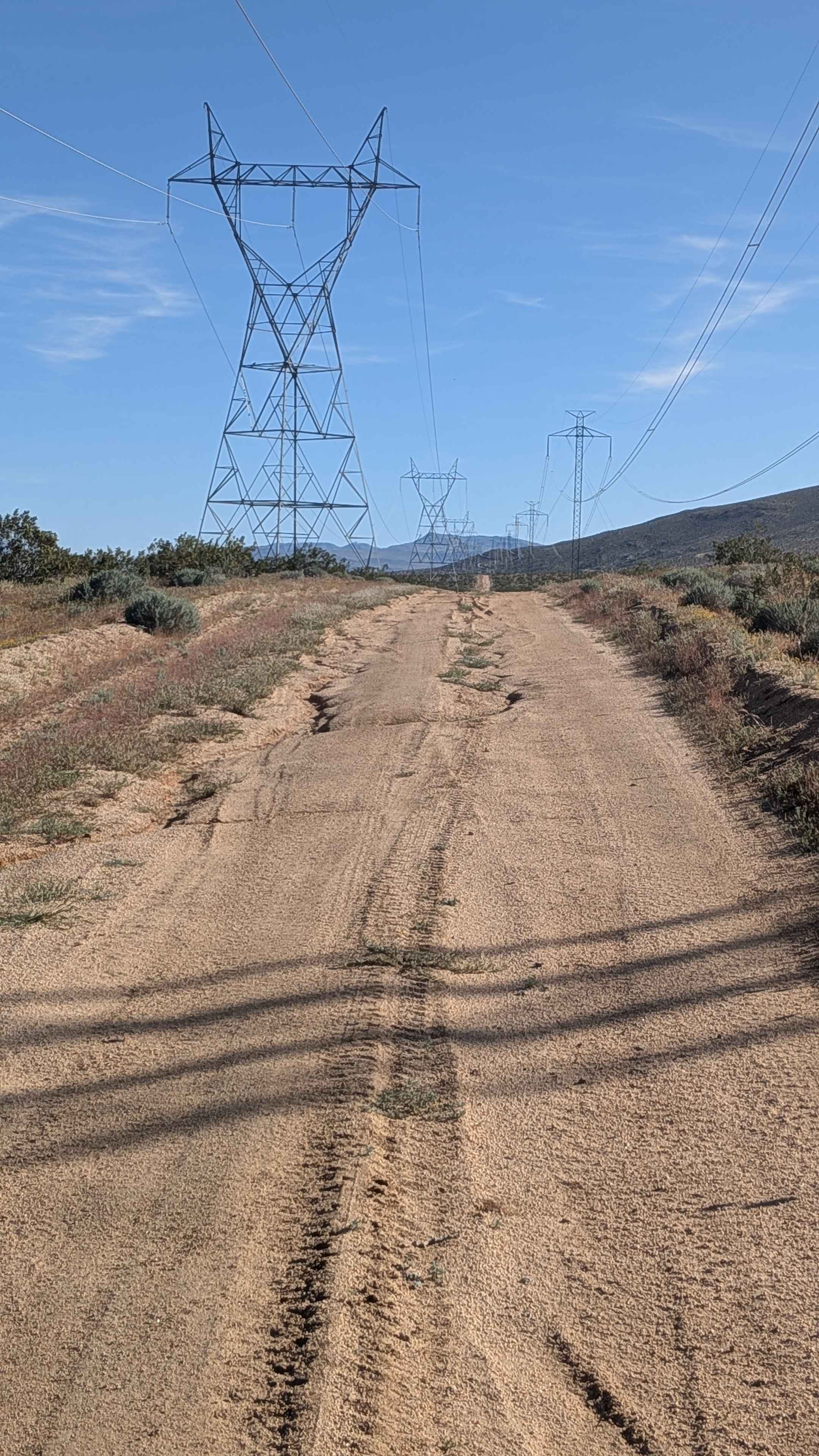
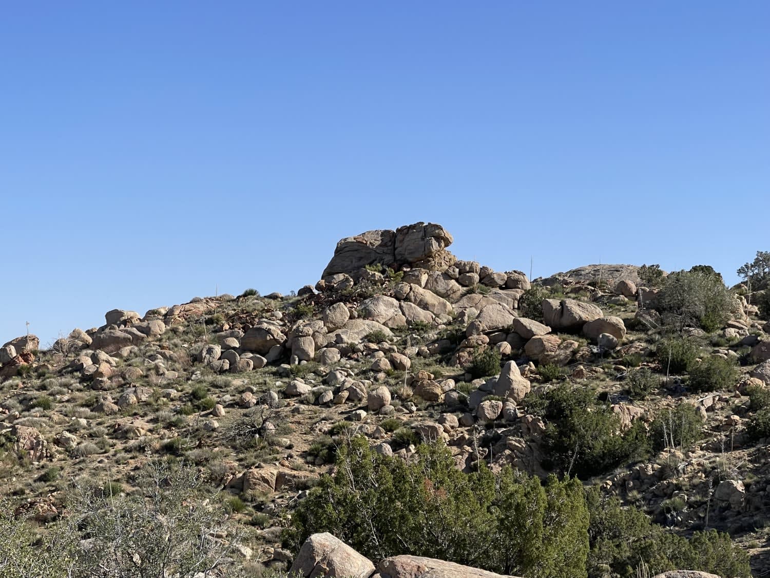
Following power lines for a reliable navigation reference, this sandy route navigates terrain punctuated with ruts, off-camber sections, and uneven spots, creating varied challenges. Great views unfold of Sand Canyon in the Eastern Sierra Mountains, with Ridgecrest visible and mountain ranges to the south completing the panoramic scenery. The power line corridor provides both navigation aid and scenic vantage points across this landscape.
Photos of BLM LAP Grapevine Canyon
Difficulty
The sandy surface with ruts, off-camber sections, and uneven spots creates manageable obstacles that demand attention without extreme difficulty. Airing down helps with sandy traction. The ruts require line selection awareness, while off-camber sections add tilt moments. Uneven spots keep you alert, but nothing stops forward progress with decent clearance. Power lines provide excellent navigation reference, eliminating getting lost concerns. Overall accessible terrain with scenic rewards.
Status Reports
BLM LAP Grapevine Canyon can be accessed by the following ride types:
- High-Clearance 4x4
- SUV
- SxS (60")
- ATV (50")
- Dirt Bike
BLM LAP Grapevine Canyon Map
Popular Trails
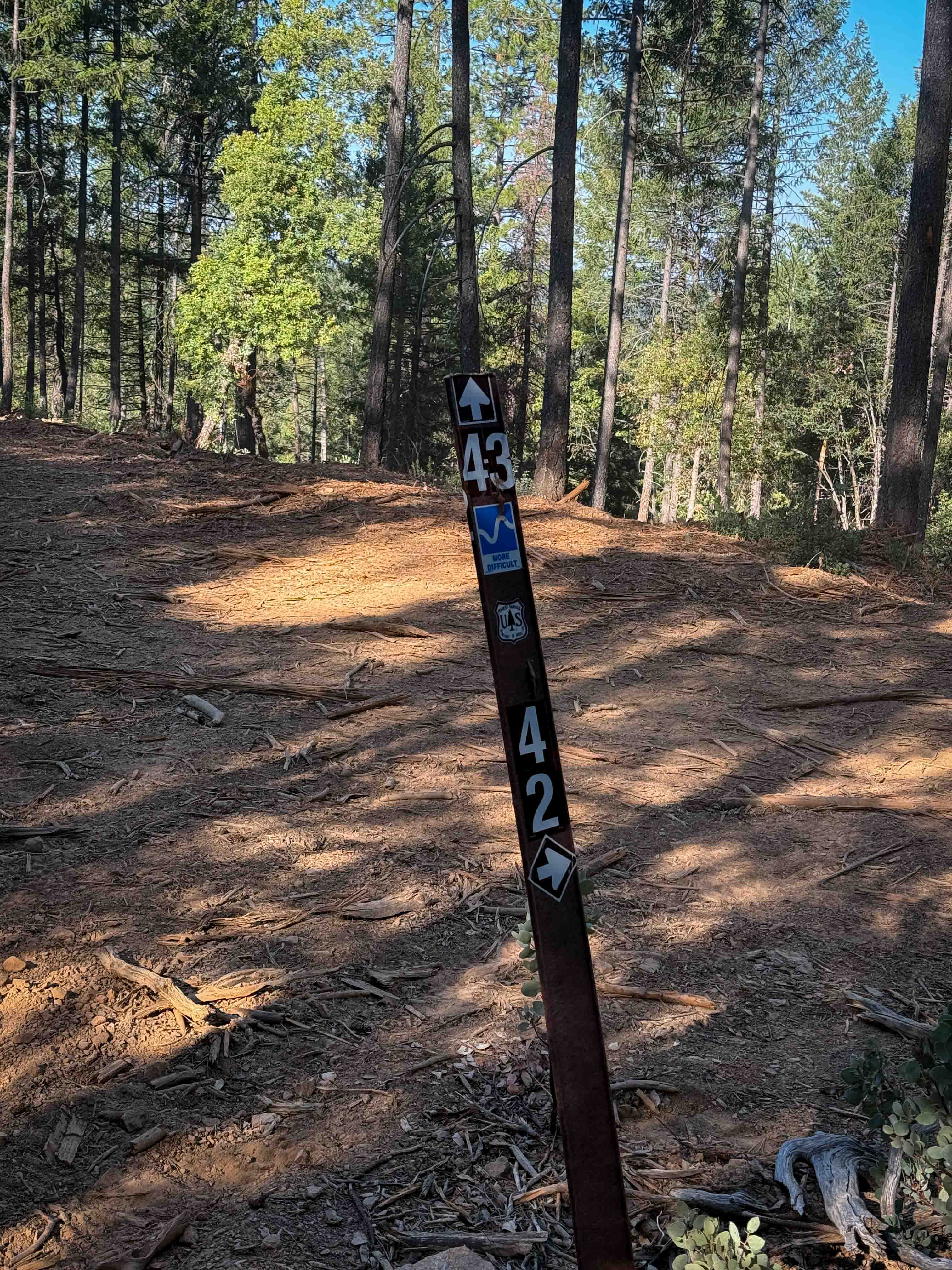
Trail 4-3 (11E34)

Blow Sand Canyon Road

Black Canyon
Oak Springs
The onX Offroad Difference
onX Offroad combines trail photos, descriptions, difficulty ratings, width restrictions, seasonality, and more in a user-friendly interface. Available on all devices, with offline access and full compatibility with CarPlay and Android Auto. Discover what you’re missing today!