Hawkins Peak Road
Total Miles
3.2
Technical Rating
Best Time
Summer, Fall
Trail Type
High-Clearance 4x4 Trail
Accessible By
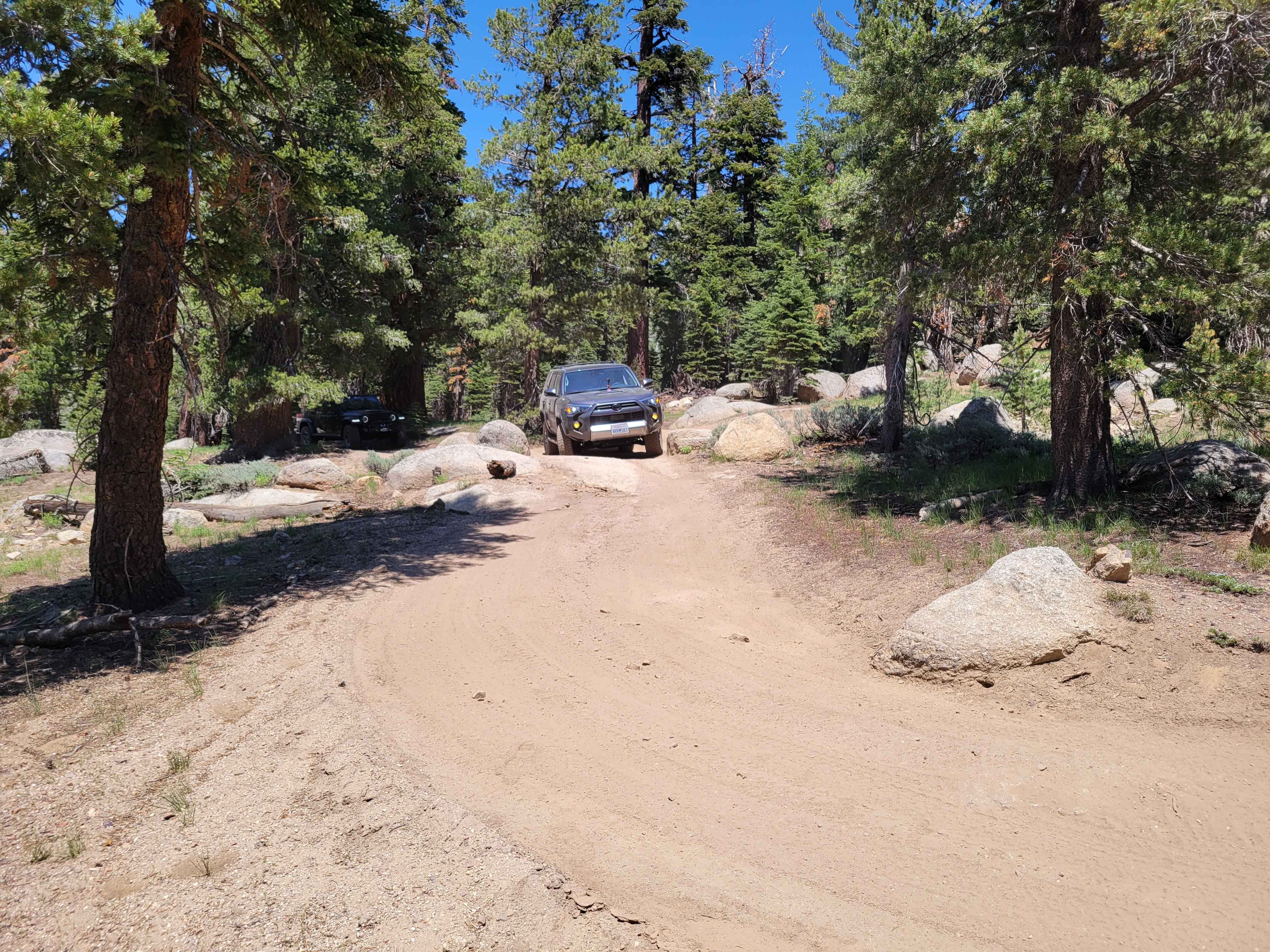
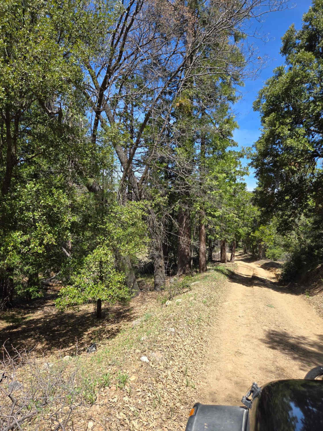
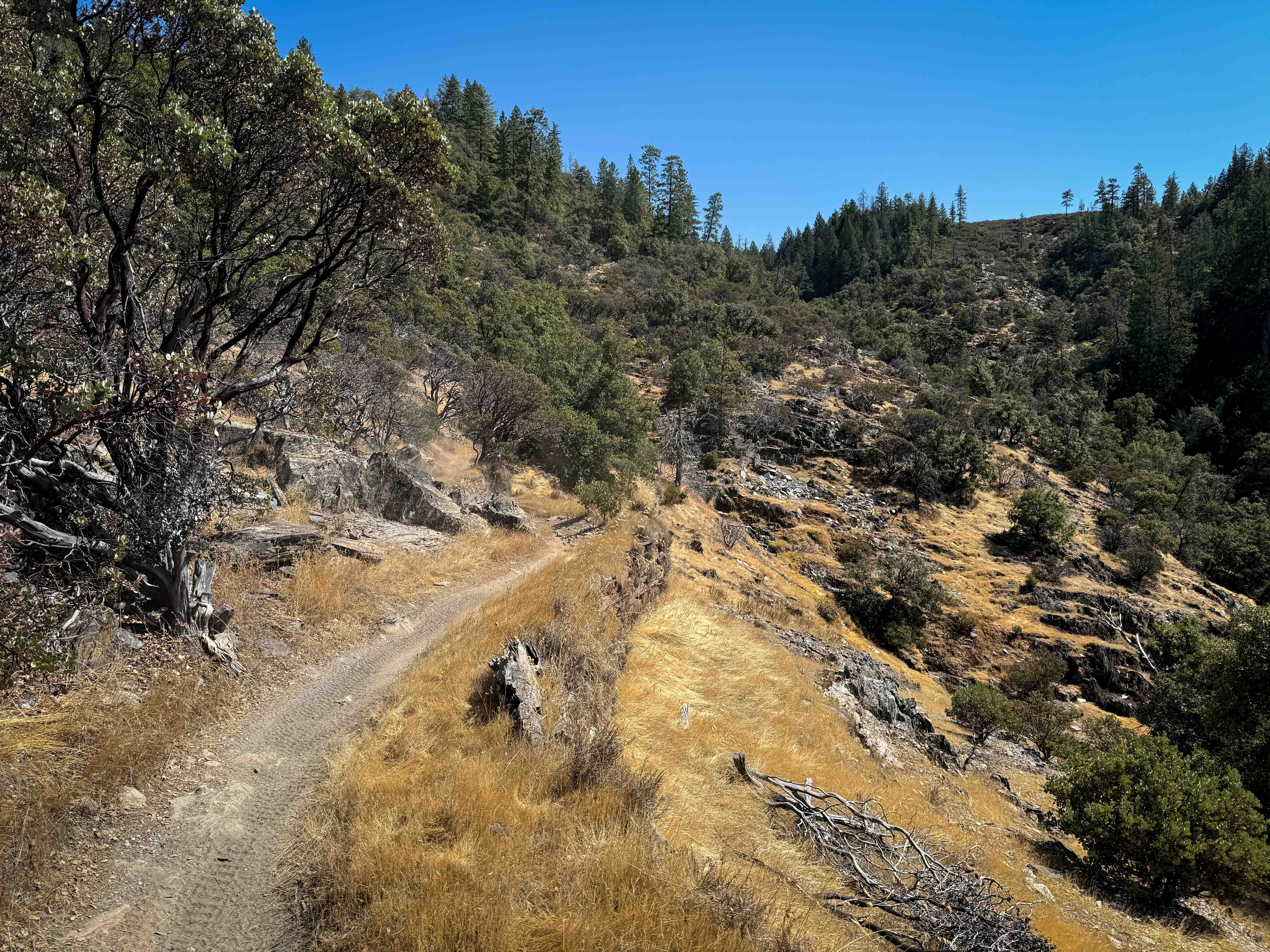
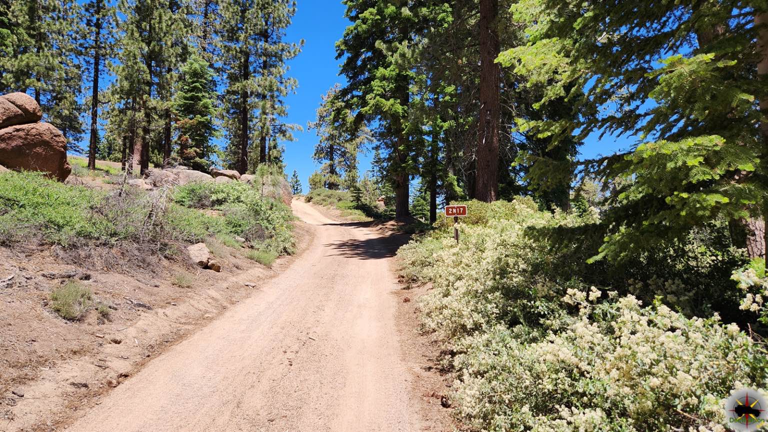
Trail Overview
Hawkins Peak Road begins as a gradual accent and is typically one vehicle wide with places to pass on this double track dirt trail. The trail gradually ascends from an elevation of 7,057 feet to 9,689 feet. There are no water crossings on this trail. Snow can be found on the East hill side of Hawkins peak as late in the season as in July. This double track trail is suited for off highway and 4WD high clearance vehicles. Not recommended for 2WD or AWD cars.
Photos of Hawkins Peak Road

Difficulty
Trail is unmaintained after rain or snow. The road is double track single vehicle width. A few tall stones and obstacles under 6" can be easily avoided. Ninety (90%) of the trail is easy but there are few minor eroded and rocky obstacles to navigate.
Status Reports
Hawkins Peak Road can be accessed by the following ride types:
- High-Clearance 4x4
- SxS (60")
- ATV (50")
- Dirt Bike
Hawkins Peak Road Map
Popular Trails

40 to 95 through Homer Mountain
Trail 1-4 (11E42)
Camp Osito - FS 2N17
The onX Offroad Difference
onX Offroad combines trail photos, descriptions, difficulty ratings, width restrictions, seasonality, and more in a user-friendly interface. Available on all devices, with offline access and full compatibility with CarPlay and Android Auto. Discover what you’re missing today!