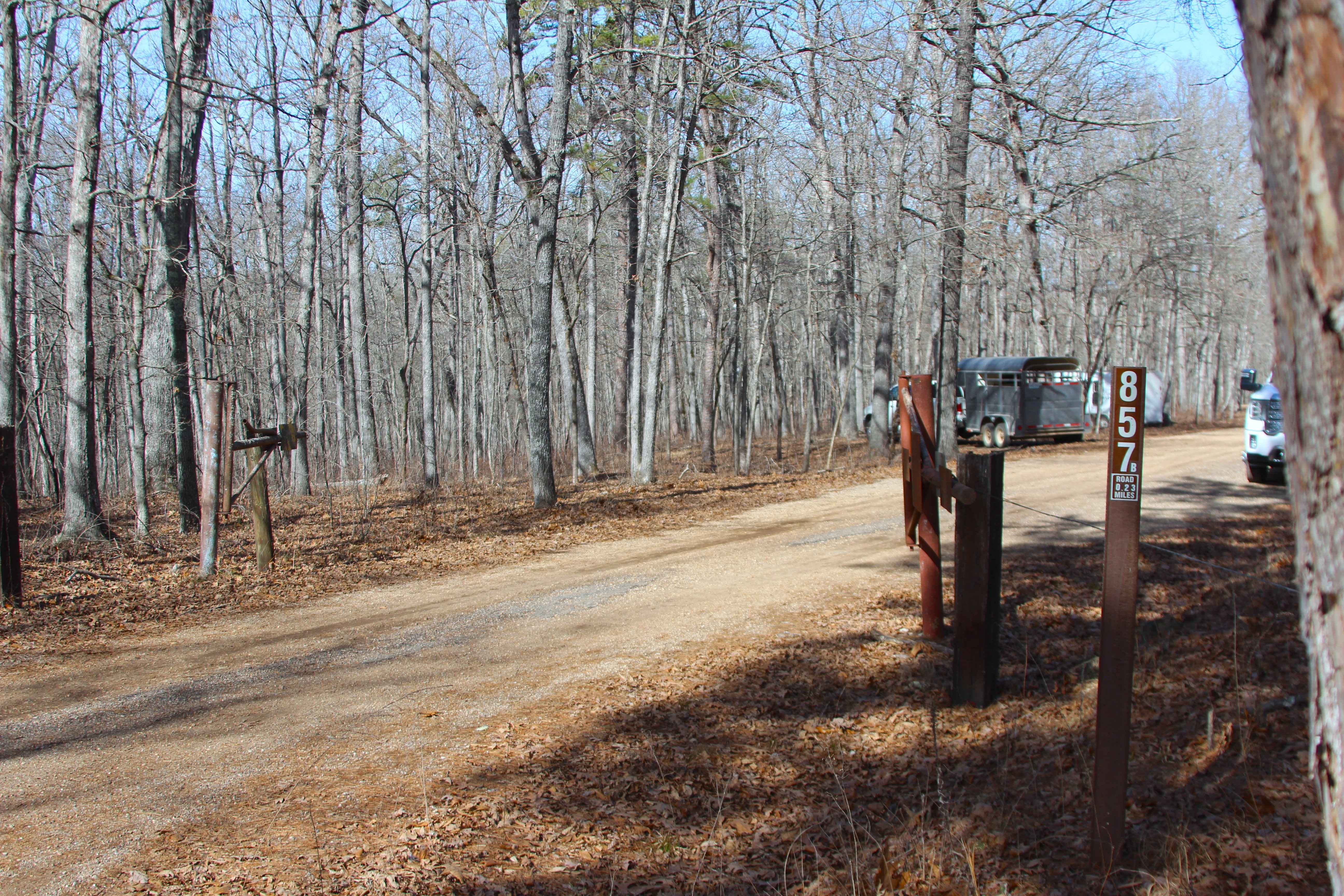
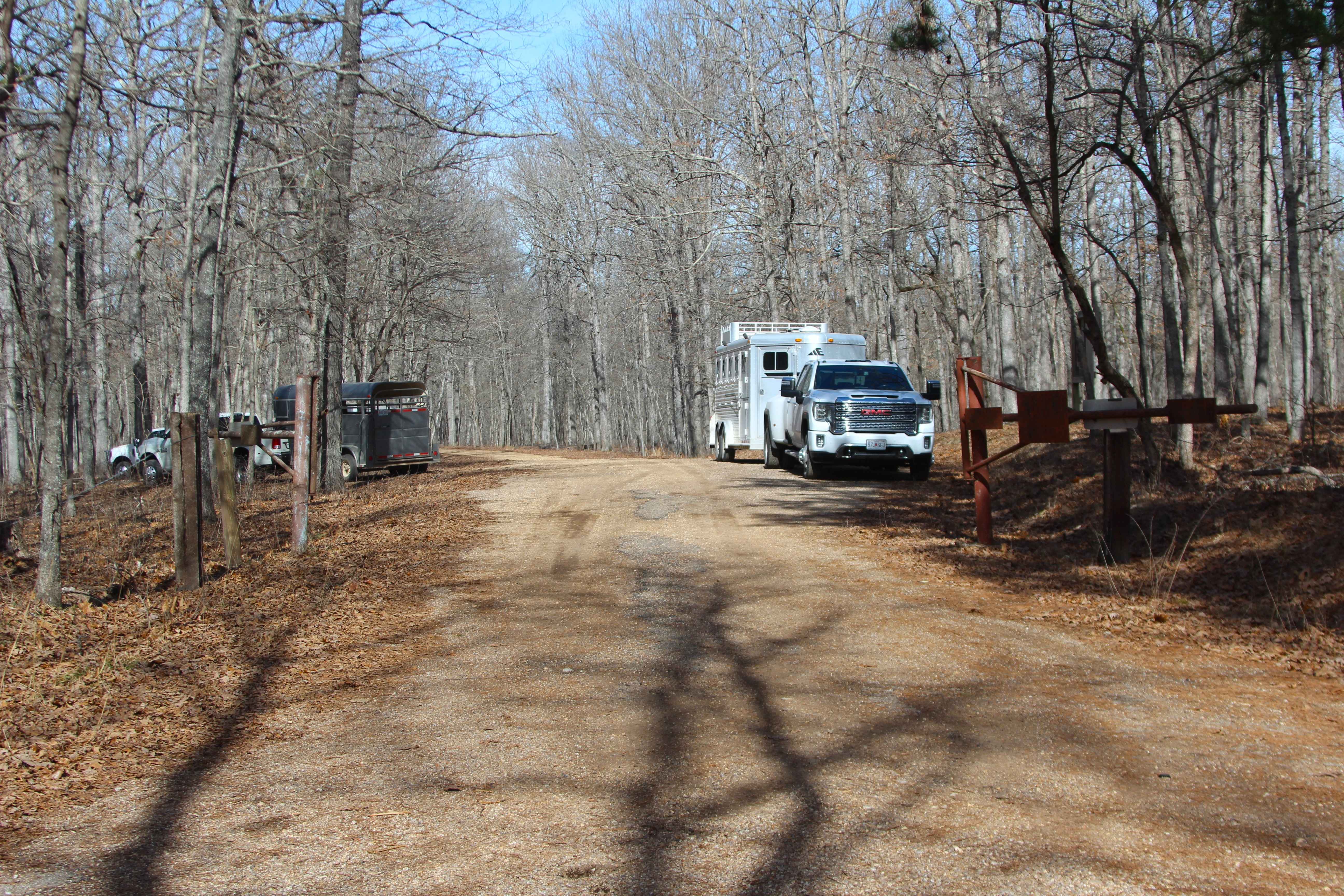
Sugar Hill Loop - FS 857B
Total Miles
0.3
Technical Rating
Best Time
Spring, Summer, Winter, Fall
Trail Type
Full-Width Road
Accessible By
Trail Overview
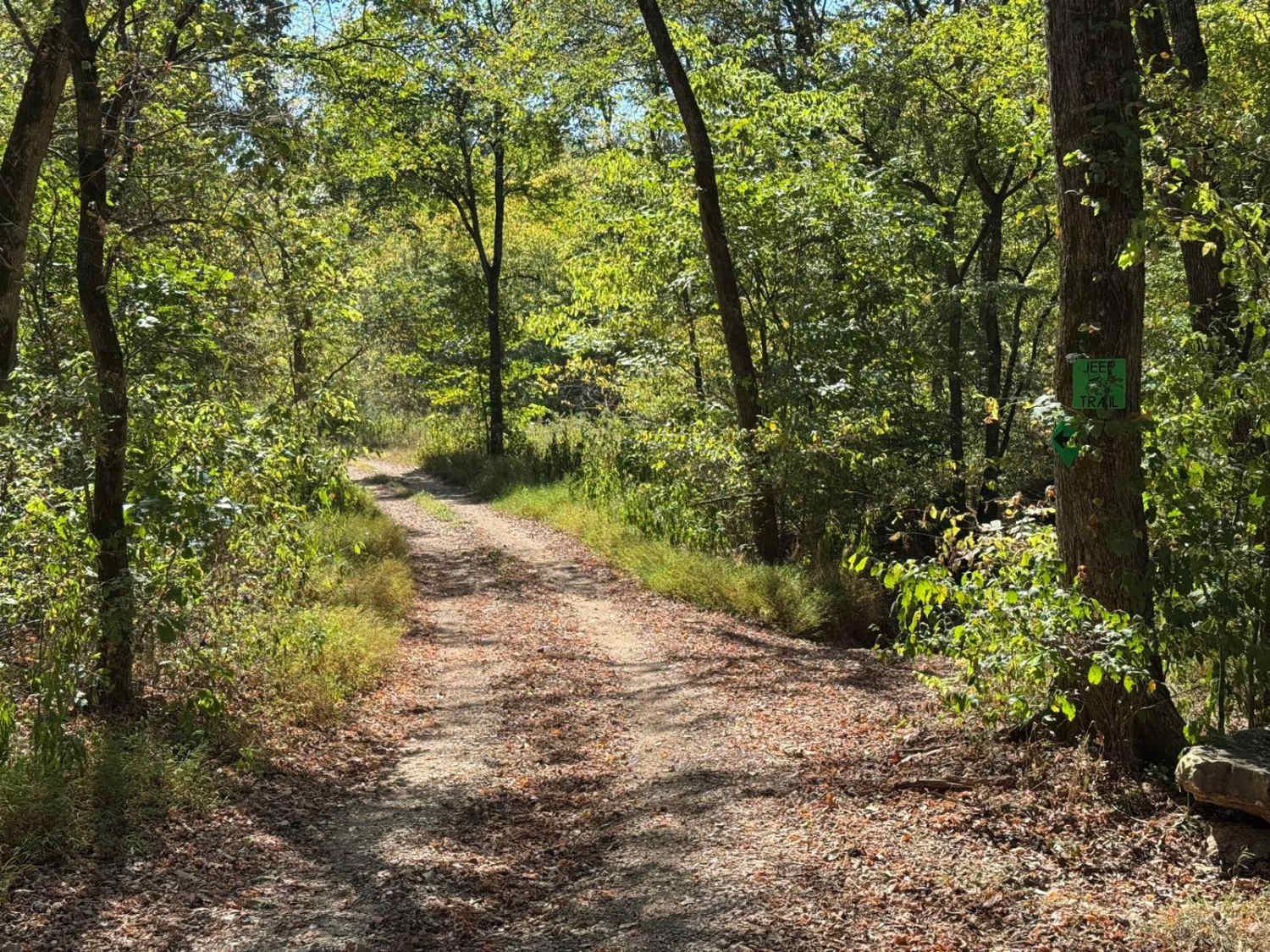
Sugar Hill Loop (FS 857B) is a former paved campground road, now a gravel forest service road within the Noblett Lake Day Use Area in Willow Springs Unit of Mark Twain National Forest. The road begins heading north off the paved Noblett Lake Rec Area FS 857 that is used as the main road through Noblett Day Use Area, quickly following along the ridge top, overlooking the Noblett Lake valley to the roads north and northeast. Along the road there is several established parking spaces, being the former RV and camp parking spaces, several of which still have fire rings to use for daytime use, at the end there is a loop for ease of turning around with a horse trailer or rig trailer. The road is commonly used by horse riders to park truck and trailers closely to the Noblett Trailhead that is located across the FS 857 to the south of the FS 857B entry. A useful area to stage and meet and or gather to enjoy the other facilities and recreation the Lake has to offer.
Photos of Sugar Hill Loop - FS 857B
Difficulty
Sugar Hill Loop FS 857B is given a 1/10 base rating, being a simple flat ridge road, only having potholes, washboarding, and mounding of the gravel over the broken old remains of the former asphalt road.
History
Sugar Hill Loop was formerly the camper, RV, and tent campground section within the Noblett Lake Recreation area, before it ceased its overnight facilities, and was then turned into a Day Use only area. The road still has many elements of the former overnight facilities such as the parking areas designed and sized for campers and RV vehicles, and fire rings. --- Noblett Dam and Lake was a major project orchestrated by Camp Willow CCC Company 1739. The project started in 1938 and led to 1940 when the Dam was finished and it was dedicated as Noblett Lake. --- On the weekend of March 21st 2026, OnX Offroad partnered with local organizations, Rallye In The Ozarks, Heartland Trail Trash, and Critter's Clean Up and Cruise, to host an OnX Offroad Trail Revival Project, to remove 3 large illegal tire dumps, and conduct an additional litter pick-up. The results were impressive, yielding 348 tires and 3000lbs of trash (including an ice chest, 4 couches, and a variety of small litter) being removed from the Mark Twain National Forest in that singular day. Noblett Day Use Area was used as the main clean up headquarters and dumpster location, utilizing the pavilion area to cook and meet at FS 857A, and FS 857B for staging the dumpster to unloading trash and stack tires at the turnaround loop. Documented by Christopher Menz in 3/2026
Status Reports
Sugar Hill Loop - FS 857B can be accessed by the following ride types:
- High-Clearance 4x4
- SUV
- SxS (60")
- ATV (50")
- Dirt Bike
Sugar Hill Loop - FS 857B Map
Popular Trails

The onX Offroad Difference
onX Offroad combines trail photos, descriptions, difficulty ratings, width restrictions, seasonality, and more in a user-friendly interface. Available on all devices, with offline access and full compatibility with CarPlay and Android Auto. Discover what you’re missing today!