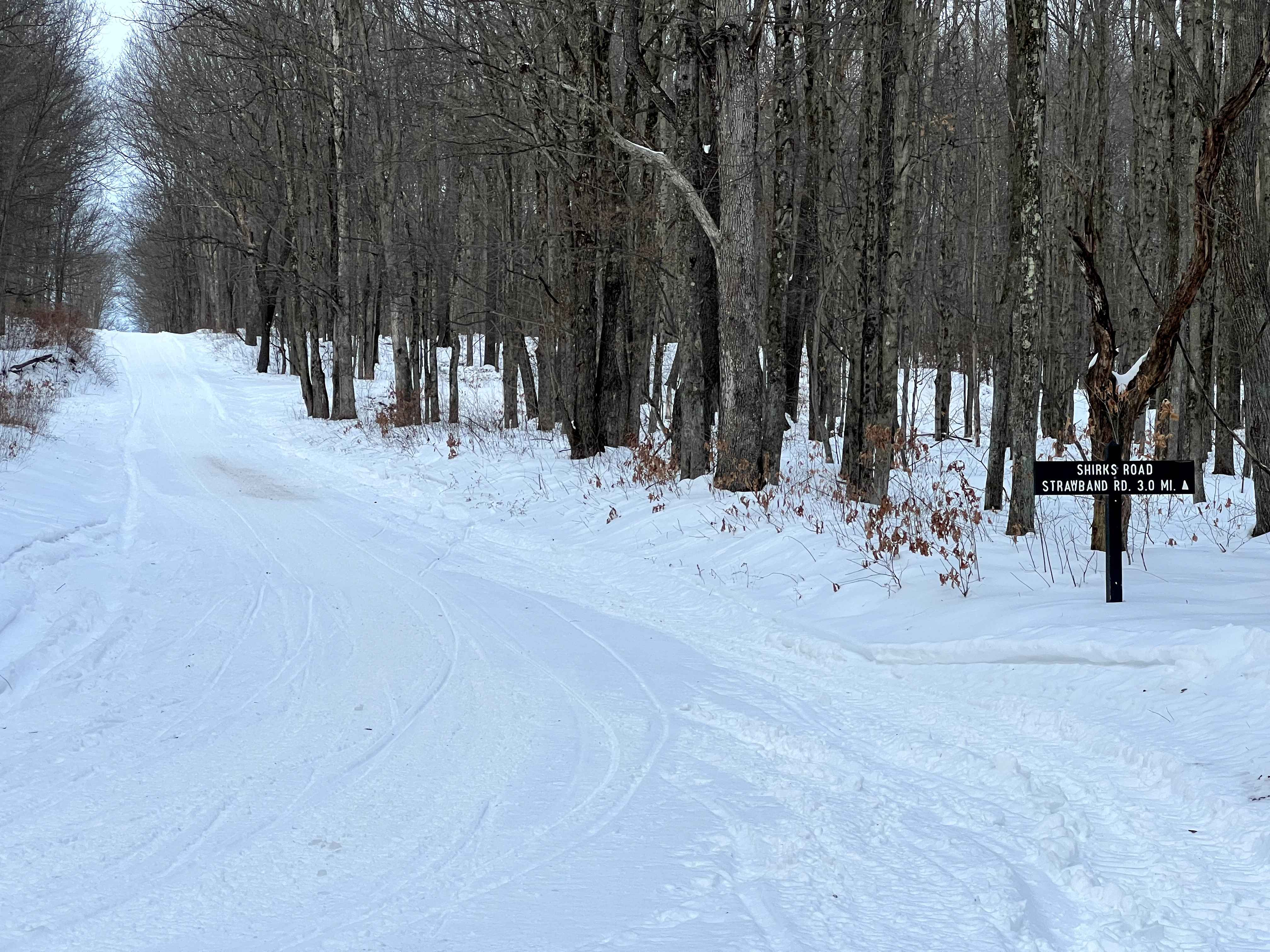
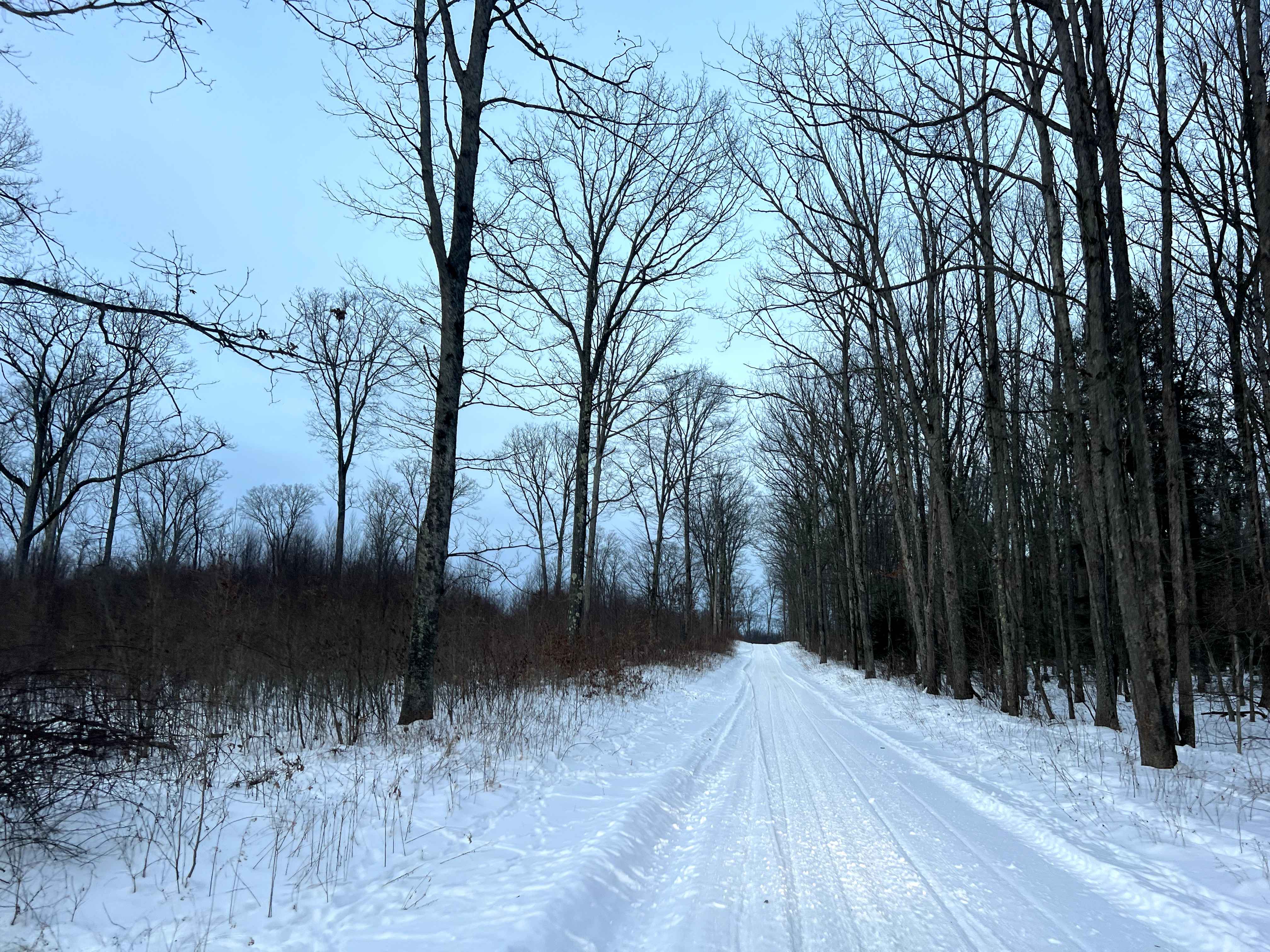
Shirks Road
Total Miles
2.9
Technical Rating
Best Time
Spring, Summer, Fall
Trail Type
Full-Width Road
Accessible By
Trail Overview
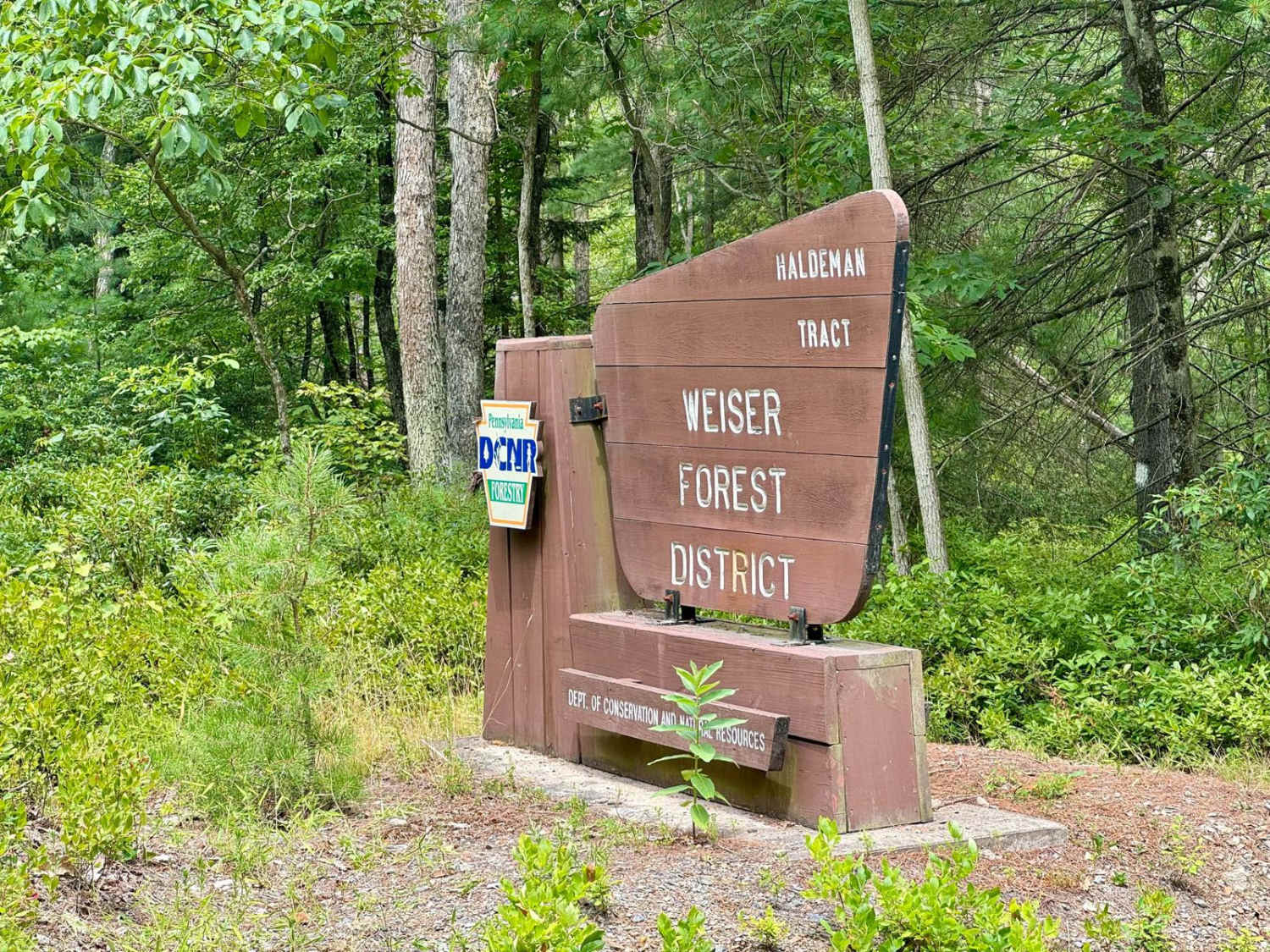
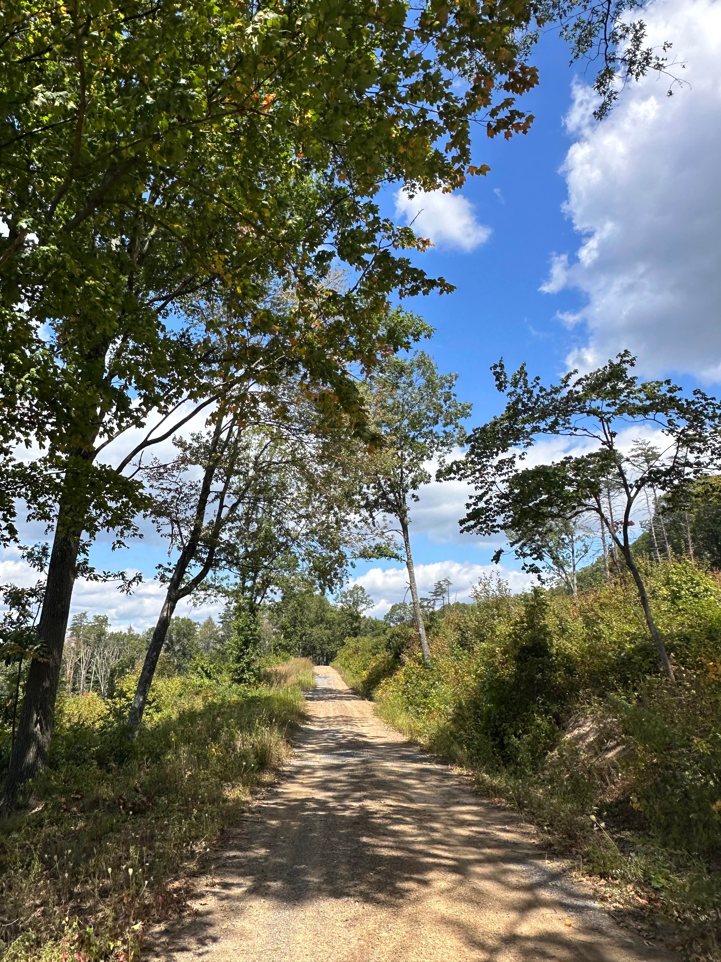
Shirks Road is a well-maintained, wide gravel road serving as a connector between Clay Mine Road and Strawband Beaver Road. The majority of the road borders Black Moshannon State Park and touches the perimeter of Mid-State Regional Airport. There are plenty of opportunities to pass or pull over along the way. It also crosses a small creek and provides access to the Allegheny Front Trail, a singletrack hiking trail. This road is accessible year-round, though winter maintenance will be limited to none.
Photos of Shirks Road
Difficulty
Shirks Road is a well-maintained primary gravel forest road with no notable obstacles. Expect it to be unmaintained in winter.
History
There is a sign near the bridge at the creek detailing the history of a Native American path through this area.
Status Reports
Shirks Road can be accessed by the following ride types:
- High-Clearance 4x4
- SUV
Shirks Road Map
Popular Trails
Haldeman Tract Air & Space


Ashland 183
The onX Offroad Difference
onX Offroad combines trail photos, descriptions, difficulty ratings, width restrictions, seasonality, and more in a user-friendly interface. Available on all devices, with offline access and full compatibility with CarPlay and Android Auto. Discover what you’re missing today!