South Miami Canal Connect
Total Miles
8.6
Technical Rating
Best Time
Spring, Summer, Fall, Winter
Trail Type
Full-Width Road
Accessible By
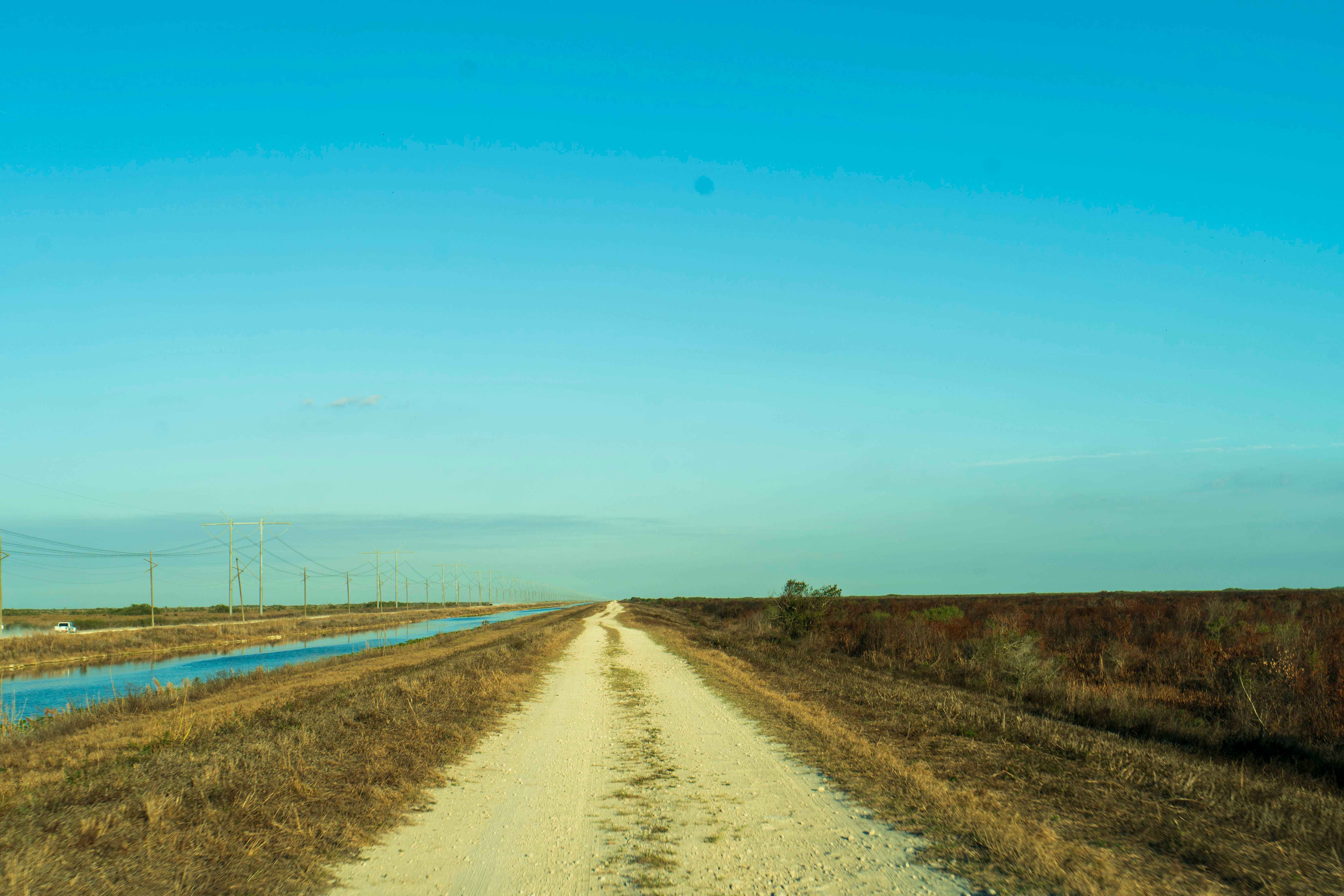
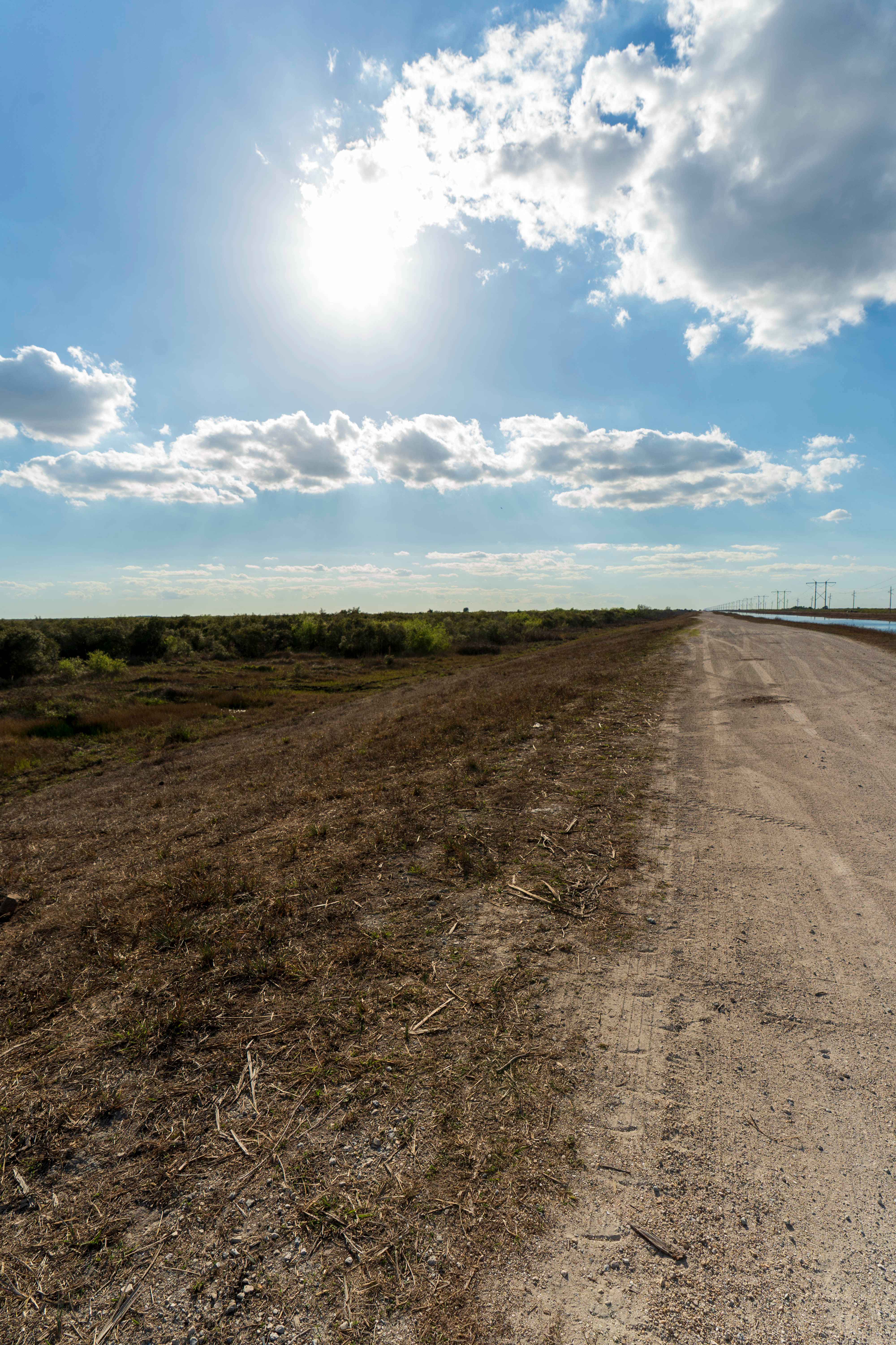
Trail Overview
South Miami Canal Connect just north of the Everglades Wildlife Management Area, which runs along a canal with a hardpack dirt and sand surface mixed with scattered rocks. Grass lines the lower sections near the water, and the opposite side includes open access commonly used by ATVs, SxS, and buggies. Conditions are firm in dry weather, though rain can create muddy patches. There are no designated staging areas, bathrooms, campsites, permits, or fees, but grass areas are commonly used for parking. Public boat ramps sit at the end of the main segments, and traffic tends to increase on weekends. Cell service is generally available, and the area supports a variety of South Florida wildlife.
Photos of South Miami Canal Connect
Difficulty
When muddy, it can provide for a more difficult time getting through this trail. There are many potholes in the sand/gravel that, at higher speeds, can be noticeable. The trail is not straight.
Status Reports
South Miami Canal Connect can be accessed by the following ride types:
- High-Clearance 4x4
- SUV
- SxS (60")
- ATV (50")
- Dirt Bike
South Miami Canal Connect Map
Popular Trails
Snake Road


Kirkpatrick Dam Trail
The onX Offroad Difference
onX Offroad combines trail photos, descriptions, difficulty ratings, width restrictions, seasonality, and more in a user-friendly interface. Available on all devices, with offline access and full compatibility with CarPlay and Android Auto. Discover what you’re missing today!