Taylor Lake/Lucky S Mine/Kettle Rock Lookout Loop
Total Miles
19.0
Technical Rating
Best Time
Spring, Summer, Fall
Trail Type
Full-Width Road
Accessible By
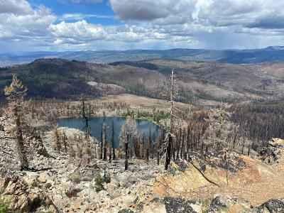
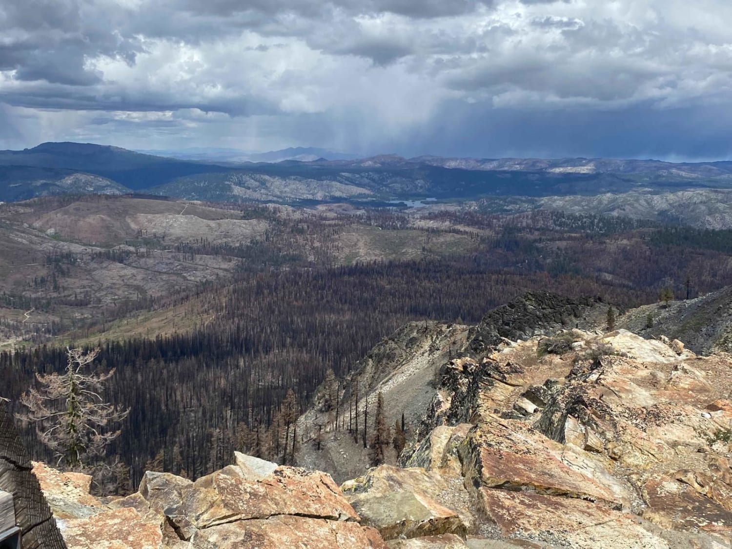
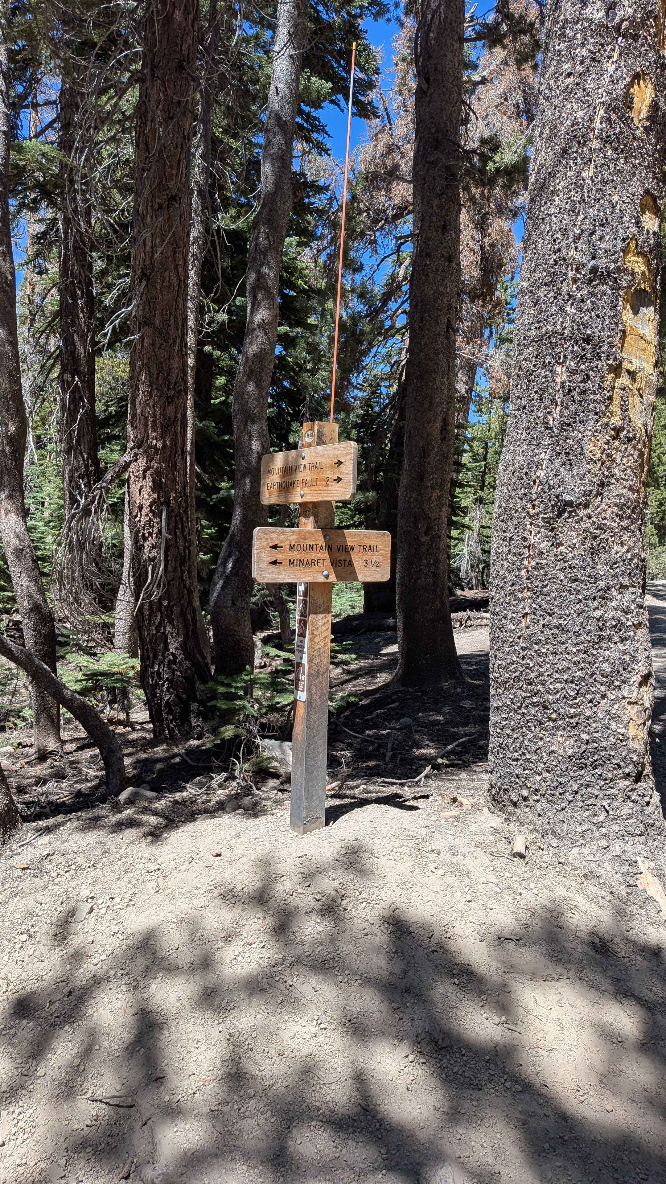
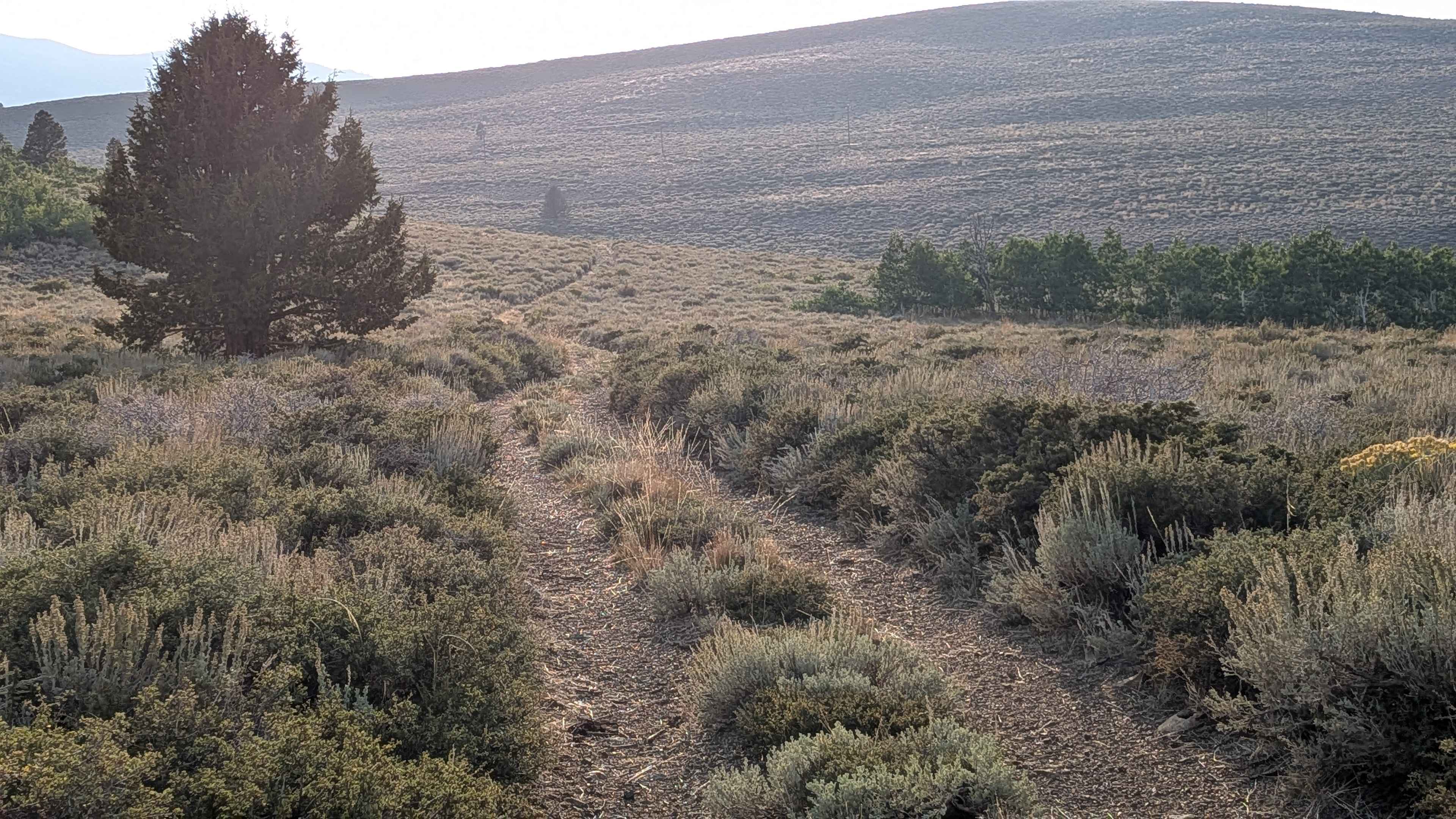
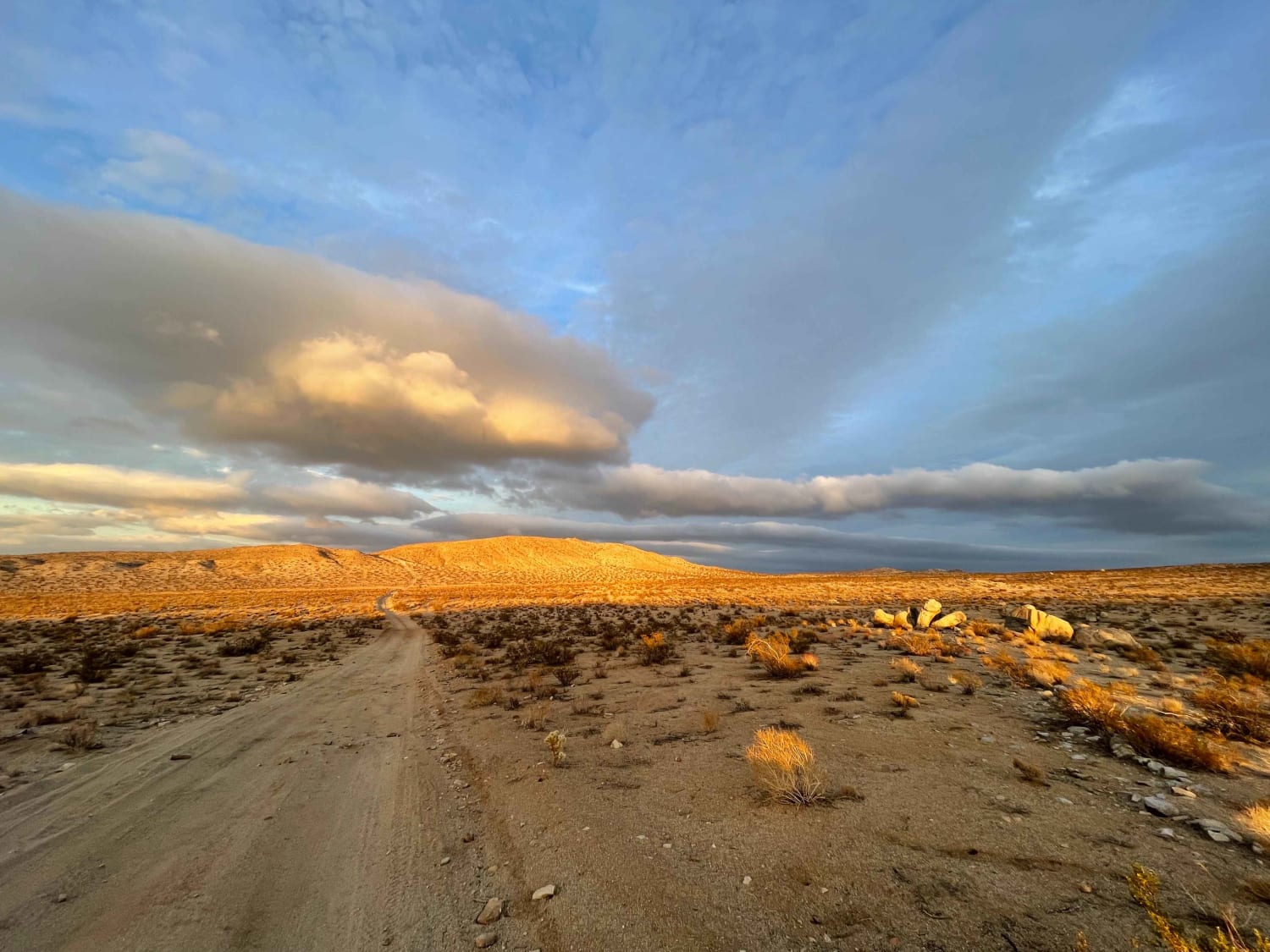
Trail Overview
The trail has smooth flowing sections, loose, rocky climbs, and hardpacked rocky roads with seasonal low water crossings. The road up to the lookout is steep with loose rock. Leading up to and past Taylor Lake is a hard-packed rock trail that is best traveled with high-ground clearance vehicles. At Lucky S Mine there is a 100-yard section that can be muddy and rutted.
Photos of Taylor Lake/Lucky S Mine/Kettle Rock Lookout Loop
Difficulty
Portions are very rocky, sometimes loose.
History
The Lucky S Mine was an active copper mine in the early 1900s, and there are several intact buildings and tailings to explore.
Status Reports
Taylor Lake/Lucky S Mine/Kettle Rock Lookout Loop can be accessed by the following ride types:
- High-Clearance 4x4
- SUV
- SxS (60")
- ATV (50")
- Dirt Bike
Taylor Lake/Lucky S Mine/Kettle Rock Lookout Loop Map
Popular Trails

North Fork Arroyo Salado
Dry Creek Flats Upper - FS3S89
Western Boundary Road Main
The onX Offroad Difference
onX Offroad combines trail photos, descriptions, difficulty ratings, width restrictions, seasonality, and more in a user-friendly interface. Available on all devices, with offline access and full compatibility with CarPlay and Android Auto. Discover what you’re missing today!