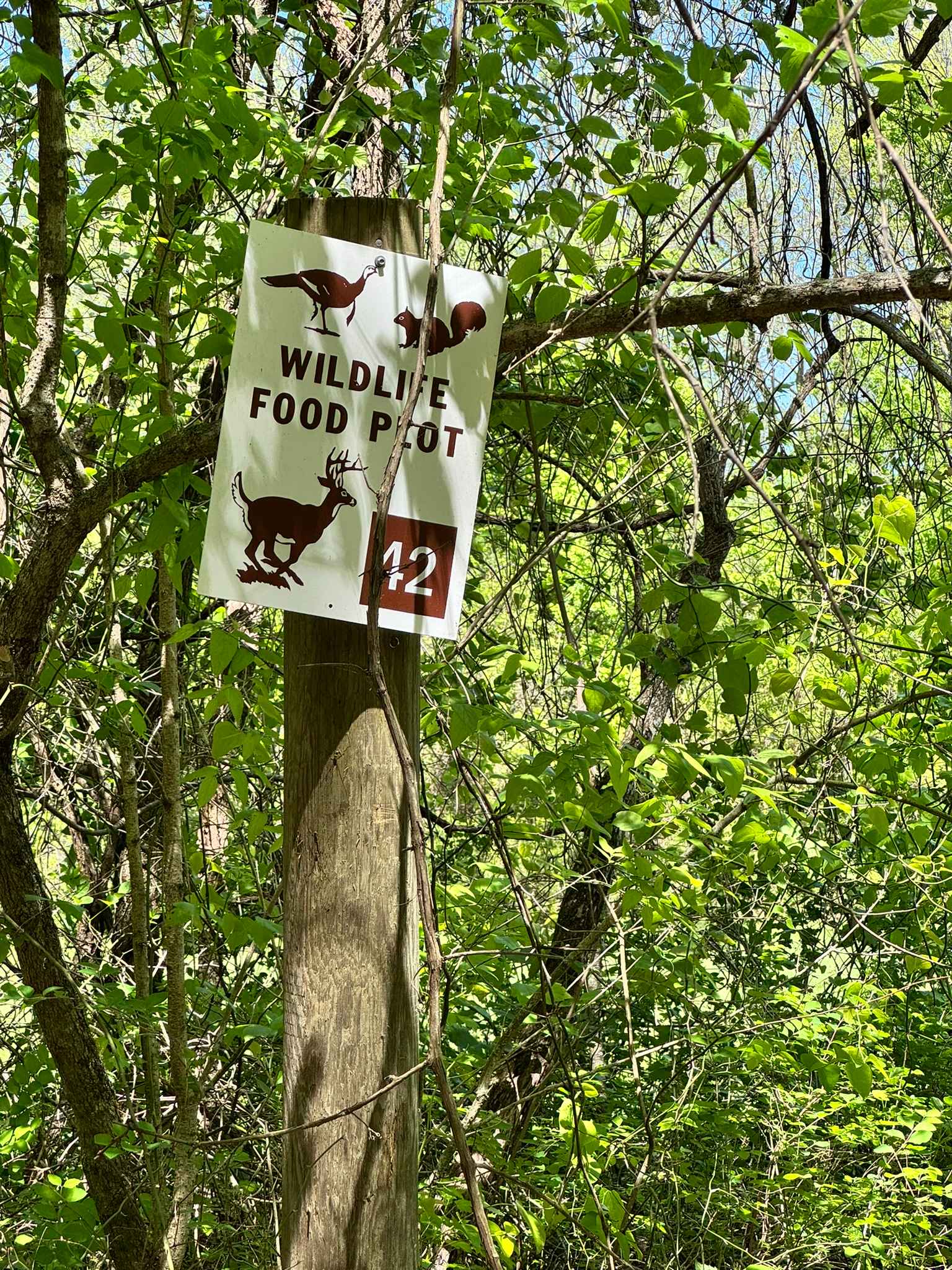
Mincy Food Plot Row
Total Miles
1.5
Technical Rating
Best Time
Spring, Summer, Fall, Winter
Trail Type
Full-Width Road
Accessible By
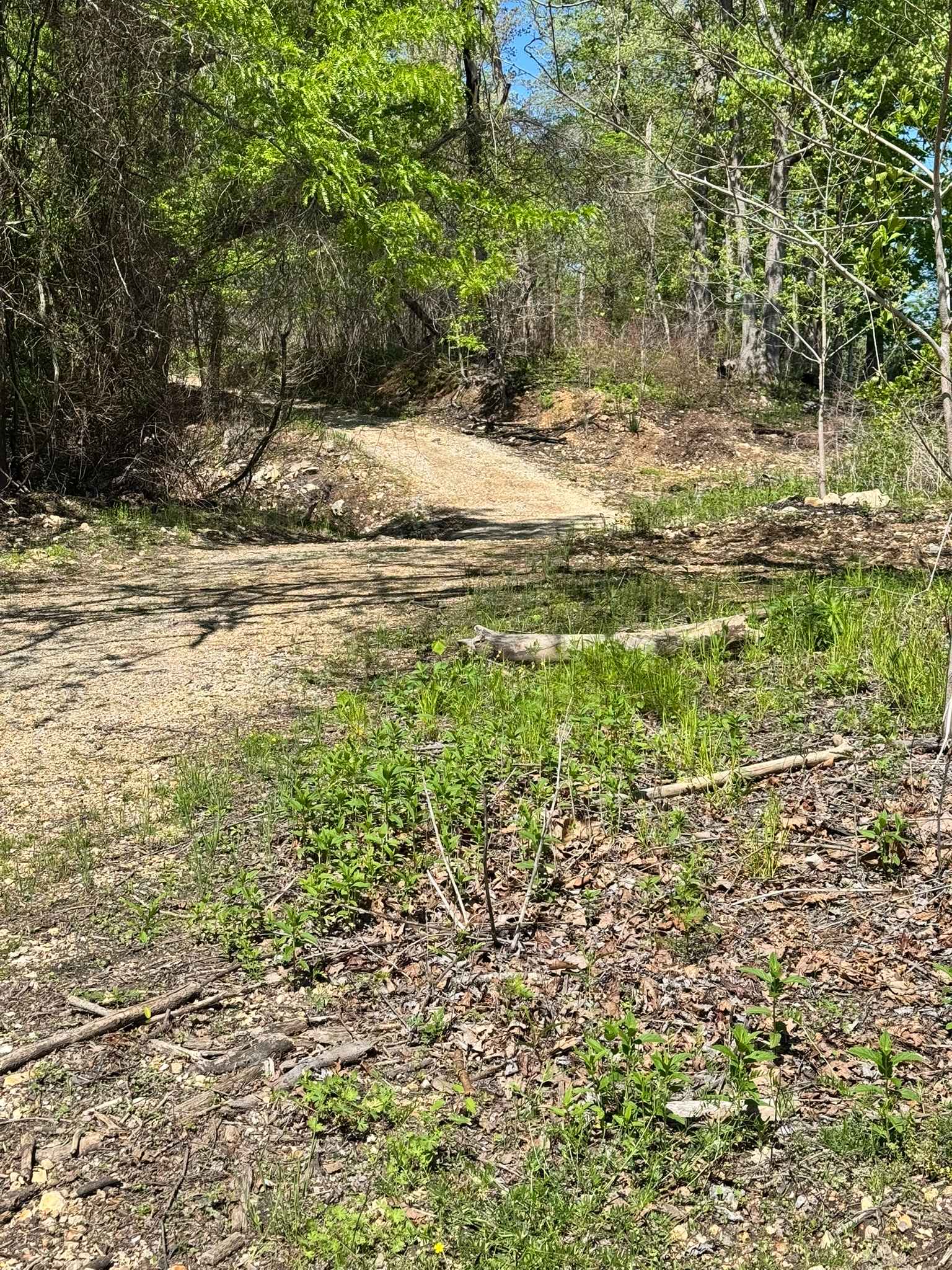
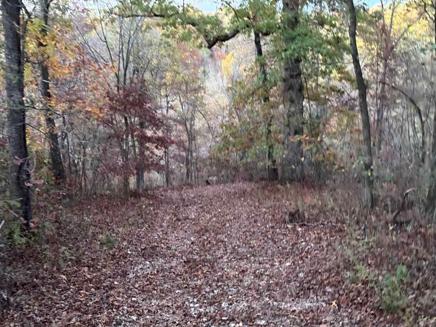
Trail Overview
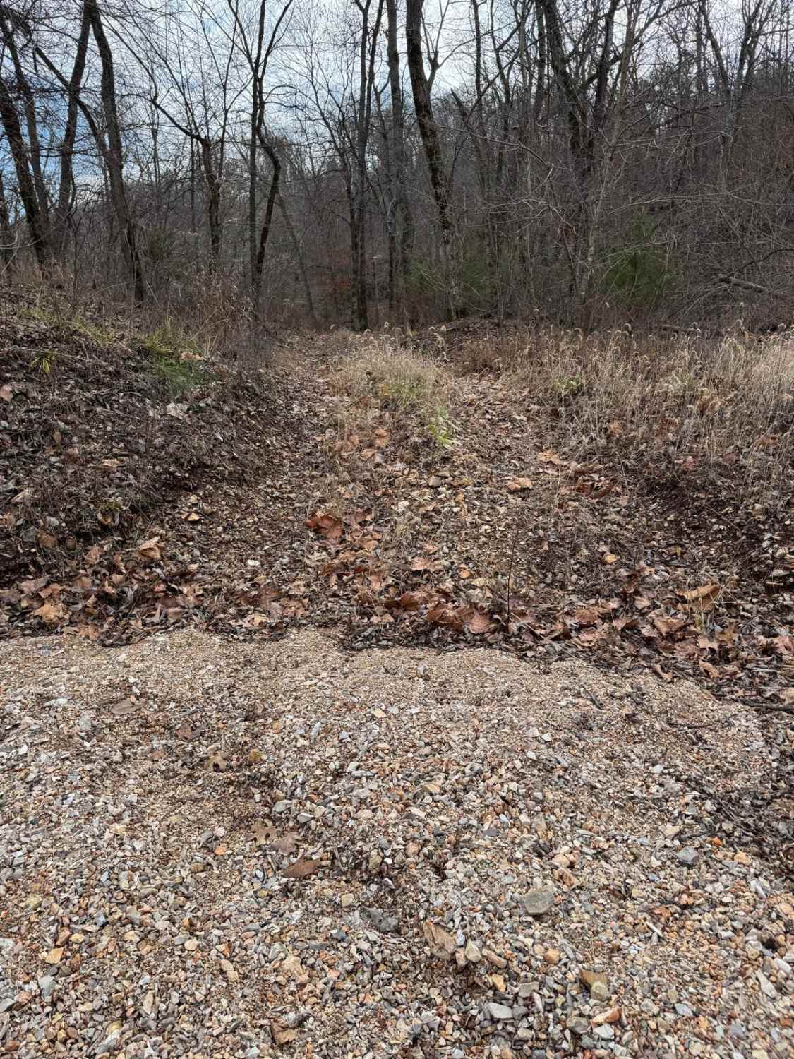
This trail leads to the food plots and walking trails on the west side of Bee Creek in the Drury-Mincy Conservation Area. About three-quarters of the trail is an easy off-road drive, though there may be water crossings after recent rain. If you enter from the north, be aware that during high water, part of the trail sits below the creek water line and may be underwater or extremely muddy. Once you reach the meadow and continue down the final 0.6 mile, the trail becomes more technical. That section has a lot of rocks and washouts. Use caution, and keep in mind that although the road has been bulldozed recently for improvement, it is not like the first 1.2 miles
Photos of Mincy Food Plot Row
Difficulty
Due to the multiple water crossings and the steep down grade at the southern part this trail is almost a 4.
History
This is the area where the old Bee Creek Schoolhouse and Cemetery is located.
Status Reports
Mincy Food Plot Row can be accessed by the following ride types:
- High-Clearance 4x4
- SUV
- SxS (60")
- ATV (50")
- Dirt Bike
Mincy Food Plot Row Map
Popular Trails

Pigeon Roost Road - WCR 603

Yellow 164
The onX Offroad Difference
onX Offroad combines trail photos, descriptions, difficulty ratings, width restrictions, seasonality, and more in a user-friendly interface. Available on all devices, with offline access and full compatibility with CarPlay and Android Auto. Discover what you’re missing today!