Radio Tower Ridge
Total Miles
3.9
Technical Rating
Best Time
Spring, Summer, Fall, Winter
Trail Type
Full-Width Road
Accessible By
Trail Overview
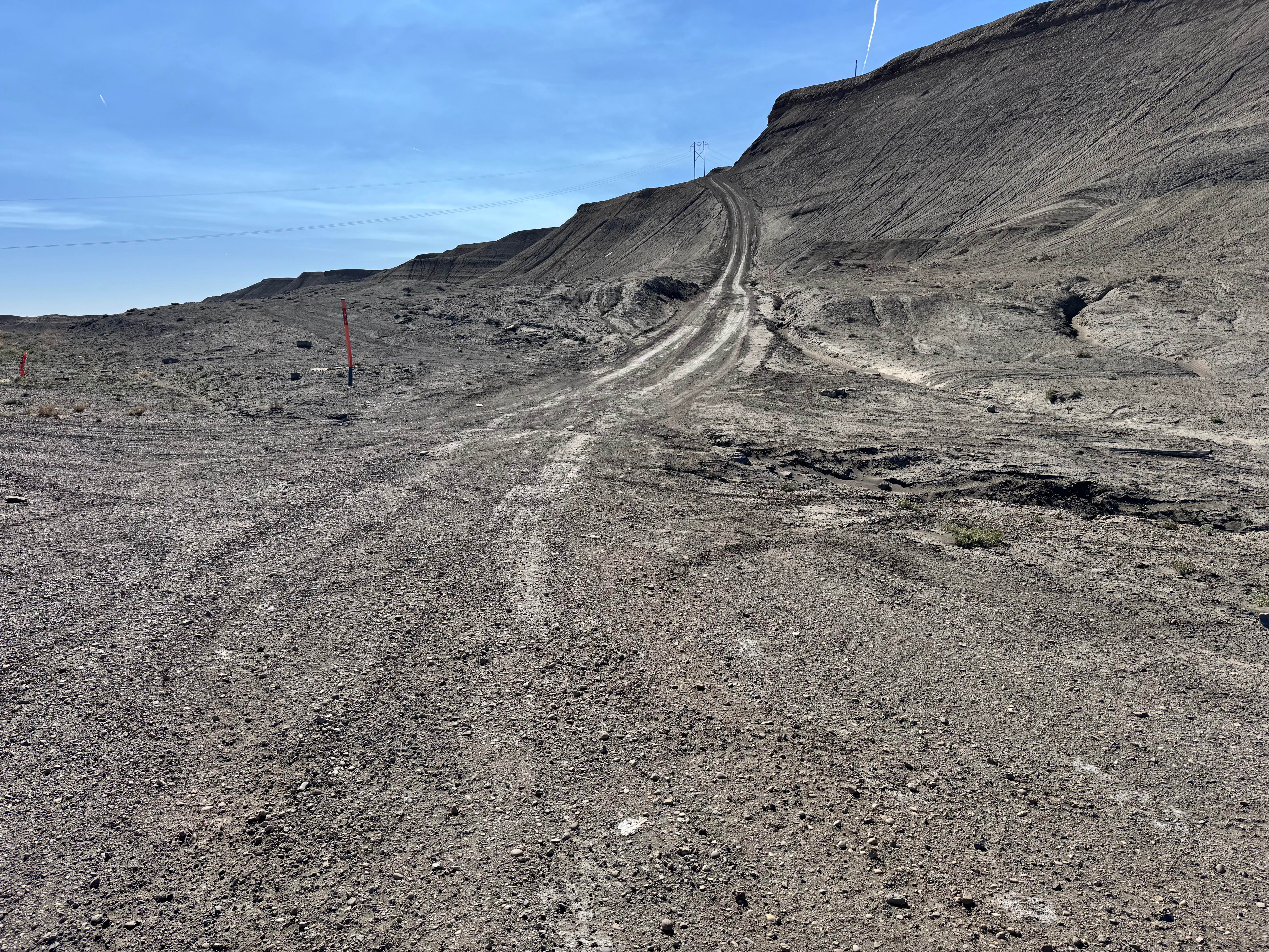
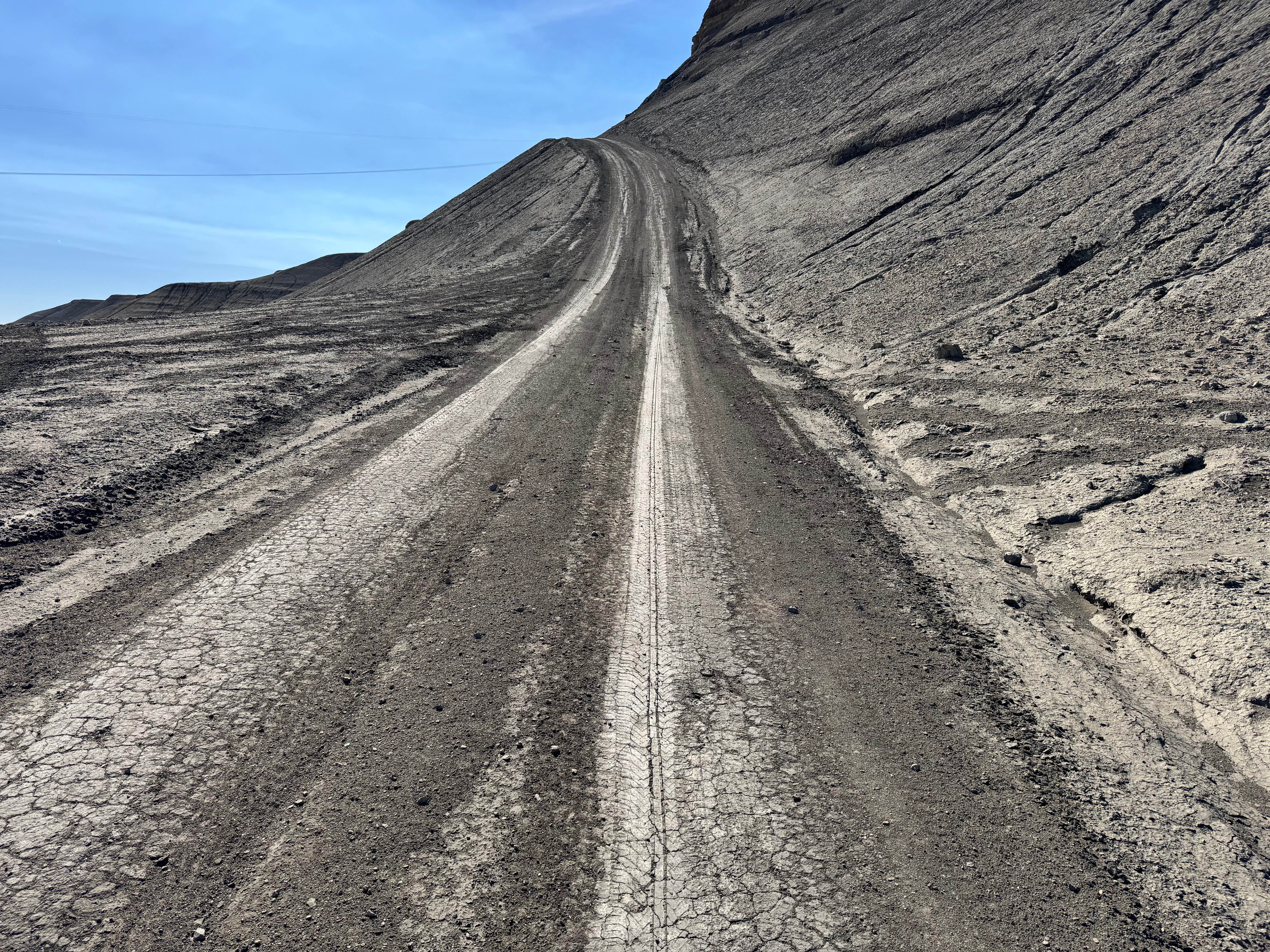
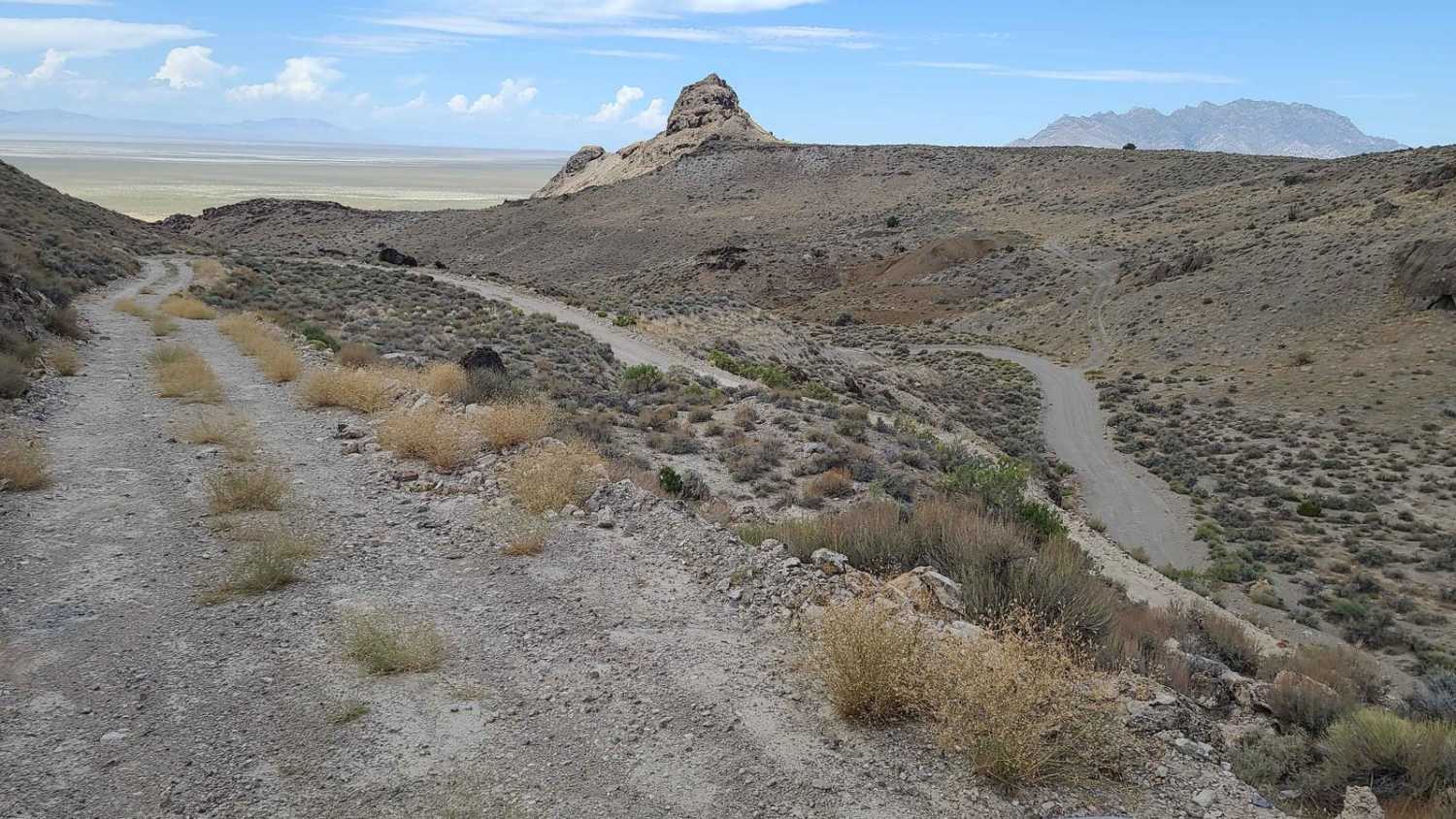
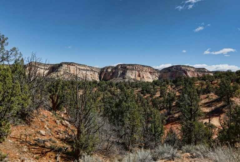
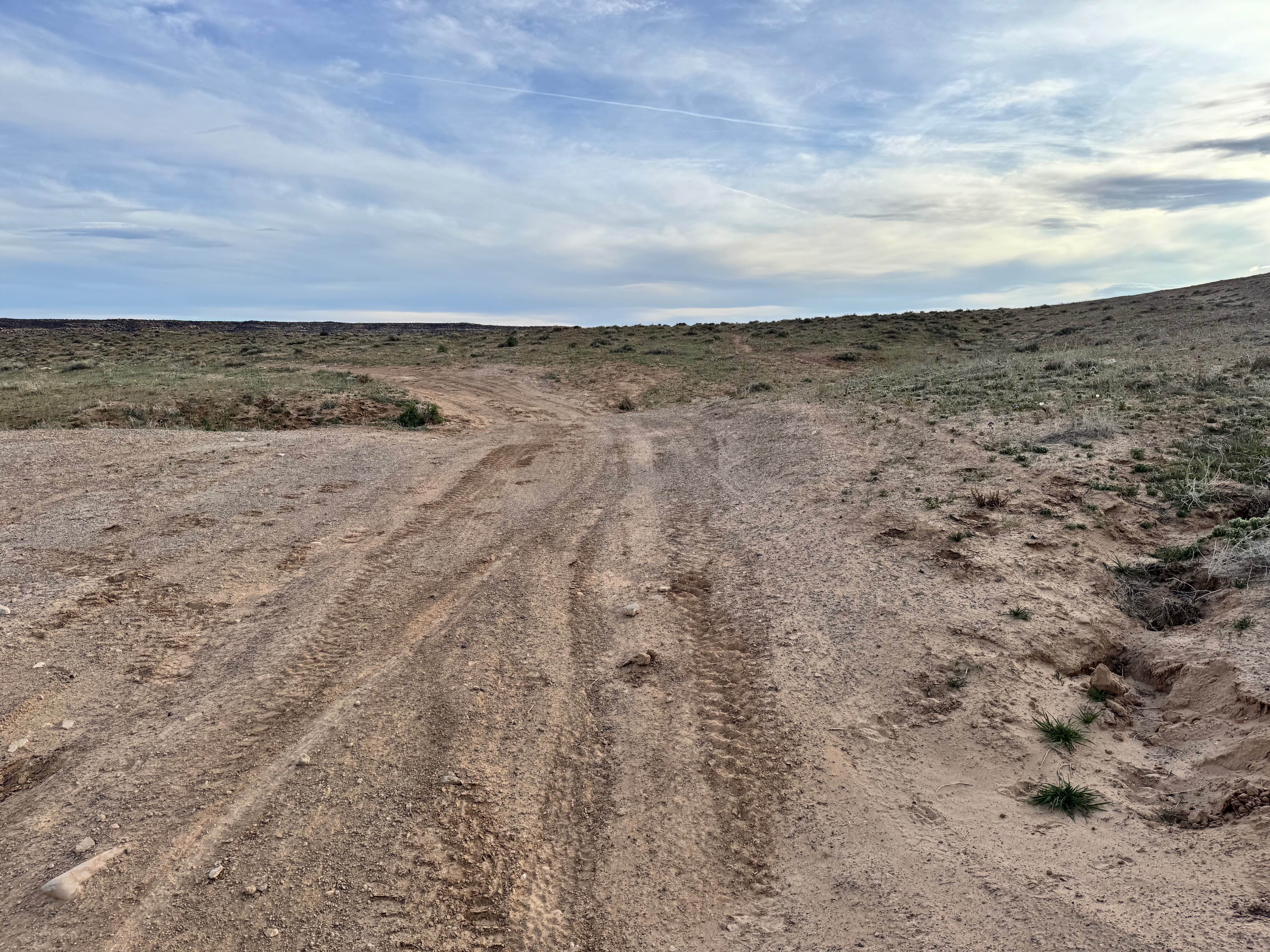
This route is a fairly mild desert drive that offers big scenery without demanding obstacles. Most of the trail consists of easy dirt roads and rolling terrain suitable for high-clearance 4x4s, with only a few mildly washed-out sections that require basic tire placement and attention. These spots are not severe, but they can become rougher after storms or heavy traffic. The most notable challenge is at one end of the route, where a very steep grade climbs to the top of the route. In dry conditions, it is manageable with proper momentum, traction, and a good 4Lo range, but when wet, the loose surface could quickly become slick and far more difficult. Once on top, the trail opens into a relaxed cruise across wide open ground with panoramic views in every direction. Expect sweeping vistas of the red rock country outside the San Rafael Swell, long sightlines toward Moab, and a broad look over the Green River area. It's an excellent route for travelers wanting scenery and a light adventure rather than a technical rock-crawling experience.
Photos of Radio Tower Ridge
Difficulty
This is a mostly mild scenic route with easy dirt roads, minor washouts, and no major obstacles. The main challenge is the steep grade at one end, which is manageable when dry but can become slick and more difficult when wet.
History
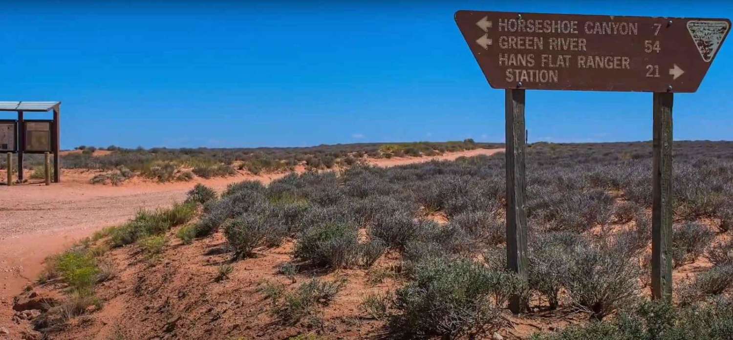
The roads in this area are a mix of utility access routes and long-used desert travel corridors serving communication towers, water infrastructure, and local recreation. Today, the hills south of Green River are popular with off-road riders and travelers looking for wide-open desert views.
Status Reports
Radio Tower Ridge can be accessed by the following ride types:
- High-Clearance 4x4
- SUV
- SxS (60")
- ATV (50")
- Dirt Bike
Radio Tower Ridge Map
Popular Trails
Upper Barracks Trail-BLM20
Upper Levi Well
Roost Road - BLM0123
The onX Offroad Difference
onX Offroad combines trail photos, descriptions, difficulty ratings, width restrictions, seasonality, and more in a user-friendly interface. Available on all devices, with offline access and full compatibility with CarPlay and Android Auto. Discover what you’re missing today!