Six Mile Road
Total Miles
10.1
Technical Rating
Best Time
Spring, Summer, Winter, Fall
Trail Type
Full-Width Road
Accessible By
Trail Overview
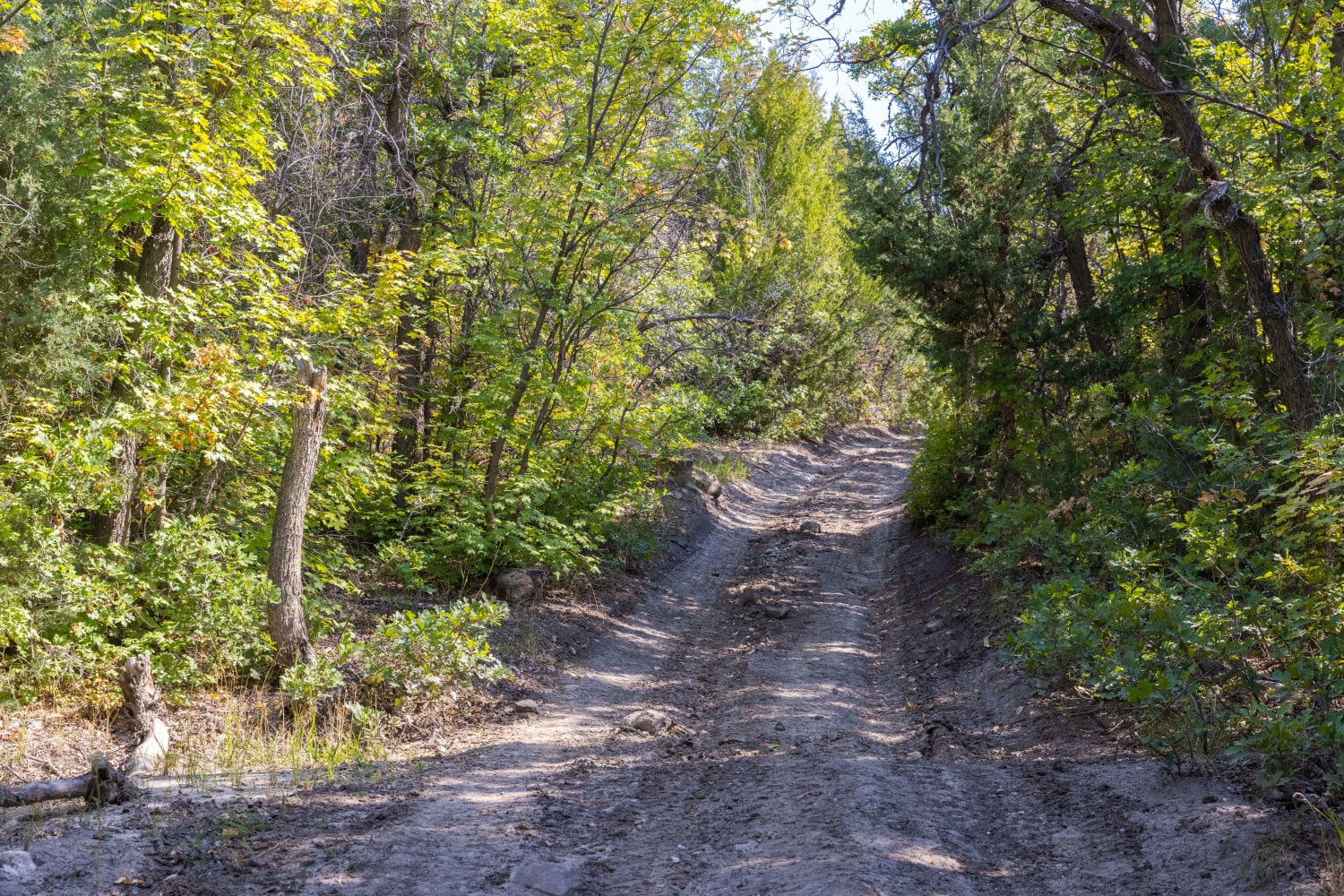
This trail leads from Weiss Highway to the Death Canyon area. Despite the name, the road is actually 10 miles long, but it does have a six-mile straight stretch that runs flat at the southern end. The whole road was graded, but the northern end is narrower and has more ups and downs compared to the flat and wide southern end.
Photos of Six Mile Road


Difficulty
This trail follows a graded gravel road with a generally smooth surface and a few minor washout areas. The northern end becomes narrower and features more exposed rocks protruding through the gravel, adding slight unevenness but remaining manageable.
Status Reports
Six Mile Road can be accessed by the following ride types:
- High-Clearance 4x4
- SUV
- SxS (60")
- ATV (50")
- Dirt Bike
Six Mile Road Map
Popular Trails

Northwest Sovereign

FS 40439 Loop
Birch Creek Trail

Twister Shortcut
The onX Offroad Difference
onX Offroad combines trail photos, descriptions, difficulty ratings, width restrictions, seasonality, and more in a user-friendly interface. Available on all devices, with offline access and full compatibility with CarPlay and Android Auto. Discover what you’re missing today!