BLM RM26
Total Miles
2.2
Technical Rating
Best Time
Summer, Fall, Spring
Trail Type
Full-Width Road
Accessible By
Trail Overview
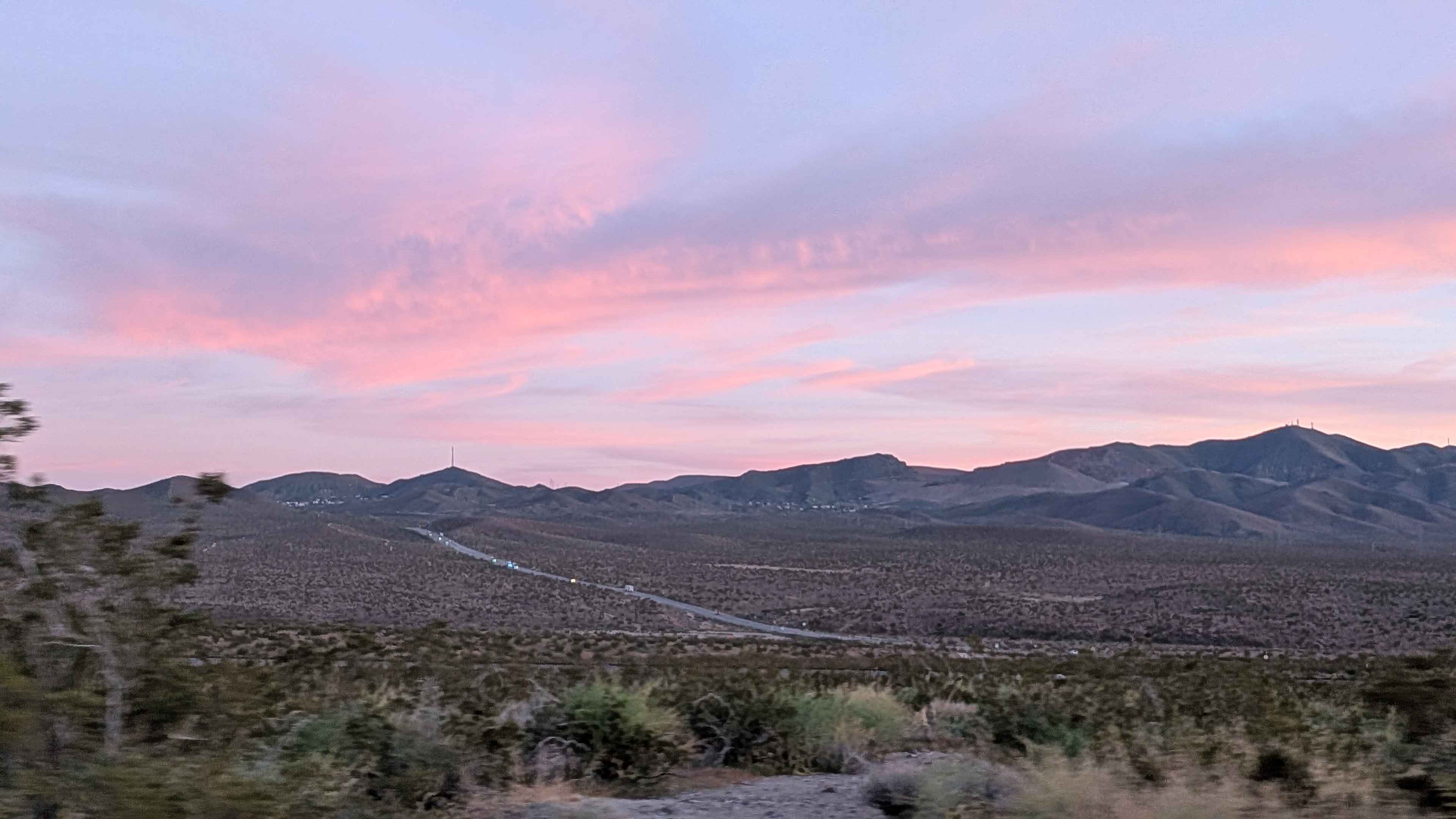
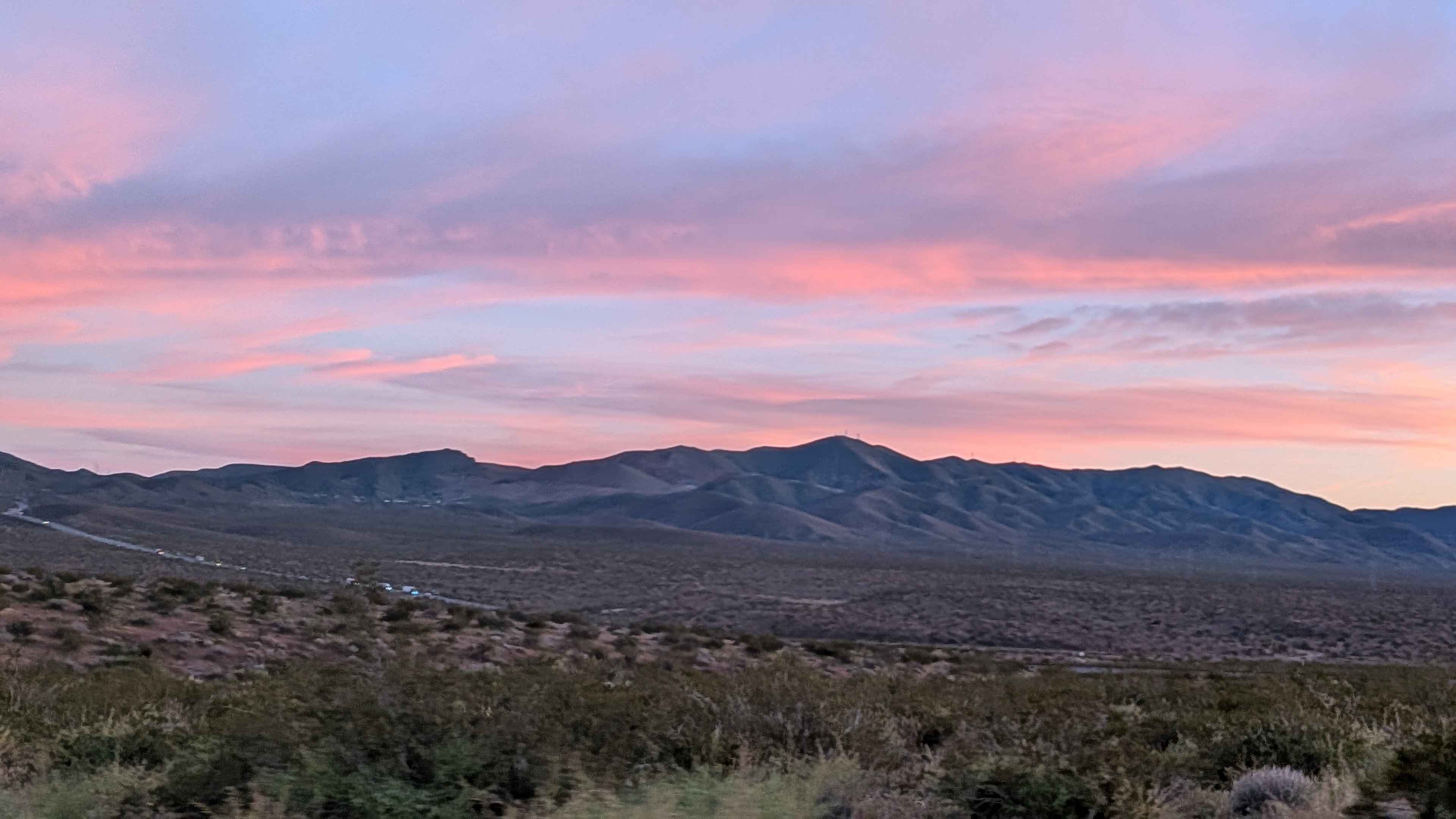
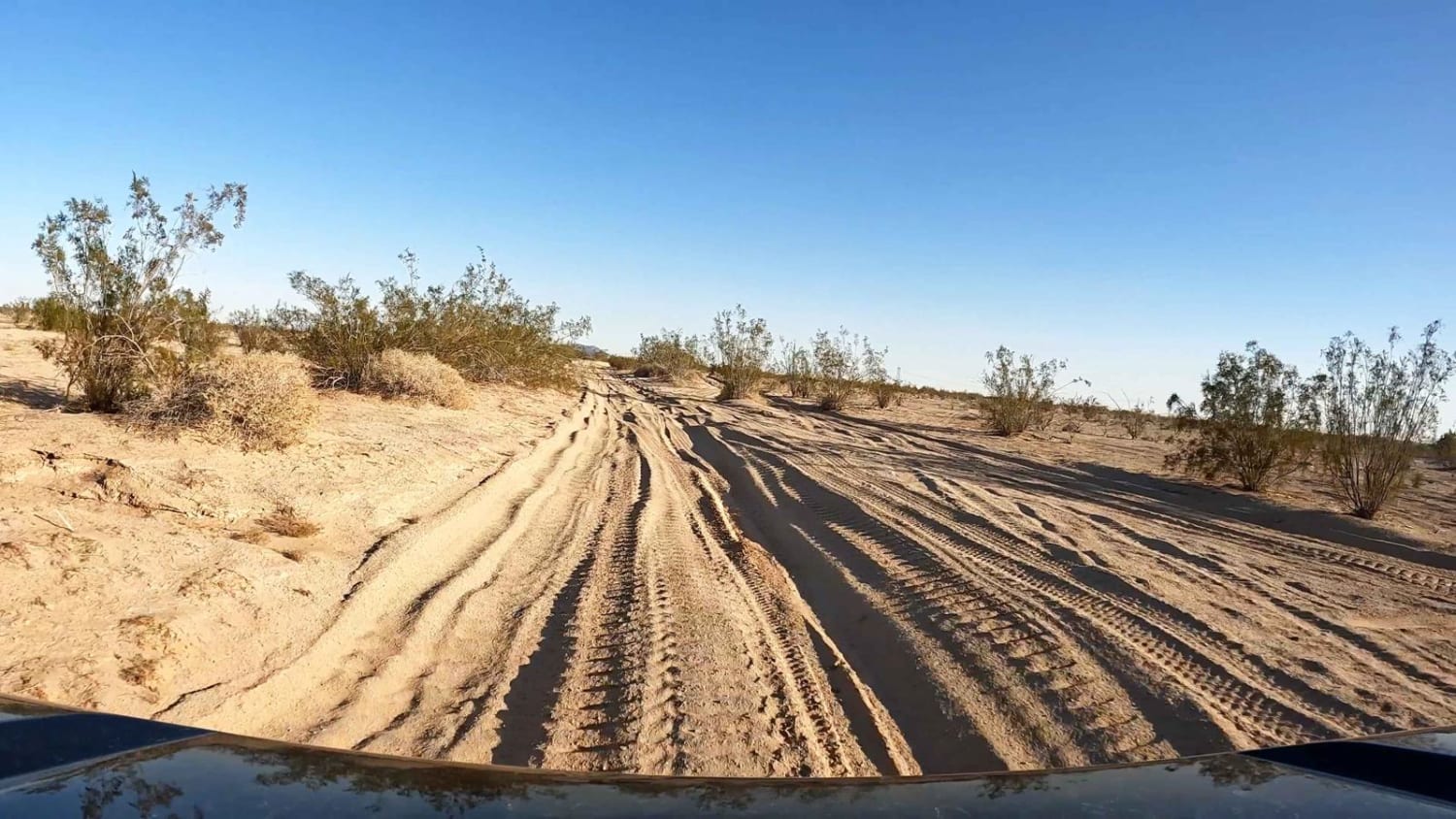
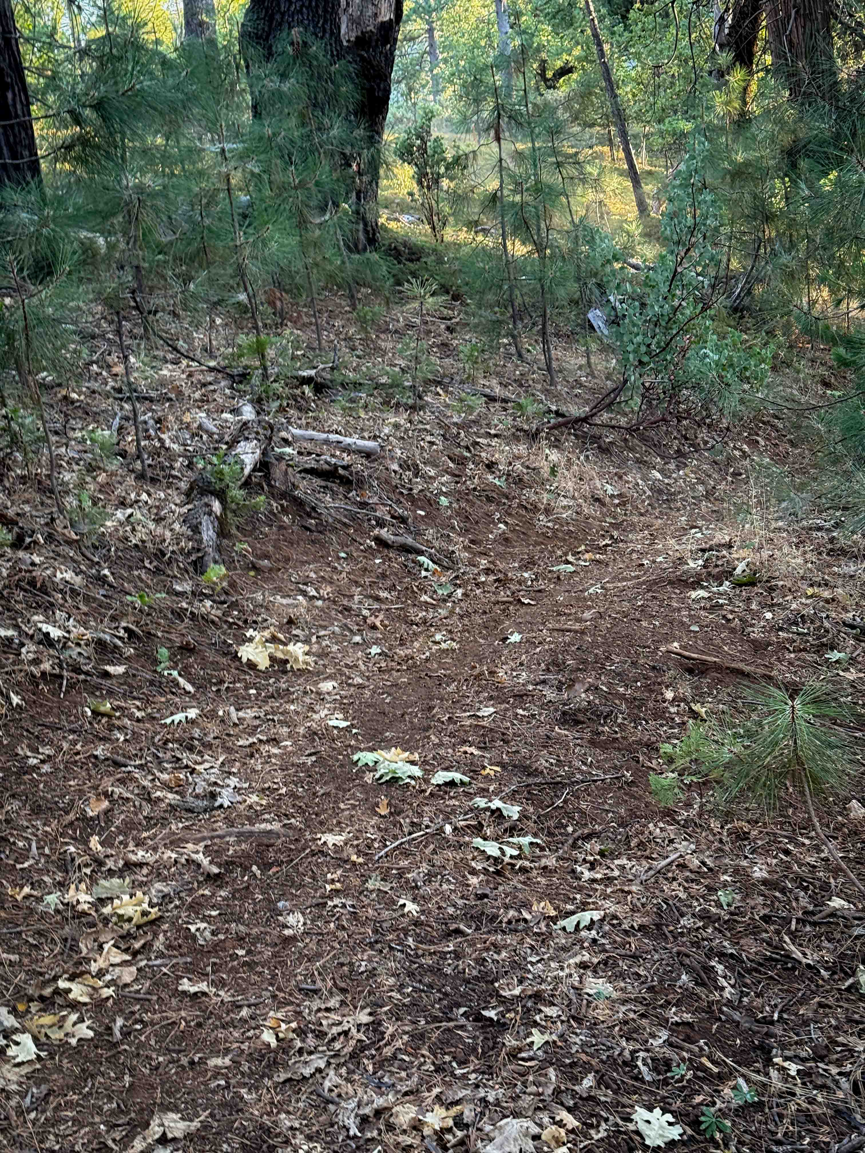
This sand and gravel route departs Highway 395 running parallel to railroad tracks through terrain lined with diverse desert brush including creosote bushes, smoke trees, and other flora. Nice views showcase surrounding mountains including Galileo Hill, Saddleback Mountain, and Red Mountain creating multiple landmarks. The last half mile crosses private property where keeping your speed down to avoid dust becomes mandatory out of respect for landowners. Washboards and uneven surfaces appear throughout creating bumpy sections.
Photos of BLM RM26
Difficulty
Sand and gravel surface provides decent traction without extreme challenges. Those washboards and uneven surfaces create jarring ride but nothing technically demanding. The railroad tracks provide navigation reference running alongside. Main consideration is respecting that private property in the last half mile by reducing speed to minimize dust, both courteous and potentially required. Any vehicle with basic clearance handles this while respecting the speed reduction on private land.
Status Reports
BLM RM26 can be accessed by the following ride types:
- High-Clearance 4x4
- SUV
- SxS (60")
- ATV (50")
- Dirt Bike
BLM RM26 Map
Popular Trails
Sandstone Canyon Trail

Patton Lode Mine
Dunes Vista
The onX Offroad Difference
onX Offroad combines trail photos, descriptions, difficulty ratings, width restrictions, seasonality, and more in a user-friendly interface. Available on all devices, with offline access and full compatibility with CarPlay and Android Auto. Discover what you’re missing today!