Mule Peak South - FS 22S03
Total Miles
2.5
Technical Rating
Best Time
Summer, Fall, Spring
Trail Type
Full-Width Road
Accessible By
Trail Overview
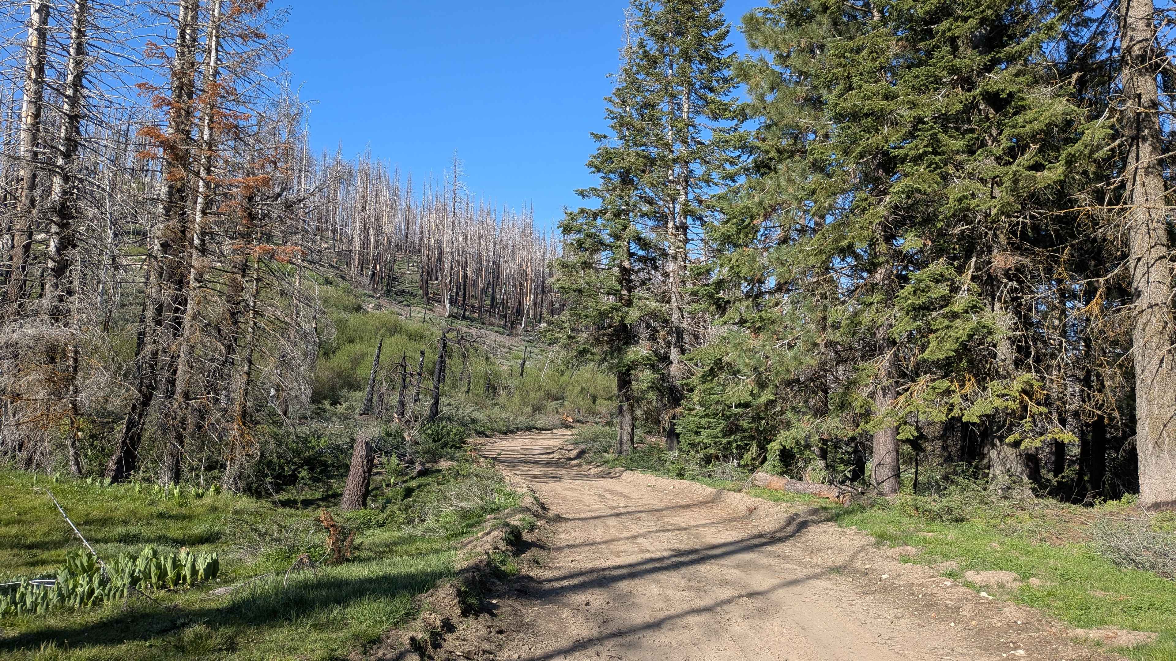
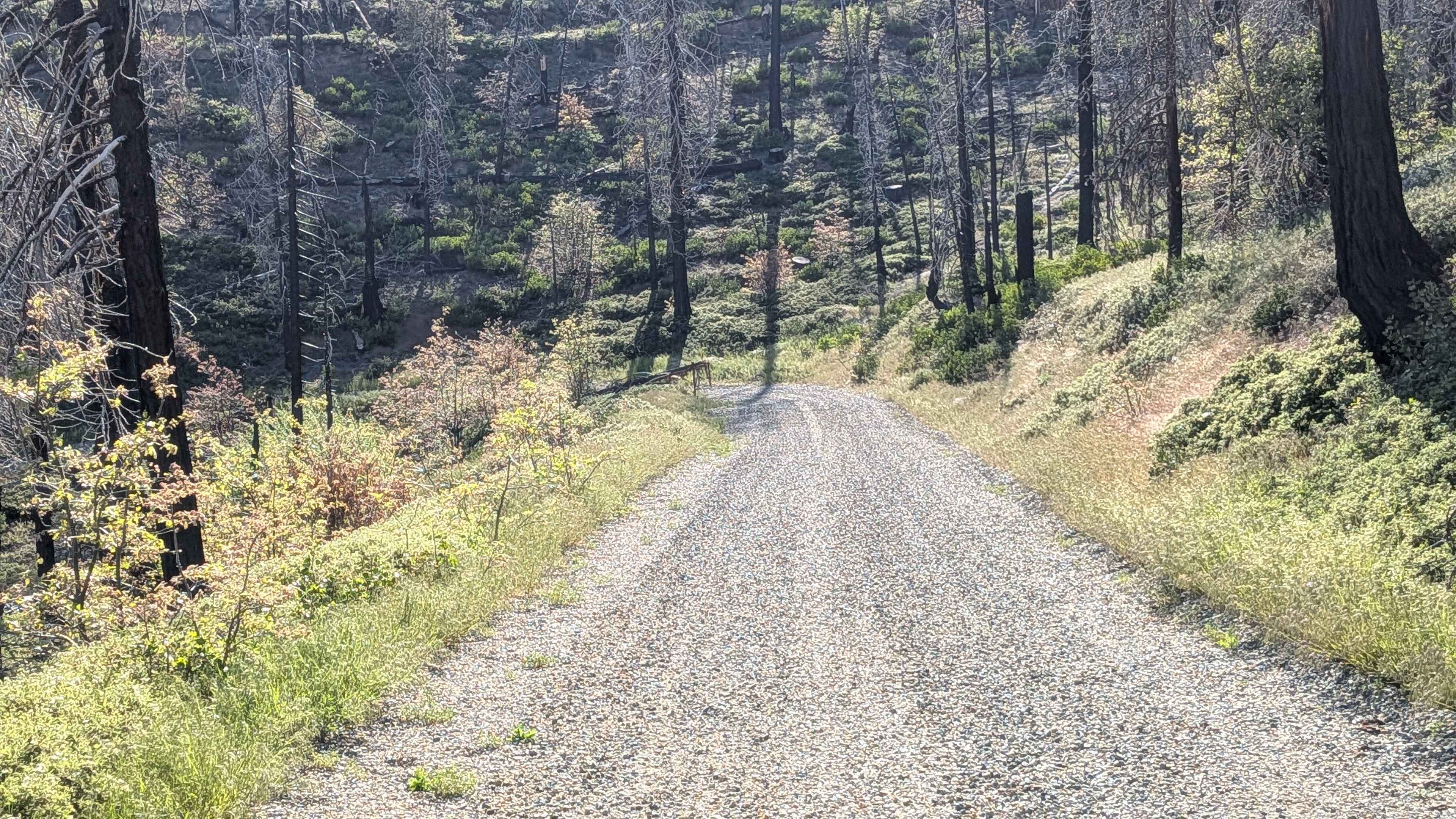
Mule Peak South FS 22S03 begins off Highway M90, where the first 1.25 miles have been graded and covered with gravel by the Forest Service to improve drainage and traction. Beyond that, the surface transitions to hard-packed dirt with muddy spots in sections. The trail winds through tall pine trees and brush, much of which was burned during the 2021 Windy Fire. Shelf road sections and switchbacks appear along the route.
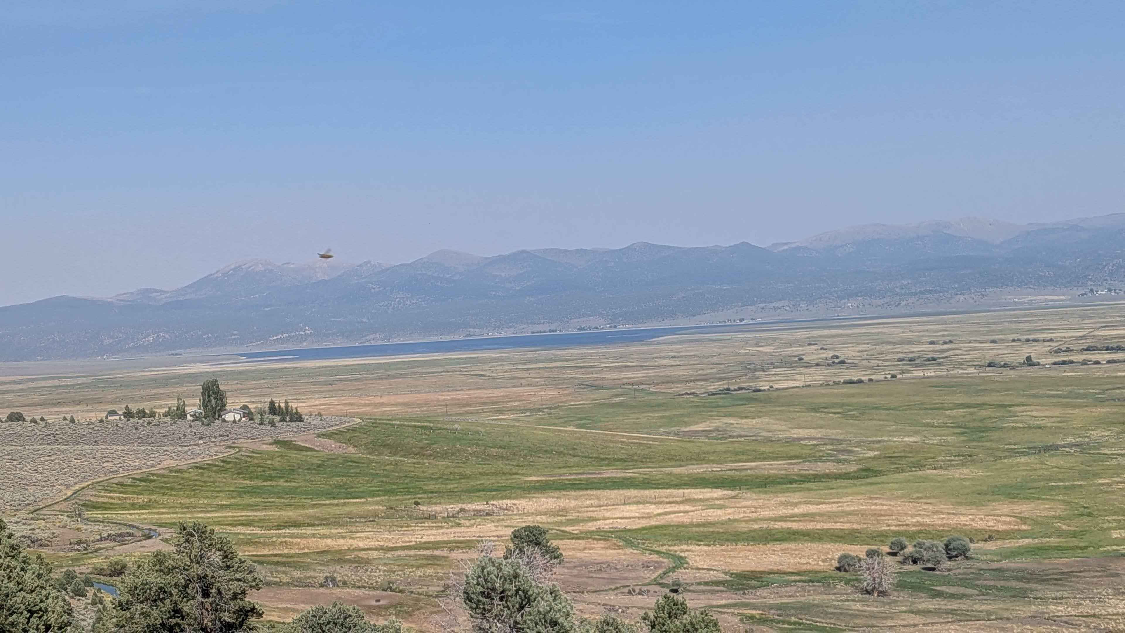
Photos of Mule Peak South - FS 22S03
Difficulty
Ruts, drainage humps, and off-camber sections up to 12 inches deep appear throughout. The graveled lower section eases the entry, but conditions become more variable on the upper dirt sections, particularly when wet, where muddy spots can increase the challenge. Be aware that due to the forest fire, trees are unstable and can fall at any time.
Status Reports
Mule Peak South - FS 22S03 can be accessed by the following ride types:
- High-Clearance 4x4
- SUV
- SxS (60")
- ATV (50")
- Dirt Bike
Mule Peak South - FS 22S03 Map
Popular Trails

Edison Road Section 3 - 1N32
Buckeye Robinson Creek North
The onX Offroad Difference
onX Offroad combines trail photos, descriptions, difficulty ratings, width restrictions, seasonality, and more in a user-friendly interface. Available on all devices, with offline access and full compatibility with CarPlay and Android Auto. Discover what you’re missing today!