Middle Fork Road
Total Miles
3.5
Technical Rating
Best Time
Spring, Summer, Fall
Trail Type
Full-Width Road
Accessible By
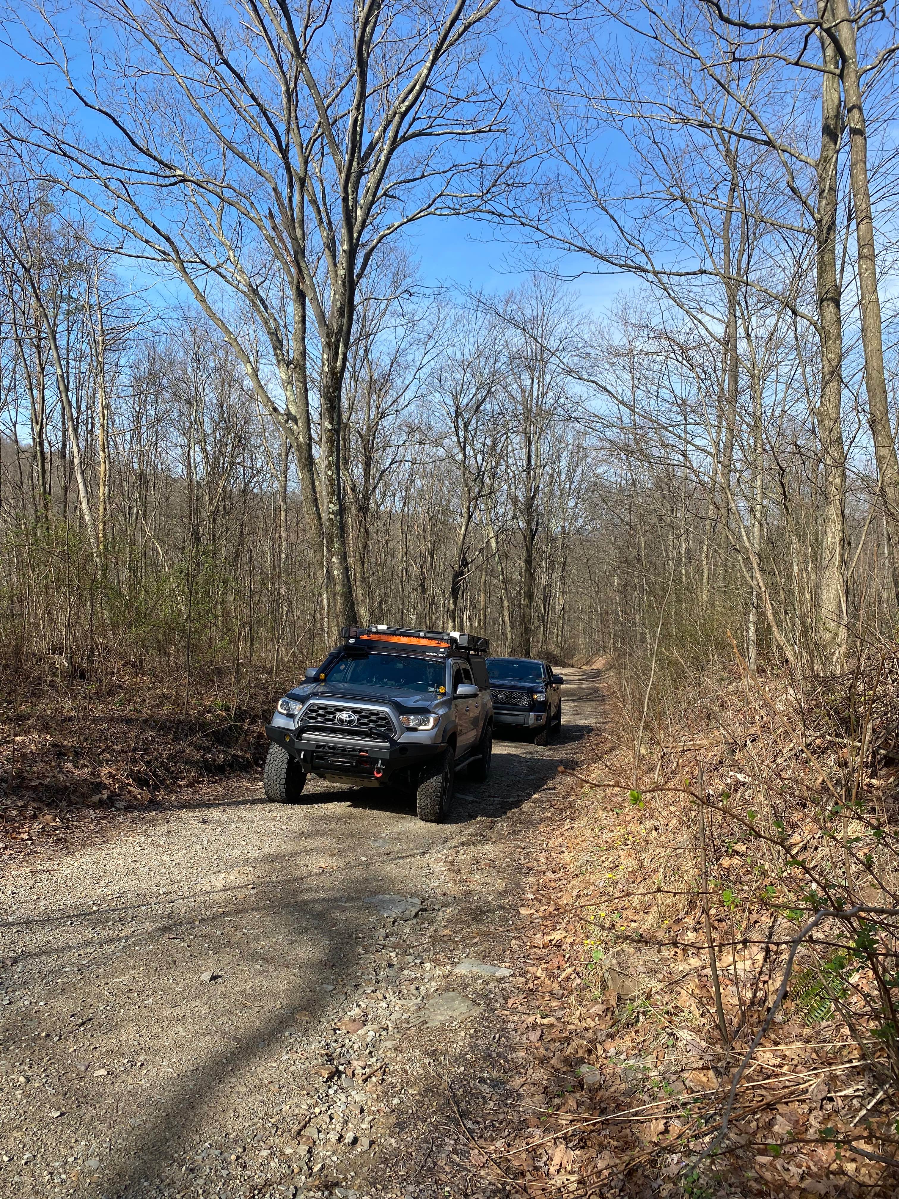
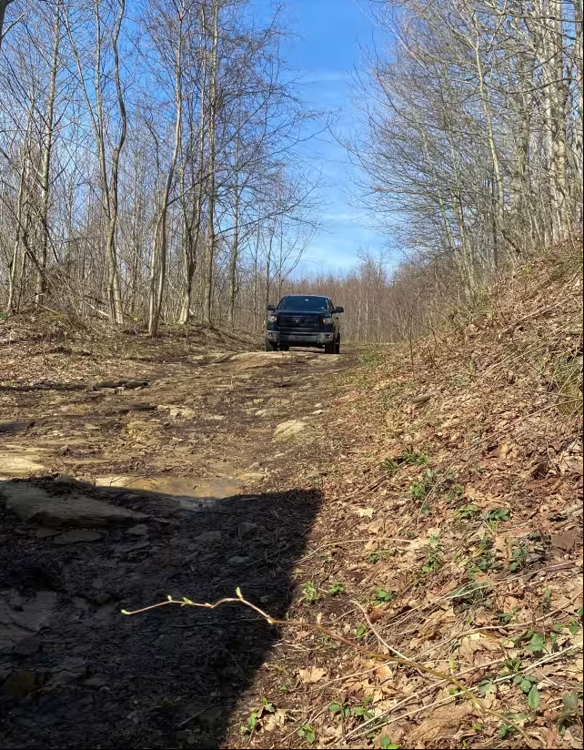
Trail Overview
This is definitely one of the rougher legal roads in the Laurel Highlands. This section definitely prefers a dual transfer case and high clearance, definitely at the time of posting. This is a steep and long hill climb if you start at the bottom. A considerable amount is straight up the fall line. You will pass running water and quite a few washed-out sections that you will need to pay attention to.
Photos of Middle Fork Road
Difficulty
This is mostly a steep fall line route. Difficulty can vary due to current erosion and trail maintenance. Expect loose rock and erosion ditches and ruts. This route can also be made easier on your vehicle with a 2-speed transfer case due to the steepness of the climb and descent if running opposite for engine braking.
History
I tracked this one down in 2006, wandering on adventure bikes. I have ridden through the area for many years via motorcycles and vehicles. These particular trails can very greatly due to the fall line climbs and erosion.
Status Reports
Middle Fork Road can be accessed by the following ride types:
- High-Clearance 4x4
- SUV
Middle Fork Road Map
Popular Trails
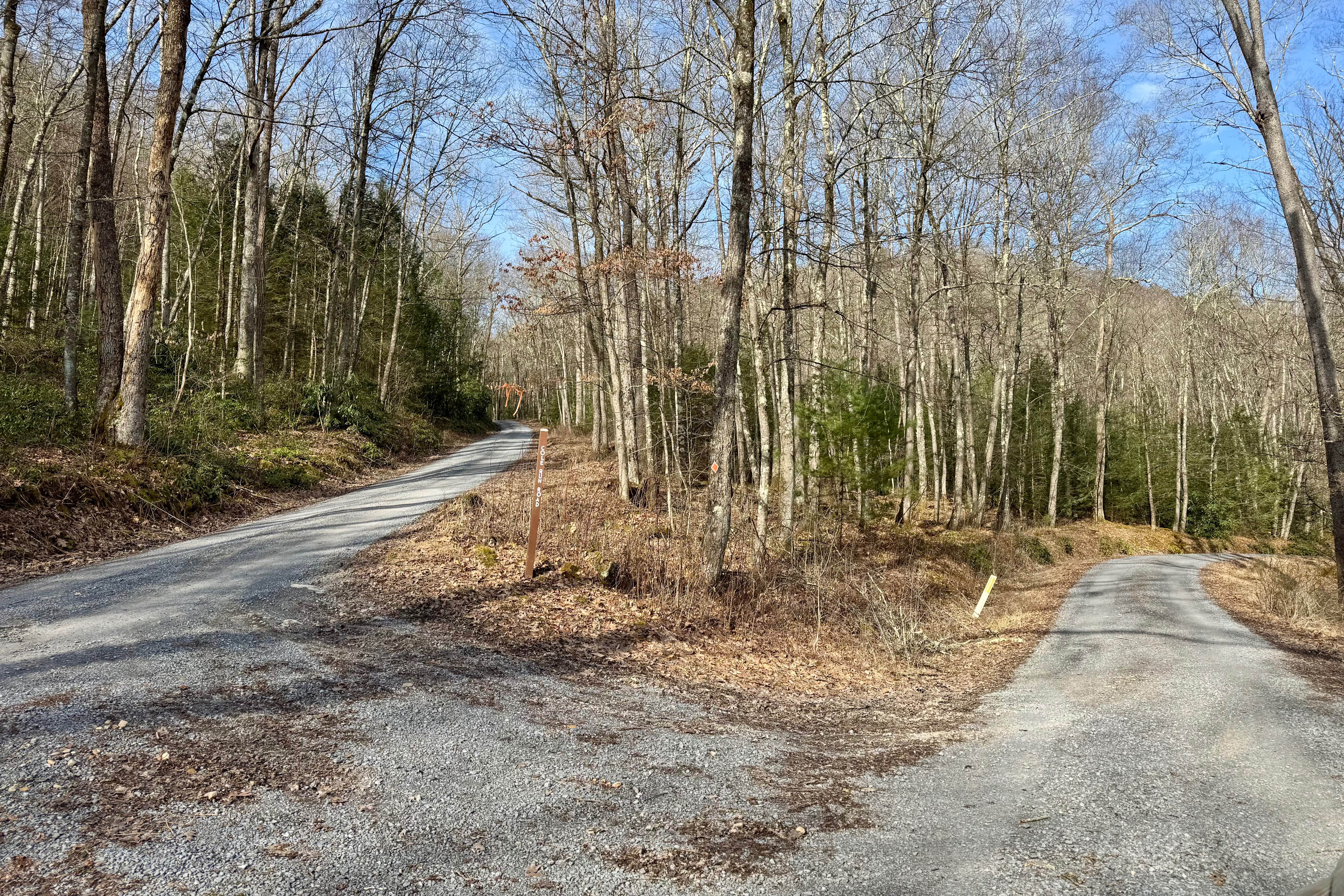
Cole Run Road

40 Green - A

Cooper Mill Road
The onX Offroad Difference
onX Offroad combines trail photos, descriptions, difficulty ratings, width restrictions, seasonality, and more in a user-friendly interface. Available on all devices, with offline access and full compatibility with CarPlay and Android Auto. Discover what you’re missing today!