
Dirt Bike Trails
Near Yosemite Valley, California
Explore All Dirt Bike Trails Near Yosemite Valley, California
Dirt Bike Trails Near Yosemite Valley, California
Discover the best dirt bike trails near you. Browse trail maps, check difficulty ratings, and find your next adventure — whether you're looking for a quick ride or an all-day expedition.
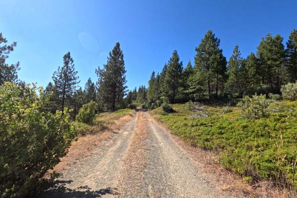
FS 1S25A
FS 1S25A branches off the main FS 1S25 road and opens into a quiet, 1.6-mile single-track through dense, shaded forest. The first short stretch is the narrowest part of the drive, with a bit of grass and brush pressing in close enough to brush the sides of the vehicle, though nothing that demands sp...
Learn more about FS 1S25A
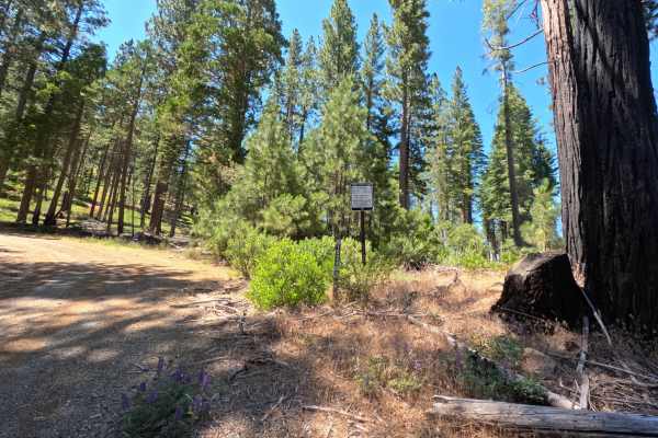
FS 1S24
FS 1S24 is a 3.2-mile, two-way dirt and gravel road, marked by a numbered post at the junction with the main road. The first stretch is easy driving, smooth dirt and gravel through open forest with wide views. Past a fork with a spur road, the road narrows, and grass and brush grow in close on both ...
Learn more about FS 1S24
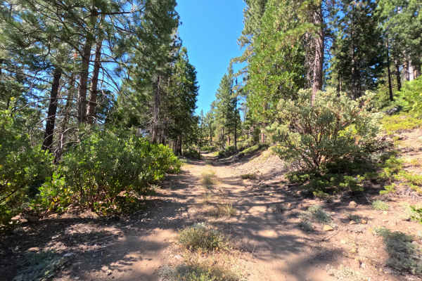
FS 1S89
FS 1S89 branches off the main FS 1S25 road and settles into a calm, single-lane track over firm, packed dirt. The road climbs gradually as it works north, narrowing slightly the further it goes, with scattered small rocks and light debris across the tread here and there. Tall pines line both sides f...
Learn more about FS 1S89
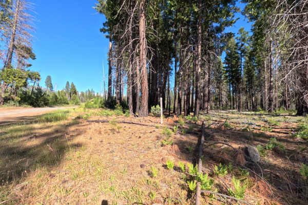
FS 1S25
Set within an open, scenic coniferous forest managed by the Stanislaus National Forest near the western boundary of Yosemite National Park, FS 1S25 climbs steadily up toward an elevation near 5,000 feet. Accessed directly from Evergreen Road, this inviting route serves as a main connector to numerou...
Learn more about FS 1S25
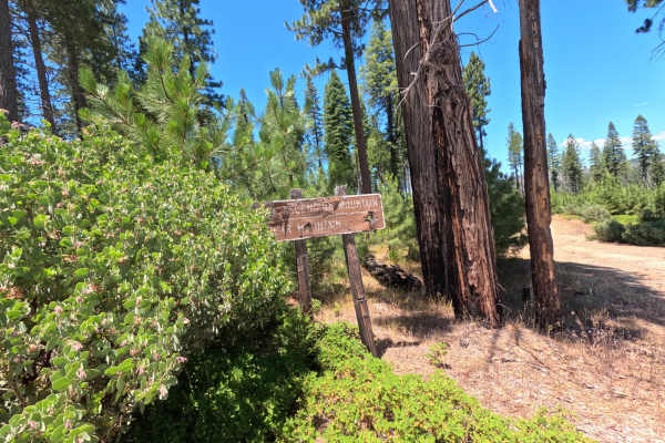
FS 1S05
FS 1S05 is a wide, well-graded dirt and gravel road with great views over the surrounding hills for most of its length. A few stretches narrow a bit, with minor ruts and brush encroaching on both sides. It's mostly used as an access road connecting to other forest service roads, and makes for an eas...
Learn more about FS 1S05
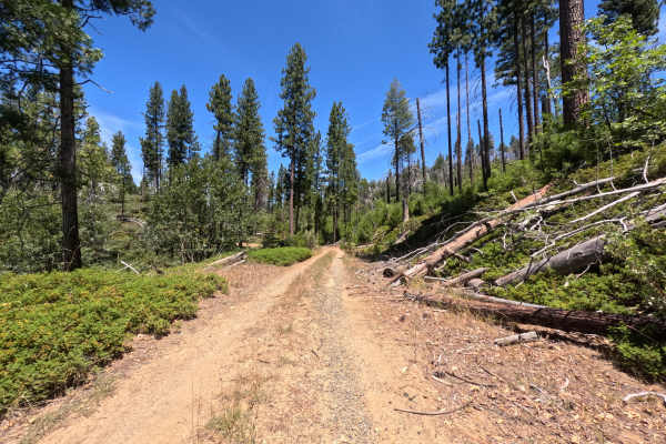
FS 1S16Y
FS 1S16Y starts right off Highway 120 and runs as a single-lane out-and-back spur through dense, quiet forest, terminating at a multi-group campsite rather than connecting through to another route. There's no wide shoulder or passing room to speak of, just a narrow corridor pressed close by trees on...
Learn more about FS 1S16Y
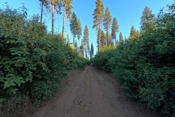
1S19
1S19 is accessed directly from the forest road system on the edge of Stanislaus National Forest, climbing steadily along a single-track packed dirt trail through its first mile. This opening stretch holds the toughest ground on the route, with moderate to severe ruts cutting across the path and loos...
Learn more about 1S19
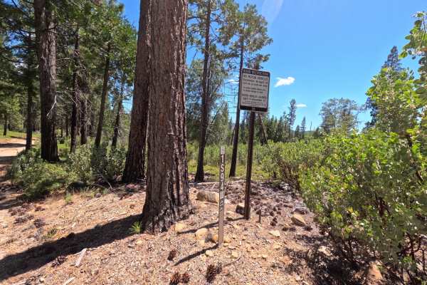
FS 1S94
FS 1S94 is a short connector road linking FS 1S03 to FS 1S04, running as a single-track dirt trail through open forest. It's an easy, pleasant drive with a few minor ruts here and there. A posted Forest Service sign along the route closes it to motor vehicles from December 16 through April 14 each y...
Learn more about FS 1S94
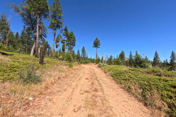
FS 1S41
FS 1S41 is a two-way, moderately rough dirt trail running about a mile and a half from Forest Service Road 1S03, mostly winding through heavily wooded forest on a single-lane road that's comfortably wide for passing. A gate sits at the start bearing an illegible seasonal closure sign, though similar...
Learn more about FS 1S41
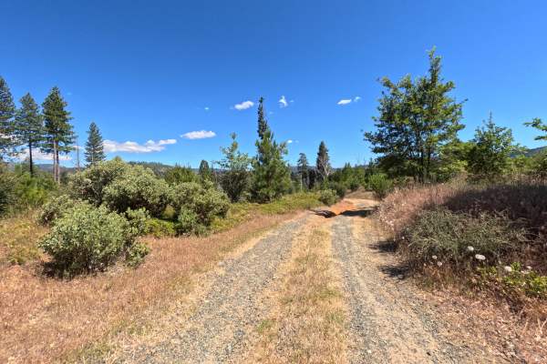
FS 1S24A
FS 1S24A branches off the main FS 1S24 road, a 1.1-mile, single-track spur of dirt and gravel through open, fire-affected forest with wide views on all sides. The road drops steadily toward the river, with minor to moderate ruts, some up to 18 inches deep, along the way. It ends at a private, isolat...
Learn more about FS 1S24A
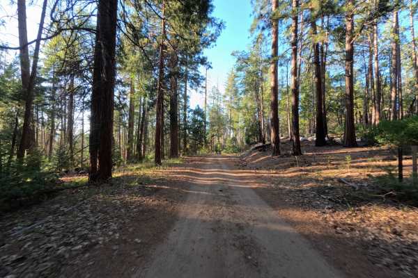
1S32
1S32 is accessed directly from the popular dispersed camping pull-out near the trailhead, where a handful of campers are often found right at the start. From there, the road narrows into a tight, brush-lined corridor, with low growth pressing in from both sides and leaving faint pinstriping on wider...
Learn more about 1S32
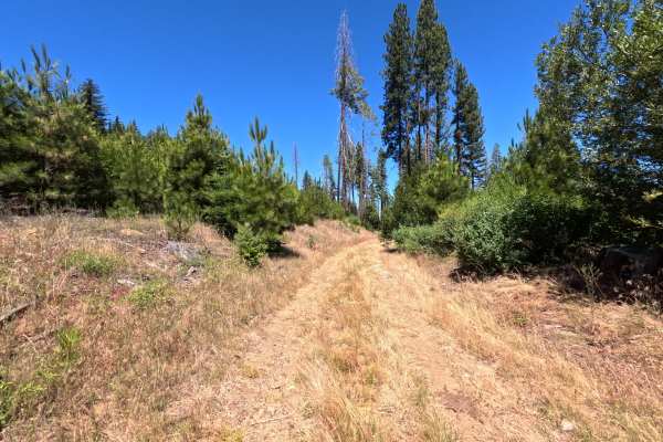
FS 1S36
FS 1S36 starts as a smooth, wide gravel road through pine forest, easy driving the whole way. Near the fork with FS 1S60, the trail gets grassy and overgrown, with a puddle in the tracks. It ends at a pile of downed logs blocking the road completely, so this is a there-and-back trip, not a through r...
Learn more about FS 1S36
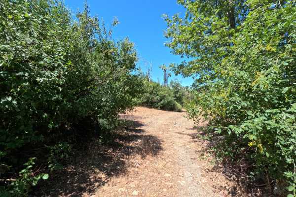
FS 1S60
FS 1S60 continues from FS 1S36 as a single-track dirt trail. It climbs steadily for about a mile through brush that presses in close on both sides, then opens onto a dispersed campsite with wide views over the burned hillside. From there the trail turns downhill toward the Tuolumne River, growing na...
Learn more about FS 1S60
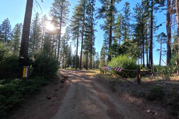
FS 1S96
FS 1S96 is a quiet, 1.5-mile single-lane road tucked between Hetch Hetchy and Yosemite, running through peaceful, open forest that feels made for camping. Numerous established campsites line both sides of the road within the first quarter mile of the start, offering plenty of room to pull off and se...
Learn more about FS 1S96
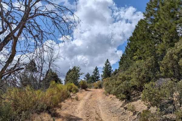
Nutmeg - FS 3S06
Nutmeg is a challenging 3.7-mile trail that features significant elevation changes, climbing over 700 feet and dropping over 700 feet throughout its length. This single-track trail winds through diverse terrain, offering spectacular views of surrounding hillsides, valleys, and distant mountains. The...
Learn more about Nutmeg - FS 3S06
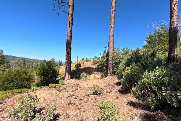
FS 1S41A
FS 1S41A is a two-way dirt spur branching off of FS 1S41, running about half a mile through relatively flat terrain before opening into a grassy hillside with wide views. A deep, 18-inch rut splits the track in two near the start, though it's easily crossed, and minor ruts continue through the first...
Learn more about FS 1S41A
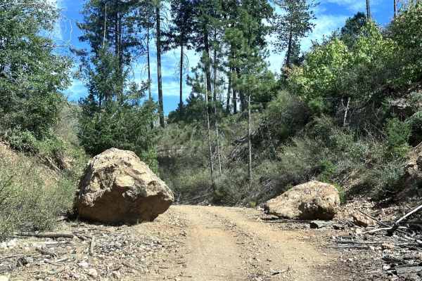
Packard Canyon Road
This 15.1-mile point-to-point trail takes you up Packard Canyon to the Old Yosemite Coulterville Road. The trail starts with low brush and sparse trees that climb to more dense forest. There are a few areas that are narrow as you negotiate washed-out sections of the trail. There are many possible tu...
Learn more about Packard Canyon Road
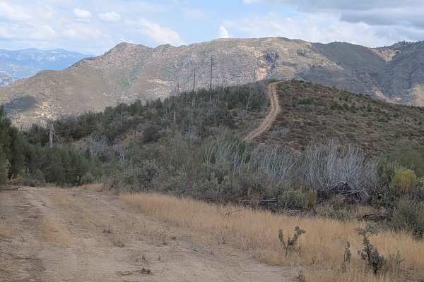
Gimasol Ridge - FS 3S007
This 4-mile out-and-back trail starts at Ferguson Ridge and features dramatic elevation changes, dropping almost 2,000 feet and climbing over 350 feet across 2.5 miles of challenging terrain. The single vehicle-wide trail skirts along the ridge, providing beautiful views of the surrounding mountains...
Learn more about Gimasol Ridge - FS 3S007
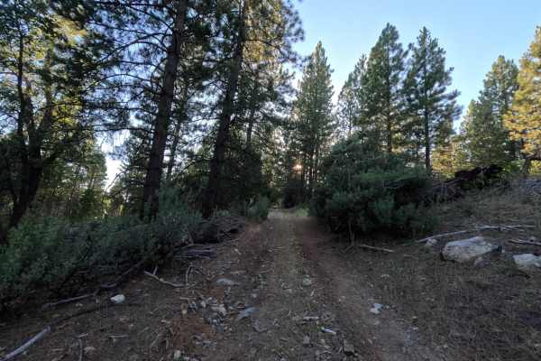
FS 1S20Y
FS 1S20Y branches off the main FS 1S96 road and serves as the access point for a couple of other trails further along its length. The route is a single lane of packed dirt that gently rises and dips through open, quiet forest. Partway in, it drops down into a small meadow before climbing back up the...
Learn more about FS 1S20Y
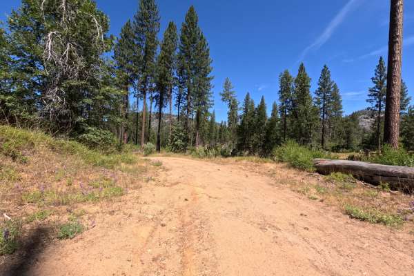
FS 19EV135
FS 19EV135 branches off the 19E road system in the Groveland Ranger District of Stanislaus National Forest, functioning as a short out-and-back spur rather than a through-connector, since it dead-ends at a single dispersed campsite. The surrounding forest is still recovering from the 2013 Rim Fire, ...
Learn more about FS 19EV135
ATV trails near Yosemite Valley, California
Explore ATV-friendly trails near you. These trails are accessible for vehicles up to 50 inches wide, perfect for ATVs and smaller off-road machines.
FS 1S25A
FS 1S25A branches off the main FS 1S25 road and opens into a quiet, 1.6-mile single-track through dense, shaded forest. The first short stretch is the narrowest part of the drive, with a bit of grass and brush pressing in close enough to brush the sides of the vehicle, though nothing that demands sp...
Learn more about FS 1S25A
FS 1S24
FS 1S24 is a 3.2-mile, two-way dirt and gravel road, marked by a numbered post at the junction with the main road. The first stretch is easy driving, smooth dirt and gravel through open forest with wide views. Past a fork with a spur road, the road narrows, and grass and brush grow in close on both ...
Learn more about FS 1S24
FS 1S89
FS 1S89 branches off the main FS 1S25 road and settles into a calm, single-lane track over firm, packed dirt. The road climbs gradually as it works north, narrowing slightly the further it goes, with scattered small rocks and light debris across the tread here and there. Tall pines line both sides f...
Learn more about FS 1S89
FS 1S25
Set within an open, scenic coniferous forest managed by the Stanislaus National Forest near the western boundary of Yosemite National Park, FS 1S25 climbs steadily up toward an elevation near 5,000 feet. Accessed directly from Evergreen Road, this inviting route serves as a main connector to numerou...
Learn more about FS 1S25
UTV/side-by-side trails near Yosemite Valley, California
Find UTV and side-by-side trails near you. These trails accommodate vehicles up to 60 inches wide, ideal for UTVs, side-by-sides, and wider off-road rigs.
FS 1S25A
FS 1S25A branches off the main FS 1S25 road and opens into a quiet, 1.6-mile single-track through dense, shaded forest. The first short stretch is the narrowest part of the drive, with a bit of grass and brush pressing in close enough to brush the sides of the vehicle, though nothing that demands sp...
Learn more about FS 1S25A
FS 1S24
FS 1S24 is a 3.2-mile, two-way dirt and gravel road, marked by a numbered post at the junction with the main road. The first stretch is easy driving, smooth dirt and gravel through open forest with wide views. Past a fork with a spur road, the road narrows, and grass and brush grow in close on both ...
Learn more about FS 1S24
FS 1S89
FS 1S89 branches off the main FS 1S25 road and settles into a calm, single-lane track over firm, packed dirt. The road climbs gradually as it works north, narrowing slightly the further it goes, with scattered small rocks and light debris across the tread here and there. Tall pines line both sides f...
Learn more about FS 1S89
FS 1S25
Set within an open, scenic coniferous forest managed by the Stanislaus National Forest near the western boundary of Yosemite National Park, FS 1S25 climbs steadily up toward an elevation near 5,000 feet. Accessed directly from Evergreen Road, this inviting route serves as a main connector to numerou...
Learn more about FS 1S25
The onX Offroad Difference
onX Offroad combines trail photos, descriptions, difficulty ratings, width restrictions, seasonality, and more in a user-friendly interface. Available on all devices, with offline access and full compatibility with CarPlay and Android Auto. Discover what you're missing today!
Open Trail Map