FS 1S41

Total Miles1.6
Technical Rating
3Easy
Best TimeSpring, Summer
Trail TypeFull-Width Road
Accessible By
Open Trail Map

Trail Overview

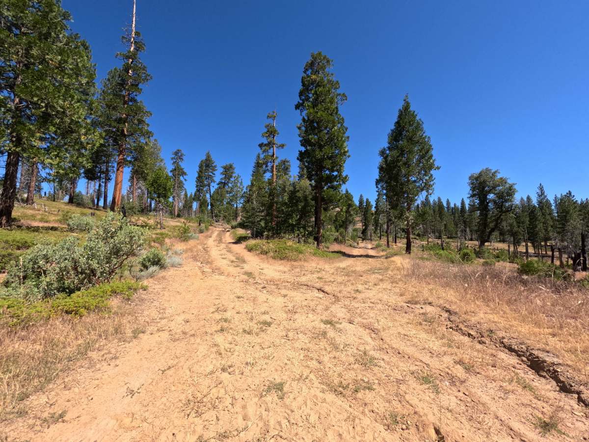
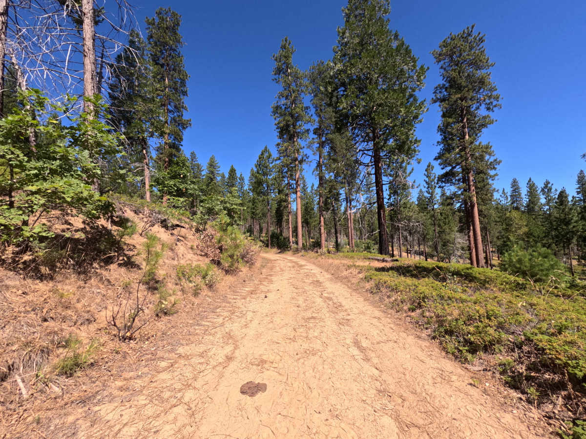
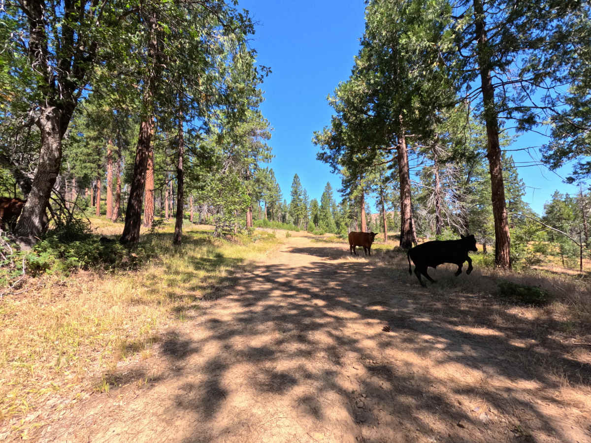
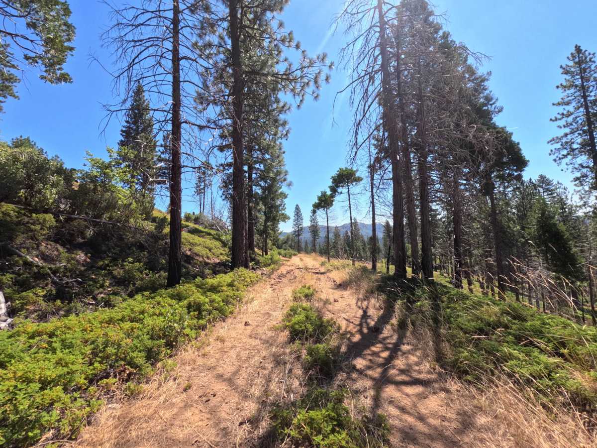
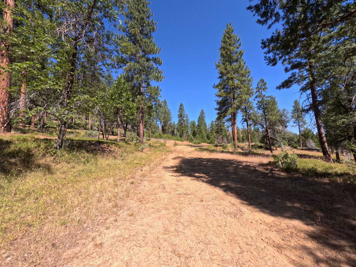
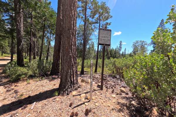
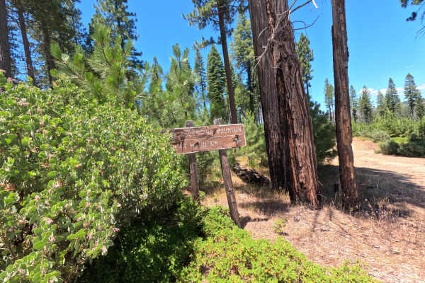
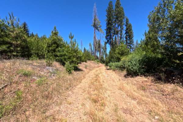
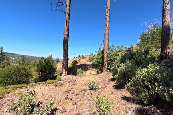
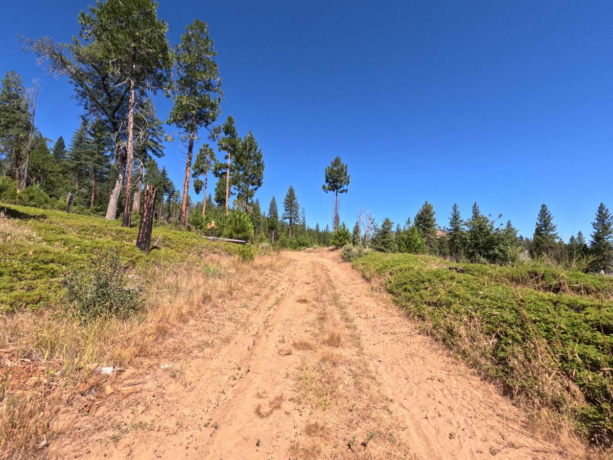
FS 1S41 is a two-way, moderately rough dirt trail running about a mile and a half from Forest Service Road 1S03, mostly winding through heavily wooded forest on a single-lane road that's comfortably wide for passing. A gate sits at the start bearing an illegible seasonal closure sign, though similar trails in the area close from December 15 to April 15. The packed dirt surface stays slow-going in spots but never technical. Past the fork with 1S4A, the road grows slightly rougher with minor ruts and some uncleared trail debris, though it remains easily passable with an all-wheel-drive vehicle. Cattle graze openly along parts of the route. Best driven in spring and summer, once the seasonal gate opens.

Photos of FS 1S41

Difficulty

FS 1S41 rates a 3 mainly because of its rough, slow-going surface rather than any single technical obstacle. The road is a packed dirt single-lane trail that's wide enough for passing but uneven in stretches, requiring a careful, moderate pace throughout. Past the fork with 1S4A, minor ruts and some uncleared trail debris add a bit more challenge, though the mapper found the road easily passable with an all-wheel-drive vehicle throughout.

Technical Rating

3

FS 1S41 Trail can be accessed by the following ride types:

  • Single Track
  • 50 Inch
  • 60 Inch
  • High Clearance
  • Full Width

FS 1S41 Map

The onX Offroad Difference

onX Offroad combines trail photos, descriptions, difficulty ratings, width restrictions, seasonality, and more in a user-friendly interface. Available on all devices, with offline access and full compatibility with CarPlay and Android Auto. Discover what you're missing today!

Open Trail Map